General Highway Map. Detail of Cities and Towns in Angelina County, Texas [Lufkin and vicinity]
-
Map/Doc
79351
-
Collection
Texas State Library and Archives
-
Object Dates
1961 (Creation Date)
-
People and Organizations
Texas State Highway Department (Publisher)
-
Counties
Angelina
-
Subjects
City County
-
Height x Width
18.3 x 25.0 inches
46.5 x 63.5 cm
-
Comments
Prints available courtesy of the Texas State Library and Archives.
More info can be found here: TSLAC Map 05037
Part of: Texas State Library and Archives
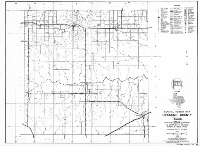
General Highway Map, Lipscomb County, Texas

Print $20.00
General Highway Map, Lipscomb County, Texas
1961
Size 18.1 x 24.6 inches
Map/Doc 79573
J. De Cordova's Map of the State of Texas Compiled from the records of the General Land Office of the State


Print $20.00
J. De Cordova's Map of the State of Texas Compiled from the records of the General Land Office of the State
1856
Size 34.2 x 32.1 inches
Map/Doc 76222
General Highway Map, Jim Hogg County, Texas


Print $20.00
General Highway Map, Jim Hogg County, Texas
1940
Size 24.8 x 18.5 inches
Map/Doc 79146
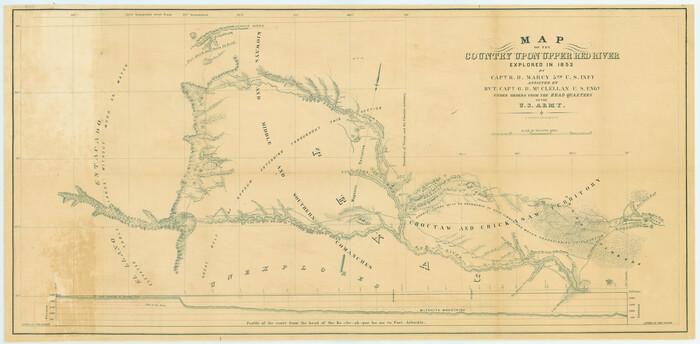
Map of the Country Upon Upper Red River Explored in 1852

Print $20.00
Map of the Country Upon Upper Red River Explored in 1852
1852
Size 17.2 x 34.9 inches
Map/Doc 79726
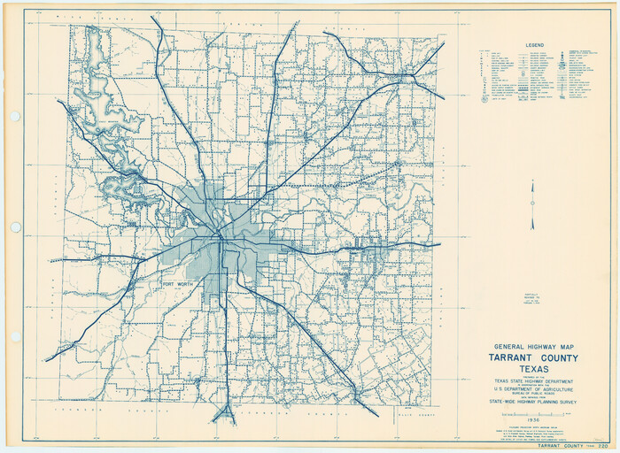
General Highway Map, Tarrant County, Texas

Print $20.00
General Highway Map, Tarrant County, Texas
1940
Size 18.4 x 25.2 inches
Map/Doc 79251
General Highway Map, Brewster County, Texas


Print $20.00
General Highway Map, Brewster County, Texas
1961
Size 18.3 x 24.9 inches
Map/Doc 79386
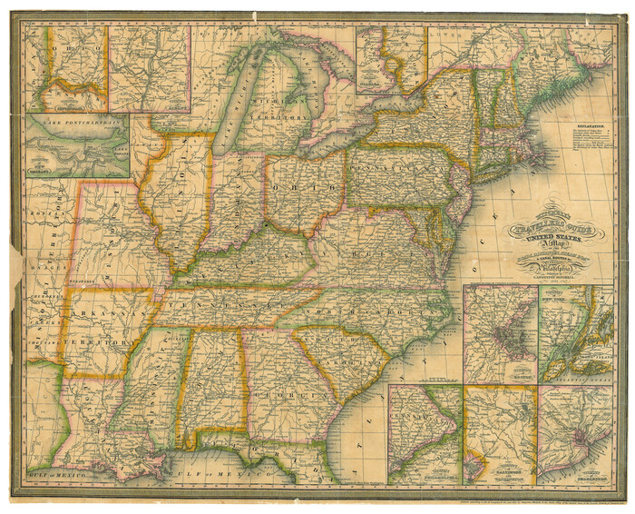
Mitchell's Travellers Guide Through the United States. A Map of the Roads, Distances, Steam Boat, and Canal Routes etc.

Print $20.00
Mitchell's Travellers Guide Through the United States. A Map of the Roads, Distances, Steam Boat, and Canal Routes etc.
1834
Size 18.2 x 22.6 inches
Map/Doc 79314
General Highway Map, Harris County, Texas
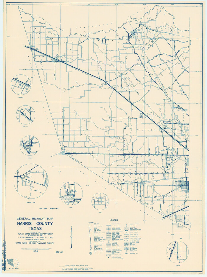

Print $20.00
General Highway Map, Harris County, Texas
1939
Size 24.7 x 18.4 inches
Map/Doc 79115
General Highway Map, DeWitt County, Texas
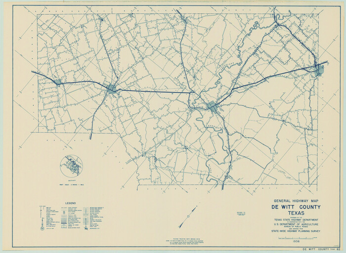

Print $20.00
General Highway Map, DeWitt County, Texas
1940
Size 18.5 x 25.2 inches
Map/Doc 79075
General Highway Map, Midland County, Texas


Print $20.00
General Highway Map, Midland County, Texas
1940
Size 18.2 x 24.5 inches
Map/Doc 79197
General Highway Map, Erath County, Texas


Print $20.00
General Highway Map, Erath County, Texas
1940
Size 24.7 x 18.4 inches
Map/Doc 79086
General Highway Map, Parmer County, Texas


Print $20.00
General Highway Map, Parmer County, Texas
1940
Size 18.3 x 24.6 inches
Map/Doc 79216
You may also like
Mills County Boundary File Index

Print $2.00
- Digital $50.00
Mills County Boundary File Index
Size 8.8 x 8.9 inches
Map/Doc 57258
Comanche County Working Sketch 17
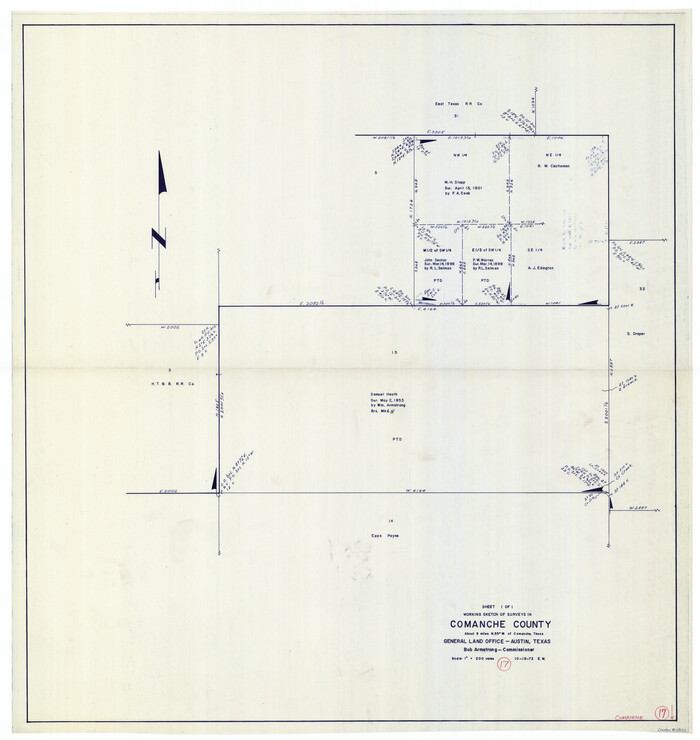

Print $20.00
- Digital $50.00
Comanche County Working Sketch 17
1972
Size 39.5 x 37.4 inches
Map/Doc 68151
Zavala County Rolled Sketch 16


Print $20.00
- Digital $50.00
Zavala County Rolled Sketch 16
Size 19.4 x 25.4 inches
Map/Doc 8321
Webb County Rolled Sketch 49


Print $40.00
- Digital $50.00
Webb County Rolled Sketch 49
1943
Size 55.4 x 13.1 inches
Map/Doc 10124
[West half of County]
![93188, [West half of County], Twichell Survey Records](https://historictexasmaps.com/wmedia_w700/maps/93188-1.tif.jpg)
![93188, [West half of County], Twichell Survey Records](https://historictexasmaps.com/wmedia_w700/maps/93188-1.tif.jpg)
Print $40.00
- Digital $50.00
[West half of County]
1914
Size 38.7 x 97.9 inches
Map/Doc 93188
Phelps & Ensign's Travellers' Guide, and Map of the United States containing the roads, distances, steam boat and canal routes & c.
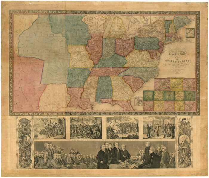

Print $20.00
- Digital $50.00
Phelps & Ensign's Travellers' Guide, and Map of the United States containing the roads, distances, steam boat and canal routes & c.
1841
Size 28.8 x 33.9 inches
Map/Doc 96875
Nolan County Sketch File 17

Print $6.00
- Digital $50.00
Nolan County Sketch File 17
1940
Size 17.9 x 10.1 inches
Map/Doc 32487
Maverick County Sketch File 28
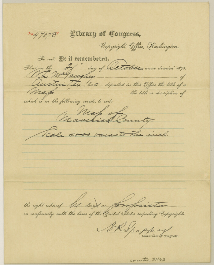

Print $4.00
- Digital $50.00
Maverick County Sketch File 28
1893
Size 11.0 x 8.9 inches
Map/Doc 31163
Flight Mission No. CRK-8P, Frame 117, Refugio County
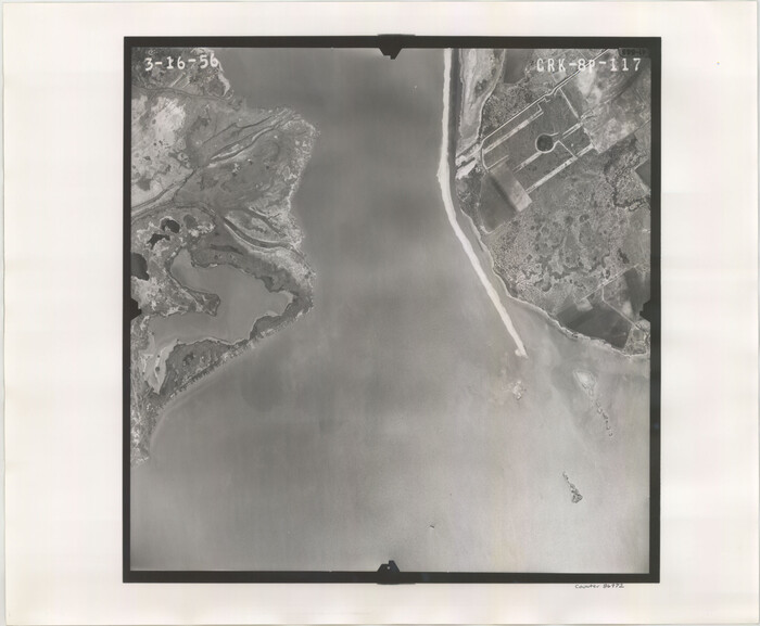

Print $20.00
- Digital $50.00
Flight Mission No. CRK-8P, Frame 117, Refugio County
1956
Size 18.1 x 22.0 inches
Map/Doc 86972
Flight Mission No. CRC-3R, Frame 98, Chambers County

Print $20.00
- Digital $50.00
Flight Mission No. CRC-3R, Frame 98, Chambers County
1956
Size 18.7 x 22.5 inches
Map/Doc 84836
Shelby County Working Sketch 3
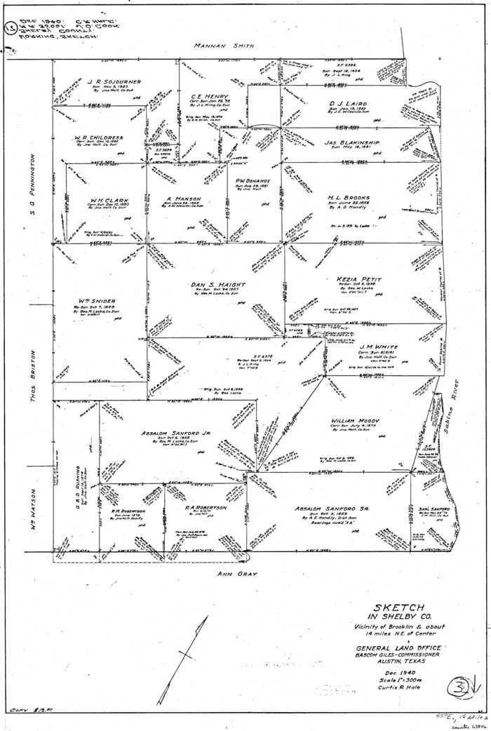

Print $20.00
- Digital $50.00
Shelby County Working Sketch 3
1940
Size 28.9 x 19.4 inches
Map/Doc 63856
![79351, General Highway Map. Detail of Cities and Towns in Angelina County, Texas [Lufkin and vicinity], Texas State Library and Archives](https://historictexasmaps.com/wmedia_w1800h1800/maps/79351.tif.jpg)
