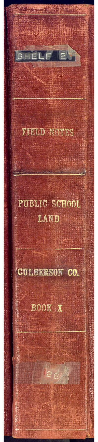
PSL Field Notes for Blocks 60, 61, 62, 83, 84, 85, 88, 89, 90, 91, 92, and 93 in Culberson County
Field Notes, Public School Land, Culberson County Book X
-
Map/Doc
81667
-
Collection
General Map Collection
-
People and Organizations
Clifford C. Cool (Surveyor/Engineer)
-
Counties
Culberson
-
Subjects
Bound Volume Public School Land
-
Medium
paper, bound volume
-
Comments
See 97176 for an index to the Public School Land field note volumes.
Related maps
Public School Land Field Note Volume Index

Public School Land Field Note Volume Index
2023
Size 8.5 x 11.0 inches
Map/Doc 97176
Part of: General Map Collection
Flight Mission No. CLL-1N, Frame 193, Willacy County

Print $20.00
- Digital $50.00
Flight Mission No. CLL-1N, Frame 193, Willacy County
1954
Size 18.4 x 22.2 inches
Map/Doc 87063
Orange County Working Sketch 26

Print $20.00
- Digital $50.00
Orange County Working Sketch 26
1953
Size 13.4 x 22.0 inches
Map/Doc 71358
San Jacinto County Sketch File 12

Print $4.00
San Jacinto County Sketch File 12
1873
Size 9.7 x 8.2 inches
Map/Doc 35720
[Map of Hidalgo County]
![6207, [Map of Hidalgo County], General Map Collection](https://historictexasmaps.com/wmedia_w700/maps/6207.tif.jpg)
Print $20.00
- Digital $50.00
[Map of Hidalgo County]
1882
Size 26.0 x 19.9 inches
Map/Doc 6207
Jefferson Co.

Print $20.00
- Digital $50.00
Jefferson Co.
1978
Size 47.0 x 41.1 inches
Map/Doc 77329
Calhoun County Sketch File 8

Print $12.00
- Digital $50.00
Calhoun County Sketch File 8
1948
Size 14.2 x 9.0 inches
Map/Doc 35930
Erath County Sketch File 26

Print $6.00
- Digital $50.00
Erath County Sketch File 26
1896
Size 9.5 x 8.1 inches
Map/Doc 22306
Flight Mission No. BRA-16M, Frame 92, Jefferson County

Print $20.00
- Digital $50.00
Flight Mission No. BRA-16M, Frame 92, Jefferson County
1953
Size 18.6 x 22.3 inches
Map/Doc 85704
Gaines County Rolled Sketch 15B

Print $40.00
- Digital $50.00
Gaines County Rolled Sketch 15B
Size 207.7 x 26.0 inches
Map/Doc 9037
Map of Fayette County

Print $20.00
- Digital $50.00
Map of Fayette County
1871
Size 19.2 x 22.0 inches
Map/Doc 3538
Harris County Rolled Sketch 87A

Print $20.00
- Digital $50.00
Harris County Rolled Sketch 87A
Size 41.1 x 47.6 inches
Map/Doc 78250

You may also like
Flight Mission No. CGI-3N, Frame 53, Cameron County

Print $20.00
- Digital $50.00
Flight Mission No. CGI-3N, Frame 53, Cameron County
1954
Size 18.5 x 22.2 inches
Map/Doc 84559
Burleson County Working Sketch 37

Print $20.00
- Digital $50.00
Burleson County Working Sketch 37
1982
Size 33.7 x 44.3 inches
Map/Doc 67756
[From the lower corner of the Juan Zambrano survey to the Medina River]
![97, [From the lower corner of the Juan Zambrano survey to the Medina River], General Map Collection](https://historictexasmaps.com/wmedia_w700/maps/97.tif.jpg)
Print $20.00
- Digital $50.00
[From the lower corner of the Juan Zambrano survey to the Medina River]
1844
Size 19.0 x 8.0 inches
Map/Doc 97
Flight Mission No. CRK-8P, Frame 117, Refugio County

Print $20.00
- Digital $50.00
Flight Mission No. CRK-8P, Frame 117, Refugio County
1956
Size 18.1 x 22.0 inches
Map/Doc 86972
Houston County Working Sketch 23

Print $20.00
- Digital $50.00
Houston County Working Sketch 23
1983
Size 19.4 x 25.3 inches
Map/Doc 66253
Hood County Sketch File 9

Print $26.00
- Digital $50.00
Hood County Sketch File 9
1859
Size 9.6 x 4.5 inches
Map/Doc 26586
Millennium in Maps - Exploration

Millennium in Maps - Exploration
Size 20.6 x 31.5 inches
Map/Doc 95931
Medina County Working Sketch 21

Print $20.00
- Digital $50.00
Medina County Working Sketch 21
1982
Size 18.1 x 23.3 inches
Map/Doc 70936
[State Capitol Leagues, County School Leagues, and vicinity]
![92535, [State Capitol Leagues, County School Leagues, and vicinity], Twichell Survey Records](https://historictexasmaps.com/wmedia_w700/maps/92535-1.tif.jpg)
Print $20.00
- Digital $50.00
[State Capitol Leagues, County School Leagues, and vicinity]
1913
Size 20.8 x 27.6 inches
Map/Doc 92535
Lamar County, Texas

Print $20.00
- Digital $50.00
Lamar County, Texas
1870
Size 21.5 x 18.1 inches
Map/Doc 738
Crockett County Sketch File 60

Print $22.00
- Digital $50.00
Crockett County Sketch File 60
1925
Size 11.4 x 8.7 inches
Map/Doc 19837
Liberty County Working Sketch 12

Print $20.00
- Digital $50.00
Liberty County Working Sketch 12
1914
Size 14.0 x 17.5 inches
Map/Doc 70471