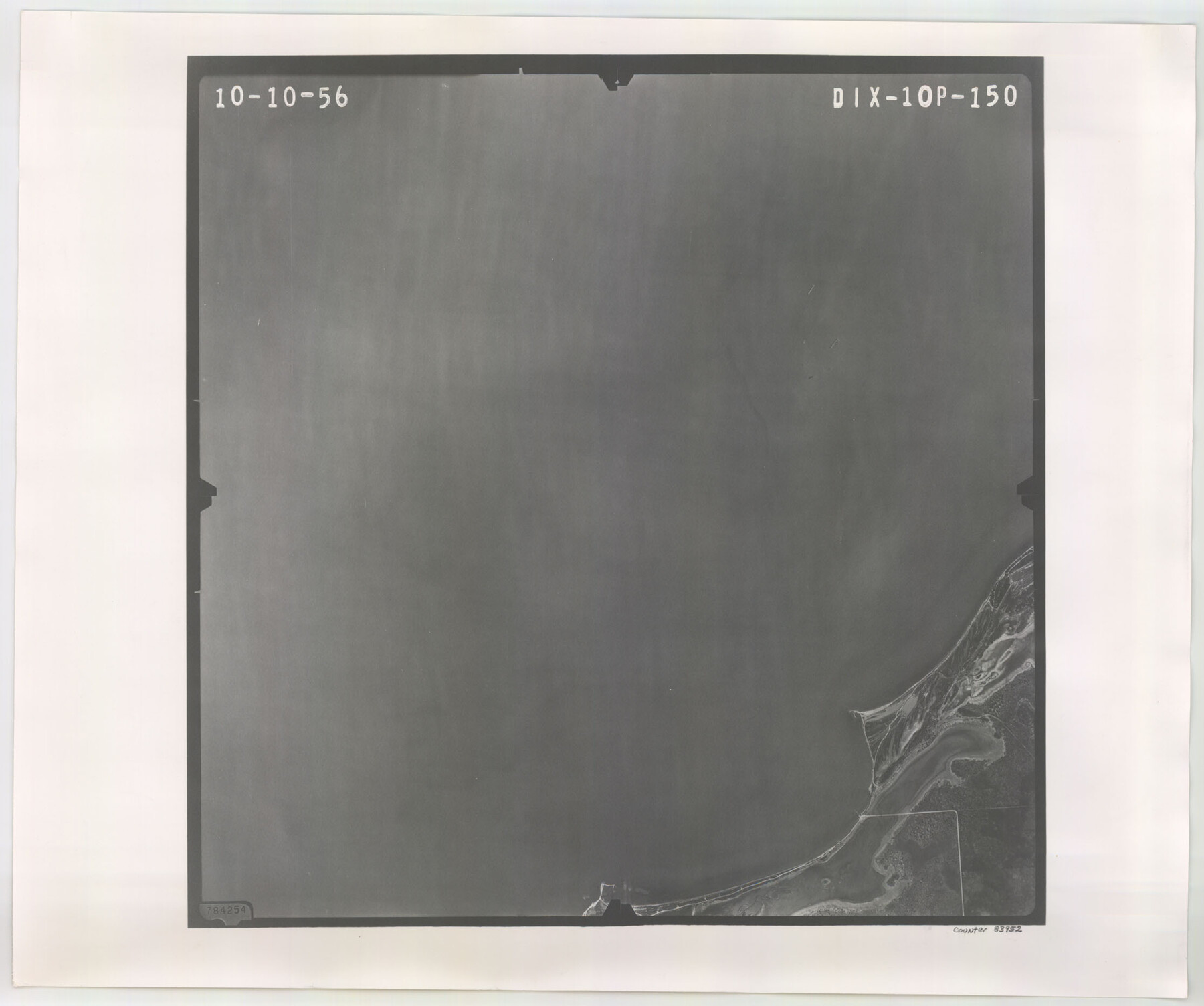
Flight Mission No. DIX-10P, Frame 150, Aransas County
DIX-10P-150
-
Map/Doc
83952
-
Collection
General Map Collection
-
Object Dates
1956/10/10 (Creation Date)
-
People and Organizations
U. S. Department of Agriculture (Publisher)
-
Counties
Aransas
-
Subjects
Aerial Photograph
-
Height x Width
18.7 x 22.3 inches
47.5 x 56.6 cm
-
Comments
Flown by V. L. Beavers and Associates of San Antonio, Texas.
Part of: General Map Collection
Potter County Rolled Sketch 13

Print $20.00
- Digital $50.00
Potter County Rolled Sketch 13
2004
Size 18.4 x 23.4 inches
Map/Doc 82476
[Surveys in the Nacogdoches District, Rusk County]
![339, [Surveys in the Nacogdoches District, Rusk County], General Map Collection](https://historictexasmaps.com/wmedia_w700/maps/339.tif.jpg)
Print $2.00
- Digital $50.00
[Surveys in the Nacogdoches District, Rusk County]
Size 6.0 x 8.2 inches
Map/Doc 339
Nueces County NRC Article 33.136 Sketch 19

Print $38.00
- Digital $50.00
Nueces County NRC Article 33.136 Sketch 19
2015
Size 35.0 x 22.0 inches
Map/Doc 94767
Sulphur River and Cut Hand Creek, Hardison Lake Sheet

Print $20.00
- Digital $50.00
Sulphur River and Cut Hand Creek, Hardison Lake Sheet
1919
Size 22.5 x 24.2 inches
Map/Doc 65177
Travis County Sketch File 13

Print $4.00
- Digital $50.00
Travis County Sketch File 13
1858
Size 8.2 x 6.5 inches
Map/Doc 38306
Polk County Working Sketch Graphic Index

Print $20.00
- Digital $50.00
Polk County Working Sketch Graphic Index
1943
Size 46.9 x 41.5 inches
Map/Doc 76668
San Jacinto County Working Sketch 13

Print $20.00
- Digital $50.00
San Jacinto County Working Sketch 13
1935
Size 25.0 x 18.8 inches
Map/Doc 63726
Real County Working Sketch 10

Print $20.00
- Digital $50.00
Real County Working Sketch 10
1929
Size 23.0 x 15.4 inches
Map/Doc 71902
Brewster County Rolled Sketch 29

Print $20.00
- Digital $50.00
Brewster County Rolled Sketch 29
1910
Size 17.5 x 18.5 inches
Map/Doc 5216
Uvalde County Sketch File 17

Print $20.00
- Digital $50.00
Uvalde County Sketch File 17
1882
Size 17.5 x 17.9 inches
Map/Doc 12531
Brewster County Sketch File 18

Print $8.00
- Digital $50.00
Brewster County Sketch File 18
1942
Size 13.8 x 7.6 inches
Map/Doc 15813
San Patricio County Rolled Sketch 30A

Print $20.00
- Digital $50.00
San Patricio County Rolled Sketch 30A
1941
Size 23.3 x 30.4 inches
Map/Doc 9897
You may also like
Harris County Historic Topographic 35

Print $20.00
- Digital $50.00
Harris County Historic Topographic 35
1915
Size 19.6 x 23.6 inches
Map/Doc 65846
Magnolia Road Map of Texas

Print $20.00
Magnolia Road Map of Texas
1933
Size 18.1 x 24.1 inches
Map/Doc 76301
Presidio County Boundary File 3a

Print $40.00
- Digital $50.00
Presidio County Boundary File 3a
Size 17.7 x 38.0 inches
Map/Doc 58074
Panola County Rolled Sketch 1

Print $20.00
- Digital $50.00
Panola County Rolled Sketch 1
Size 17.5 x 23.9 inches
Map/Doc 7196
Webb County Working Sketch 76

Print $20.00
- Digital $50.00
Webb County Working Sketch 76
1975
Size 43.3 x 37.5 inches
Map/Doc 72443


[Right of Way & Track Map, The Texas & Pacific Ry. Co. Main Line]
![64675, [Right of Way & Track Map, The Texas & Pacific Ry. Co. Main Line], General Map Collection](https://historictexasmaps.com/wmedia_w700/maps/64675.tif.jpg)
Print $20.00
- Digital $50.00
[Right of Way & Track Map, The Texas & Pacific Ry. Co. Main Line]
Size 11.0 x 18.4 inches
Map/Doc 64675
Crosby County Working Sketch 10

Print $20.00
- Digital $50.00
Crosby County Working Sketch 10
1946
Size 44.5 x 23.7 inches
Map/Doc 68444
Live Oak County Rolled Sketch 2

Print $20.00
- Digital $50.00
Live Oak County Rolled Sketch 2
1944
Size 34.1 x 26.6 inches
Map/Doc 6632
San Jacinto County Working Sketch 5

Print $20.00
- Digital $50.00
San Jacinto County Working Sketch 5
1934
Size 16.5 x 21.2 inches
Map/Doc 63718
Matagorda County Working Sketch 28

Print $3.00
- Digital $50.00
Matagorda County Working Sketch 28
1980
Size 10.7 x 12.1 inches
Map/Doc 70886