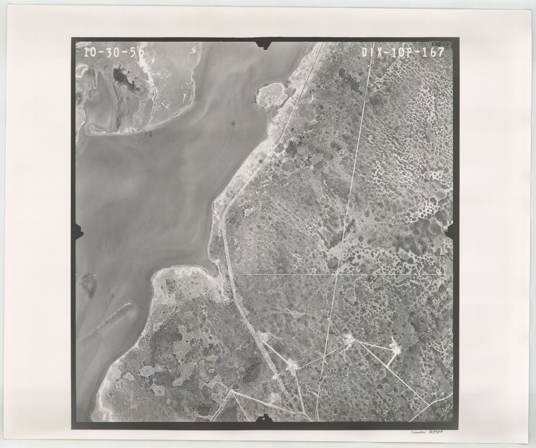
Flight Mission No. DIX-10P, Frame 167, Aransas County
DIX-10P-167
-
Map/Doc
83957
-
Collection
General Map Collection
-
Object Dates
1956/10/30 (Creation Date)
-
People and Organizations
U. S. Department of Agriculture (Publisher)
-
Counties
Aransas
-
Subjects
Aerial Photograph
-
Height x Width
18.6 x 22.3 inches
47.2 x 56.6 cm
-
Comments
Flown by V. L. Beavers and Associates of San Antonio, Texas.
Part of: General Map Collection
Jefferson County Rolled Sketch 59

Print $40.00
- Digital $50.00
Jefferson County Rolled Sketch 59
1898
Size 30.0 x 59.4 inches
Map/Doc 9313
Plan of the Battle of Buena-Vista fought February 22nd and 23rd, 1847

Print $20.00
- Digital $50.00
Plan of the Battle of Buena-Vista fought February 22nd and 23rd, 1847
1847
Size 17.8 x 21.5 inches
Map/Doc 94112

Galveston County NRC Article 33.136 Sketch 53

Print $24.00
- Digital $50.00
Galveston County NRC Article 33.136 Sketch 53
2009
Size 22.3 x 34.0 inches
Map/Doc 94609
Hardeman County Aerial Photograph Index Sheet 3

Print $20.00
- Digital $50.00
Hardeman County Aerial Photograph Index Sheet 3
1950
Size 20.3 x 17.0 inches
Map/Doc 83699
Jackson County

Print $20.00
- Digital $50.00
Jackson County
1920
Size 46.9 x 40.8 inches
Map/Doc 77324
Young County Working Sketch 6

Print $20.00
- Digital $50.00
Young County Working Sketch 6
1919
Size 12.2 x 11.9 inches
Map/Doc 62029
Oil Fields of the Texas-Louisiana Gulf Coastal Plain

Oil Fields of the Texas-Louisiana Gulf Coastal Plain
1903
Map/Doc 97518
Brewster County Sketch File 18

Print $8.00
- Digital $50.00
Brewster County Sketch File 18
1942
Size 13.8 x 7.6 inches
Map/Doc 15813
Flight Mission No. BRA-7M, Frame 33, Jefferson County

Print $20.00
- Digital $50.00
Flight Mission No. BRA-7M, Frame 33, Jefferson County
1953
Size 18.6 x 22.4 inches
Map/Doc 85484
Carson County Boundary File 8

Print $40.00
- Digital $50.00
Carson County Boundary File 8
Size 7.8 x 35.0 inches
Map/Doc 51171
That part of the boundary between the Republic of Texas and the United States, North of Sabine River from the 36th to the 72nd Mile Mound on the Meridian Line (Sheet No. 2)

Print $20.00
- Digital $50.00
That part of the boundary between the Republic of Texas and the United States, North of Sabine River from the 36th to the 72nd Mile Mound on the Meridian Line (Sheet No. 2)
1842
Size 33.7 x 26.0 inches
Map/Doc 3132
You may also like
General Highway Map, Cameron County, Texas

Print $20.00
General Highway Map, Cameron County, Texas
1961
Size 18.3 x 24.7 inches
Map/Doc 79398

Kimble County Sketch File 28

Print $20.00
- Digital $50.00
Kimble County Sketch File 28
Size 23.3 x 17.8 inches
Map/Doc 11927
Map of surveys 189 & 190, T. C. R.R. Co. in Travis County, Texas

Print $20.00
- Digital $50.00
Map of surveys 189 & 190, T. C. R.R. Co. in Travis County, Texas
1915
Size 16.3 x 23.5 inches
Map/Doc 75762
Harris County Sketch File AA-2

Print $26.00
- Digital $50.00
Harris County Sketch File AA-2
Size 11.3 x 8.5 inches
Map/Doc 25323
Donley County Sketch File B2

Print $20.00
- Digital $50.00
Donley County Sketch File B2
1918
Size 15.1 x 22.4 inches
Map/Doc 11372
Bexar County Sketch File 11

Print $2.00
- Digital $50.00
Bexar County Sketch File 11
Size 8.3 x 9.5 inches
Map/Doc 14481
Kaufman County

Print $20.00
- Digital $50.00
Kaufman County
1942
Size 44.5 x 36.7 inches
Map/Doc 77335
Texas Panhandle East Boundary Line

Print $20.00
- Digital $50.00
Texas Panhandle East Boundary Line
1898
Size 11.6 x 35.5 inches
Map/Doc 1741
[F. W. & D. C. Ry. Co. Alignment and Right of Way Map, Clay County]
![64722, [F. W. & D. C. Ry. Co. Alignment and Right of Way Map, Clay County], General Map Collection](https://historictexasmaps.com/wmedia_w700/maps/64722-1.tif.jpg)
Print $20.00
- Digital $50.00
[F. W. & D. C. Ry. Co. Alignment and Right of Way Map, Clay County]
1927
Size 18.7 x 11.7 inches
Map/Doc 64722
Upton County Rolled Sketch 12

Print $20.00
- Digital $50.00
Upton County Rolled Sketch 12
Size 30.3 x 38.3 inches
Map/Doc 10036
Flight Mission No. CGI-3N, Frame 104, Cameron County

Print $20.00
- Digital $50.00
Flight Mission No. CGI-3N, Frame 104, Cameron County
1954
Size 18.6 x 22.3 inches
Map/Doc 84584