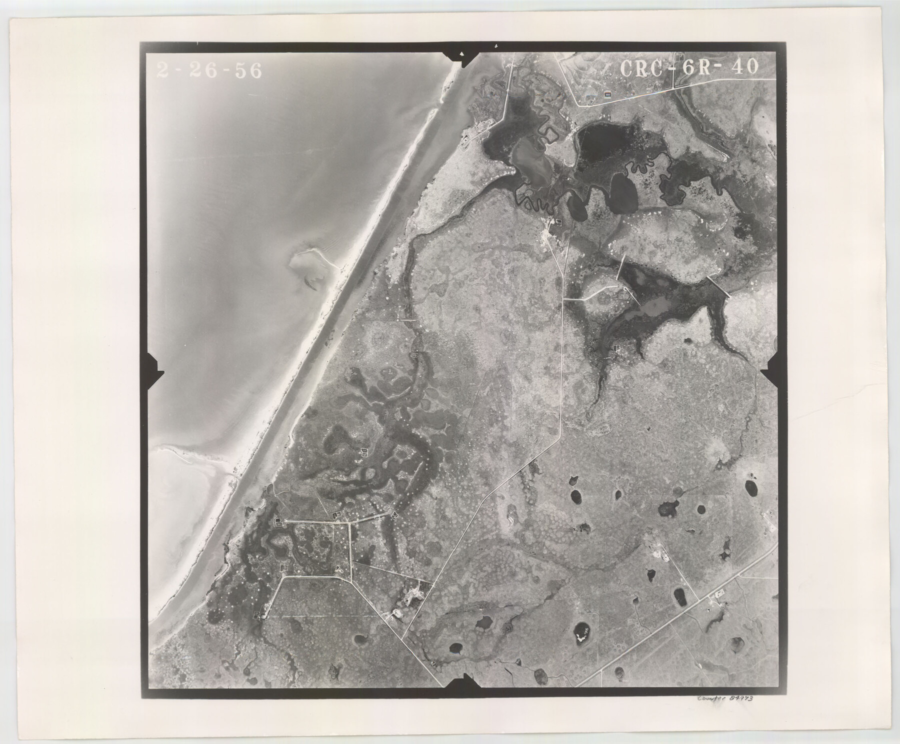
Flight Mission No. CRC-6R, Frame 40, Chambers County
CRC-6R-40
-
Map/Doc
84973
-
Collection
General Map Collection
-
Object Dates
1956/2/26 (Creation Date)
-
People and Organizations
U. S. Department of Agriculture (Publisher)
-
Counties
Chambers
-
Subjects
Aerial Photograph
-
Height x Width
18.6 x 22.5 inches
47.2 x 57.2 cm
-
Comments
Flown by Jack Ammann Photogrammetric Engineers, Inc. of San Antonio, Texas.
Part of: General Map Collection
Coryell County

Print $20.00
- Digital $50.00
Coryell County
1936
Size 44.6 x 40.1 inches
Map/Doc 77249
Map of part of the Southern States to illustrate Olney's school geography

Print $20.00
- Digital $50.00
Map of part of the Southern States to illustrate Olney's school geography
1844
Size 12.1 x 19.0 inches
Map/Doc 93540
Flight Mission No. CGI-3N, Frame 45, Cameron County

Print $20.00
- Digital $50.00
Flight Mission No. CGI-3N, Frame 45, Cameron County
1954
Size 18.5 x 22.2 inches
Map/Doc 84551

Flight Mission No. CUG-1P, Frame 104, Kleberg County

Print $20.00
- Digital $50.00
Flight Mission No. CUG-1P, Frame 104, Kleberg County
1956
Size 18.5 x 21.1 inches
Map/Doc 86154
Coke County Sketch File 19

Print $20.00
- Digital $50.00
Coke County Sketch File 19
Size 18.5 x 25.0 inches
Map/Doc 11110
DeWitt County Sketch File 11

Print $20.00
- Digital $50.00
DeWitt County Sketch File 11
1851
Size 24.5 x 35.2 inches
Map/Doc 11314
Flight Mission No. DQN-3K, Frame 73, Calhoun County

Print $20.00
- Digital $50.00
Flight Mission No. DQN-3K, Frame 73, Calhoun County
1953
Size 18.6 x 22.4 inches
Map/Doc 84364
University Land, Winkler-Andrews-Gaines-Dawson-Martin Counties

Print $40.00
- Digital $50.00
University Land, Winkler-Andrews-Gaines-Dawson-Martin Counties
Size 42.8 x 53.2 inches
Map/Doc 62931
Packery Channel

Print $3.00
- Digital $50.00
Packery Channel
1962
Size 10.6 x 12.8 inches
Map/Doc 3006
Red River County Working Sketch 51

Print $20.00
- Digital $50.00
Red River County Working Sketch 51
1970
Size 31.2 x 28.5 inches
Map/Doc 72034
Bexar County Working Sketch 13

Print $20.00
- Digital $50.00
Bexar County Working Sketch 13
1968
Size 43.5 x 43.7 inches
Map/Doc 67329
You may also like
Cottle County Working Sketch 3

Print $20.00
- Digital $50.00
Cottle County Working Sketch 3
1900
Size 13.6 x 11.4 inches
Map/Doc 68313
Willacy County

Print $20.00
- Digital $50.00
Willacy County
1921
Size 25.2 x 33.1 inches
Map/Doc 1901
Runnels County Rolled Sketch 30

Print $20.00
- Digital $50.00
Runnels County Rolled Sketch 30
Size 26.8 x 30.6 inches
Map/Doc 7518
Map of the St. Louis, Iron Mountain and Southern Railway, and connections

Print $20.00
- Digital $50.00
Map of the St. Louis, Iron Mountain and Southern Railway, and connections
1880
Size 10.5 x 14.4 inches
Map/Doc 95786
Callahan County

Print $20.00
- Digital $50.00
Callahan County
1879
Size 22.0 x 17.9 inches
Map/Doc 3362
Austin County Sketch File 15

Print $12.00
- Digital $50.00
Austin County Sketch File 15
Size 9.5 x 8.2 inches
Map/Doc 13882
Brewster County Working Sketch 86

Print $20.00
- Digital $50.00
Brewster County Working Sketch 86
1973
Size 27.6 x 27.7 inches
Map/Doc 67686
[Sketch for Mineral Application 13436 - Cut-off Bayou]
![65676, [Sketch for Mineral Application 13436 - Cut-off Bayou], General Map Collection](https://historictexasmaps.com/wmedia_w700/maps/65676-1.tif.jpg)
Print $20.00
- Digital $50.00
[Sketch for Mineral Application 13436 - Cut-off Bayou]
1928
Size 44.1 x 21.6 inches
Map/Doc 65676
Terre Nove (verso)

Print $20.00
- Digital $50.00
Terre Nove (verso)
1522
Size 12.2 x 7.8 inches
Map/Doc 93802
de Leon Empresario Colony. April 15, 1824

Print $20.00
de Leon Empresario Colony. April 15, 1824
2020
Size 18.5 x 21.7 inches
Map/Doc 95988
Cass County Sketch File 4

Print $6.00
- Digital $50.00
Cass County Sketch File 4
1853
Size 8.2 x 11.2 inches
Map/Doc 17398
Tom Green County Sketch File 51

Print $20.00
- Digital $50.00
Tom Green County Sketch File 51
1884
Size 44.0 x 27.5 inches
Map/Doc 10403