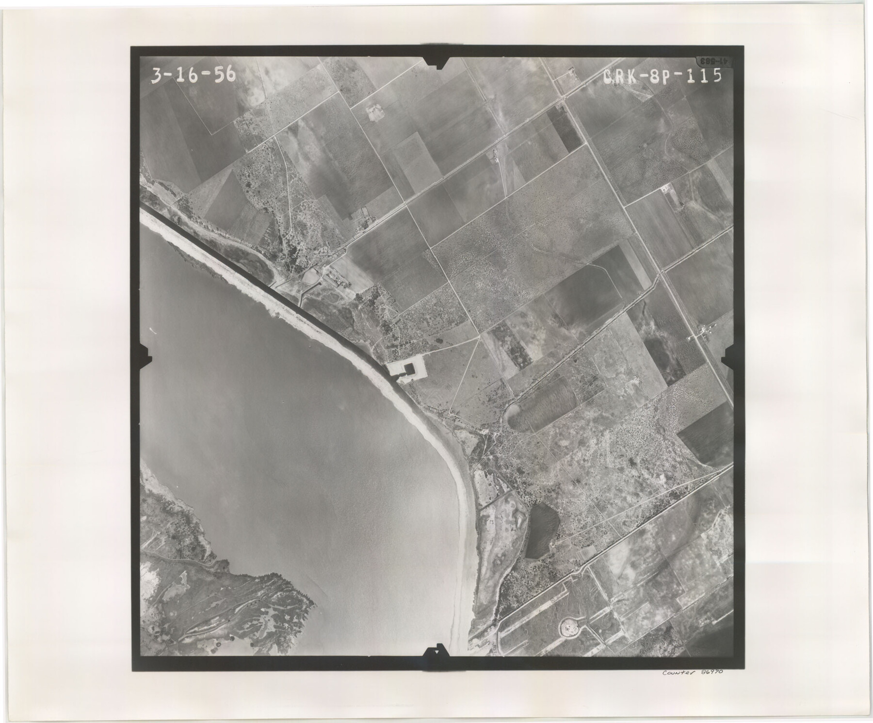
Flight Mission No. CRK-8P, Frame 115, Refugio County
CRK-8P-115
- 
                          Map/Doc
86970
 - 
                            Collection
General Map Collection
 - 
                            Object Dates
1956/3/16 (Creation Date)
 - 
                            People and Organizations
U. S. Department of Agriculture (Publisher)
 - 
                            Counties
Refugio
 - 
                            Subjects
Aerial Photograph
 - 
                            Height x Width
18.3 x 22.1 inches
46.5 x 56.1 cm
 - 
                            Comments
Flown by V. L. Beavers and Associates of San Antonio, Texas.
 
Part of: General Map Collection
            Soil Map, Texas, Woodville Sheet


                                            Print $20.00                    
                                             -                         Digital $50.00                                    
                Soil Map, Texas, Woodville Sheet
1903
Size 13.2 x 14.3 inches
                                Map/Doc 3077
            
            Erath County Rolled Sketch 2B


                                            Print $20.00                    
                                             -                         Digital $50.00                                    
                Erath County Rolled Sketch 2B
Size 15.5 x 20.9 inches
                                Map/Doc 5863
            
            Val Verde County Rolled Sketch 38


                                            Print $20.00                    
                                             -                         Digital $50.00                                    
                Val Verde County Rolled Sketch 38
Size 30.4 x 19.5 inches
                                Map/Doc 61781
            
            Jefferson County Rolled Sketch 17


                                            Print $40.00                    
                                             -                         Digital $50.00                                    
                Jefferson County Rolled Sketch 17
1931
Size 18.7 x 72.6 inches
                                Map/Doc 9281
            
            Lamb County Working Sketch Graphic Index


                                            Print $20.00                    
                                             -                         Digital $50.00                                    
                Lamb County Working Sketch Graphic Index
1961
Size 43.8 x 34.1 inches
                                Map/Doc 76613
            
            Webb County Sketch File 14-2


                                            Print $6.00                    
                                             -                         Digital $50.00                                    
                Webb County Sketch File 14-2
1936
Size 14.3 x 8.7 inches
                                Map/Doc 39817
            
            Jackson County Rolled Sketch 7


                                            Print $20.00                    
                                             -                         Digital $50.00                                    
                Jackson County Rolled Sketch 7
1940
Size 23.0 x 32.2 inches
                                Map/Doc 6342
            
            Travis County Rolled Sketch 56


                                            Print $20.00                    
                                             -                         Digital $50.00                                    
                Travis County Rolled Sketch 56
1885
Size 16.7 x 23.2 inches
                                Map/Doc 8047
            
            Yoakum County Sketch File 13


                                            Print $49.00                    
                                             -                         Digital $50.00                                    
                Yoakum County Sketch File 13
1898
Size 8.3 x 8.6 inches
                                Map/Doc 40767
            
            Chambers County Rolled Sketch 33


                                            Print $71.00                    
                                             -                         Digital $50.00                                    
                Chambers County Rolled Sketch 33
1950
Size 10.7 x 15.6 inches
                                Map/Doc 44106
            
            Flight Mission No. DAH-17M, Frame 66, Orange County


                                            Print $20.00                    
                                             -                         Digital $50.00                                    
                Flight Mission No. DAH-17M, Frame 66, Orange County
1953
Size 18.6 x 22.3 inches
                                Map/Doc 86900
            
            Edwards County Working Sketch 95


                                            Print $20.00                    
                                             -                         Digital $50.00                                    
                Edwards County Working Sketch 95
1968
Size 26.0 x 24.9 inches
                                Map/Doc 68971
            You may also like
            Colorado River, LaGrange Sheet


                                            Print $20.00                    
                                             -                         Digital $50.00                                    
                Colorado River, LaGrange Sheet
1934
Size 37.8 x 32.9 inches
                                Map/Doc 65302
            
            Hutchinson County Working Sketch 27


                                            Print $20.00                    
                                             -                         Digital $50.00                                    
                Hutchinson County Working Sketch 27
1978
Size 26.8 x 22.2 inches
                                Map/Doc 66387
            
            Flight Mission No. DQN-2K, Frame 161, Calhoun County


                                            Print $20.00                    
                                             -                         Digital $50.00                                    
                Flight Mission No. DQN-2K, Frame 161, Calhoun County
1953
Size 18.5 x 22.3 inches
                                Map/Doc 84323
            
            Harris County Working Sketch 100


                                            Print $20.00                    
                                             -                         Digital $50.00                                    
                Harris County Working Sketch 100
1979
Size 29.9 x 31.3 inches
                                Map/Doc 65992
            
            Potter County Boundary File 6a


                                            Print $20.00                    
                                             -                         Digital $50.00                                    
                Potter County Boundary File 6a
Size 43.8 x 15.6 inches
                                Map/Doc 58039
            
            [Sketch for Mineral Application 13440]


                                            Print $40.00                    
                                             -                         Digital $50.00                                    
                [Sketch for Mineral Application 13440]
Size 42.4 x 66.0 inches
                                Map/Doc 65673
            
            San Patricio County Sketch File 36


                                            Print $26.00                    
                                             -                         Digital $50.00                                    
                San Patricio County Sketch File 36
1940
Size 11.3 x 8.7 inches
                                Map/Doc 36129
            
            Bailey County Working Sketch 3


                                            Print $20.00                    
                                             -                         Digital $50.00                                    
                Bailey County Working Sketch 3
1922
Size 17.3 x 28.0 inches
                                Map/Doc 67590
            
            Plat of Division 3 of Day Ranch Lands, Leaday, Texas


                                            Print $20.00                    
                                             -                         Digital $50.00                                    
                Plat of Division 3 of Day Ranch Lands, Leaday, Texas
Size 20.4 x 21.8 inches
                                Map/Doc 81514
            
            Parker County Sketch File 4


                                            Print $6.00                    
                                             -                         Digital $50.00                                    
                Parker County Sketch File 4
1856
Size 6.2 x 5.8 inches
                                Map/Doc 33525
            
            Harris County Boundary File 39 (20)


                                            Print $4.00                    
                                             -                         Digital $50.00                                    
                Harris County Boundary File 39 (20)
Size 10.1 x 8.0 inches
                                Map/Doc 54363
            
            Kent County Boundary File 4


                                            Print $20.00                    
                                             -                         Digital $50.00                                    
                Kent County Boundary File 4
Size 8.8 x 4.6 inches
                                Map/Doc 55828