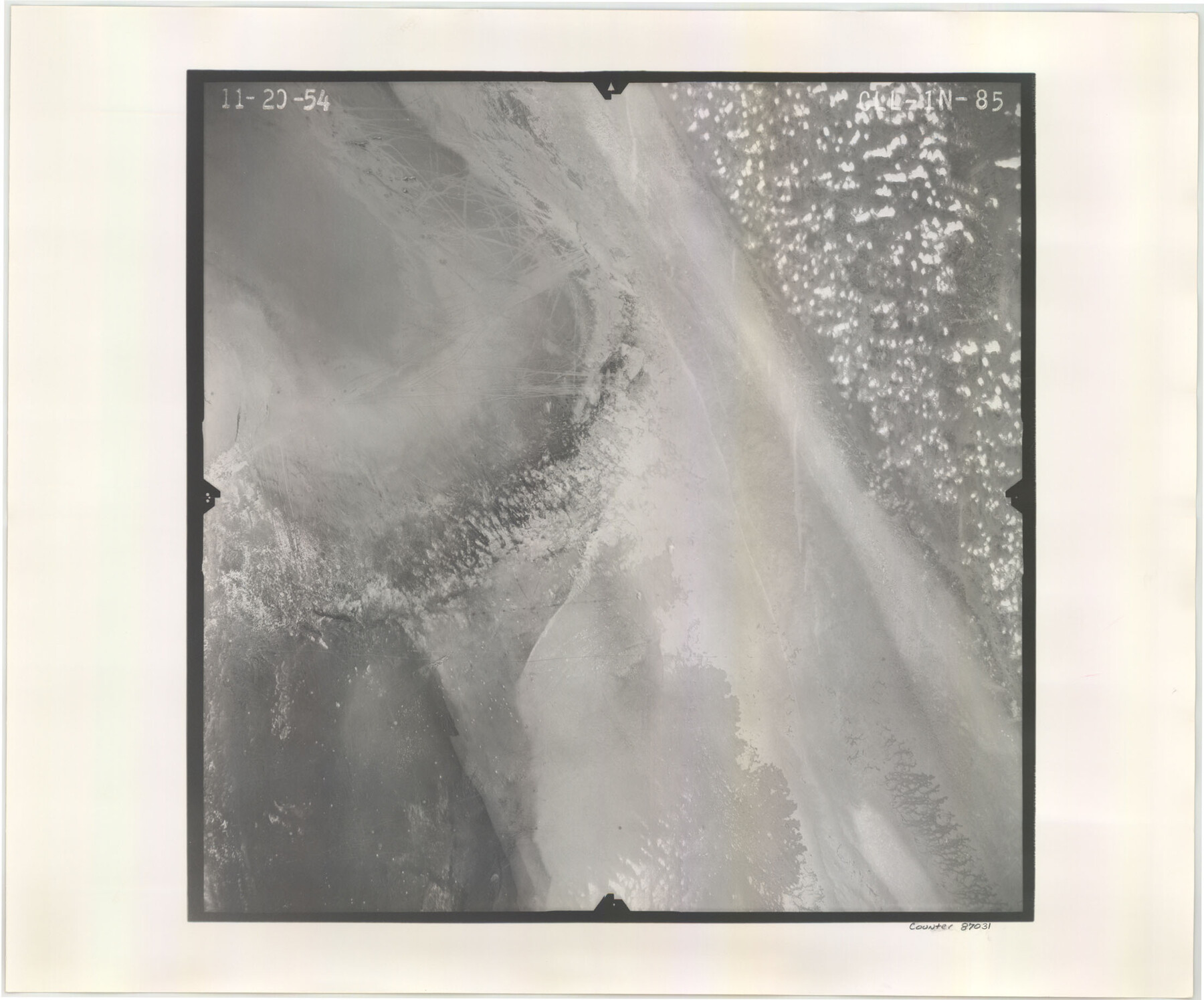
Flight Mission No. CLL-1N, Frame 85, Willacy County
CLL-1N-85
-
Map/Doc
87031
-
Collection
General Map Collection
-
Object Dates
1954/11/20 (Creation Date)
-
People and Organizations
U. S. Department of Agriculture (Publisher)
-
Counties
Willacy
-
Subjects
Aerial Photograph
-
Height x Width
18.4 x 22.1 inches
46.7 x 56.1 cm
-
Comments
Flown by Puckett Aerial Surveys, Inc. of Jackson, Mississippi.
Part of: General Map Collection
Throckmorton County Boundary File 1

Print $12.00
- Digital $50.00
Throckmorton County Boundary File 1
Size 8.8 x 7.8 inches
Map/Doc 59258
Baylor County Boundary File 6

Print $82.00
- Digital $50.00
Baylor County Boundary File 6
Size 9.5 x 65.3 inches
Map/Doc 50400

Map from the Sabine River to the Rio Grande as subdivided for mineral development

Print $20.00
- Digital $50.00
Map from the Sabine River to the Rio Grande as subdivided for mineral development
Size 30.6 x 44.8 inches
Map/Doc 65801
Right of Way & Track Map, St. Louis, Brownsville & Mexico Ry. operated by St. Louis, Brownsville & Mexico Ry. Co.

Print $40.00
- Digital $50.00
Right of Way & Track Map, St. Louis, Brownsville & Mexico Ry. operated by St. Louis, Brownsville & Mexico Ry. Co.
1919
Size 25.7 x 57.6 inches
Map/Doc 64619
Galveston County Rolled Sketch 30

Print $20.00
- Digital $50.00
Galveston County Rolled Sketch 30
1979
Size 28.0 x 39.8 inches
Map/Doc 5964

San Jacinto River and Tributaries, Texas - Survey of 1939

Print $20.00
- Digital $50.00
San Jacinto River and Tributaries, Texas - Survey of 1939
1939
Size 27.7 x 40.4 inches
Map/Doc 60306
Webb County Rolled Sketch 58

Print $40.00
- Digital $50.00
Webb County Rolled Sketch 58
1946
Size 36.7 x 53.4 inches
Map/Doc 10127
Webb County Working Sketch 8

Print $20.00
- Digital $50.00
Webb County Working Sketch 8
1911
Size 43.1 x 39.9 inches
Map/Doc 72373
Houston County Sketch File 27

Print $20.00
- Digital $50.00
Houston County Sketch File 27
Size 18.8 x 21.6 inches
Map/Doc 11788
Flight Mission No. CGI-1N, Frame 168, Cameron County

Print $20.00
- Digital $50.00
Flight Mission No. CGI-1N, Frame 168, Cameron County
1955
Size 18.5 x 22.2 inches
Map/Doc 84503
You may also like
Montague County Working Sketch 10

Print $20.00
- Digital $50.00
Montague County Working Sketch 10
1940
Size 13.1 x 28.2 inches
Map/Doc 71076
Map of the River Sabine from Logan's Ferry to 32nd degree of north latitude

Print $3.00
- Digital $50.00
Map of the River Sabine from Logan's Ferry to 32nd degree of north latitude
1842
Size 8.7 x 11.6 inches
Map/Doc 93768
Houston County Rolled Sketch 6

Print $40.00
- Digital $50.00
Houston County Rolled Sketch 6
1963
Size 48.0 x 34.3 inches
Map/Doc 9182
Throckmorton County Rolled Sketch 3C

Print $20.00
- Digital $50.00
Throckmorton County Rolled Sketch 3C
Size 31.1 x 37.1 inches
Map/Doc 7989
Flight Mission No. BRE-1P, Frame 81, Nueces County

Print $20.00
- Digital $50.00
Flight Mission No. BRE-1P, Frame 81, Nueces County
1956
Size 18.3 x 22.1 inches
Map/Doc 86663
Flight Mission No. DAG-28K, Frame 31, Matagorda County

Print $20.00
- Digital $50.00
Flight Mission No. DAG-28K, Frame 31, Matagorda County
1953
Size 16.1 x 16.2 inches
Map/Doc 86599
Flight Mission No. DQO-13T, Frame 49, Galveston County

Print $20.00
- Digital $50.00
Flight Mission No. DQO-13T, Frame 49, Galveston County
1958
Size 18.5 x 18.4 inches
Map/Doc 85214
Lamb County Rolled Sketch 2

Print $20.00
- Digital $50.00
Lamb County Rolled Sketch 2
1917
Size 37.9 x 43.4 inches
Map/Doc 9412
Galveston County NRC Article 33.136 Sketch 36

Print $28.00
- Digital $50.00
Galveston County NRC Article 33.136 Sketch 36
2005
Size 24.5 x 36.6 inches
Map/Doc 83409
Webb County Sketch File 46-1

Print $20.00
- Digital $50.00
Webb County Sketch File 46-1
1939
Size 24.9 x 15.3 inches
Map/Doc 12645
Map of Presidio County

Print $40.00
- Digital $50.00
Map of Presidio County
1895
Size 53.0 x 38.6 inches
Map/Doc 3968
Henderson County Working Sketch 18

Print $20.00
- Digital $50.00
Henderson County Working Sketch 18
1941
Size 23.8 x 23.4 inches
Map/Doc 66151