![89630, [Capitol Leagues along Bailey-Lamb County Line], Twichell Survey Records](https://historictexasmaps.com/wmedia_w1800h1800/maps/89630-1.tif.jpg)
[Capitol Leagues along Bailey-Lamb County Line]
140-66
-
Map/Doc
89630
-
Collection
Twichell Survey Records
-
Counties
Lamb Bailey
-
Height x Width
12.6 x 49.5 inches
32.0 x 125.7 cm
Part of: Twichell Survey Records
Amherst Independent School District Situated in Lamb County, Texas

Print $20.00
- Digital $50.00
Amherst Independent School District Situated in Lamb County, Texas
Size 25.0 x 18.9 inches
Map/Doc 92203

Hartley County

Print $20.00
- Digital $50.00
Hartley County
1882
Size 30.2 x 19.3 inches
Map/Doc 90708
[Plat of Survey 1, Block B]
![91448, [Plat of Survey 1, Block B], Twichell Survey Records](https://historictexasmaps.com/wmedia_w700/maps/91448-1.tif.jpg)
Print $3.00
- Digital $50.00
[Plat of Survey 1, Block B]
1907
Size 11.7 x 12.6 inches
Map/Doc 91448
Garza County Plat

Print $20.00
- Digital $50.00
Garza County Plat
1948
Size 21.1 x 17.7 inches
Map/Doc 92703
[John H. Robinson, John H. Gibson, and vicinity]
![91043, [John H. Robinson, John H. Gibson, and vicinity], Twichell Survey Records](https://historictexasmaps.com/wmedia_w700/maps/91043-1.tif.jpg)
Print $20.00
- Digital $50.00
[John H. Robinson, John H. Gibson, and vicinity]
Size 19.9 x 29.5 inches
Map/Doc 91043
Abernathy Quadrangle

Print $20.00
- Digital $50.00
Abernathy Quadrangle
Size 17.6 x 21.4 inches
Map/Doc 92813
The Rand-McNally New Commercial Atlas Map of Texas

Print $20.00
- Digital $50.00
The Rand-McNally New Commercial Atlas Map of Texas
1913
Size 40.5 x 28.7 inches
Map/Doc 92141
[Sketch of part of county with G.H. & S.A. Blk. 3 on North, H. & T.C. Blk. 4 on West, T. & P. Blk. 1 on South, T. & S. Blks. 224 & 301 on East]
![89958, [Sketch of part of county with G.H. & S.A. Blk. 3 on North, H. & T.C. Blk. 4 on West, T. & P. Blk. 1 on South, T. & S. Blks. 224 & 301 on East], Twichell Survey Records](https://historictexasmaps.com/wmedia_w700/maps/89958-1.tif.jpg)
Print $40.00
- Digital $50.00
[Sketch of part of county with G.H. & S.A. Blk. 3 on North, H. & T.C. Blk. 4 on West, T. & P. Blk. 1 on South, T. & S. Blks. 224 & 301 on East]
Size 51.9 x 37.9 inches
Map/Doc 89958
Working Sketch of Surveys in Kent & Scurry Counties Located South of Clairemont, Texas

Print $20.00
- Digital $50.00
Working Sketch of Surveys in Kent & Scurry Counties Located South of Clairemont, Texas
1947
Size 41.2 x 43.4 inches
Map/Doc 89861
[Map of Lubbock showing Sears Addition, Sunset Place, Loma Linda Place, University Place, Webb Addition, Ellwood Place, Del Mar Addition and Del Mar Annex]
![92729, [Map of Lubbock showing Sears Addition, Sunset Place, Loma Linda Place, University Place, Webb Addition, Ellwood Place, Del Mar Addition and Del Mar Annex], Twichell Survey Records](https://historictexasmaps.com/wmedia_w700/maps/92729-1.tif.jpg)
Print $20.00
- Digital $50.00
[Map of Lubbock showing Sears Addition, Sunset Place, Loma Linda Place, University Place, Webb Addition, Ellwood Place, Del Mar Addition and Del Mar Annex]
Size 30.8 x 30.8 inches
Map/Doc 92729
[Blocks W and Z with tie lines]
![90451, [Blocks W and Z with tie lines], Twichell Survey Records](https://historictexasmaps.com/wmedia_w700/maps/90451-1.tif.jpg)
Print $20.00
- Digital $50.00
[Blocks W and Z with tie lines]
1949
Size 14.4 x 14.2 inches
Map/Doc 90451
You may also like
Harrison County Working Sketch 23

Print $20.00
- Digital $50.00
Harrison County Working Sketch 23
1983
Size 43.2 x 32.2 inches
Map/Doc 66043
Harris County Rolled Sketch 82
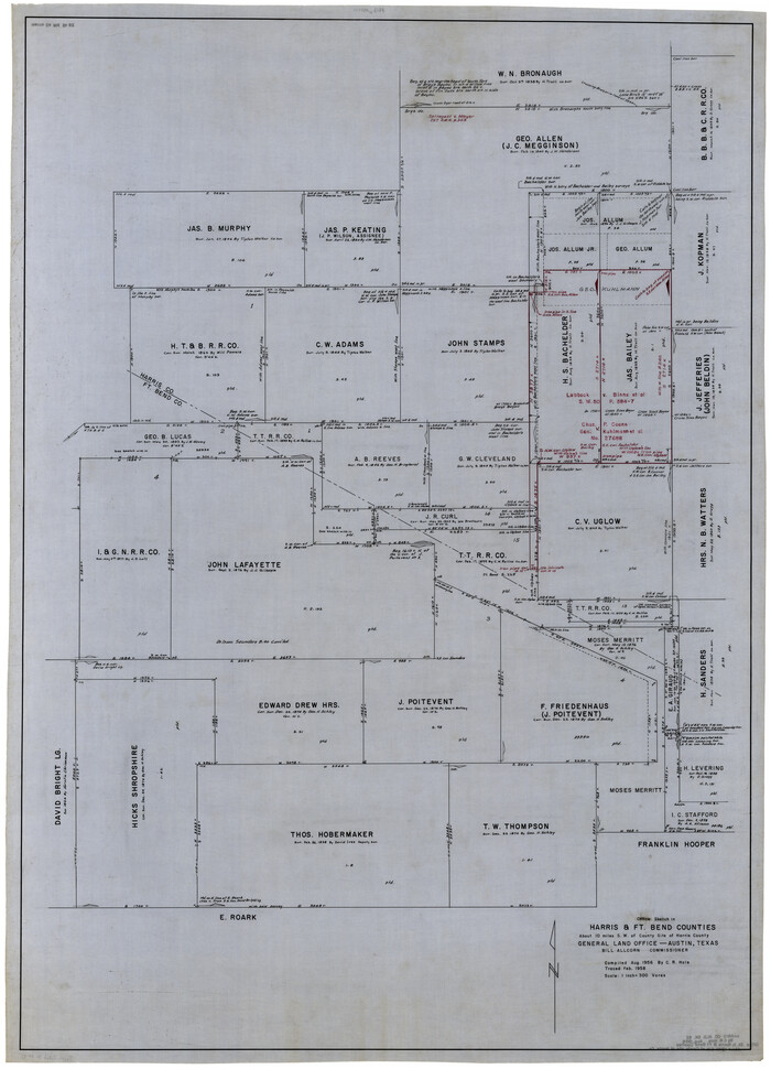
Print $40.00
- Digital $50.00
Harris County Rolled Sketch 82
1956
Size 50.5 x 36.4 inches
Map/Doc 9138
Rain Chart of the United States showing by isohyetal lines the distribution of the mean annual precipitation in rain and melted snow

Print $20.00
Rain Chart of the United States showing by isohyetal lines the distribution of the mean annual precipitation in rain and melted snow
1878
Size 20.8 x 29.4 inches
Map/Doc 95190
Padre Island National Seashore, Texas - Dependent Resurvey

Print $4.00
- Digital $50.00
Padre Island National Seashore, Texas - Dependent Resurvey
2001
Size 18.2 x 24.3 inches
Map/Doc 60552
Gregg County Rolled Sketch 9

Print $20.00
- Digital $50.00
Gregg County Rolled Sketch 9
1933
Size 38.0 x 29.8 inches
Map/Doc 6034
Hardeman County Sketch File 10

Print $4.00
- Digital $50.00
Hardeman County Sketch File 10
1884
Size 13.2 x 8.3 inches
Map/Doc 25006
Burnet County Working Sketch 16

Print $20.00
- Digital $50.00
Burnet County Working Sketch 16
1979
Size 22.8 x 32.5 inches
Map/Doc 67859
Hudspeth County Working Sketch 35

Print $40.00
- Digital $50.00
Hudspeth County Working Sketch 35
Size 37.0 x 55.2 inches
Map/Doc 66320
Montgomery County Working Sketch 1

Print $20.00
- Digital $50.00
Montgomery County Working Sketch 1
1912
Size 20.8 x 17.1 inches
Map/Doc 71107
Zavala County Working Sketch 7

Print $20.00
- Digital $50.00
Zavala County Working Sketch 7
1948
Size 19.3 x 17.3 inches
Map/Doc 62082
Travis County Working Sketch 68

Print $20.00
- Digital $50.00
Travis County Working Sketch 68
2019
Size 23.8 x 36.0 inches
Map/Doc 95687
Sketch in Gaines and Dawson Counties

Print $20.00
- Digital $50.00
Sketch in Gaines and Dawson Counties
1950
Size 16.0 x 31.3 inches
Map/Doc 92586