Sketch in Crockett County [showing University Land Blocks 46-51]
53-11
-
Map/Doc
90312
-
Collection
Twichell Survey Records
-
Object Dates
1915 (Creation Date)
-
People and Organizations
General Land Office (Publisher)
-
Counties
Crockett
-
Subjects
University Land
-
Height x Width
10.6 x 20.1 inches
26.9 x 51.1 cm
Part of: Twichell Survey Records
[Area along West County Line]
![90832, [Area along West County Line], Twichell Survey Records](https://historictexasmaps.com/wmedia_w700/maps/90832-2.tif.jpg)
![90832, [Area along West County Line], Twichell Survey Records](https://historictexasmaps.com/wmedia_w700/maps/90832-2.tif.jpg)
Print $2.00
- Digital $50.00
[Area along West County Line]
Size 6.0 x 9.6 inches
Map/Doc 90832
Sketch Showing Railroad through South Seagraves
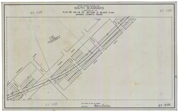

Print $20.00
- Digital $50.00
Sketch Showing Railroad through South Seagraves
1945
Size 29.1 x 18.4 inches
Map/Doc 92686
Arizona Chemical Co. O'Donnell Plant


Print $20.00
- Digital $50.00
Arizona Chemical Co. O'Donnell Plant
Size 30.2 x 33.2 inches
Map/Doc 92947
[West half of county, south of John H. Stephens Block S2]
![92976, [West half of county, south of John H. Stephens Block S2], Twichell Survey Records](https://historictexasmaps.com/wmedia_w700/maps/92976-1.tif.jpg)
![92976, [West half of county, south of John H. Stephens Block S2], Twichell Survey Records](https://historictexasmaps.com/wmedia_w700/maps/92976-1.tif.jpg)
Print $2.00
- Digital $50.00
[West half of county, south of John H. Stephens Block S2]
1912
Size 8.6 x 5.9 inches
Map/Doc 92976
Amended Map of Wildorado Situated in Oldham County, Texas on Sections 14 & 15 Block Z3
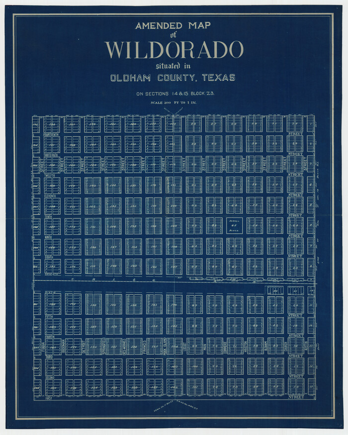

Print $20.00
- Digital $50.00
Amended Map of Wildorado Situated in Oldham County, Texas on Sections 14 & 15 Block Z3
Size 14.9 x 18.4 inches
Map/Doc 92095
[Block J and vicinity]
![91239, [Block J and vicinity], Twichell Survey Records](https://historictexasmaps.com/wmedia_w700/maps/91239-1.tif.jpg)
![91239, [Block J and vicinity], Twichell Survey Records](https://historictexasmaps.com/wmedia_w700/maps/91239-1.tif.jpg)
Print $20.00
- Digital $50.00
[Block J and vicinity]
Size 19.8 x 30.5 inches
Map/Doc 91239
[Leagues 445, 465-468, Block B, Gregg County School Land Leagues 1 and 2]
![90532, [Leagues 445, 465-468, Block B, Gregg County School Land Leagues 1 and 2], Twichell Survey Records](https://historictexasmaps.com/wmedia_w700/maps/90532-1.tif.jpg)
![90532, [Leagues 445, 465-468, Block B, Gregg County School Land Leagues 1 and 2], Twichell Survey Records](https://historictexasmaps.com/wmedia_w700/maps/90532-1.tif.jpg)
Print $2.00
- Digital $50.00
[Leagues 445, 465-468, Block B, Gregg County School Land Leagues 1 and 2]
1902
Size 9.0 x 9.9 inches
Map/Doc 90532
[Public School Land Leagues]
![90445, [Public School Land Leagues], Twichell Survey Records](https://historictexasmaps.com/wmedia_w700/maps/90445-1.tif.jpg)
![90445, [Public School Land Leagues], Twichell Survey Records](https://historictexasmaps.com/wmedia_w700/maps/90445-1.tif.jpg)
Print $3.00
- Digital $50.00
[Public School Land Leagues]
Size 11.8 x 15.8 inches
Map/Doc 90445
Southeast Corner of Gray County
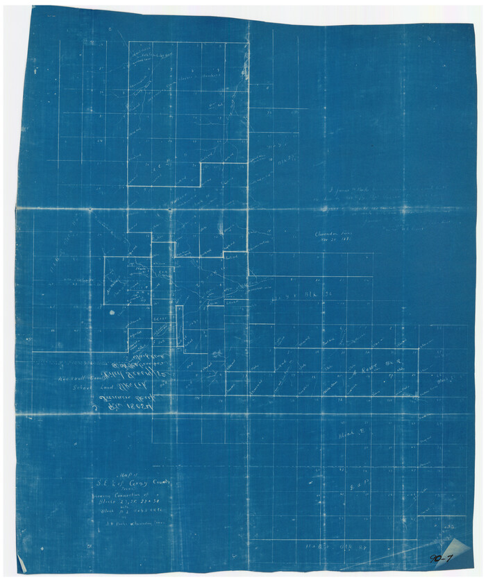

Print $20.00
- Digital $50.00
Southeast Corner of Gray County
1882
Size 18.8 x 22.6 inches
Map/Doc 90757
[H. & G. N. Block 1]
![90942, [H. & G. N. Block 1], Twichell Survey Records](https://historictexasmaps.com/wmedia_w700/maps/90942-1.tif.jpg)
![90942, [H. & G. N. Block 1], Twichell Survey Records](https://historictexasmaps.com/wmedia_w700/maps/90942-1.tif.jpg)
Print $20.00
- Digital $50.00
[H. & G. N. Block 1]
1873
Size 14.3 x 17.6 inches
Map/Doc 90942
[Nathaniel H. Cochran Survey and Vicinity]
![91498, [Nathaniel H. Cochran Survey and Vicinity], Twichell Survey Records](https://historictexasmaps.com/wmedia_w700/maps/91498-1.tif.jpg)
![91498, [Nathaniel H. Cochran Survey and Vicinity], Twichell Survey Records](https://historictexasmaps.com/wmedia_w700/maps/91498-1.tif.jpg)
Print $20.00
- Digital $50.00
[Nathaniel H. Cochran Survey and Vicinity]
Size 25.4 x 18.7 inches
Map/Doc 91498
You may also like
McMullen County Sketch File 30


Print $20.00
- Digital $50.00
McMullen County Sketch File 30
1884
Size 38.5 x 21.1 inches
Map/Doc 10540
Dimmit County Sketch File 20
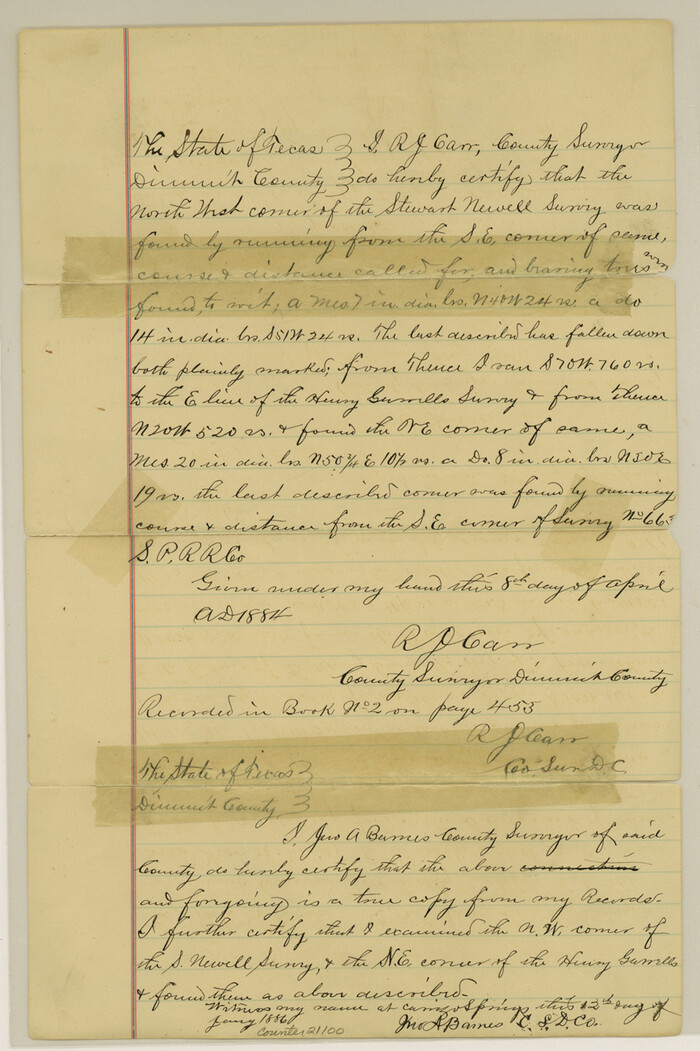

Print $6.00
- Digital $50.00
Dimmit County Sketch File 20
1884
Size 13.0 x 8.7 inches
Map/Doc 21100
Atascosa County Sketch File 37
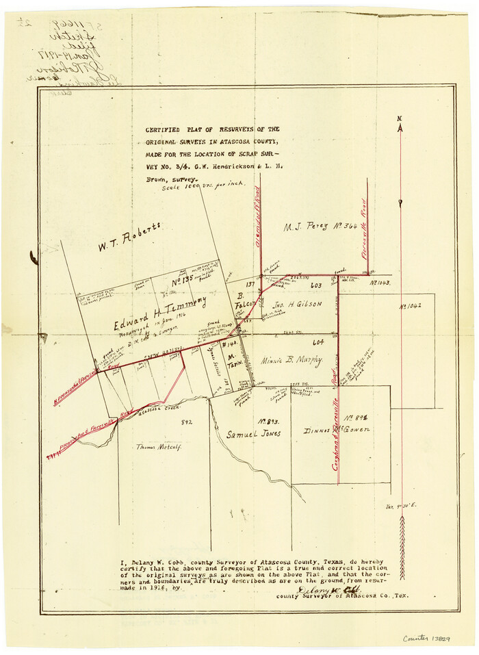

Print $40.00
- Digital $50.00
Atascosa County Sketch File 37
Size 17.6 x 12.9 inches
Map/Doc 13829
Liberty County Sketch File 48
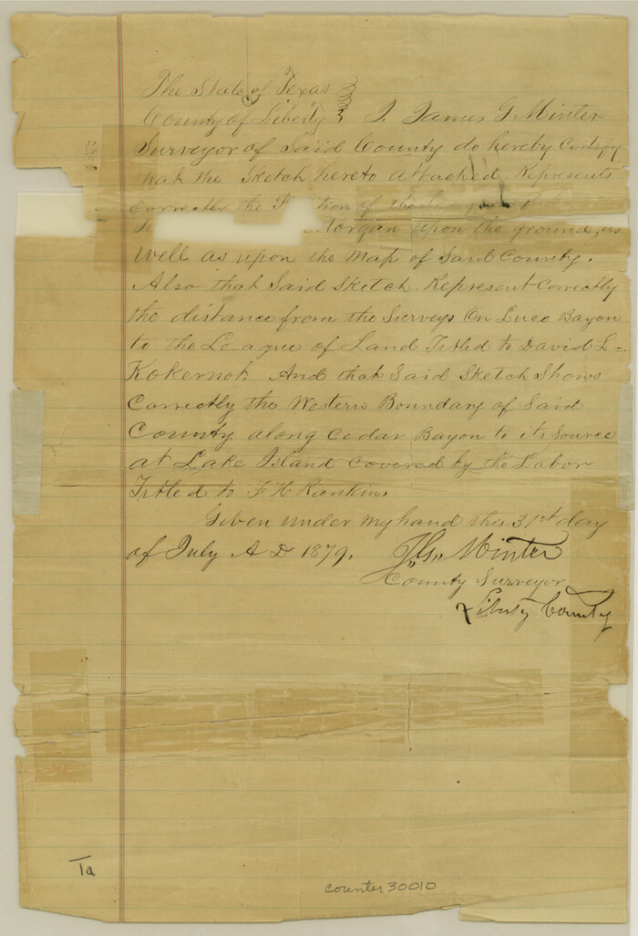

Print $6.00
- Digital $50.00
Liberty County Sketch File 48
1879
Size 12.2 x 8.3 inches
Map/Doc 30010
[H. & T. C. Blocks 3 and 4; G. H. & S. A Blocks 2, 4, and 12; D. & P. Block 3]
![91027, [H. & T. C. Blocks 3 and 4; G. H. & S. A Blocks 2, 4, and 12; D. & P. Block 3], Twichell Survey Records](https://historictexasmaps.com/wmedia_w700/maps/91027-1.tif.jpg)
![91027, [H. & T. C. Blocks 3 and 4; G. H. & S. A Blocks 2, 4, and 12; D. & P. Block 3], Twichell Survey Records](https://historictexasmaps.com/wmedia_w700/maps/91027-1.tif.jpg)
Print $20.00
- Digital $50.00
[H. & T. C. Blocks 3 and 4; G. H. & S. A Blocks 2, 4, and 12; D. & P. Block 3]
Size 44.6 x 36.3 inches
Map/Doc 91027
Crosby County Working Sketch 11


Print $20.00
- Digital $50.00
Crosby County Working Sketch 11
1947
Size 23.7 x 22.8 inches
Map/Doc 68445
Kimble County Working Sketch 63
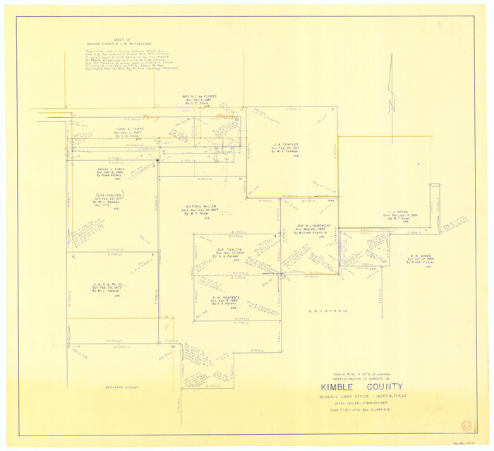

Print $20.00
- Digital $50.00
Kimble County Working Sketch 63
1964
Size 31.2 x 34.2 inches
Map/Doc 70131
Texas Official Highway Travel Map
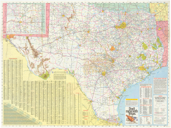

Digital $50.00
Texas Official Highway Travel Map
Size 27.3 x 36.3 inches
Map/Doc 94306
Val Verde County Working Sketch 60


Print $20.00
- Digital $50.00
Val Verde County Working Sketch 60
1958
Size 32.1 x 32.4 inches
Map/Doc 72195
Eastland County Working Sketch 65
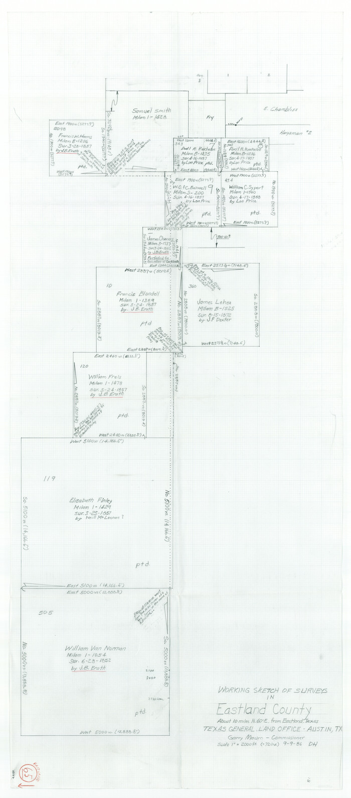

Print $20.00
- Digital $50.00
Eastland County Working Sketch 65
1986
Size 37.4 x 16.5 inches
Map/Doc 88892
General Highway Map. Detail of Cities and Towns in Cameron County, Texas [San Benito, Harlingen, Brownsville and vicinity]
![79399, General Highway Map. Detail of Cities and Towns in Cameron County, Texas [San Benito, Harlingen, Brownsville and vicinity], Texas State Library and Archives](https://historictexasmaps.com/wmedia_w700/maps/79399.tif.jpg)
![79399, General Highway Map. Detail of Cities and Towns in Cameron County, Texas [San Benito, Harlingen, Brownsville and vicinity], Texas State Library and Archives](https://historictexasmaps.com/wmedia_w700/maps/79399.tif.jpg)
Print $20.00
General Highway Map. Detail of Cities and Towns in Cameron County, Texas [San Benito, Harlingen, Brownsville and vicinity]
1961
Size 18.0 x 24.7 inches
Map/Doc 79399
Flight Mission No. DQN-3K, Frame 66, Calhoun County


Print $20.00
- Digital $50.00
Flight Mission No. DQN-3K, Frame 66, Calhoun County
1953
Size 18.7 x 22.5 inches
Map/Doc 84357
![90312, Sketch in Crockett County [showing University Land Blocks 46-51], Twichell Survey Records](https://historictexasmaps.com/wmedia_w1800h1800/maps/90312-1.tif.jpg)
![91359, [League 321], Twichell Survey Records](https://historictexasmaps.com/wmedia_w700/maps/91359-1.tif.jpg)