[Sketch of Block A1 in Hartley County]
103-37
-
Map/Doc
90762
-
Collection
Twichell Survey Records
-
Object Dates
10/2/1902 (Creation Date)
-
People and Organizations
E.F. Batte (Surveyor/Engineer)
-
Counties
Hartley
-
Height x Width
11.3 x 21.4 inches
28.7 x 54.4 cm
Part of: Twichell Survey Records
[Sections 1, 2, 15, and 16 and vicinity]
![91396, [Sections 1, 2, 15, and 16 and vicinity], Twichell Survey Records](https://historictexasmaps.com/wmedia_w700/maps/91396-1.tif.jpg)
![91396, [Sections 1, 2, 15, and 16 and vicinity], Twichell Survey Records](https://historictexasmaps.com/wmedia_w700/maps/91396-1.tif.jpg)
Print $2.00
- Digital $50.00
[Sections 1, 2, 15, and 16 and vicinity]
Size 8.7 x 4.3 inches
Map/Doc 91396
Sketch of Roll Number for Copy of Original Field Notes Texas & Pacific Railway Reservation


Print $3.00
- Digital $50.00
Sketch of Roll Number for Copy of Original Field Notes Texas & Pacific Railway Reservation
Size 17.4 x 10.0 inches
Map/Doc 92026
Holmes' Addition Located on North Part of SW Quarter Section 10, Block A


Print $20.00
- Digital $50.00
Holmes' Addition Located on North Part of SW Quarter Section 10, Block A
Size 20.7 x 8.5 inches
Map/Doc 92714
R. S. Coon's Blue Creek Ranch, Moore County, Texas


Print $20.00
- Digital $50.00
R. S. Coon's Blue Creek Ranch, Moore County, Texas
Size 15.8 x 15.7 inches
Map/Doc 91487
Soash-White Industrial Properties


Print $20.00
- Digital $50.00
Soash-White Industrial Properties
Size 37.4 x 24.9 inches
Map/Doc 92776
[Capitol Leagues 217-228, 238, and vicinity]
![90693, [Capitol Leagues 217-228, 238, and vicinity], Twichell Survey Records](https://historictexasmaps.com/wmedia_w700/maps/90693-1.tif.jpg)
![90693, [Capitol Leagues 217-228, 238, and vicinity], Twichell Survey Records](https://historictexasmaps.com/wmedia_w700/maps/90693-1.tif.jpg)
Print $20.00
- Digital $50.00
[Capitol Leagues 217-228, 238, and vicinity]
Size 24.7 x 10.6 inches
Map/Doc 90693
Subdivisions of Capitol Leagues 93, 94, 95, 96, 104, 105, 106, 107, 116, 117, 118, 127, 128, 129, 130, 131, 132, 140, 141, 142 and parts of 75, 83, 84, 85, 86, 108, 143, 144, 145


Print $20.00
- Digital $50.00
Subdivisions of Capitol Leagues 93, 94, 95, 96, 104, 105, 106, 107, 116, 117, 118, 127, 128, 129, 130, 131, 132, 140, 141, 142 and parts of 75, 83, 84, 85, 86, 108, 143, 144, 145
1906
Size 16.7 x 26.7 inches
Map/Doc 90650
[T. & P. Block 44, Township 1S]
![90818, [T. & P. Block 44, Township 1S], Twichell Survey Records](https://historictexasmaps.com/wmedia_w700/maps/90818-2.tif.jpg)
![90818, [T. & P. Block 44, Township 1S], Twichell Survey Records](https://historictexasmaps.com/wmedia_w700/maps/90818-2.tif.jpg)
Print $3.00
- Digital $50.00
[T. & P. Block 44, Township 1S]
Size 9.3 x 11.9 inches
Map/Doc 90818
Sketch for Blocks D6, D7, D8 situated in Val Verde County, Texas


Print $40.00
- Digital $50.00
Sketch for Blocks D6, D7, D8 situated in Val Verde County, Texas
1937
Size 100.1 x 40.1 inches
Map/Doc 93164
L. A. Wells Subdivision of Sections 6-11-12-13-18, Block V, Cochran County, Tex.
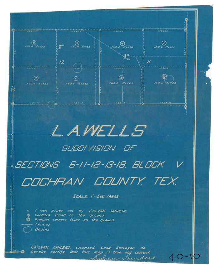

Print $2.00
- Digital $50.00
L. A. Wells Subdivision of Sections 6-11-12-13-18, Block V, Cochran County, Tex.
Size 6.7 x 8.4 inches
Map/Doc 90441
You may also like
Mitchell County Boundary File 66b


Print $15.00
- Digital $50.00
Mitchell County Boundary File 66b
Size 12.7 x 8.3 inches
Map/Doc 57383
Flight Mission No. BRA-8M, Frame 120, Jefferson County
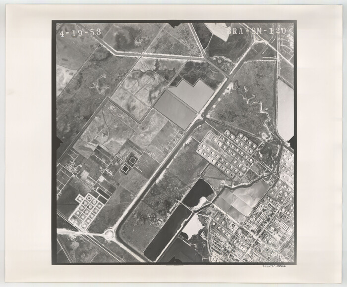

Print $20.00
- Digital $50.00
Flight Mission No. BRA-8M, Frame 120, Jefferson County
1953
Size 18.6 x 22.5 inches
Map/Doc 85616
The Republic County of Colorado. January 1, 1838
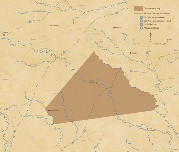

Print $20.00
The Republic County of Colorado. January 1, 1838
2020
Size 18.4 x 21.7 inches
Map/Doc 96120
Starr County Sketch File 40
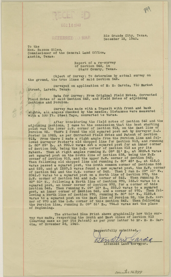

Print $4.00
- Digital $50.00
Starr County Sketch File 40
1940
Size 14.2 x 8.8 inches
Map/Doc 36989
Fisher County Sketch File 4
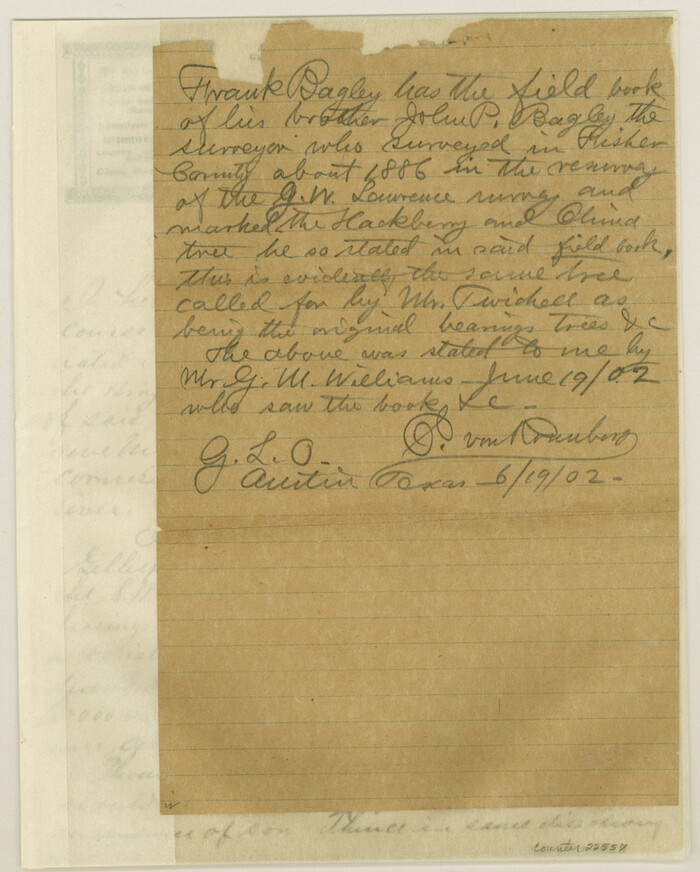

Print $33.00
- Digital $50.00
Fisher County Sketch File 4
Size 11.4 x 9.2 inches
Map/Doc 22557
Webb County Working Sketch 20
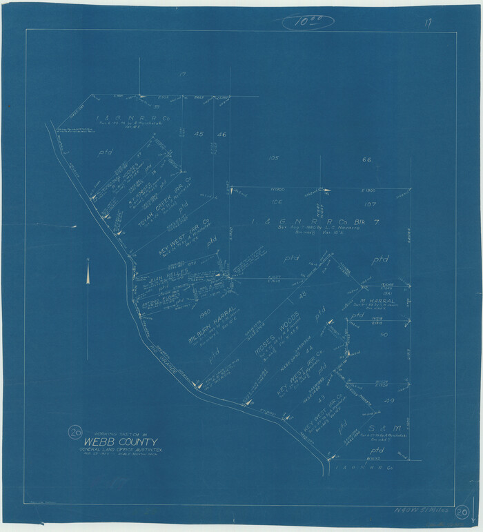

Print $20.00
- Digital $50.00
Webb County Working Sketch 20
1925
Size 22.3 x 20.2 inches
Map/Doc 72385
Eastland County Sketch File 5
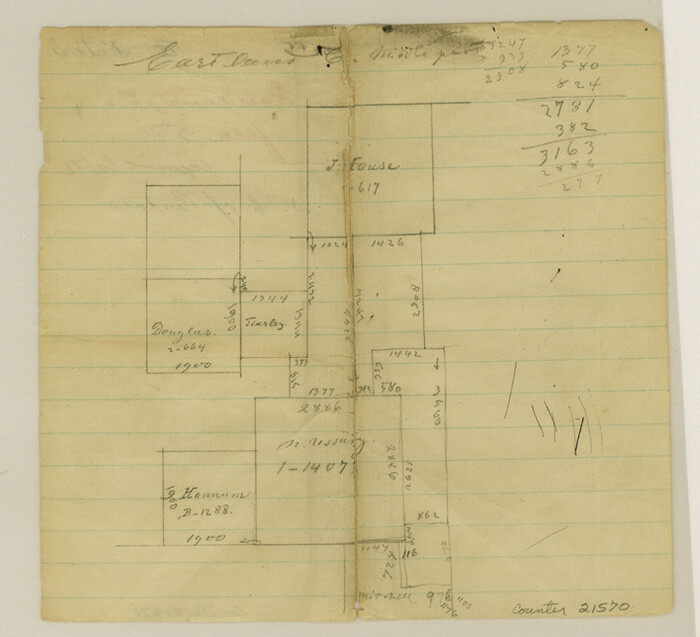

Print $4.00
- Digital $50.00
Eastland County Sketch File 5
Size 6.4 x 7.1 inches
Map/Doc 21570
Hutchinson County Sketch File 47
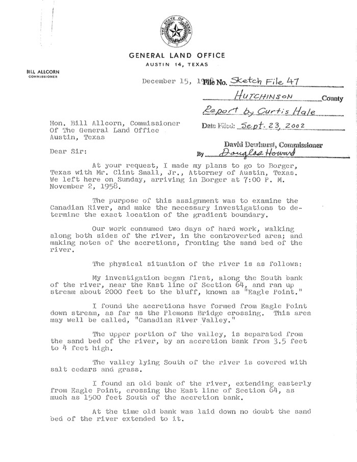

Print $28.00
- Digital $50.00
Hutchinson County Sketch File 47
1958
Size 8.3 x 10.1 inches
Map/Doc 27390
Presidio County Rolled Sketch 130
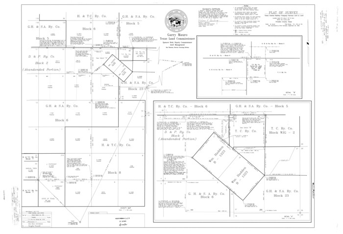

Print $40.00
- Digital $50.00
Presidio County Rolled Sketch 130
1993
Size 33.6 x 49.1 inches
Map/Doc 9800
Sabine River, Toll Bridge Sheet


Print $40.00
- Digital $50.00
Sabine River, Toll Bridge Sheet
1933
Size 27.8 x 51.9 inches
Map/Doc 65136
Goliad County Sketch File 41
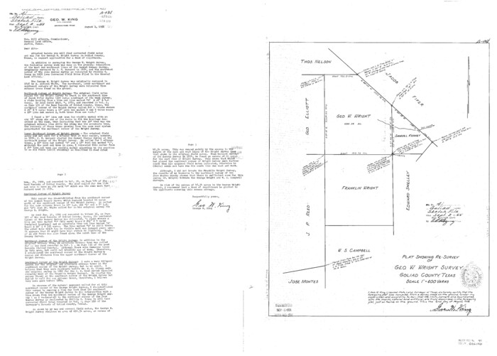

Print $20.00
- Digital $50.00
Goliad County Sketch File 41
1958
Size 25.2 x 35.3 inches
Map/Doc 11573
![90762, [Sketch of Block A1 in Hartley County], Twichell Survey Records](https://historictexasmaps.com/wmedia_w1800h1800/maps/90762-1.tif.jpg)
