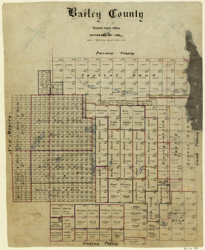
[Capitol Leagues 294, 295, 301, 302, 303, and 304]
180-80
-
Map/Doc
91422
-
Collection
Twichell Survey Records
-
Object Dates
5/7/1883 (Creation Date)
-
People and Organizations
W.S. Mabry (Surveyor/Engineer)
-
Counties
Oldham
-
Height x Width
16.1 x 12.5 inches
40.9 x 31.8 cm
Part of: Twichell Survey Records
[Scurry and Zavala County School Lands, and Blocks X, D, K, D-14, D-11, and E]
![91201, [Scurry and Zavala County School Lands, and Blocks X, D, K, D-14, D-11, and E], Twichell Survey Records](https://historictexasmaps.com/wmedia_w700/maps/91201-1.tif.jpg)
![91201, [Scurry and Zavala County School Lands, and Blocks X, D, K, D-14, D-11, and E], Twichell Survey Records](https://historictexasmaps.com/wmedia_w700/maps/91201-1.tif.jpg)
Print $20.00
- Digital $50.00
[Scurry and Zavala County School Lands, and Blocks X, D, K, D-14, D-11, and E]
Size 43.7 x 37.2 inches
Map/Doc 91201
[Township 4 North, Block 33]
![91216, [Township 4 North, Block 33], Twichell Survey Records](https://historictexasmaps.com/wmedia_w700/maps/91216-1.tif.jpg)
![91216, [Township 4 North, Block 33], Twichell Survey Records](https://historictexasmaps.com/wmedia_w700/maps/91216-1.tif.jpg)
Print $3.00
- Digital $50.00
[Township 4 North, Block 33]
Size 11.3 x 12.0 inches
Map/Doc 91216
[H. & T.C. Blocks 46, 47]
![89927, [H. & T.C. Blocks 46, 47], Twichell Survey Records](https://historictexasmaps.com/wmedia_w700/maps/89927-1.tif.jpg)
![89927, [H. & T.C. Blocks 46, 47], Twichell Survey Records](https://historictexasmaps.com/wmedia_w700/maps/89927-1.tif.jpg)
Print $20.00
- Digital $50.00
[H. & T.C. Blocks 46, 47]
Size 37.3 x 46.6 inches
Map/Doc 89927
[Blks A, B and C, and Irion, Floyd, Sutton and Lubbock County School Land Leagues]
![90202, [Blks A, B and C, and Irion, Floyd, Sutton and Lubbock County School Land Leagues], Twichell Survey Records](https://historictexasmaps.com/wmedia_w700/maps/90202-1.tif.jpg)
![90202, [Blks A, B and C, and Irion, Floyd, Sutton and Lubbock County School Land Leagues], Twichell Survey Records](https://historictexasmaps.com/wmedia_w700/maps/90202-1.tif.jpg)
Print $20.00
- Digital $50.00
[Blks A, B and C, and Irion, Floyd, Sutton and Lubbock County School Land Leagues]
Size 15.6 x 19.2 inches
Map/Doc 90202
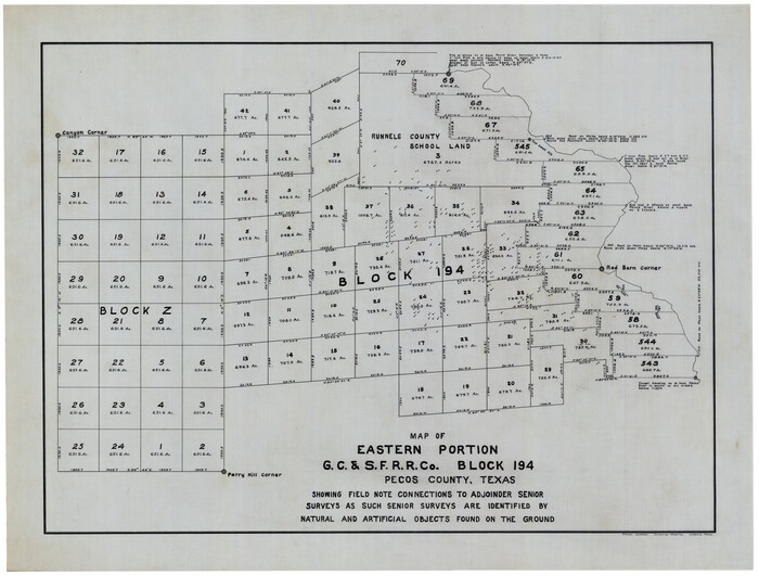
Map of Eastern Portion G.C. & S.F.R.R.Co., Block 194

Print $20.00
- Digital $50.00
Map of Eastern Portion G.C. & S.F.R.R.Co., Block 194
Size 35.6 x 26.8 inches
Map/Doc 92421
[Northeast Portion of Moore County]
![91517, [Northeast Portion of Moore County], Twichell Survey Records](https://historictexasmaps.com/wmedia_w700/maps/91517-1.tif.jpg)
![91517, [Northeast Portion of Moore County], Twichell Survey Records](https://historictexasmaps.com/wmedia_w700/maps/91517-1.tif.jpg)
Print $20.00
- Digital $50.00
[Northeast Portion of Moore County]
Size 31.7 x 8.5 inches
Map/Doc 91517
Map of Portion of Pecos County as Surveyed by F. F. Friend


Print $20.00
- Digital $50.00
Map of Portion of Pecos County as Surveyed by F. F. Friend
1926
Size 18.8 x 15.5 inches
Map/Doc 91561
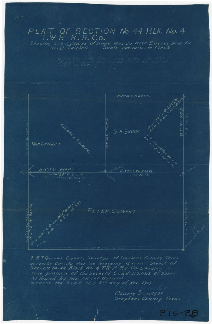
Plat of Section No. 44, Blk. No. 4, T. & P. RR. Co. showing subdivisions of same with 3.1 acre survey made for W. D. Twichell

Print $2.00
- Digital $50.00
Plat of Section No. 44, Blk. No. 4, T. & P. RR. Co. showing subdivisions of same with 3.1 acre survey made for W. D. Twichell
1919
Size 8.9 x 13.3 inches
Map/Doc 91908
C. C. S. D. & R. G. N. G. RR. Company, Block C2]
![90780, C. C. S. D. & R. G. N. G. RR. Company, Block C2], Twichell Survey Records](https://historictexasmaps.com/wmedia_w700/maps/90780-1.tif.jpg)
![90780, C. C. S. D. & R. G. N. G. RR. Company, Block C2], Twichell Survey Records](https://historictexasmaps.com/wmedia_w700/maps/90780-1.tif.jpg)
Print $20.00
- Digital $50.00
C. C. S. D. & R. G. N. G. RR. Company, Block C2]
Size 14.0 x 21.2 inches
Map/Doc 90780
Map of Public Roads in Terry County, Texas

Print $2.00
- Digital $50.00
Map of Public Roads in Terry County, Texas
1951
Size 9.1 x 11.6 inches
Map/Doc 91937
[Archer County School Land, Sections 1,2,3,4, Blocks GG, I, 29, A2, C3]
![92914, [Archer County School Land, Sections 1,2,3,4, Blocks GG, I, 29, A2, C3], Twichell Survey Records](https://historictexasmaps.com/wmedia_w700/maps/92914-1.tif.jpg)
![92914, [Archer County School Land, Sections 1,2,3,4, Blocks GG, I, 29, A2, C3], Twichell Survey Records](https://historictexasmaps.com/wmedia_w700/maps/92914-1.tif.jpg)
Print $20.00
- Digital $50.00
[Archer County School Land, Sections 1,2,3,4, Blocks GG, I, 29, A2, C3]
Size 25.9 x 18.7 inches
Map/Doc 92914
[Section 2, Block S]
![92860, [Section 2, Block S], Twichell Survey Records](https://historictexasmaps.com/wmedia_w700/maps/92860-1.tif.jpg)
![92860, [Section 2, Block S], Twichell Survey Records](https://historictexasmaps.com/wmedia_w700/maps/92860-1.tif.jpg)
Print $20.00
- Digital $50.00
[Section 2, Block S]
1958
Size 22.2 x 6.8 inches
Map/Doc 92860
You may also like
County and Railroad Map of Texas


Print $20.00
- Digital $50.00
County and Railroad Map of Texas
1876
Size 17.0 x 16.0 inches
Map/Doc 93623
General Highway Map, Zapata County, Texas


Print $20.00
General Highway Map, Zapata County, Texas
1940
Size 18.4 x 24.8 inches
Map/Doc 79287
Galveston County Sketch File 15


Print $4.00
- Digital $50.00
Galveston County Sketch File 15
Size 6.7 x 3.7 inches
Map/Doc 23382
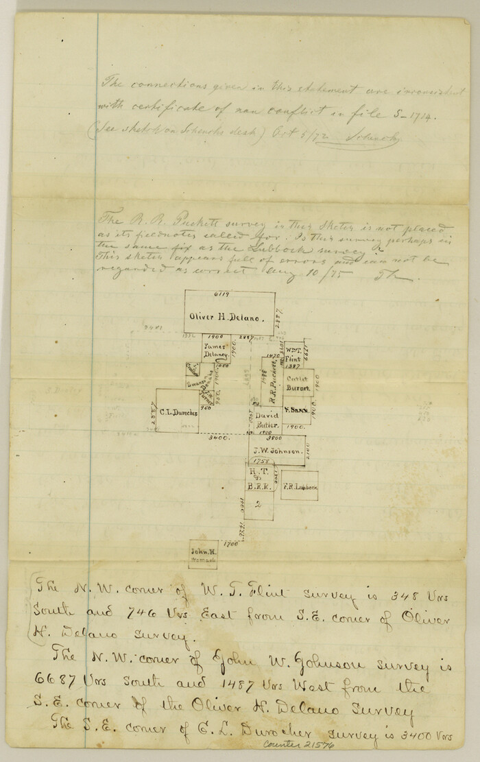
Eastland County Sketch File 8

Print $8.00
- Digital $50.00
Eastland County Sketch File 8
1872
Size 12.9 x 8.1 inches
Map/Doc 21576
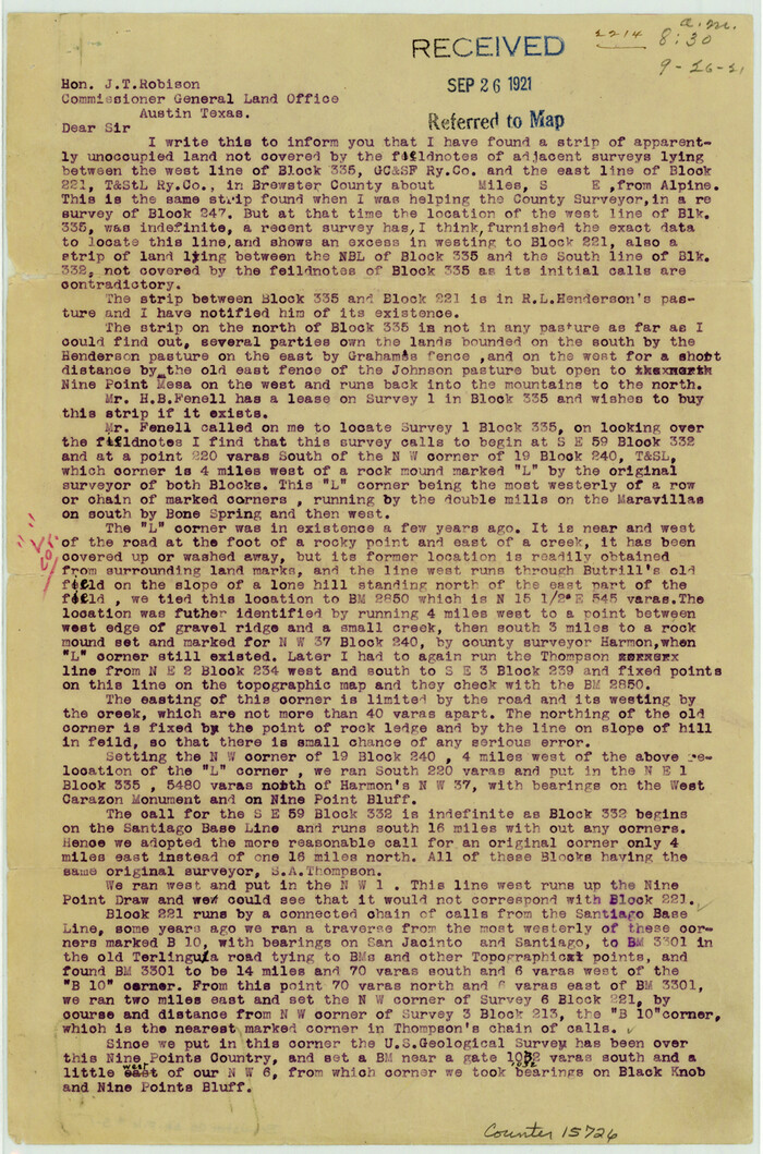
Brewster County Sketch File S-1

Print $10.00
- Digital $50.00
Brewster County Sketch File S-1
1921
Size 13.3 x 8.8 inches
Map/Doc 15726
La Salle County Sketch File 1


Print $5.00
- Digital $50.00
La Salle County Sketch File 1
1850
Size 14.2 x 9.2 inches
Map/Doc 29443
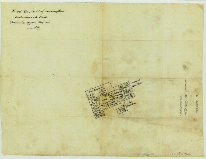
Lee County Sketch File 5

Print $40.00
- Digital $50.00
Lee County Sketch File 5
Size 12.2 x 15.8 inches
Map/Doc 29686
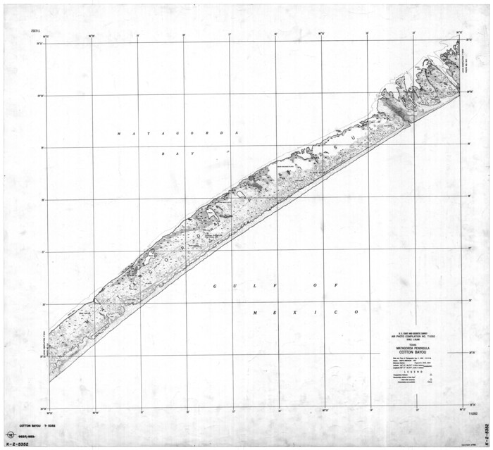
Texas, Matagorda Peninsula, Cotton Bayou

Print $6.00
- Digital $50.00
Texas, Matagorda Peninsula, Cotton Bayou
Size 31.5 x 34.6 inches
Map/Doc 69986
San Augustine County Working Sketch 13


Print $20.00
- Digital $50.00
San Augustine County Working Sketch 13
1952
Size 34.0 x 27.6 inches
Map/Doc 63701
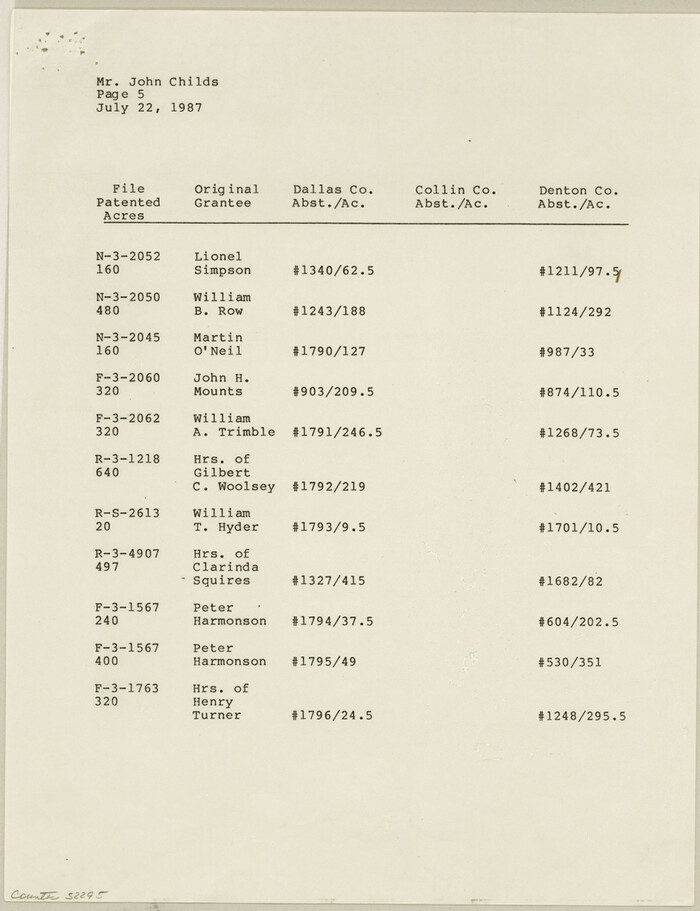
Dallas County Boundary File 7 and 7a and 7b

Print $126.00
- Digital $50.00
Dallas County Boundary File 7 and 7a and 7b
Size 11.2 x 8.6 inches
Map/Doc 52295
![91422, [Capitol Leagues 294, 295, 301, 302, 303, and 304], Twichell Survey Records](https://historictexasmaps.com/wmedia_w1800h1800/maps/91422-1.tif.jpg)
