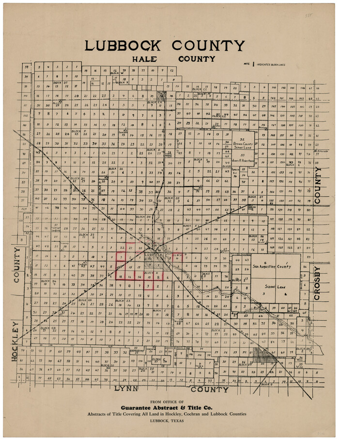
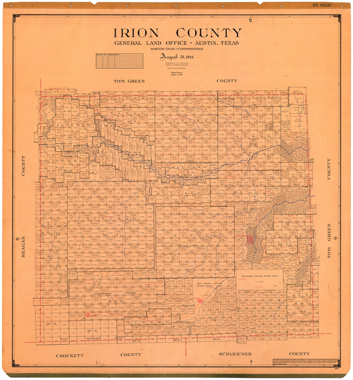
[League 239, Portion of Block B5]
180-46
-
Map/Doc
91443
-
Collection
Twichell Survey Records
-
Counties
Oldham
-
Height x Width
18.4 x 11.7 inches
46.7 x 29.7 cm
Part of: Twichell Survey Records
[J. E. and J. W. Rhea's Ranch situated in Parmer Co., Texas]
![91652, [J. E. and J. W. Rhea's Ranch situated in Parmer Co., Texas], Twichell Survey Records](https://historictexasmaps.com/wmedia_w700/maps/91652-1.tif.jpg)
![91652, [J. E. and J. W. Rhea's Ranch situated in Parmer Co., Texas], Twichell Survey Records](https://historictexasmaps.com/wmedia_w700/maps/91652-1.tif.jpg)
Print $20.00
- Digital $50.00
[J. E. and J. W. Rhea's Ranch situated in Parmer Co., Texas]
Size 23.2 x 25.8 inches
Map/Doc 91652
Ownership Map SW 1/4 Lubbock County
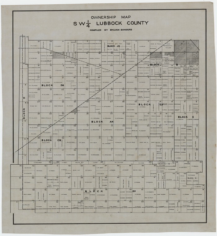

Print $20.00
- Digital $50.00
Ownership Map SW 1/4 Lubbock County
Size 33.7 x 36.8 inches
Map/Doc 89697
[H. & T. C. , Block 47, Sections 26- 38]
![91255, [H. & T. C. , Block 47, Sections 26- 38], Twichell Survey Records](https://historictexasmaps.com/wmedia_w700/maps/91255-1.tif.jpg)
![91255, [H. & T. C. , Block 47, Sections 26- 38], Twichell Survey Records](https://historictexasmaps.com/wmedia_w700/maps/91255-1.tif.jpg)
Print $2.00
- Digital $50.00
[H. & T. C. , Block 47, Sections 26- 38]
Size 14.5 x 9.2 inches
Map/Doc 91255
Plat of Land Purchased by C. W. Post in Hockley County, Texas


Print $20.00
- Digital $50.00
Plat of Land Purchased by C. W. Post in Hockley County, Texas
Size 18.4 x 14.5 inches
Map/Doc 91196
[H. & T. C. Block 47, East Line and Red River RR. Co. Block Z and vicinity]
![92974, [H. & T. C. Block 47, East Line and Red River RR. Co. Block Z and vicinity], Twichell Survey Records](https://historictexasmaps.com/wmedia_w700/maps/92974-1.tif.jpg)
![92974, [H. & T. C. Block 47, East Line and Red River RR. Co. Block Z and vicinity], Twichell Survey Records](https://historictexasmaps.com/wmedia_w700/maps/92974-1.tif.jpg)
Print $20.00
- Digital $50.00
[H. & T. C. Block 47, East Line and Red River RR. Co. Block Z and vicinity]
Size 17.4 x 14.0 inches
Map/Doc 92974
[University Lands Blocks 16, 18, 19 and 20]
![91594, [University Lands Blocks 16, 18, 19 and 20], Twichell Survey Records](https://historictexasmaps.com/wmedia_w700/maps/91594-1.tif.jpg)
![91594, [University Lands Blocks 16, 18, 19 and 20], Twichell Survey Records](https://historictexasmaps.com/wmedia_w700/maps/91594-1.tif.jpg)
Print $20.00
- Digital $50.00
[University Lands Blocks 16, 18, 19 and 20]
Size 13.9 x 16.7 inches
Map/Doc 91594
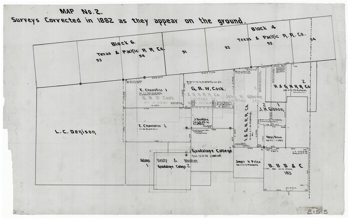
Map No. 2 - Surveys Corrected in 1882 as they appear on the ground

Print $20.00
- Digital $50.00
Map No. 2 - Surveys Corrected in 1882 as they appear on the ground
1882
Size 30.7 x 19.2 inches
Map/Doc 91925
Map of Tascosa, Oldham County, Texas


Print $40.00
- Digital $50.00
Map of Tascosa, Oldham County, Texas
Size 34.8 x 66.8 inches
Map/Doc 89711
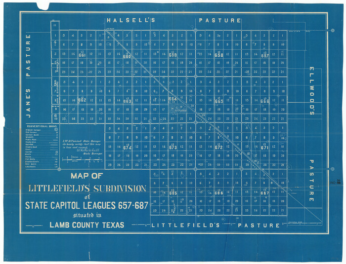
Map of Littlefield's Subdivision of State Capitol Leagues 657- 687

Print $20.00
- Digital $50.00
Map of Littlefield's Subdivision of State Capitol Leagues 657- 687
Size 38.0 x 29.2 inches
Map/Doc 91025
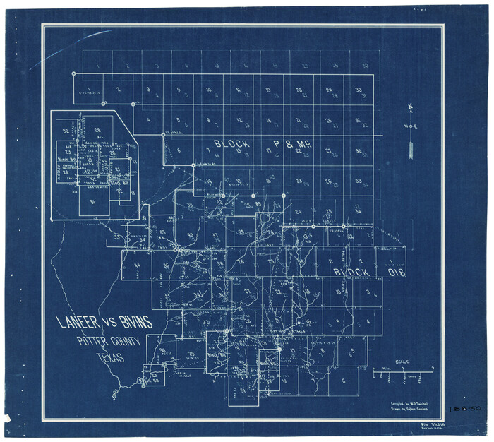
Laneer vs. Bivins, Potter County, Texas

Print $20.00
- Digital $50.00
Laneer vs. Bivins, Potter County, Texas
Size 21.1 x 18.7 inches
Map/Doc 93098
[Block B9 in Southwest Corner of Crosby County]
![90497, [Block B9 in Southwest Corner of Crosby County], Twichell Survey Records](https://historictexasmaps.com/wmedia_w700/maps/90497-1.tif.jpg)
![90497, [Block B9 in Southwest Corner of Crosby County], Twichell Survey Records](https://historictexasmaps.com/wmedia_w700/maps/90497-1.tif.jpg)
Print $20.00
- Digital $50.00
[Block B9 in Southwest Corner of Crosby County]
Size 12.3 x 16.0 inches
Map/Doc 90497
You may also like
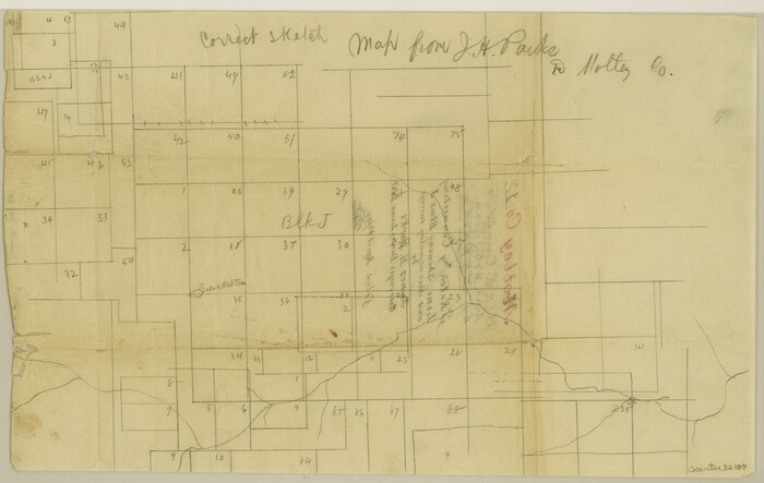
Motley County Sketch File 12 (S)

Print $4.00
- Digital $50.00
Motley County Sketch File 12 (S)
Size 8.4 x 13.2 inches
Map/Doc 32187
Flight Mission No. DQO-2K, Frame 100, Galveston County

Print $20.00
- Digital $50.00
Flight Mission No. DQO-2K, Frame 100, Galveston County
1952
Size 18.7 x 22.4 inches
Map/Doc 85027
Belton and Stillhouse Hollow Reservoirs (Recto)


Belton and Stillhouse Hollow Reservoirs (Recto)
1972
Size 29.1 x 22.6 inches
Map/Doc 94172
Andrews County Rolled Sketch 38
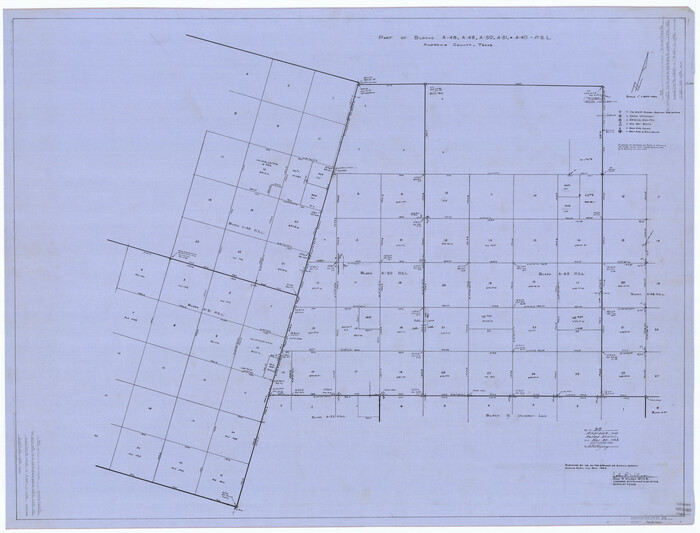

Print $40.00
- Digital $50.00
Andrews County Rolled Sketch 38
1963
Size 38.3 x 50.3 inches
Map/Doc 8400
Stonewall County Boundary File 4b


Print $18.00
- Digital $50.00
Stonewall County Boundary File 4b
Size 9.1 x 8.8 inches
Map/Doc 58993
Flight Mission No. BRA-8M, Frame 135, Jefferson County


Print $20.00
- Digital $50.00
Flight Mission No. BRA-8M, Frame 135, Jefferson County
1953
Size 18.7 x 22.3 inches
Map/Doc 85631
Goliad County Sketch File 10
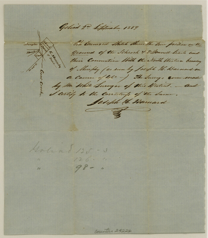

Print $4.00
- Digital $50.00
Goliad County Sketch File 10
1859
Size 9.3 x 8.1 inches
Map/Doc 24226
Township No. 4 South Range No. 14 West of the Indian Meridian


Print $4.00
- Digital $50.00
Township No. 4 South Range No. 14 West of the Indian Meridian
1875
Size 18.0 x 22.4 inches
Map/Doc 75144
Galveston Bay and Approaches
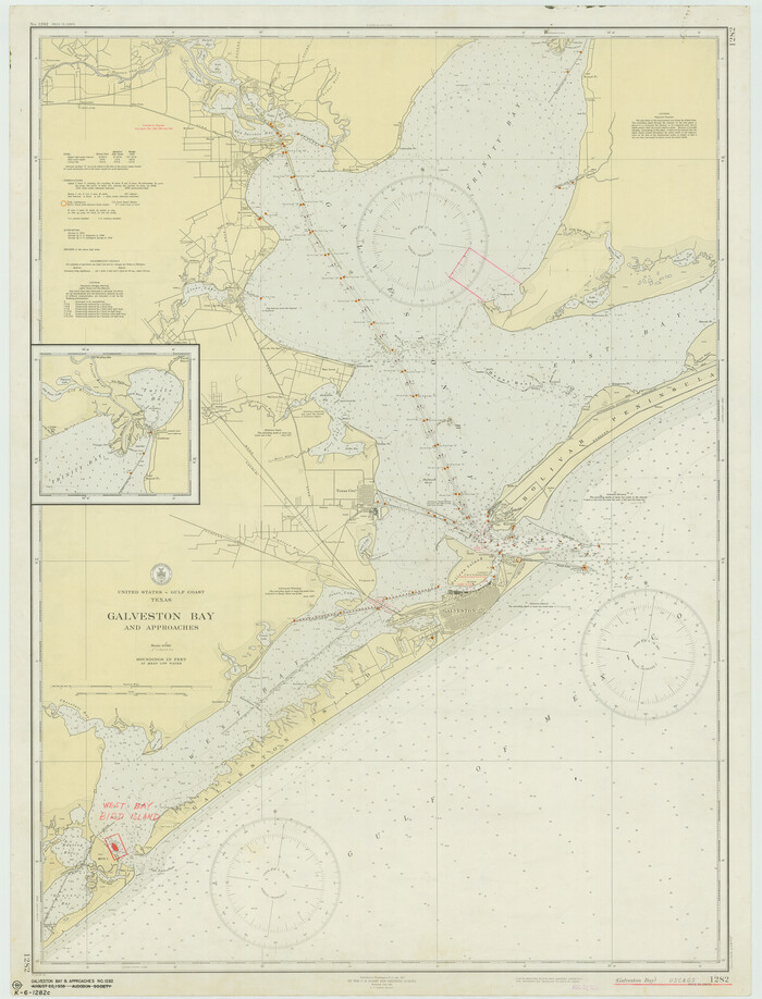

Print $20.00
- Digital $50.00
Galveston Bay and Approaches
1938
Size 45.4 x 34.6 inches
Map/Doc 69875
Grayson County Sketch File 11


Print $4.00
- Digital $50.00
Grayson County Sketch File 11
1857
Size 13.0 x 8.0 inches
Map/Doc 24476
![91443, [League 239, Portion of Block B5], Twichell Survey Records](https://historictexasmaps.com/wmedia_w1800h1800/maps/91443-1.tif.jpg)
