[State Capitol Lands]
185-1
-
Map/Doc
91650
-
Collection
Twichell Survey Records
-
Object Dates
9/16/1902 (Creation Date)
-
Counties
Parmer Castro Bailey
-
Height x Width
33.1 x 29.3 inches
84.1 x 74.4 cm
Part of: Twichell Survey Records
School District No. 5, Armstrong County, Texas


Print $20.00
- Digital $50.00
School District No. 5, Armstrong County, Texas
1908
Size 15.5 x 20.2 inches
Map/Doc 90271
SW/4 of County, B.S.& F. Bk. M-10, J.W.Woodburn Bk.B-1 & G.C.&S.F. Bk.BIGN
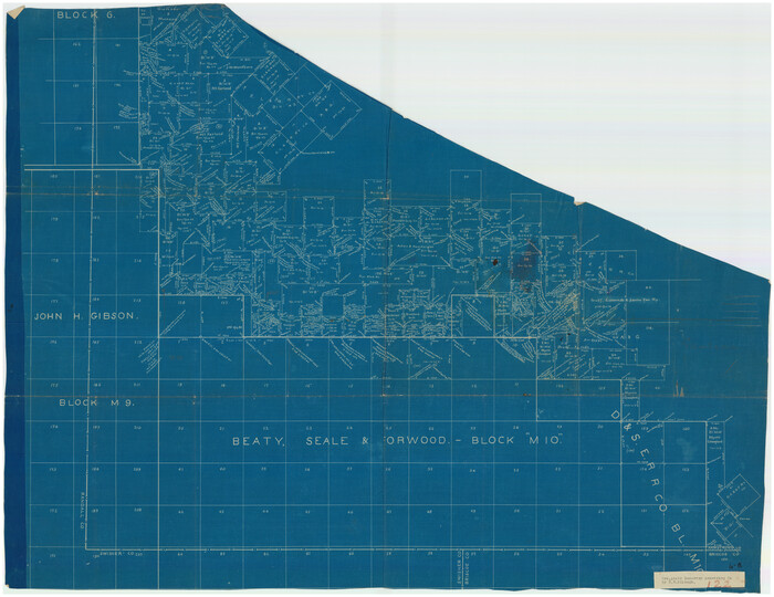

Print $20.00
- Digital $50.00
SW/4 of County, B.S.& F. Bk. M-10, J.W.Woodburn Bk.B-1 & G.C.&S.F. Bk.BIGN
Size 34.6 x 27.0 inches
Map/Doc 90266
[Blocks T2, T3, and K13]
![90997, [Blocks T2, T3, and K13], Twichell Survey Records](https://historictexasmaps.com/wmedia_w700/maps/90997-1.tif.jpg)
![90997, [Blocks T2, T3, and K13], Twichell Survey Records](https://historictexasmaps.com/wmedia_w700/maps/90997-1.tif.jpg)
Print $20.00
- Digital $50.00
[Blocks T2, T3, and K13]
Size 20.7 x 19.9 inches
Map/Doc 90997
Map Showing Section Lines and Corporation Lines of the City of Lubbock


Print $20.00
- Digital $50.00
Map Showing Section Lines and Corporation Lines of the City of Lubbock
1921
Size 27.5 x 25.2 inches
Map/Doc 92749
[Sketch showing Blocks A, S4, O6, JK, O5, O2, O, JK4, JD, A2, A1]
![89713, [Sketch showing Blocks A, S4, O6, JK, O5, O2, O, JK4, JD, A2, A1], Twichell Survey Records](https://historictexasmaps.com/wmedia_w700/maps/89713-1.tif.jpg)
![89713, [Sketch showing Blocks A, S4, O6, JK, O5, O2, O, JK4, JD, A2, A1], Twichell Survey Records](https://historictexasmaps.com/wmedia_w700/maps/89713-1.tif.jpg)
Print $40.00
- Digital $50.00
[Sketch showing Blocks A, S4, O6, JK, O5, O2, O, JK4, JD, A2, A1]
Size 48.9 x 37.6 inches
Map/Doc 89713
Surveys of Hutchins Stock Assn. Lse.


Print $20.00
- Digital $50.00
Surveys of Hutchins Stock Assn. Lse.
1929
Size 41.3 x 21.1 inches
Map/Doc 92817
Map of Liberty County
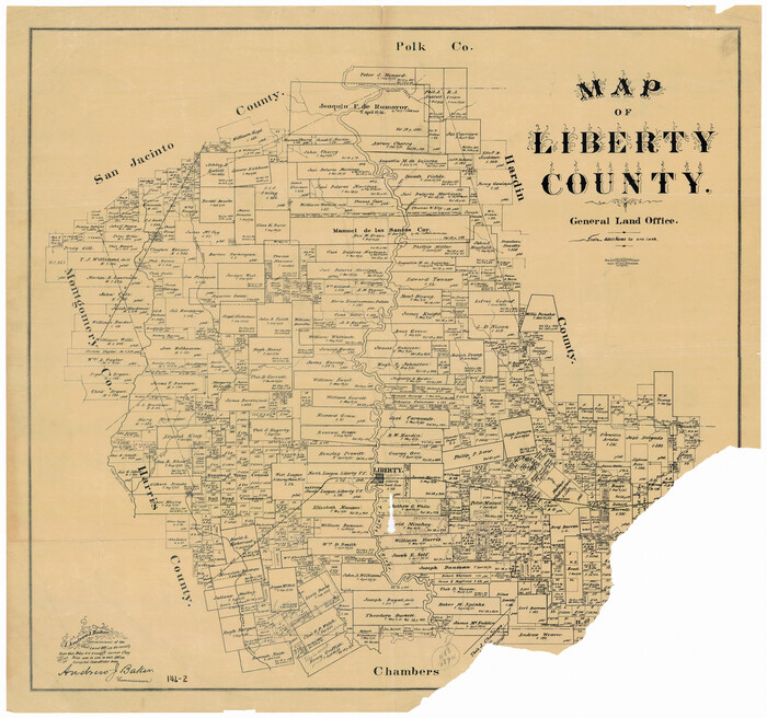

Print $20.00
- Digital $50.00
Map of Liberty County
Size 27.6 x 26.2 inches
Map/Doc 91079
[Connecting lines through Blocks A2, 29, I, GG, I. & G. N. Block 1 and Archer County School Land]
![91645, [Connecting lines through Blocks A2, 29, I, GG, I. & G. N. Block 1 and Archer County School Land], Twichell Survey Records](https://historictexasmaps.com/wmedia_w700/maps/91645-1.tif.jpg)
![91645, [Connecting lines through Blocks A2, 29, I, GG, I. & G. N. Block 1 and Archer County School Land], Twichell Survey Records](https://historictexasmaps.com/wmedia_w700/maps/91645-1.tif.jpg)
Print $20.00
- Digital $50.00
[Connecting lines through Blocks A2, 29, I, GG, I. & G. N. Block 1 and Archer County School Land]
Size 22.4 x 16.9 inches
Map/Doc 91645
[Sketch of parts of Blocks M6, 2Z and B5]
![91934, [Sketch of parts of Blocks M6, 2Z and B5], Twichell Survey Records](https://historictexasmaps.com/wmedia_w700/maps/91934-1.tif.jpg)
![91934, [Sketch of parts of Blocks M6, 2Z and B5], Twichell Survey Records](https://historictexasmaps.com/wmedia_w700/maps/91934-1.tif.jpg)
Print $20.00
- Digital $50.00
[Sketch of parts of Blocks M6, 2Z and B5]
1917
Size 43.1 x 20.9 inches
Map/Doc 91934
[Blocks in East Floyd County and West Motley County showing Blocks D2, D3, GM, GP and T]
![92113, [Blocks in East Floyd County and West Motley County showing Blocks D2, D3, GM, GP and T], Twichell Survey Records](https://historictexasmaps.com/wmedia_w700/maps/92113-1.tif.jpg)
![92113, [Blocks in East Floyd County and West Motley County showing Blocks D2, D3, GM, GP and T], Twichell Survey Records](https://historictexasmaps.com/wmedia_w700/maps/92113-1.tif.jpg)
Print $20.00
- Digital $50.00
[Blocks in East Floyd County and West Motley County showing Blocks D2, D3, GM, GP and T]
Size 22.2 x 10.9 inches
Map/Doc 92113
[Township 3 North, Block 32]
![91218, [Township 3 North, Block 32], Twichell Survey Records](https://historictexasmaps.com/wmedia_w700/maps/91218-1.tif.jpg)
![91218, [Township 3 North, Block 32], Twichell Survey Records](https://historictexasmaps.com/wmedia_w700/maps/91218-1.tif.jpg)
Print $20.00
- Digital $50.00
[Township 3 North, Block 32]
Size 14.4 x 17.8 inches
Map/Doc 91218
[Part of Wichita County in the vicinity of Elizabeth Stanley survey 812 and W. M. Rivers survey 810]
![91970, [Part of Wichita County in the vicinity of Elizabeth Stanley survey 812 and W. M. Rivers survey 810], Twichell Survey Records](https://historictexasmaps.com/wmedia_w700/maps/91970-1.tif.jpg)
![91970, [Part of Wichita County in the vicinity of Elizabeth Stanley survey 812 and W. M. Rivers survey 810], Twichell Survey Records](https://historictexasmaps.com/wmedia_w700/maps/91970-1.tif.jpg)
Print $3.00
- Digital $50.00
[Part of Wichita County in the vicinity of Elizabeth Stanley survey 812 and W. M. Rivers survey 810]
1920
Size 11.6 x 11.0 inches
Map/Doc 91970
You may also like
Brazoria County Sketch File 16
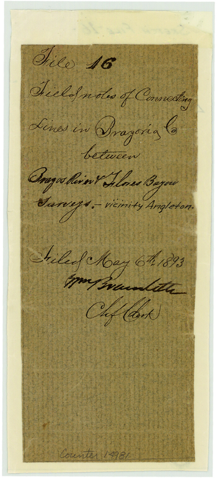

Print $16.00
- Digital $50.00
Brazoria County Sketch File 16
1893
Size 9.4 x 4.3 inches
Map/Doc 14981
Travis County Working Sketch 8


Print $20.00
- Digital $50.00
Travis County Working Sketch 8
1917
Size 18.8 x 18.8 inches
Map/Doc 69392
Presidio County Sketch File 115
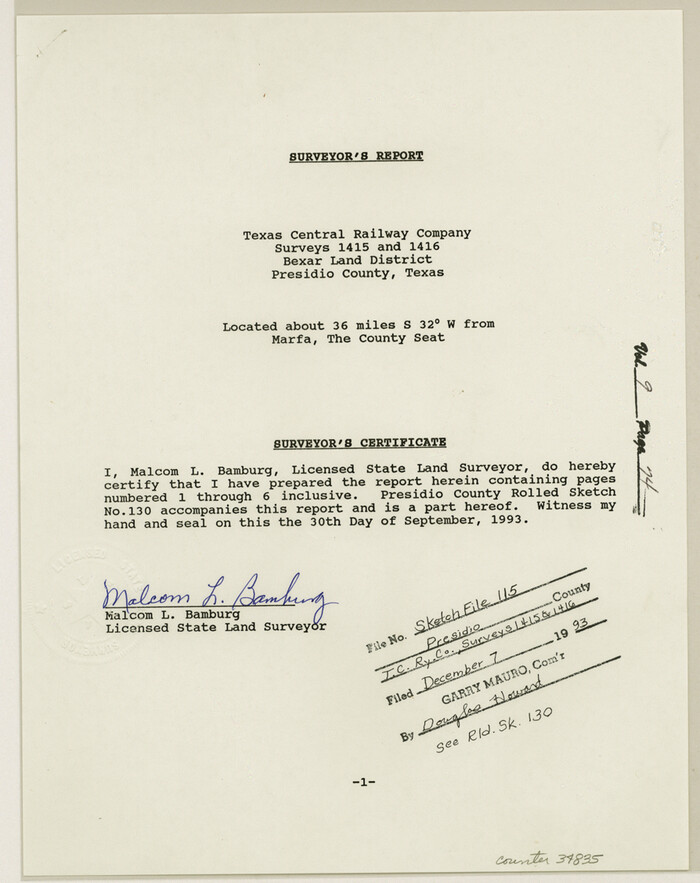

Print $14.00
- Digital $50.00
Presidio County Sketch File 115
1993
Size 11.3 x 8.9 inches
Map/Doc 34835
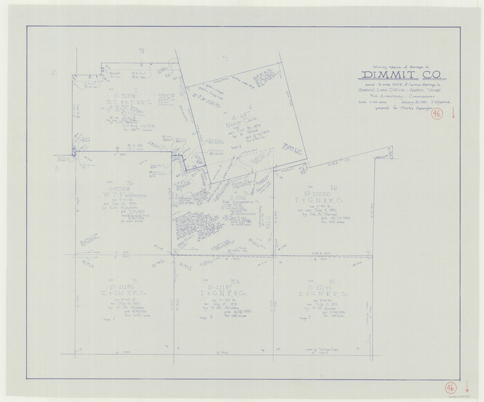
Dimmit County Working Sketch 46

Print $20.00
- Digital $50.00
Dimmit County Working Sketch 46
1980
Size 25.7 x 31.0 inches
Map/Doc 68707
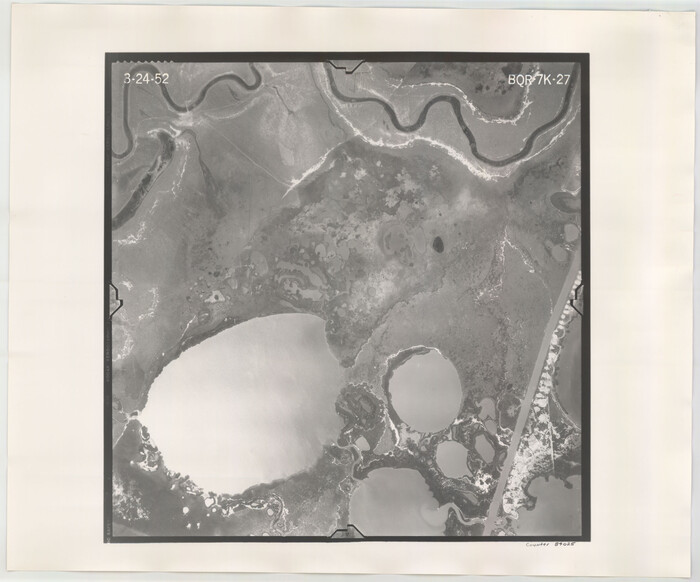
Flight Mission No. BQR-7K, Frame 27, Brazoria County

Print $20.00
- Digital $50.00
Flight Mission No. BQR-7K, Frame 27, Brazoria County
1952
Size 18.6 x 22.3 inches
Map/Doc 84025
[Sketch showing A. B. & M. Block 2]
![91702, [Sketch showing A. B. & M. Block 2], Twichell Survey Records](https://historictexasmaps.com/wmedia_w700/maps/91702-1.tif.jpg)
![91702, [Sketch showing A. B. & M. Block 2], Twichell Survey Records](https://historictexasmaps.com/wmedia_w700/maps/91702-1.tif.jpg)
Print $2.00
- Digital $50.00
[Sketch showing A. B. & M. Block 2]
Size 8.0 x 7.9 inches
Map/Doc 91702
Falls County Working Sketch 5


Print $40.00
- Digital $50.00
Falls County Working Sketch 5
2008
Size 34.3 x 56.6 inches
Map/Doc 88885
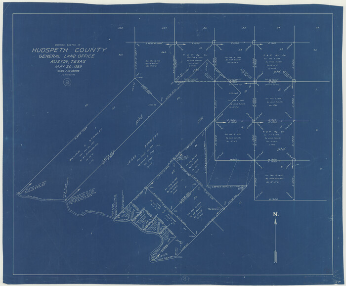
Hudspeth County Working Sketch 8

Print $20.00
- Digital $50.00
Hudspeth County Working Sketch 8
1939
Size 27.3 x 33.1 inches
Map/Doc 66289
Flight Mission No. BQR-9K, Frame 7, Brazoria County


Print $20.00
- Digital $50.00
Flight Mission No. BQR-9K, Frame 7, Brazoria County
1952
Size 18.7 x 22.5 inches
Map/Doc 84036
Presidio County Working Sketch 9a


Print $20.00
- Digital $50.00
Presidio County Working Sketch 9a
1933
Size 17.3 x 12.2 inches
Map/Doc 71684
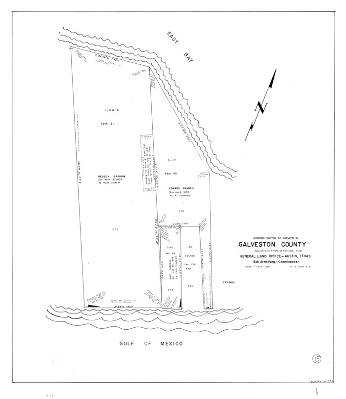
Galveston County Working Sketch 15

Print $20.00
- Digital $50.00
Galveston County Working Sketch 15
1978
Size 32.0 x 27.8 inches
Map/Doc 69352
Boundary Between the United States & Mexico Agreed Upon by the Joint Commission under the Treaty of Guadalupe Hidalgo


Print $4.00
- Digital $50.00
Boundary Between the United States & Mexico Agreed Upon by the Joint Commission under the Treaty of Guadalupe Hidalgo
1853
Size 24.5 x 18.4 inches
Map/Doc 65394
![91650, [State Capitol Lands], Twichell Survey Records](https://historictexasmaps.com/wmedia_w1800h1800/maps/91650-1.tif.jpg)