![91829, [Map showing Sanborn's Addition and Denver Heights Addition], Twichell Survey Records](https://historictexasmaps.com/wmedia_w1800h1800/maps/91829-1.tif.jpg)
[Map showing Sanborn's Addition and Denver Heights Addition]
188-102
-
Map/Doc
91829
-
Collection
Twichell Survey Records
-
Counties
Potter
-
Height x Width
22.5 x 38.9 inches
57.2 x 98.8 cm
Part of: Twichell Survey Records
[East Line of Lipscomb County]
![91306, [East Line of Lipscomb County], Twichell Survey Records](https://historictexasmaps.com/wmedia_w700/maps/91306-1.tif.jpg)
Print $20.00
- Digital $50.00
[East Line of Lipscomb County]
Size 8.9 x 27.2 inches
Map/Doc 91306
[Ezekiel Ables and surrounding surveys]
![90966, [Ezekiel Ables and surrounding surveys], Twichell Survey Records](https://historictexasmaps.com/wmedia_w700/maps/90966-1.tif.jpg)
Print $20.00
- Digital $50.00
[Ezekiel Ables and surrounding surveys]
Size 12.6 x 18.0 inches
Map/Doc 90966
[S.E. corner of Sec. 48, Blk. 35 T5N to N.E. corner of Sec. 1, Blk. 35 T5N]
![89826, [S.E. corner of Sec. 48, Blk. 35 T5N to N.E. corner of Sec. 1, Blk. 35 T5N], Twichell Survey Records](https://historictexasmaps.com/wmedia_w700/maps/89826-1.tif.jpg)
Print $40.00
- Digital $50.00
[S.E. corner of Sec. 48, Blk. 35 T5N to N.E. corner of Sec. 1, Blk. 35 T5N]
1907
Size 7.2 x 72.9 inches
Map/Doc 89826
Working Sketch in Archer County

Print $20.00
- Digital $50.00
Working Sketch in Archer County
1924
Size 30.7 x 42.4 inches
Map/Doc 89980
[G. & M. Block 5]
![91793, [G. & M. Block 5], Twichell Survey Records](https://historictexasmaps.com/wmedia_w700/maps/91793-1.tif.jpg)
Print $20.00
- Digital $50.00
[G. & M. Block 5]
Size 34.9 x 17.2 inches
Map/Doc 91793

Seminole, Gaines County, Texas

Print $20.00
- Digital $50.00
Seminole, Gaines County, Texas
Size 25.6 x 39.0 inches
Map/Doc 92692
James Subdivision, NE/4 Section 1, Block E, G. C. & S. F. R.R. Co. Cert 3/360, Abstract 46

Print $20.00
- Digital $50.00
James Subdivision, NE/4 Section 1, Block E, G. C. & S. F. R.R. Co. Cert 3/360, Abstract 46
Size 17.8 x 19.4 inches
Map/Doc 92734
[M. B. & B. Blocks A, B and C and various County School Land Leagues]
![90282, [M. B. & B. Blocks A, B and C and various County School Land Leagues], Twichell Survey Records](https://historictexasmaps.com/wmedia_w700/maps/90282-1.tif.jpg)
Print $20.00
- Digital $50.00
[M. B. & B. Blocks A, B and C and various County School Land Leagues]
Size 15.8 x 19.0 inches
Map/Doc 90282
[Blocks K3, K4, K7, K8, K14, M7, east part of Leagues]
![90593, [Blocks K3, K4, K7, K8, K14, M7, east part of Leagues], Twichell Survey Records](https://historictexasmaps.com/wmedia_w700/maps/90593-1.tif.jpg)
Print $20.00
- Digital $50.00
[Blocks K3, K4, K7, K8, K14, M7, east part of Leagues]
Size 32.6 x 32.4 inches
Map/Doc 90593
J. E. and J. W. Rhea's Ranch situated in Parmer Co., Texas

Print $20.00
- Digital $50.00
J. E. and J. W. Rhea's Ranch situated in Parmer Co., Texas
Size 23.2 x 24.3 inches
Map/Doc 91607
[Leagues 444, 445, 447, 426 1/2, 464-469, Gregg County School Land Leagues 1 and 2, part of Block B]
![91554, [Leagues 444, 445, 447, 426 1/2, 464-469, Gregg County School Land Leagues 1 and 2, part of Block B], Twichell Survey Records](https://historictexasmaps.com/wmedia_w700/maps/91554-1.tif.jpg)
Print $20.00
- Digital $50.00
[Leagues 444, 445, 447, 426 1/2, 464-469, Gregg County School Land Leagues 1 and 2, part of Block B]
Size 13.4 x 14.0 inches
Map/Doc 91554
You may also like
Map showing connection and conflict of Block 8, G. H. & S. A. Ry. with Block II, T. & P. Ry. Co.

Print $20.00
- Digital $50.00
Map showing connection and conflict of Block 8, G. H. & S. A. Ry. with Block II, T. & P. Ry. Co.
Size 25.5 x 33.2 inches
Map/Doc 91821
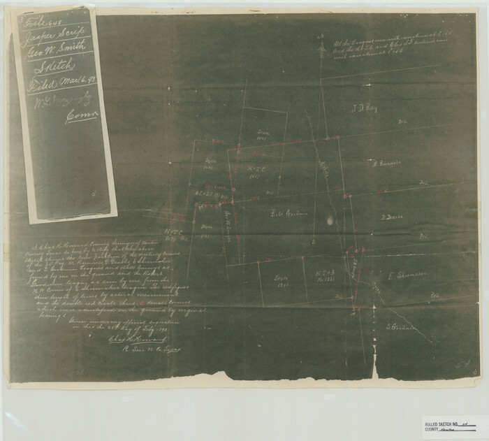
Newton County Rolled Sketch 24
Print $20.00
- Digital $50.00
Newton County Rolled Sketch 24
1893
Size 18.8 x 20.8 inches
Map/Doc 6851
Map of Panola County

Print $20.00
- Digital $50.00
Map of Panola County
1897
Size 42.8 x 39.6 inches
Map/Doc 66968
Pecos County Rolled Sketch 56

Print $20.00
- Digital $50.00
Pecos County Rolled Sketch 56
1916
Size 18.1 x 24.2 inches
Map/Doc 5229
Blanco County Rolled Sketch 19

Print $20.00
- Digital $50.00
Blanco County Rolled Sketch 19
Size 20.4 x 17.0 inches
Map/Doc 76409
Flight Mission No. BRA-9M, Frame 76, Jefferson County

Print $20.00
- Digital $50.00
Flight Mission No. BRA-9M, Frame 76, Jefferson County
1953
Size 18.5 x 22.5 inches
Map/Doc 85659
Flight Mission No. DCL-7C, Frame 121, Kenedy County

Print $20.00
- Digital $50.00
Flight Mission No. DCL-7C, Frame 121, Kenedy County
1943
Size 18.5 x 22.3 inches
Map/Doc 86086
Southern Part of Laguna Madre

Print $20.00
- Digital $50.00
Southern Part of Laguna Madre
1987
Size 44.5 x 34.7 inches
Map/Doc 73548
Crosby County

Print $20.00
- Digital $50.00
Crosby County
1927
Size 36.1 x 32.4 inches
Map/Doc 77255
Goliad County Sketch File 4

Print $6.00
- Digital $50.00
Goliad County Sketch File 4
1857
Size 7.7 x 12.3 inches
Map/Doc 24216
Bandera County Boundary File 5

Print $44.00
- Digital $50.00
Bandera County Boundary File 5
Size 14.2 x 8.7 inches
Map/Doc 50299
Hardin County Working Sketch 18

Print $20.00
- Digital $50.00
Hardin County Working Sketch 18
1944
Size 18.7 x 22.0 inches
Map/Doc 63416