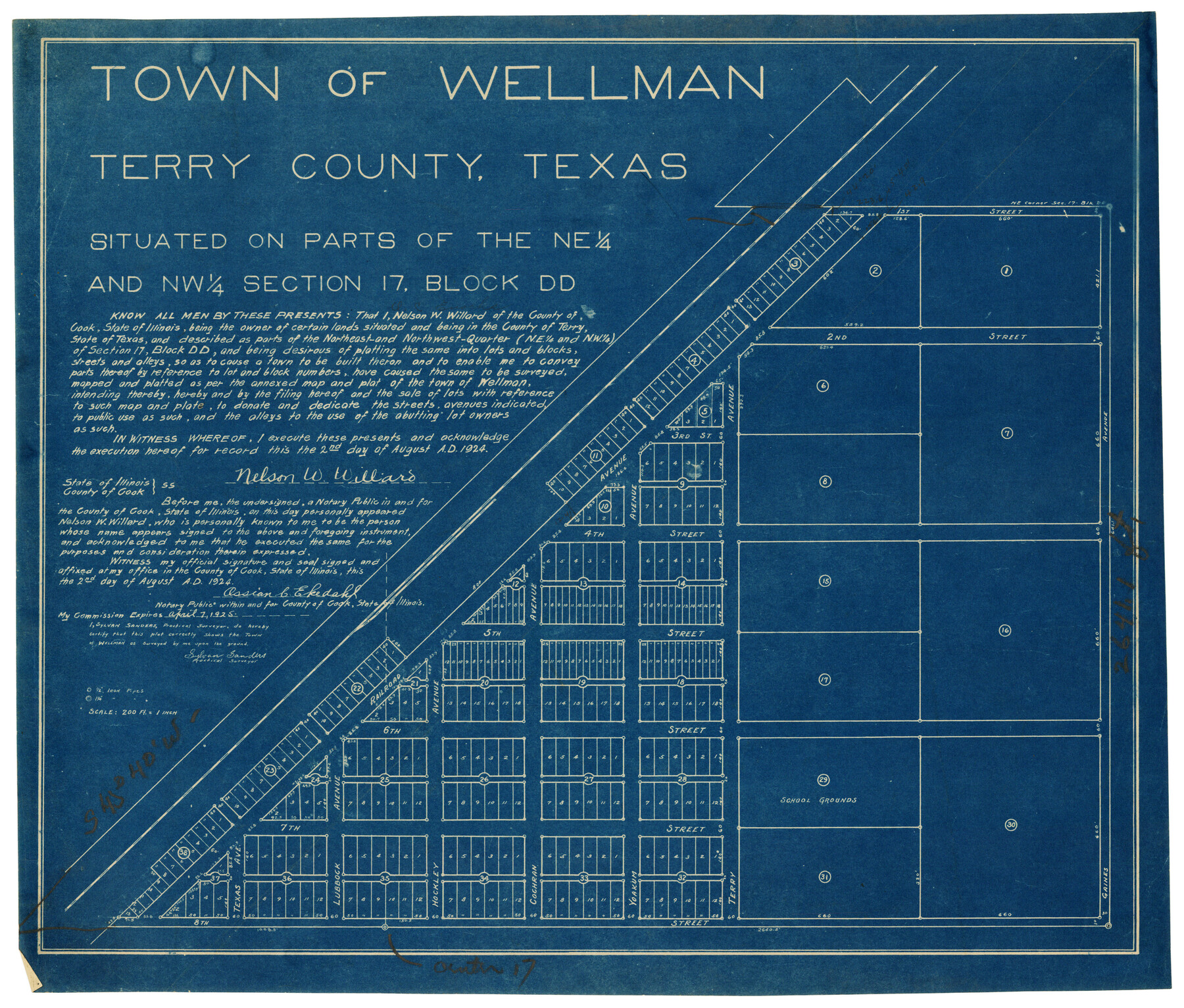
Town of Wellman Situated on Parts of the Northeast 1/4 and Northwest 1/4 Section 17, Block DD
-
Map/Doc
92886
-
Collection
Twichell Survey Records
-
Object Dates
8/2/1924 (Creation Date)
-
People and Organizations
Sylvan Sanders (Surveyor/Engineer)
-
Counties
Terry
-
Height x Width
14.3 x 12.3 inches
36.3 x 31.2 cm
Part of: Twichell Survey Records
Ellwood Farms Subdivision Number 2 of the Spade Ranch Lamb and Hale Counties, Texas


Print $20.00
- Digital $50.00
Ellwood Farms Subdivision Number 2 of the Spade Ranch Lamb and Hale Counties, Texas
Size 22.2 x 31.4 inches
Map/Doc 92258
[G. B. & C. Blocks K3 and K4]
![90512, [G. B. & C. Blocks K3 and K4], Twichell Survey Records](https://historictexasmaps.com/wmedia_w700/maps/90512-1.tif.jpg)
![90512, [G. B. & C. Blocks K3 and K4], Twichell Survey Records](https://historictexasmaps.com/wmedia_w700/maps/90512-1.tif.jpg)
Print $20.00
- Digital $50.00
[G. B. & C. Blocks K3 and K4]
Size 14.0 x 14.5 inches
Map/Doc 90512
[Spade and Ellwood Lands in Lubbock and Hale Counties]
![91072, [Spade and Ellwood Lands in Lubbock and Hale Counties], Twichell Survey Records](https://historictexasmaps.com/wmedia_w700/maps/91072-1.tif.jpg)
![91072, [Spade and Ellwood Lands in Lubbock and Hale Counties], Twichell Survey Records](https://historictexasmaps.com/wmedia_w700/maps/91072-1.tif.jpg)
Print $20.00
- Digital $50.00
[Spade and Ellwood Lands in Lubbock and Hale Counties]
Size 18.0 x 17.8 inches
Map/Doc 91072
[County School Land for Shackelford, Reeves, Hardeman, Val Verde, Hood, Martin, Rusk, Atascosa, and Edwards Counties]
![91100, [County School Land for Shackelford, Reeves, Hardeman, Val Verde, Hood, Martin, Rusk, Atascosa, and Edwards Counties], Twichell Survey Records](https://historictexasmaps.com/wmedia_w700/maps/91100-1.tif.jpg)
![91100, [County School Land for Shackelford, Reeves, Hardeman, Val Verde, Hood, Martin, Rusk, Atascosa, and Edwards Counties], Twichell Survey Records](https://historictexasmaps.com/wmedia_w700/maps/91100-1.tif.jpg)
Print $2.00
- Digital $50.00
[County School Land for Shackelford, Reeves, Hardeman, Val Verde, Hood, Martin, Rusk, Atascosa, and Edwards Counties]
Size 7.5 x 6.4 inches
Map/Doc 91100
Sketch of Section 3, Blk. JW, Showing Quantity East of Each Texas Section


Print $20.00
- Digital $50.00
Sketch of Section 3, Blk. JW, Showing Quantity East of Each Texas Section
Size 34.2 x 8.0 inches
Map/Doc 91985
[Blocks 3, 5 & Q]
![91275, [Blocks 3, 5 & Q], Twichell Survey Records](https://historictexasmaps.com/wmedia_w700/maps/91275-1.tif.jpg)
![91275, [Blocks 3, 5 & Q], Twichell Survey Records](https://historictexasmaps.com/wmedia_w700/maps/91275-1.tif.jpg)
Print $20.00
- Digital $50.00
[Blocks 3, 5 & Q]
Size 19.4 x 9.2 inches
Map/Doc 91275
[Part of Connected map of Stephen F. Austin's Colony on file at the GLO]
![90119, [Part of Connected map of Stephen F. Austin's Colony on file at the GLO], Twichell Survey Records](https://historictexasmaps.com/wmedia_w700/maps/90119-1.tif.jpg)
![90119, [Part of Connected map of Stephen F. Austin's Colony on file at the GLO], Twichell Survey Records](https://historictexasmaps.com/wmedia_w700/maps/90119-1.tif.jpg)
Print $20.00
- Digital $50.00
[Part of Connected map of Stephen F. Austin's Colony on file at the GLO]
1923
Size 18.5 x 18.1 inches
Map/Doc 90119
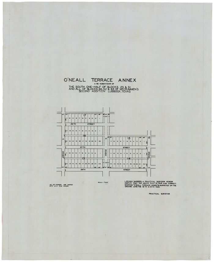
O'Neall Terrace Annex, a Re-Subdivision of the South One-half of Blocks 25 and 31 and all of Blocks 30, 32, and 33 of McCrummen's Second Addition, Lubbock, Texas

Print $20.00
- Digital $50.00
O'Neall Terrace Annex, a Re-Subdivision of the South One-half of Blocks 25 and 31 and all of Blocks 30, 32, and 33 of McCrummen's Second Addition, Lubbock, Texas
1928
Size 23.2 x 27.6 inches
Map/Doc 92747
[McLennan County School Land Leagues Nos. 3 and 4]
![90879, [McLennan County School Land Leagues Nos. 3 and 4], Twichell Survey Records](https://historictexasmaps.com/wmedia_w700/maps/90879-2.tif.jpg)
![90879, [McLennan County School Land Leagues Nos. 3 and 4], Twichell Survey Records](https://historictexasmaps.com/wmedia_w700/maps/90879-2.tif.jpg)
Print $20.00
- Digital $50.00
[McLennan County School Land Leagues Nos. 3 and 4]
1919
Size 9.1 x 18.6 inches
Map/Doc 90879
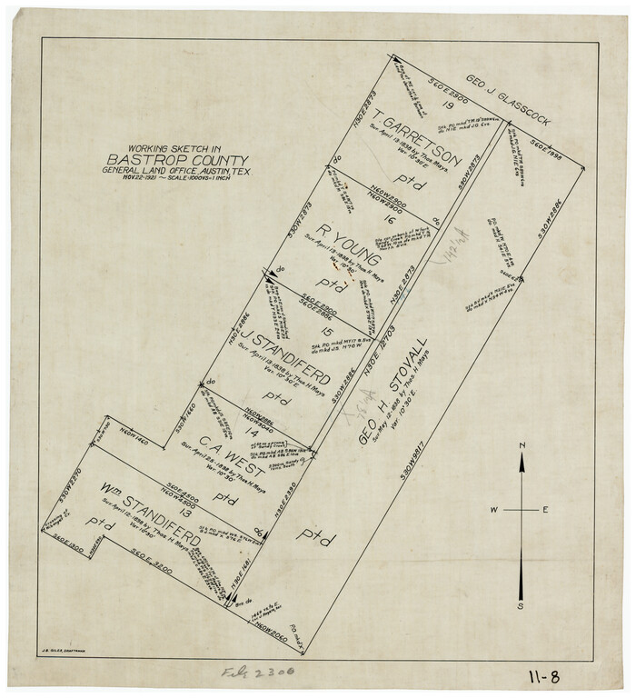
Working Sketch in Bastrop County

Print $20.00
- Digital $50.00
Working Sketch in Bastrop County
1921
Size 14.8 x 16.0 inches
Map/Doc 90114
[Map showing State Capitol Lands]
![93143, [Map showing State Capitol Lands], Twichell Survey Records](https://historictexasmaps.com/wmedia_w700/maps/93143-1.tif.jpg)
![93143, [Map showing State Capitol Lands], Twichell Survey Records](https://historictexasmaps.com/wmedia_w700/maps/93143-1.tif.jpg)
Print $40.00
- Digital $50.00
[Map showing State Capitol Lands]
Size 50.6 x 65.3 inches
Map/Doc 93143
[Randall County School Land League 152 and vicinity]
![92998, [Randall County School Land League 152 and vicinity], Twichell Survey Records](https://historictexasmaps.com/wmedia_w700/maps/92998.tif.jpg)
![92998, [Randall County School Land League 152 and vicinity], Twichell Survey Records](https://historictexasmaps.com/wmedia_w700/maps/92998.tif.jpg)
Print $3.00
- Digital $50.00
[Randall County School Land League 152 and vicinity]
1949
Size 15.0 x 10.9 inches
Map/Doc 92998
You may also like
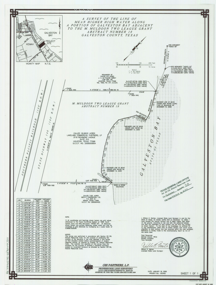
Galveston County NRC Article 33.136 Sketch 38

Print $28.00
- Digital $50.00
Galveston County NRC Article 33.136 Sketch 38
2006
Size 24.4 x 18.6 inches
Map/Doc 83079
Presidio County Working Sketch 138
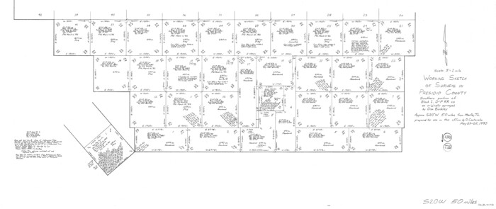

Print $20.00
- Digital $50.00
Presidio County Working Sketch 138
1990
Size 17.4 x 41.2 inches
Map/Doc 71816
Jim Hogg County Sketch File 1
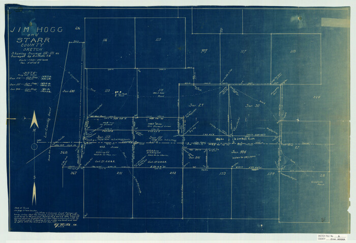

Print $20.00
- Digital $50.00
Jim Hogg County Sketch File 1
1931
Size 18.2 x 26.7 inches
Map/Doc 11883
Real County Rolled Sketch 12
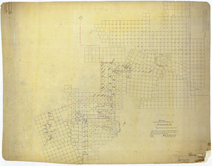

Print $40.00
- Digital $50.00
Real County Rolled Sketch 12
Size 42.7 x 54.6 inches
Map/Doc 9836
Map of Harris County


Print $40.00
- Digital $50.00
Map of Harris County
1897
Size 48.4 x 66.9 inches
Map/Doc 82068
Hardin County Working Sketch 2
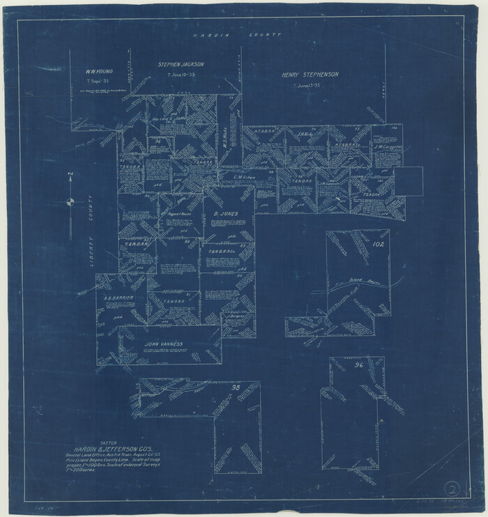

Print $20.00
- Digital $50.00
Hardin County Working Sketch 2
1903
Size 23.2 x 21.9 inches
Map/Doc 63400
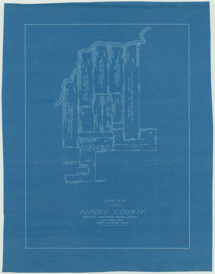
Kimble County Working Sketch 5

Print $20.00
- Digital $50.00
Kimble County Working Sketch 5
1915
Size 17.0 x 13.4 inches
Map/Doc 70073
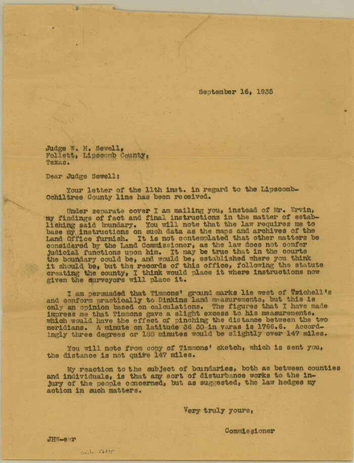
Lipscomb County Boundary File 9

Print $8.00
- Digital $50.00
Lipscomb County Boundary File 9
Size 11.2 x 8.5 inches
Map/Doc 56335
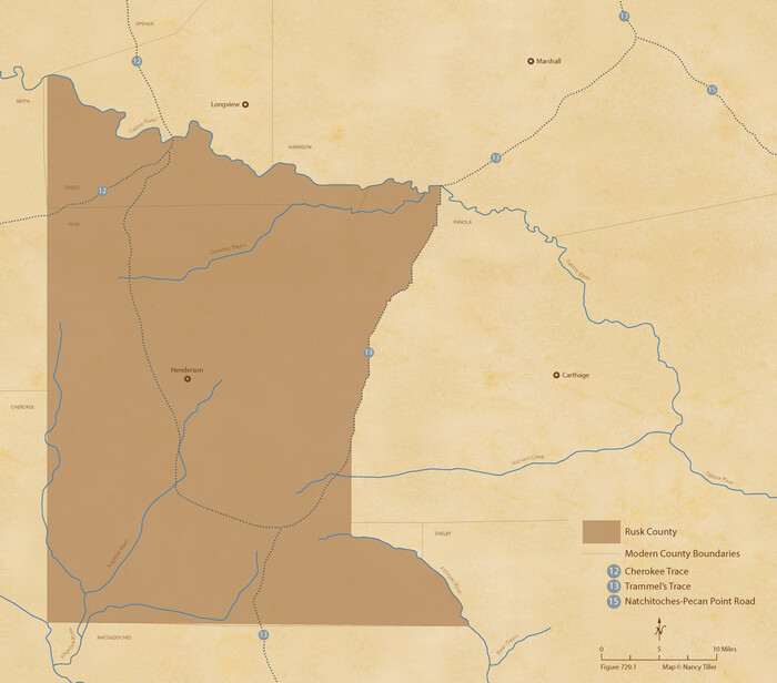
The Republic County of Rusk. Created, January 16, 1843

Print $20.00
The Republic County of Rusk. Created, January 16, 1843
2020
Size 19.1 x 21.7 inches
Map/Doc 96265
Stonewall County Rolled Sketch 24B


Print $40.00
- Digital $50.00
Stonewall County Rolled Sketch 24B
1954
Size 50.1 x 43.1 inches
Map/Doc 9964
Upton County Working Sketch 28


Print $40.00
- Digital $50.00
Upton County Working Sketch 28
1956
Size 52.5 x 35.9 inches
Map/Doc 69524
