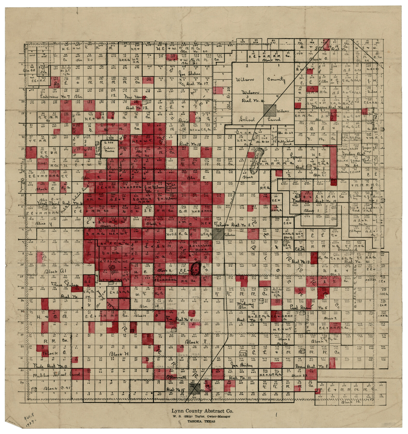
Lynn County
-
Map/Doc
92895
-
Collection
Twichell Survey Records
-
People and Organizations
Lynn County Abstract Co. (Compiler)
-
Counties
Lynn
-
Subjects
County
-
Height x Width
11.0 x 11.7 inches
27.9 x 29.7 cm
Part of: Twichell Survey Records
[H. & T. C. Blocks 3 and 4; G. H. & S. A Blocks 2, 4, and 12; D. & P. Block 3]
![91027, [H. & T. C. Blocks 3 and 4; G. H. & S. A Blocks 2, 4, and 12; D. & P. Block 3], Twichell Survey Records](https://historictexasmaps.com/wmedia_w700/maps/91027-1.tif.jpg)
Print $20.00
- Digital $50.00
[H. & T. C. Blocks 3 and 4; G. H. & S. A Blocks 2, 4, and 12; D. & P. Block 3]
Size 44.6 x 36.3 inches
Map/Doc 91027
[T.& P. RR Co. Block 32 Township 4 North]
![92455, [T.& P. RR Co. Block 32 Township 4 North], Twichell Survey Records](https://historictexasmaps.com/wmedia_w700/maps/92455-1.tif.jpg)
Print $20.00
- Digital $50.00
[T.& P. RR Co. Block 32 Township 4 North]
Size 35.5 x 19.5 inches
Map/Doc 92455
[H. & T. C. 47, Sections 57- 61] / [Blocks 4 and 6]
![91416, [H. & T. C. 47, Sections 57- 61] / [Blocks 4 and 6], Twichell Survey Records](https://historictexasmaps.com/wmedia_w700/maps/91416-1.tif.jpg)
Print $20.00
- Digital $50.00
[H. & T. C. 47, Sections 57- 61] / [Blocks 4 and 6]
Size 26.0 x 19.5 inches
Map/Doc 91416
[T. & P. Blocks 31-33, Township 5N]
![90568, [T. & P. Blocks 31-33, Township 5N], Twichell Survey Records](https://historictexasmaps.com/wmedia_w700/maps/90568-1.tif.jpg)
Print $20.00
- Digital $50.00
[T. & P. Blocks 31-33, Township 5N]
Size 14.6 x 17.7 inches
Map/Doc 90568
Crosby County

Print $20.00
- Digital $50.00
Crosby County
1892
Size 13.2 x 15.4 inches
Map/Doc 90495
[John B. Robinson and surrounding surveys]
![91040, [John B. Robinson and surrounding surveys], Twichell Survey Records](https://historictexasmaps.com/wmedia_w700/maps/91040-1.tif.jpg)
Print $20.00
- Digital $50.00
[John B. Robinson and surrounding surveys]
Size 12.9 x 15.2 inches
Map/Doc 91040
[H. & T. C. RR. Company, Block 46, Sections 60- 69]
![91253, [H. & T. C. RR. Company, Block 46, Sections 60- 69], Twichell Survey Records](https://historictexasmaps.com/wmedia_w700/maps/91253-1.tif.jpg)
Print $20.00
- Digital $50.00
[H. & T. C. RR. Company, Block 46, Sections 60- 69]
Size 29.8 x 18.3 inches
Map/Doc 91253
Subdivision Map of Fisher County School Land situated in Bailey and Cochran Counties, Texas

Print $20.00
- Digital $50.00
Subdivision Map of Fisher County School Land situated in Bailey and Cochran Counties, Texas
1924
Size 17.3 x 21.3 inches
Map/Doc 90111
[Sketch of Unknown Area in New Mexico]
![93027, [Sketch of Unknown Area in New Mexico], Twichell Survey Records](https://historictexasmaps.com/wmedia_w700/maps/93027-1.tif.jpg)
Print $40.00
- Digital $50.00
[Sketch of Unknown Area in New Mexico]
Size 50.6 x 37.1 inches
Map/Doc 93027
[Connecting lines from west corner of S. K. & K. Block M6 to northwest corner section 1, J. G. & S. M. Blk. 2Z]
![90399, [Connecting lines from west corner of S. K. & K. Block M6 to northwest corner section 1, J. G. & S. M. Blk. 2Z], Twichell Survey Records](https://historictexasmaps.com/wmedia_w700/maps/90399-1.tif.jpg)
Print $20.00
- Digital $50.00
[Connecting lines from west corner of S. K. & K. Block M6 to northwest corner section 1, J. G. & S. M. Blk. 2Z]
Size 25.1 x 17.0 inches
Map/Doc 90399

General Highway Map Bailey County, Texas

Print $20.00
- Digital $50.00
General Highway Map Bailey County, Texas
1948
Size 18.7 x 25.8 inches
Map/Doc 92533
You may also like
Nueces County NRC Article 33.136 Location Key Sheet

Print $20.00
- Digital $50.00
Nueces County NRC Article 33.136 Location Key Sheet
1975
Size 27.0 x 23.0 inches
Map/Doc 77032
Tarrant County Working Sketch 3

Print $20.00
- Digital $50.00
Tarrant County Working Sketch 3
1948
Size 26.3 x 24.9 inches
Map/Doc 62420
Harris County Working Sketch 12

Print $20.00
- Digital $50.00
Harris County Working Sketch 12
1913
Size 17.7 x 21.3 inches
Map/Doc 65904
Pecos County Sketch File 49c

Print $10.00
- Digital $50.00
Pecos County Sketch File 49c
Size 5.9 x 8.7 inches
Map/Doc 33768

Clay County Working Sketch 11

Print $20.00
- Digital $50.00
Clay County Working Sketch 11
1941
Size 27.7 x 27.1 inches
Map/Doc 68034
Flight Mission No. CGI-4N, Frame 189, Cameron County

Print $20.00
- Digital $50.00
Flight Mission No. CGI-4N, Frame 189, Cameron County
1955
Size 18.5 x 22.2 inches
Map/Doc 84692
Nolan County Working Sketch 1

Print $20.00
- Digital $50.00
Nolan County Working Sketch 1
1928
Size 17.9 x 17.5 inches
Map/Doc 71292
Uvalde County Working Sketch 15

Print $20.00
- Digital $50.00
Uvalde County Working Sketch 15
1945
Size 18.5 x 26.9 inches
Map/Doc 72085
Chambers County NRC Article 33.136 Location Key Sheet

Print $20.00
- Digital $50.00
Chambers County NRC Article 33.136 Location Key Sheet
1983
Size 24.0 x 44.0 inches
Map/Doc 77014
Galveston Bay Entrance - Galveston and Texas City Harbors

Print $40.00
- Digital $50.00
Galveston Bay Entrance - Galveston and Texas City Harbors
1973
Size 37.0 x 53.0 inches
Map/Doc 69863
Armstrong County Boundary File 1b

Print $12.00
- Digital $50.00
Armstrong County Boundary File 1b
Size 14.1 x 8.7 inches
Map/Doc 50126