[Sketch showing Blocks B5, B6 and G.&M. Block 5 north of Capitol Land]
180-24
-
Map/Doc
92989
-
Collection
Twichell Survey Records
-
Counties
Oldham
-
Height x Width
38.4 x 20.9 inches
97.5 x 53.1 cm
-
Comments
See counter 92990 for sketch on reverse.
Related maps
[Sketch showing Blocks B5, B6 and G.&M. Block 5 north of Capitol Land]
![92990, [Sketch showing Blocks B5, B6 and G.&M. Block 5 north of Capitol Land], Twichell Survey Records](https://historictexasmaps.com/wmedia_w700/maps/92990-1.tif.jpg)
![92990, [Sketch showing Blocks B5, B6 and G.&M. Block 5 north of Capitol Land], Twichell Survey Records](https://historictexasmaps.com/wmedia_w700/maps/92990-1.tif.jpg)
Print $20.00
- Digital $50.00
[Sketch showing Blocks B5, B6 and G.&M. Block 5 north of Capitol Land]
Size 20.7 x 38.2 inches
Map/Doc 92990
Part of: Twichell Survey Records
[Southeast Portion of Lubbock County]
![91313, [Southeast Portion of Lubbock County], Twichell Survey Records](https://historictexasmaps.com/wmedia_w700/maps/91313-1.tif.jpg)
![91313, [Southeast Portion of Lubbock County], Twichell Survey Records](https://historictexasmaps.com/wmedia_w700/maps/91313-1.tif.jpg)
Print $20.00
- Digital $50.00
[Southeast Portion of Lubbock County]
Size 24.7 x 18.5 inches
Map/Doc 91313
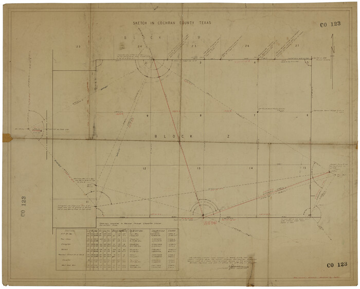
Sketch in Cochran County, Texas

Print $20.00
- Digital $50.00
Sketch in Cochran County, Texas
1940
Size 33.1 x 26.5 inches
Map/Doc 92489
Gulf Coast Oil Fields


Print $2.00
- Digital $50.00
Gulf Coast Oil Fields
Size 12.6 x 8.1 inches
Map/Doc 90135
University of Texas System University Lands


Print $20.00
- Digital $50.00
University of Texas System University Lands
Size 23.2 x 17.6 inches
Map/Doc 93235
[Part of Blocks H. & G. N. 12, University Lands 16 and 17, C-3, C-4, A-2, 194 and Z]
![91621, [Part of Blocks H. & G. N. 12, University Lands 16 and 17, C-3, C-4, A-2, 194 and Z], Twichell Survey Records](https://historictexasmaps.com/wmedia_w700/maps/91621-1.tif.jpg)
![91621, [Part of Blocks H. & G. N. 12, University Lands 16 and 17, C-3, C-4, A-2, 194 and Z], Twichell Survey Records](https://historictexasmaps.com/wmedia_w700/maps/91621-1.tif.jpg)
Print $20.00
- Digital $50.00
[Part of Blocks H. & G. N. 12, University Lands 16 and 17, C-3, C-4, A-2, 194 and Z]
1907
Size 26.1 x 18.9 inches
Map/Doc 91621
[Sections 5 through 34]
![92480, [Sections 5 through 34], Twichell Survey Records](https://historictexasmaps.com/wmedia_w700/maps/92480-1.tif.jpg)
![92480, [Sections 5 through 34], Twichell Survey Records](https://historictexasmaps.com/wmedia_w700/maps/92480-1.tif.jpg)
Print $20.00
- Digital $50.00
[Sections 5 through 34]
Size 23.9 x 19.4 inches
Map/Doc 92480
[E. L. & R. R. RR. Blks. 9 & 10]
![90123, [E. L. & R. R. RR. Blks. 9 & 10], Twichell Survey Records](https://historictexasmaps.com/wmedia_w700/maps/90123-1.tif.jpg)
![90123, [E. L. & R. R. RR. Blks. 9 & 10], Twichell Survey Records](https://historictexasmaps.com/wmedia_w700/maps/90123-1.tif.jpg)
Print $2.00
- Digital $50.00
[E. L. & R. R. RR. Blks. 9 & 10]
Size 8.7 x 11.3 inches
Map/Doc 90123
[Gunter & Munson Maddox Bros. & Anderson Blocks F, O, N, A and vicinity]
![93203, [Gunter & Munson Maddox Bros. & Anderson Blocks F, O, N, A and vicinity], Twichell Survey Records](https://historictexasmaps.com/wmedia_w700/maps/93203-1.tif.jpg)
![93203, [Gunter & Munson Maddox Bros. & Anderson Blocks F, O, N, A and vicinity], Twichell Survey Records](https://historictexasmaps.com/wmedia_w700/maps/93203-1.tif.jpg)
Print $40.00
- Digital $50.00
[Gunter & Munson Maddox Bros. & Anderson Blocks F, O, N, A and vicinity]
1929
Size 81.0 x 15.2 inches
Map/Doc 93203
[H. & G. N. Block 8 showing Llano and Espuella fence lines]
![90374, [H. & G. N. Block 8 showing Llano and Espuella fence lines], Twichell Survey Records](https://historictexasmaps.com/wmedia_w700/maps/90374-1.tif.jpg)
![90374, [H. & G. N. Block 8 showing Llano and Espuella fence lines], Twichell Survey Records](https://historictexasmaps.com/wmedia_w700/maps/90374-1.tif.jpg)
Print $2.00
- Digital $50.00
[H. & G. N. Block 8 showing Llano and Espuella fence lines]
Size 6.2 x 9.7 inches
Map/Doc 90374
Right-of-way & Track Map Dawson Railway Operated by the El Paso & Southwestern Company Station 360+75.4 to Station 149+55.4


Print $40.00
- Digital $50.00
Right-of-way & Track Map Dawson Railway Operated by the El Paso & Southwestern Company Station 360+75.4 to Station 149+55.4
1910
Size 56.8 x 24.7 inches
Map/Doc 89660
[Sketch of Part of B. S. & F. Block 9]
![93090, [Sketch of Part of B. S. & F. Block 9], Twichell Survey Records](https://historictexasmaps.com/wmedia_w700/maps/93090-1.tif.jpg)
![93090, [Sketch of Part of B. S. & F. Block 9], Twichell Survey Records](https://historictexasmaps.com/wmedia_w700/maps/93090-1.tif.jpg)
Print $2.00
- Digital $50.00
[Sketch of Part of B. S. & F. Block 9]
Size 7.6 x 7.4 inches
Map/Doc 93090
You may also like
A Map of the United States including every county enumerated in the last census & since formed with the population of the several states, railroads, canals, & c.


A Map of the United States including every county enumerated in the last census & since formed with the population of the several states, railroads, canals, & c.
Size 46.0 x 61.0 inches
Map/Doc 95918
Jefferson County Sketch File 50

Print $5.00
- Digital $50.00
Jefferson County Sketch File 50
1841
Size 8.2 x 9.7 inches
Map/Doc 28247
Uvalde County Rolled Sketch 21


Print $40.00
- Digital $50.00
Uvalde County Rolled Sketch 21
Size 54.1 x 45.6 inches
Map/Doc 10067
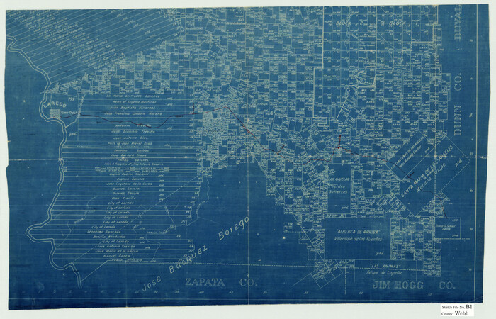
Webb County Sketch File B1

Print $20.00
- Digital $50.00
Webb County Sketch File B1
Size 16.9 x 26.4 inches
Map/Doc 12606
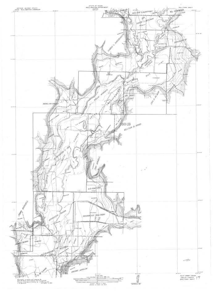
Trinity River, Balltown Sheet/Pilot Grove Creek

Print $20.00
- Digital $50.00
Trinity River, Balltown Sheet/Pilot Grove Creek
1916
Size 36.9 x 27.5 inches
Map/Doc 65195
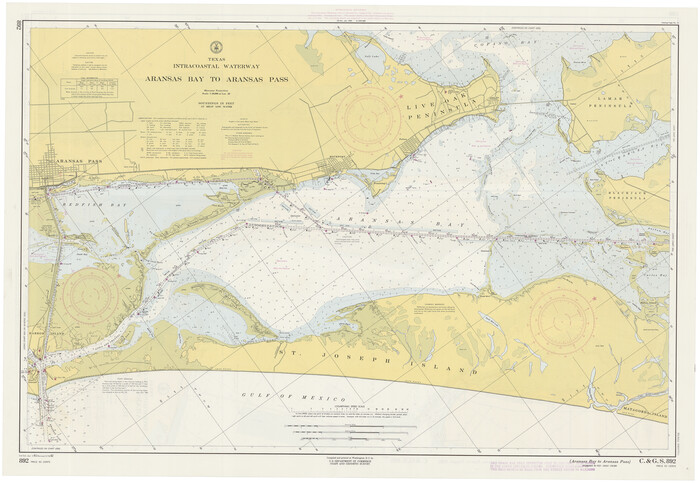
Texas Intracoastal Waterway, Aransas Bay to Aransas Pass

Print $20.00
- Digital $50.00
Texas Intracoastal Waterway, Aransas Bay to Aransas Pass
1962
Size 26.8 x 38.7 inches
Map/Doc 73438
Flight Mission No. DQO-2K, Frame 101, Galveston County


Print $20.00
- Digital $50.00
Flight Mission No. DQO-2K, Frame 101, Galveston County
1952
Size 18.8 x 22.5 inches
Map/Doc 85028
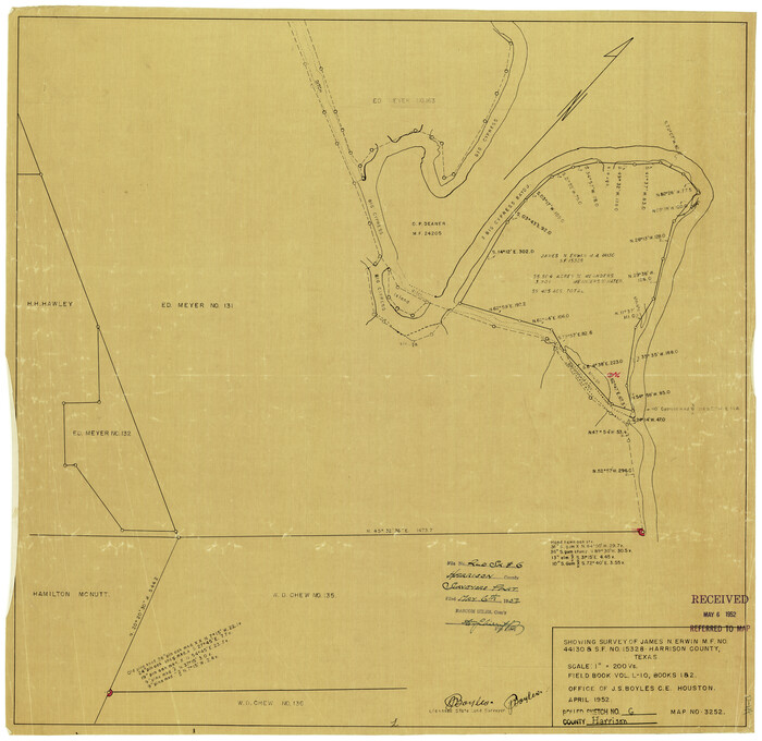
Harrison County Rolled Sketch 6

Print $20.00
- Digital $50.00
Harrison County Rolled Sketch 6
1952
Size 23.8 x 24.6 inches
Map/Doc 6151
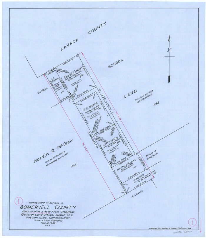
Somervell County Working Sketch 1

Print $20.00
- Digital $50.00
Somervell County Working Sketch 1
1950
Size 17.8 x 15.4 inches
Map/Doc 63905
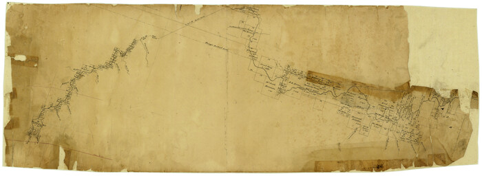
Fannin County Rolled Sketch 18A

Print $20.00
- Digital $50.00
Fannin County Rolled Sketch 18A
Size 15.1 x 33.6 inches
Map/Doc 5868
Deaf Smith County Sketch File 7


Print $4.00
- Digital $50.00
Deaf Smith County Sketch File 7
1917
Size 11.3 x 9.0 inches
Map/Doc 20664
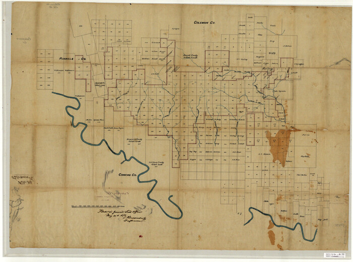
Coleman County Sketch File 31

Print $20.00
- Digital $50.00
Coleman County Sketch File 31
Size 31.2 x 41.9 inches
Map/Doc 10339
![92989, [Sketch showing Blocks B5, B6 and G.&M. Block 5 north of Capitol Land], Twichell Survey Records](https://historictexasmaps.com/wmedia_w1800h1800/maps/92989-1.tif.jpg)
![92466, [Muleshoe], Twichell Survey Records](https://historictexasmaps.com/wmedia_w700/maps/92466-1.tif.jpg)