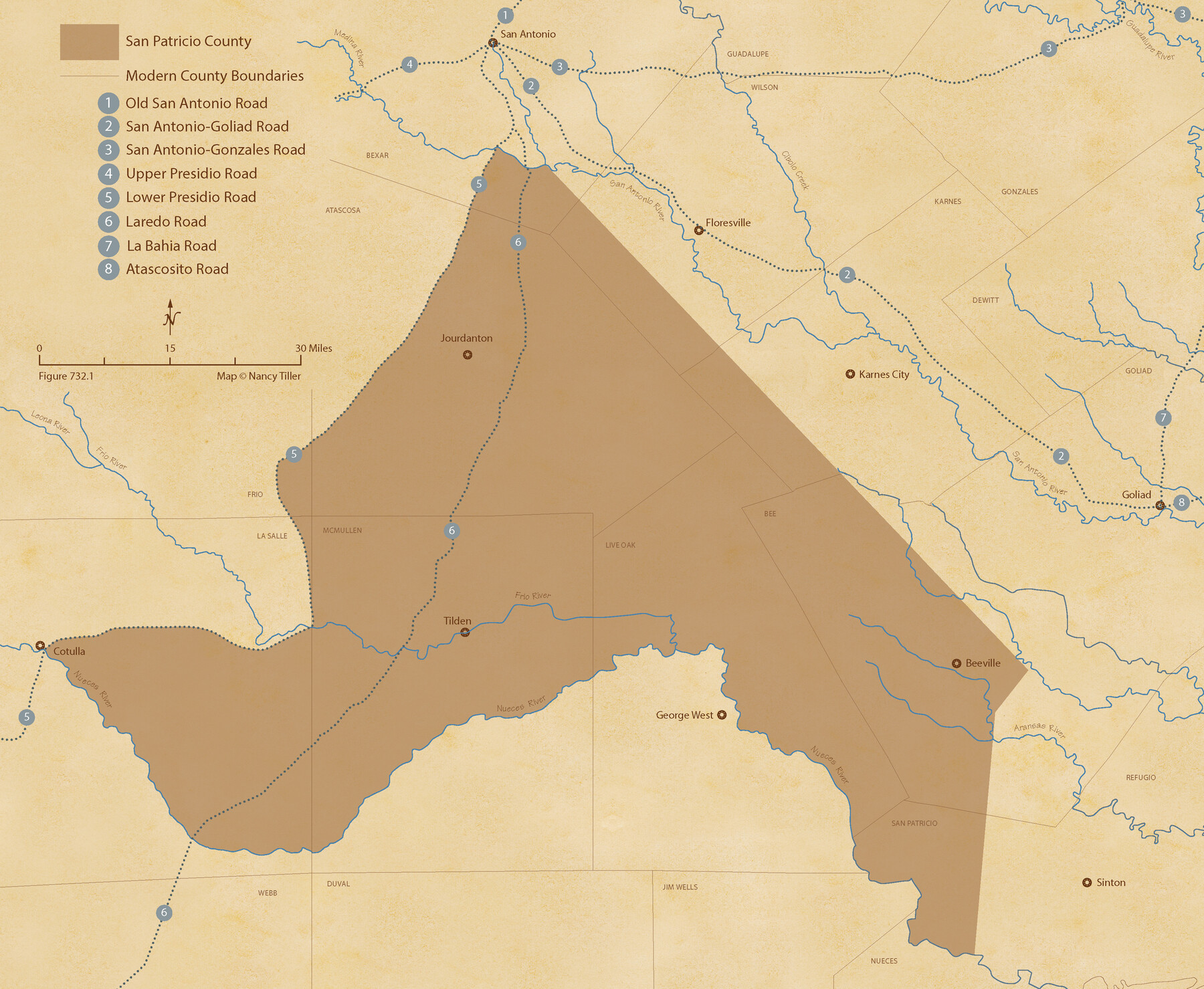
The Republic County of San Patricio. Proposed, Late Fall 1837
Figure No. 732.1 from 'A Boundary Atlas of Texas, 1821-1845' by Jim Tiller
-
Map/Doc
96273
-
Collection
Nancy and Jim Tiller Digital Collection
-
Object Dates
2020/1/1 (Creation Date)
-
People and Organizations
Jim Tiller (Author)
Nancy Tiller (Cartographer)
Gang Gong (GIS Professional)
-
Counties
San Patricio
-
Subjects
Atlas County Republic of Texas Texas Boundaries
-
Height x Width
17.8 x 21.7 inches
45.2 x 55.1 cm
-
Medium
digital image
-
Comments
To purchase a digital PDF copy of "A Boundary Atlas of Texas, 1821-1845" see 96437.
Part of: Nancy and Jim Tiller Digital Collection
The Judicial District/County of Trinity. Abolished, Spring 1842

Print $20.00
The Judicial District/County of Trinity. Abolished, Spring 1842
2020
Size 14.7 x 21.7 inches
Map/Doc 96351
The Republic County of Bowie. June 24, 1841

Print $20.00
The Republic County of Bowie. June 24, 1841
2020
Size 19.5 x 21.7 inches
Map/Doc 96104
The Republic County of Harrison. January 16, 1843

Print $20.00
The Republic County of Harrison. January 16, 1843
2020
Size 18.6 x 21.7 inches
Map/Doc 96174
The Republic County of Colorado. 1840

Print $20.00
The Republic County of Colorado. 1840
2020
Size 18.4 x 21.7 inches
Map/Doc 96122
From Citizens of Gonzales County for the Creation of a New Judicial County (Unnamed), December 14, 1841

Print $20.00
From Citizens of Gonzales County for the Creation of a New Judicial County (Unnamed), December 14, 1841
2020
Size 24.1 x 21.7 inches
Map/Doc 96410
The Republic County of Fayette. May 24, 1838

Print $20.00
The Republic County of Fayette. May 24, 1838
2020
Size 14.7 x 21.7 inches
Map/Doc 96133
The Republic County of Montgomery. December 29, 1845

Print $20.00
The Republic County of Montgomery. December 29, 1845
2020
Size 19.9 x 21.7 inches
Map/Doc 96241
The Judicial District/County of Waco. Abolished, Spring 1842

Print $20.00
The Judicial District/County of Waco. Abolished, Spring 1842
2020
Size 16.2 x 21.7 inches
Map/Doc 96353
The Mexican Municipality of Washington. Proposed Creation, ca Spring 1835

Print $20.00
The Mexican Municipality of Washington. Proposed Creation, ca Spring 1835
2020
Size 13.1 x 21.7 inches
Map/Doc 96035
The d’Orvane Colony. June 3, 1842

Print $20.00
The d’Orvane Colony. June 3, 1842
2020
Size 13.1 x 21.7 inches
Map/Doc 96369
The Judicial District/County of Hamilton. Created, February 2, 1842

Print $20.00
The Judicial District/County of Hamilton. Created, February 2, 1842
2020
Size 14.9 x 21.7 inches
Map/Doc 96329
The Republic County of Harris. December 31, 1838

Print $20.00
The Republic County of Harris. December 31, 1838
2020
Size 17.7 x 21.7 inches
Map/Doc 96164
You may also like
Chambers County NRC Article 33.136 Location Key Sheet

Print $20.00
- Digital $50.00
Chambers County NRC Article 33.136 Location Key Sheet
1983
Size 24.0 x 44.0 inches
Map/Doc 77014
Cottle County Working Sketch 7

Print $20.00
- Digital $50.00
Cottle County Working Sketch 7
1916
Size 28.4 x 30.4 inches
Map/Doc 68317
Stephens County Working Sketch 13

Print $20.00
- Digital $50.00
Stephens County Working Sketch 13
1952
Size 23.9 x 33.3 inches
Map/Doc 63956
Wise County Sketch File 3

Print $4.00
- Digital $50.00
Wise County Sketch File 3
1856
Size 10.2 x 8.0 inches
Map/Doc 40528
Eastern Hemisphere

Print $20.00
- Digital $50.00
Eastern Hemisphere
1885
Size 12.2 x 9.0 inches
Map/Doc 93511
Fractional Township No. 7 South Range No. 3 East of the Indian Meridian, Indian Territory

Print $20.00
- Digital $50.00
Fractional Township No. 7 South Range No. 3 East of the Indian Meridian, Indian Territory
1898
Size 19.2 x 24.3 inches
Map/Doc 75206
Map of Washburn, Armstrong County, Texas junction of Pan-Handle (Southern Kansas) and Fort Worth & Denver City R'ys

Print $20.00
- Digital $50.00
Map of Washburn, Armstrong County, Texas junction of Pan-Handle (Southern Kansas) and Fort Worth & Denver City R'ys
1888
Map/Doc 97426
Goliad County Sketch File 42

Print $8.00
- Digital $50.00
Goliad County Sketch File 42
1847
Size 13.0 x 8.2 inches
Map/Doc 24349
Galveston County Sketch File 69

Print $226.00
- Digital $50.00
Galveston County Sketch File 69
1884
Size 14.4 x 9.0 inches
Map/Doc 23815
Mills County Working Sketch 11

Print $20.00
- Digital $50.00
Mills County Working Sketch 11
1930
Size 22.5 x 14.4 inches
Map/Doc 71041
San Augustine and Sabine Counties

Print $20.00
- Digital $50.00
San Augustine and Sabine Counties
1881
Size 23.7 x 26.3 inches
Map/Doc 4012
Oldham County Rolled Sketch Z

Print $20.00
- Digital $50.00
Oldham County Rolled Sketch Z
Size 26.1 x 28.7 inches
Map/Doc 7178