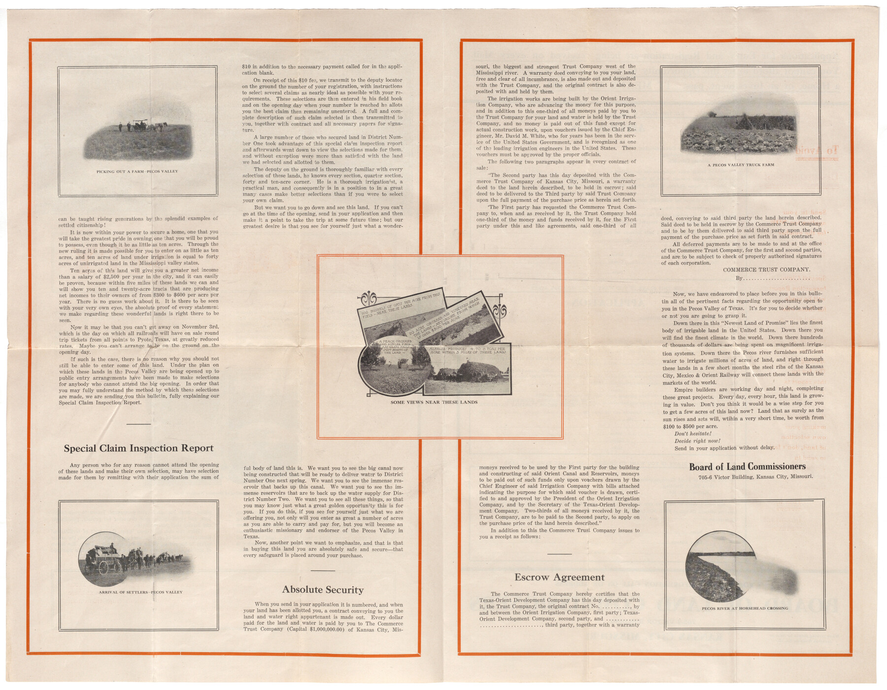
The Newest Land Of Promise - The Pecos Valley in Texas
[verso]
-
Map/Doc
97038
-
Collection
Cobb Digital Map Collection
-
Object Dates
[1900 ca.] (Creation Date)
-
People and Organizations
The Masterson Print Shop (Printer)
-
Height x Width
17.8 x 22.9 inches
45.2 x 58.2 cm
-
Comments
Courtesy of John & Diana Cobb.
See 97037 for recto.
Related maps
The Newest Land Of Promise - The Pecos Valley in Texas


Print $20.00
- Digital $50.00
The Newest Land Of Promise - The Pecos Valley in Texas
1900
Size 17.8 x 22.8 inches
Map/Doc 97037
Part of: Cobb Digital Map Collection
Mileage Map - Best Roads of Texas showing principal cities, pole markings, road distances


Print $20.00
- Digital $50.00
Mileage Map - Best Roads of Texas showing principal cities, pole markings, road distances
1920
Size 12.8 x 16.2 inches
Map/Doc 95898
Souvenir of the Picturesque Alamo City - San Antonio, Texas
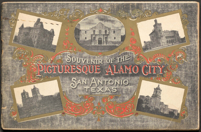

Souvenir of the Picturesque Alamo City - San Antonio, Texas
1908
Map/Doc 96780
Map of the Lower Rio Grande Valley showing Alamo-Donna Farms


Print $20.00
- Digital $50.00
Map of the Lower Rio Grande Valley showing Alamo-Donna Farms
1920
Size 14.0 x 13.4 inches
Map/Doc 95801
[Map of Texas]
![96624, [Map of Texas], Cobb Digital Map Collection](https://historictexasmaps.com/wmedia_w700/maps/96624.tif.jpg)
![96624, [Map of Texas], Cobb Digital Map Collection](https://historictexasmaps.com/wmedia_w700/maps/96624.tif.jpg)
Print $20.00
- Digital $50.00
[Map of Texas]
1869
Size 9.9 x 8.8 inches
Map/Doc 96624
New and Correct Map of the Great Rock Island Route - Chicago, Rock Island, & Pacific Railway


Print $20.00
- Digital $50.00
New and Correct Map of the Great Rock Island Route - Chicago, Rock Island, & Pacific Railway
1892
Size 20.0 x 42.2 inches
Map/Doc 95865
Rand McNally New Official Railroad Map of the United States and Southern Canada


Print $20.00
- Digital $50.00
Rand McNally New Official Railroad Map of the United States and Southern Canada
1910
Size 29.5 x 40.0 inches
Map/Doc 95860
Map of the Texas & Pacific Railway "Gould System" Lines and connections


Print $20.00
- Digital $50.00
Map of the Texas & Pacific Railway "Gould System" Lines and connections
1906
Size 17.7 x 36.6 inches
Map/Doc 95769
What to See - Where to Go in El Paso, Texas
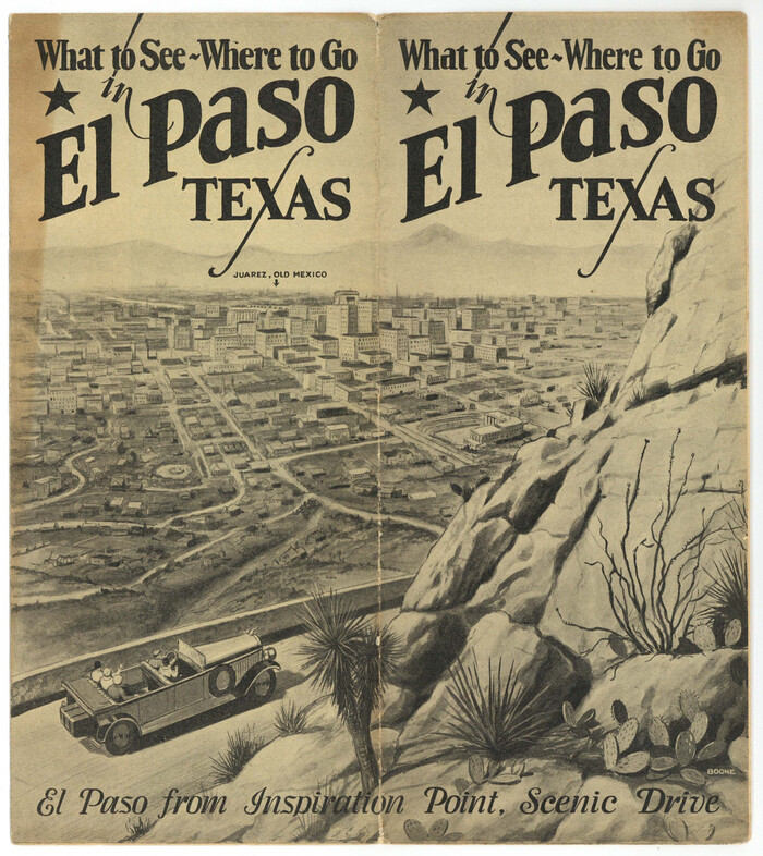

What to See - Where to Go in El Paso, Texas
1929
Size 9.4 x 8.4 inches
Map/Doc 97048
Map of Texas with population and location of principal towns and cities, according to latest reliable statistics


Print $20.00
- Digital $50.00
Map of Texas with population and location of principal towns and cities, according to latest reliable statistics
1906
Size 19.0 x 20.7 inches
Map/Doc 95867
You may also like
Goliad County Sketch File 26a


Print $10.00
- Digital $50.00
Goliad County Sketch File 26a
Size 12.8 x 8.3 inches
Map/Doc 24321
Montgomery County Rolled Sketch 32
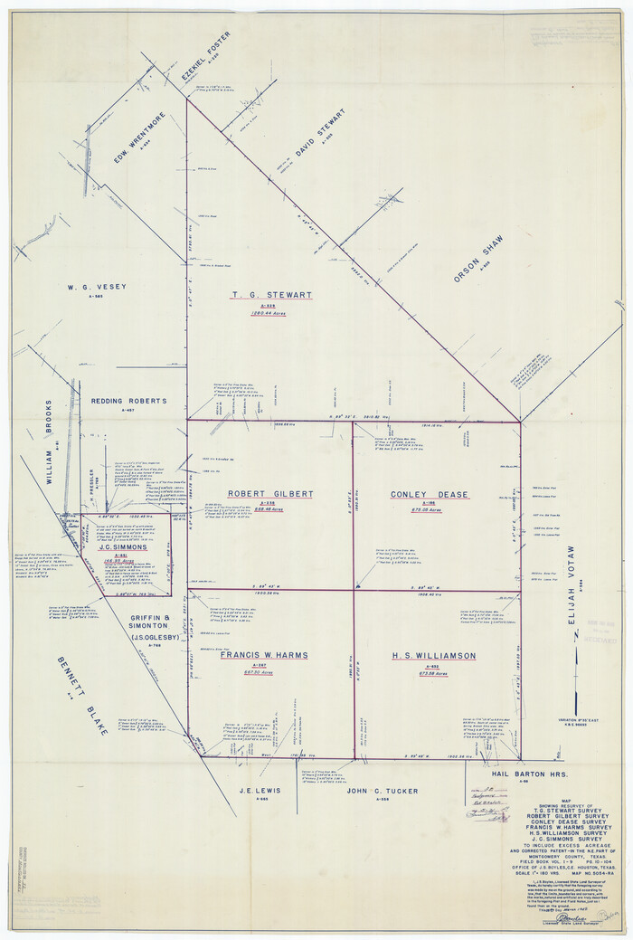

Print $40.00
- Digital $50.00
Montgomery County Rolled Sketch 32
1949
Size 59.9 x 40.4 inches
Map/Doc 9540
Matagorda County Rolled Sketch 37C


Print $20.00
- Digital $50.00
Matagorda County Rolled Sketch 37C
Size 11.6 x 14.3 inches
Map/Doc 10197
Map of Partition Subdivision of A.B. Robertson's Ranch in Crosby and Garza Counties, Texas 1926
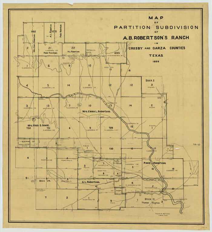

Print $20.00
- Digital $50.00
Map of Partition Subdivision of A.B. Robertson's Ranch in Crosby and Garza Counties, Texas 1926
1926
Size 39.1 x 42.7 inches
Map/Doc 89755
Menard County Rolled Sketch 2A
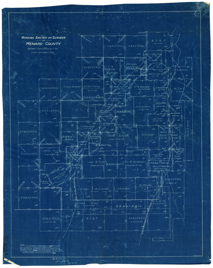

Print $20.00
- Digital $50.00
Menard County Rolled Sketch 2A
1905
Size 23.3 x 18.5 inches
Map/Doc 6753
Denison, Texas, Grayson County 1886


Print $20.00
Denison, Texas, Grayson County 1886
1886
Size 21.1 x 30.5 inches
Map/Doc 93466
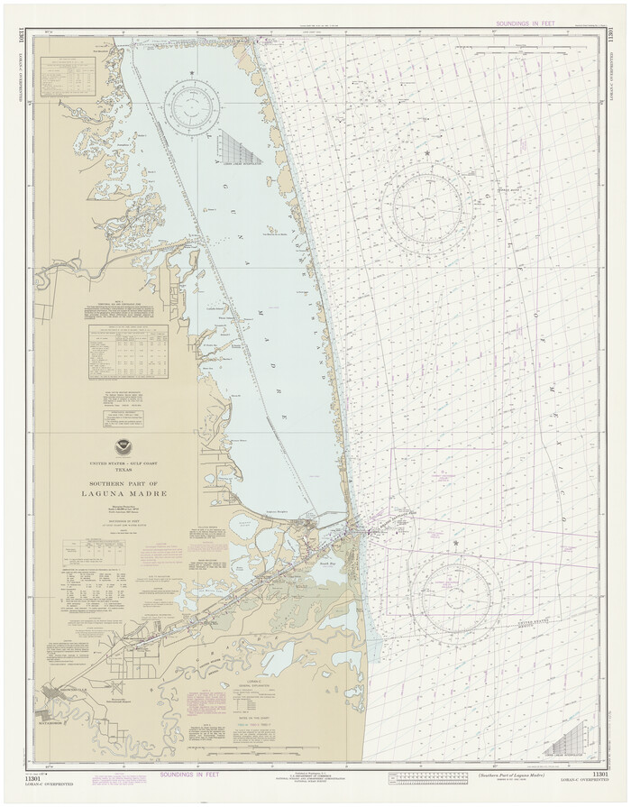
Southern Part of Laguna Madre

Print $20.00
- Digital $50.00
Southern Part of Laguna Madre
1981
Size 45.1 x 35.8 inches
Map/Doc 73546
Hall County Sketch File 32

Print $14.00
- Digital $50.00
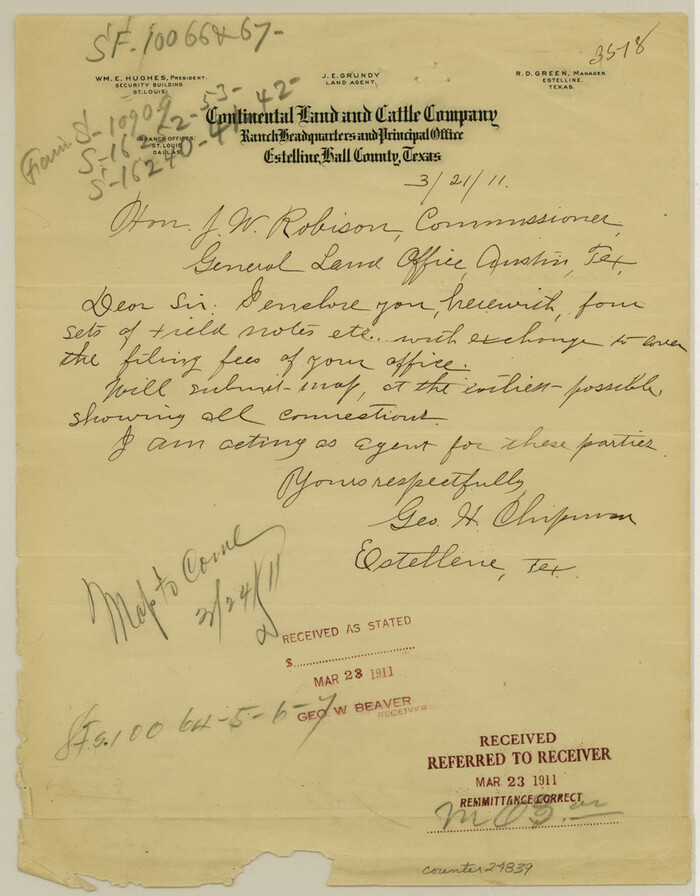
Hall County Sketch File 32
1911
Size 11.2 x 8.8 inches
Map/Doc 24839
Hale County Boundary File 6


Print $40.00
- Digital $50.00
Hale County Boundary File 6
Size 37.9 x 6.8 inches
Map/Doc 54073
Throckmorton County Sketch File 14

Print $16.00
- Digital $50.00
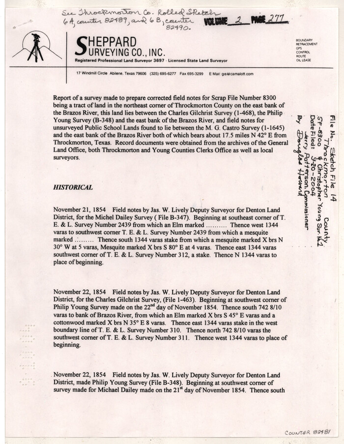
Throckmorton County Sketch File 14
2004
Size 11.0 x 8.5 inches
Map/Doc 82481
Uvalde County Working Sketch 45


Print $20.00
- Digital $50.00
Uvalde County Working Sketch 45
1978
Size 18.5 x 28.2 inches
Map/Doc 72115
Pecos County Working Sketch 49

Print $20.00
- Digital $50.00
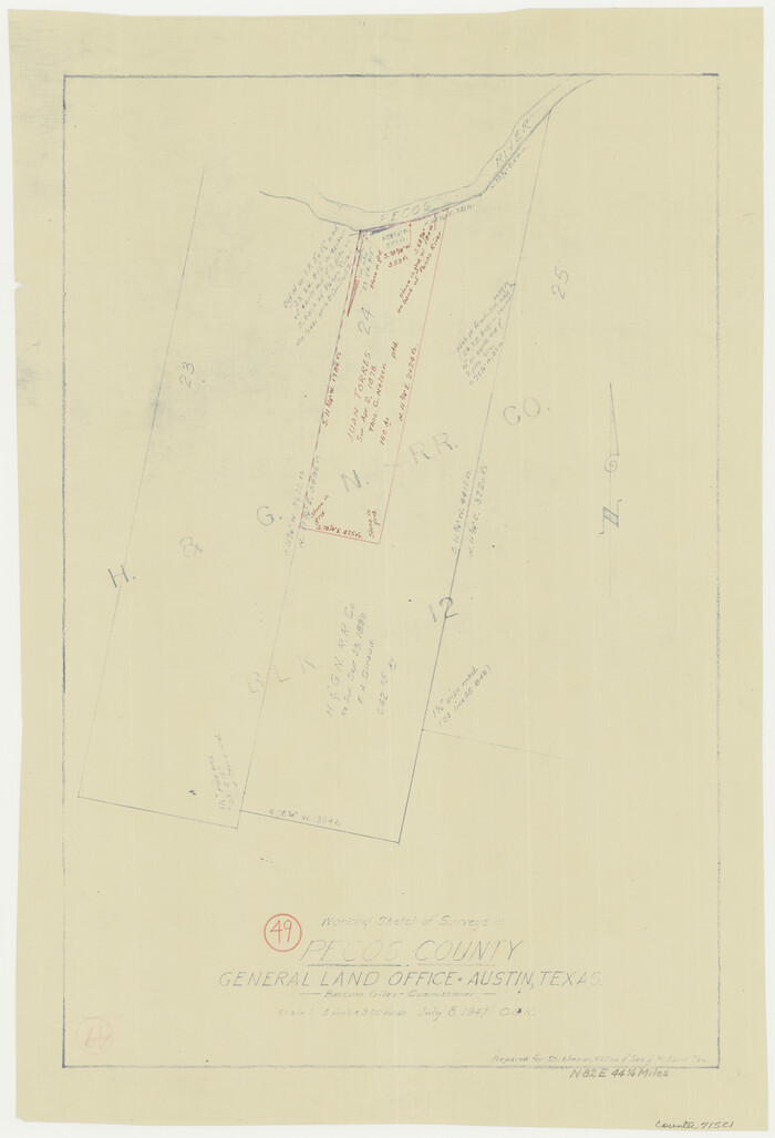
Pecos County Working Sketch 49
1947
Size 22.4 x 15.3 inches
Map/Doc 71521
