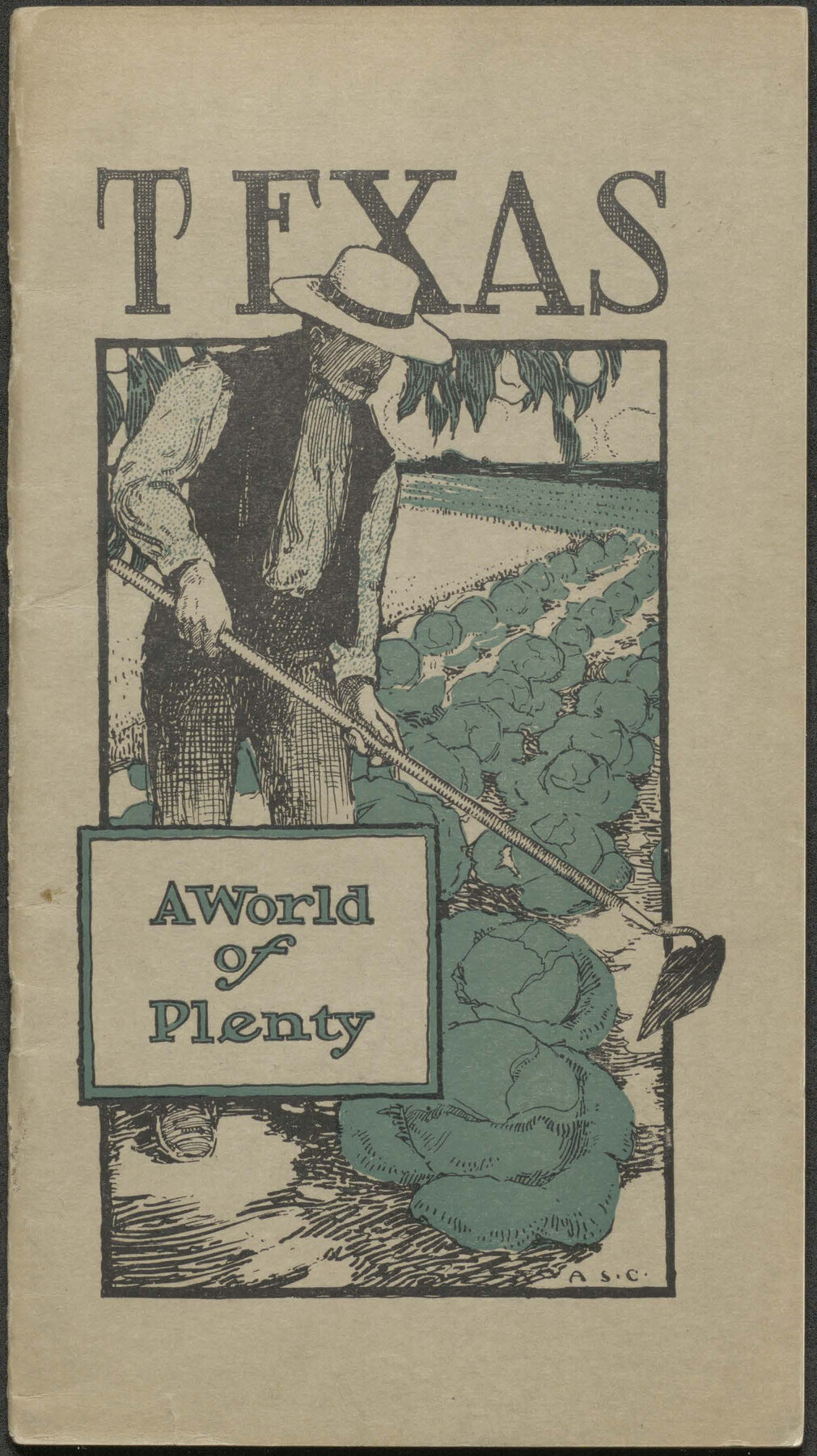
Texas, a World of Plenty
-
Map/Doc
96590
-
Collection
Cobb Digital Map Collection
-
Object Dates
1907 (Creation Date)
-
People and Organizations
Passenger Department, Rock Island Lines (Publisher)
-
Subjects
Bound Volume Railroads
-
Height x Width
9.0 x 5.0 inches
22.9 x 12.7 cm
-
Medium
pdf
-
Comments
Courtesy of John & Diana Cobb.
Part of: Cobb Digital Map Collection
Map of Fort Bend County, Texas

Print $20.00
- Digital $50.00
Map of Fort Bend County, Texas
1897
Size 26.0 x 33.9 inches
Map/Doc 95883
[The Frisco Line - St. Louis & San Francisco Railway through the Great West and South West]
![95794, [The Frisco Line - St. Louis & San Francisco Railway through the Great West and South West], Cobb Digital Map Collection - 1](https://historictexasmaps.com/wmedia_w700/maps/95794.tif.jpg)
Print $20.00
- Digital $50.00
[The Frisco Line - St. Louis & San Francisco Railway through the Great West and South West]
1893
Size 16.8 x 40.2 inches
Map/Doc 95794
Sectional map of Texas traversed by the Missouri, Kansas & Texas Railway, showing the crops adapted to each section, with the elevation and annual rainfall

Print $20.00
- Digital $50.00
Sectional map of Texas traversed by the Missouri, Kansas & Texas Railway, showing the crops adapted to each section, with the elevation and annual rainfall
1904
Size 21.9 x 22.6 inches
Map/Doc 95813

Rand, McNally & Co.'s Texas

Print $20.00
- Digital $50.00
Rand, McNally & Co.'s Texas
1893
Size 21.3 x 28.3 inches
Map/Doc 95842
Irrigation in West Texas - the Pecos and Toyah Valleys

Irrigation in West Texas - the Pecos and Toyah Valleys
1912
Size 9.3 x 4.5 inches
Map/Doc 97072
Sectional map of Texas traversed by the Missouri, Kansas & Texas Railway, showing the crops adapted to each section, with the elevation and annual rainfall

Print $20.00
- Digital $50.00
Sectional map of Texas traversed by the Missouri, Kansas & Texas Railway, showing the crops adapted to each section, with the elevation and annual rainfall
1908
Size 21.8 x 22.8 inches
Map/Doc 95817
Wayside Notes East Bound Along Sunset Route

Wayside Notes East Bound Along Sunset Route
1915
Map/Doc 96718
The MKT - Texas Empire of the South

Print $20.00
- Digital $50.00
The MKT - Texas Empire of the South
1905
Size 18.5 x 40.6 inches
Map/Doc 97035
Map showing those portions of Texas traversed by the Rock Island System and connecting lines

Print $20.00
- Digital $50.00
Map showing those portions of Texas traversed by the Rock Island System and connecting lines
1903
Size 16.4 x 24.0 inches
Map/Doc 96587
Map of Texas with population and location of principal towns and cities, according to latest reliable statistics

Print $20.00
- Digital $50.00
Map of Texas with population and location of principal towns and cities, according to latest reliable statistics
1906
Size 19.0 x 20.7 inches
Map/Doc 95867
Rand, McNally & Co.'s New Official Railroad Map of the United States and Canada

Print $20.00
- Digital $50.00
Rand, McNally & Co.'s New Official Railroad Map of the United States and Canada
1883
Size 28.8 x 43.9 inches
Map/Doc 95857
You may also like

Hardin County Rolled Sketch 17

Print $20.00
- Digital $50.00
Hardin County Rolled Sketch 17
1951
Size 38.3 x 32.4 inches
Map/Doc 6087

Harris County State Real Property Sketch 6

Print $20.00
- Digital $50.00
Harris County State Real Property Sketch 6
Size 23.6 x 35.9 inches
Map/Doc 96641
Flight Mission No. DQO-3K, Frame 37, Galveston County

Print $20.00
- Digital $50.00
Flight Mission No. DQO-3K, Frame 37, Galveston County
1952
Size 18.7 x 22.6 inches
Map/Doc 85078
Flight Mission No. BQR-3K, Frame 157, Brazoria County

Print $20.00
- Digital $50.00
Flight Mission No. BQR-3K, Frame 157, Brazoria County
1952
Size 18.7 x 22.3 inches
Map/Doc 83984
Grayson County

Print $20.00
- Digital $50.00
Grayson County
1885
Size 39.9 x 35.8 inches
Map/Doc 16840
Navigation Maps of Gulf Intracoastal Waterway, Port Arthur to Brownsville, Texas

Print $4.00
- Digital $50.00
Navigation Maps of Gulf Intracoastal Waterway, Port Arthur to Brownsville, Texas
1951
Size 16.6 x 21.4 inches
Map/Doc 65448
Haskell County Rolled Sketch 14

Print $3.00
- Digital $50.00
Haskell County Rolled Sketch 14
1991
Size 11.1 x 17.1 inches
Map/Doc 6172
The Republic County of Montgomery. Spring 1842

Print $20.00
The Republic County of Montgomery. Spring 1842
2020
Size 19.9 x 21.7 inches
Map/Doc 96240
City of Lamesa, Texas

Print $40.00
- Digital $50.00
City of Lamesa, Texas
Size 52.2 x 43.2 inches
Map/Doc 89855
![90573, [Block 3], Twichell Survey Records](https://historictexasmaps.com/wmedia_w700/maps/90573-1.tif.jpg)