[Block 3]
56-39
-
Map/Doc
90573
-
Collection
Twichell Survey Records
-
Counties
Dallam
-
Height x Width
22.9 x 29.6 inches
58.2 x 75.2 cm
Part of: Twichell Survey Records
[Sketch showing H. & T. C. R. R. Co. Blk. 48, S. P. R. R. Co. Blk. I, and E. T. R. R. Co. Blk. I]
![89647, [Sketch showing H. & T. C. R. R. Co. Blk. 48, S. P. R. R. Co. Blk. I, and E. T. R. R. Co. Blk. I], Twichell Survey Records](https://historictexasmaps.com/wmedia_w700/maps/89647-1.tif.jpg)
![89647, [Sketch showing H. & T. C. R. R. Co. Blk. 48, S. P. R. R. Co. Blk. I, and E. T. R. R. Co. Blk. I], Twichell Survey Records](https://historictexasmaps.com/wmedia_w700/maps/89647-1.tif.jpg)
Print $40.00
- Digital $50.00
[Sketch showing H. & T. C. R. R. Co. Blk. 48, S. P. R. R. Co. Blk. I, and E. T. R. R. Co. Blk. I]
Size 51.4 x 9.2 inches
Map/Doc 89647
Lamb-Bailey County Line


Print $40.00
- Digital $50.00
Lamb-Bailey County Line
Size 15.9 x 53.3 inches
Map/Doc 89671
Working Sketch in Archer County
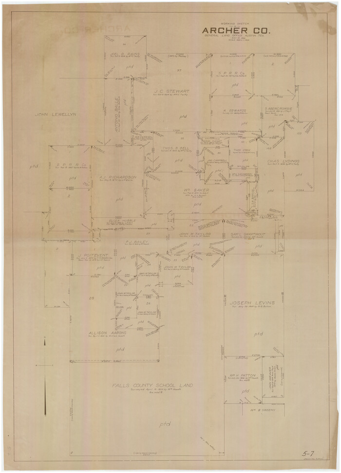

Print $20.00
- Digital $50.00
Working Sketch in Archer County
1924
Size 30.3 x 42.2 inches
Map/Doc 90171
Eastern South America Brazil, Paraguay, Uruguay, and the Guianas
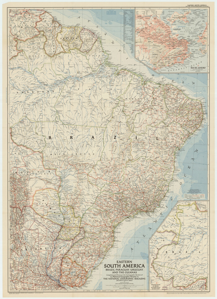

Eastern South America Brazil, Paraguay, Uruguay, and the Guianas
1955
Size 29.8 x 41.2 inches
Map/Doc 92389
W. W. Boatright Subdivision of 5 Acres out of North Half of Survey Number 1, Block Number 36, Township 5 North. Dawson County, Texas


Print $20.00
- Digital $50.00
W. W. Boatright Subdivision of 5 Acres out of North Half of Survey Number 1, Block Number 36, Township 5 North. Dawson County, Texas
1924
Size 18.8 x 24.6 inches
Map/Doc 92590
[Blocks C-25, C-26, C-27, and 29]
![91320, [Blocks C-25, C-26, C-27, and 29], Twichell Survey Records](https://historictexasmaps.com/wmedia_w700/maps/91320-1.tif.jpg)
![91320, [Blocks C-25, C-26, C-27, and 29], Twichell Survey Records](https://historictexasmaps.com/wmedia_w700/maps/91320-1.tif.jpg)
Print $20.00
- Digital $50.00
[Blocks C-25, C-26, C-27, and 29]
Size 23.4 x 27.2 inches
Map/Doc 91320
Ater Heights Section 44, Block AK


Print $20.00
- Digital $50.00
Ater Heights Section 44, Block AK
1952
Size 11.9 x 18.9 inches
Map/Doc 92347
Map of Spearman Lands
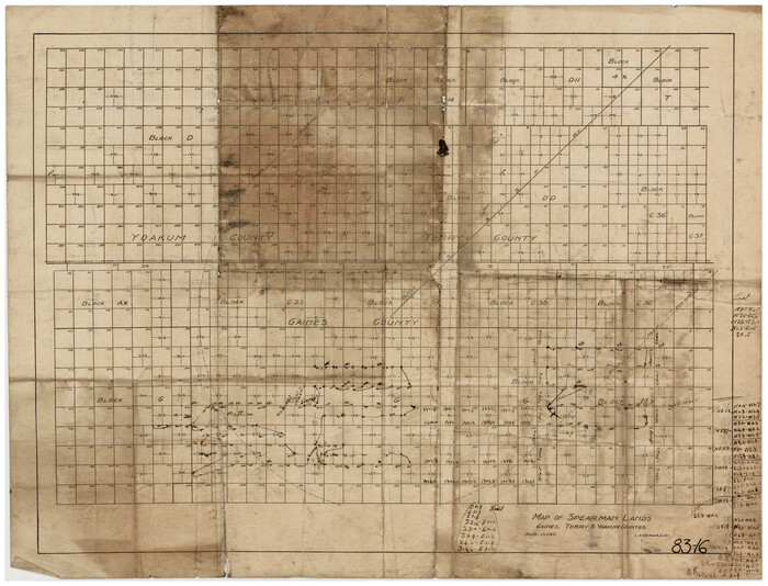

Print $20.00
- Digital $50.00
Map of Spearman Lands
Size 20.1 x 15.3 inches
Map/Doc 90791
Lubbock County Texas
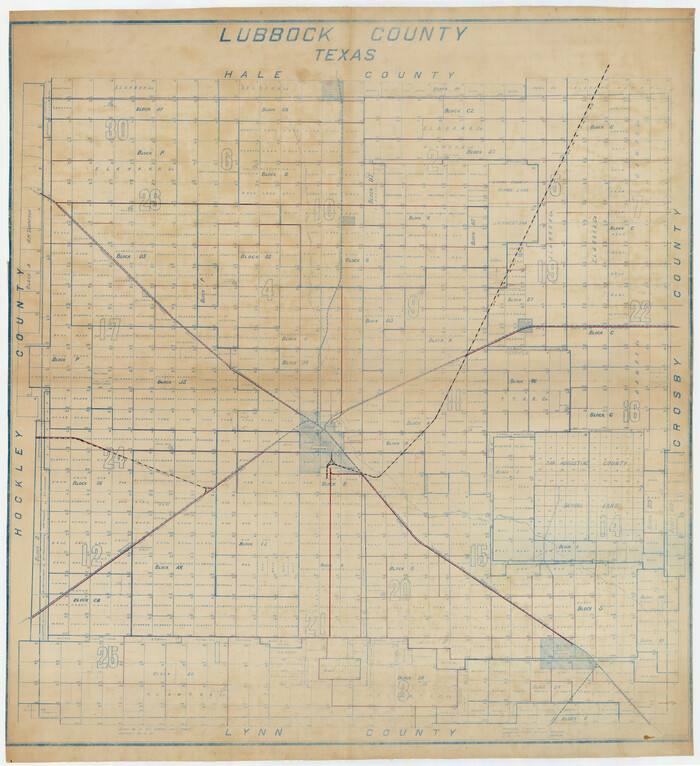

Print $20.00
- Digital $50.00
Lubbock County Texas
Size 42.7 x 46.7 inches
Map/Doc 89892
[Block K5, Section 13]
![91453, [Block K5, Section 13], Twichell Survey Records](https://historictexasmaps.com/wmedia_w700/maps/91453-1.tif.jpg)
![91453, [Block K5, Section 13], Twichell Survey Records](https://historictexasmaps.com/wmedia_w700/maps/91453-1.tif.jpg)
Print $20.00
- Digital $50.00
[Block K5, Section 13]
Size 20.7 x 17.2 inches
Map/Doc 91453
"G" Sketch from Gaines County
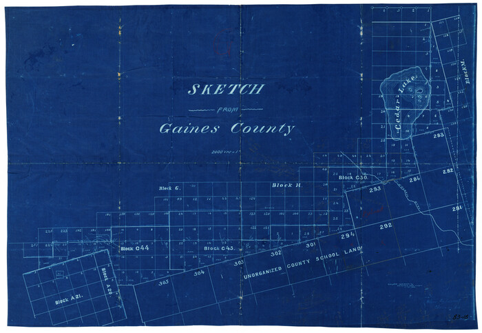

Print $20.00
- Digital $50.00
"G" Sketch from Gaines County
1902
Size 31.6 x 21.8 inches
Map/Doc 90845
[Leagues 615, 616, and vicinity]
![91004, [Leagues 615, 616, and vicinity], Twichell Survey Records](https://historictexasmaps.com/wmedia_w700/maps/91004-1.tif.jpg)
![91004, [Leagues 615, 616, and vicinity], Twichell Survey Records](https://historictexasmaps.com/wmedia_w700/maps/91004-1.tif.jpg)
Print $20.00
- Digital $50.00
[Leagues 615, 616, and vicinity]
Size 12.9 x 12.3 inches
Map/Doc 91004
You may also like
Hutchinson County
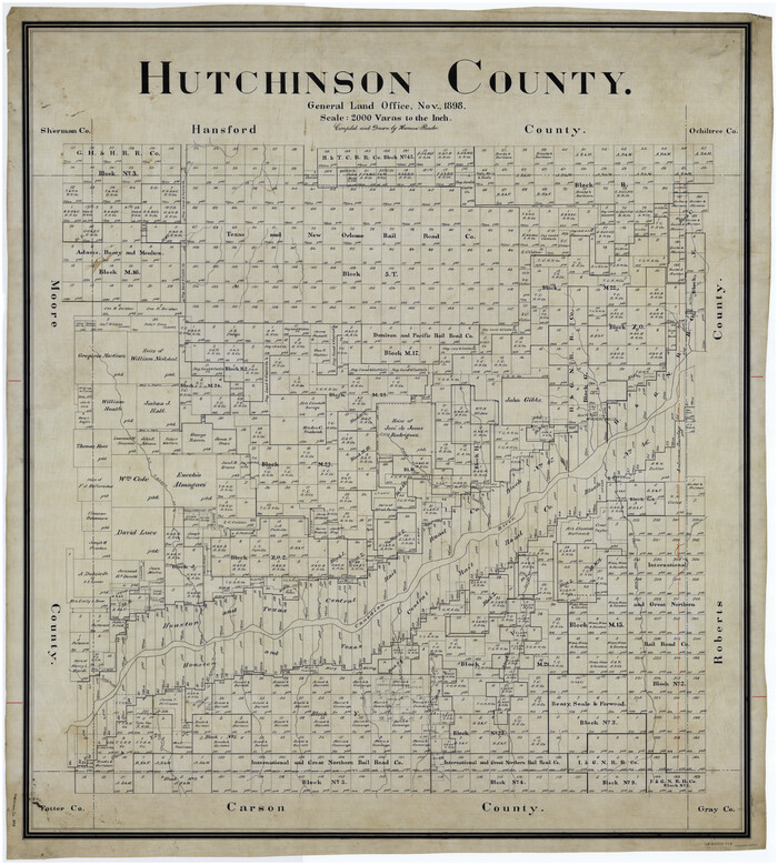

Print $20.00
- Digital $50.00
Hutchinson County
1898
Size 41.8 x 37.6 inches
Map/Doc 66875
Freestone County Working Sketch 12
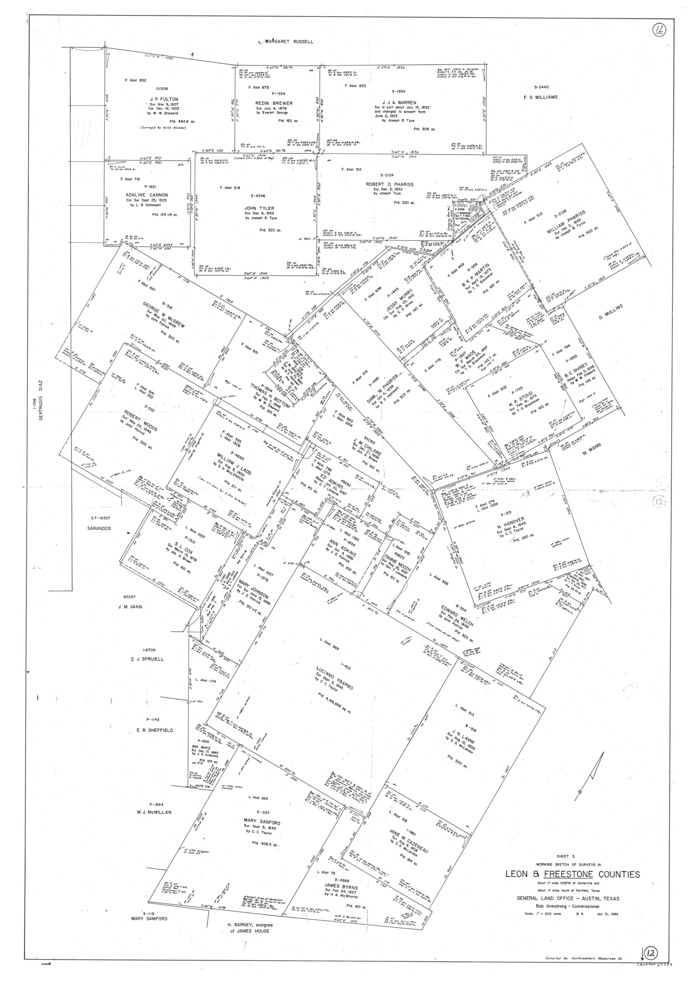

Print $40.00
- Digital $50.00
Freestone County Working Sketch 12
1980
Size 54.5 x 38.6 inches
Map/Doc 69254
Map of the Southern Pacific Rail Road through Harrison County, Texas
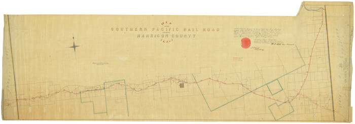

Print $40.00
- Digital $50.00
Map of the Southern Pacific Rail Road through Harrison County, Texas
1860
Size 26.8 x 76.6 inches
Map/Doc 64140
[I. & G. N. Block 1 and surroundings]
![91596, [I. & G. N. Block 1 and surroundings], Twichell Survey Records](https://historictexasmaps.com/wmedia_w700/maps/91596-1.tif.jpg)
![91596, [I. & G. N. Block 1 and surroundings], Twichell Survey Records](https://historictexasmaps.com/wmedia_w700/maps/91596-1.tif.jpg)
Print $20.00
- Digital $50.00
[I. & G. N. Block 1 and surroundings]
1892
Size 18.6 x 25.6 inches
Map/Doc 91596
Bowie County Working Sketch 10b


Print $20.00
- Digital $50.00
Bowie County Working Sketch 10b
1956
Size 31.1 x 37.6 inches
Map/Doc 67414
Plat Showing Parts of Blocks X, Y, and Z, W.D. and F. W. Johnson Subdivision


Print $20.00
- Digital $50.00
Plat Showing Parts of Blocks X, Y, and Z, W.D. and F. W. Johnson Subdivision
1955
Size 25.7 x 16.5 inches
Map/Doc 92501
San Antonio, Texas - The Great Winter Resort of the South


San Antonio, Texas - The Great Winter Resort of the South
1930
Size 6.6 x 3.5 inches
Map/Doc 97046
Live Oak County Sketch File 35
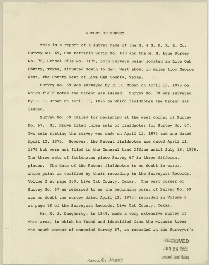

Print $12.00
- Digital $50.00
Live Oak County Sketch File 35
1969
Size 11.0 x 8.7 inches
Map/Doc 30339
[Sketch for Mineral Application 27669 - Trinity River, Frank R. Graves]
![2860, [Sketch for Mineral Application 27669 - Trinity River, Frank R. Graves], General Map Collection](https://historictexasmaps.com/wmedia_w700/maps/2860-1.tif.jpg)
![2860, [Sketch for Mineral Application 27669 - Trinity River, Frank R. Graves], General Map Collection](https://historictexasmaps.com/wmedia_w700/maps/2860-1.tif.jpg)
Print $20.00
- Digital $50.00
[Sketch for Mineral Application 27669 - Trinity River, Frank R. Graves]
1934
Size 27.4 x 42.7 inches
Map/Doc 2860
Fort Bend County Working Sketch 9
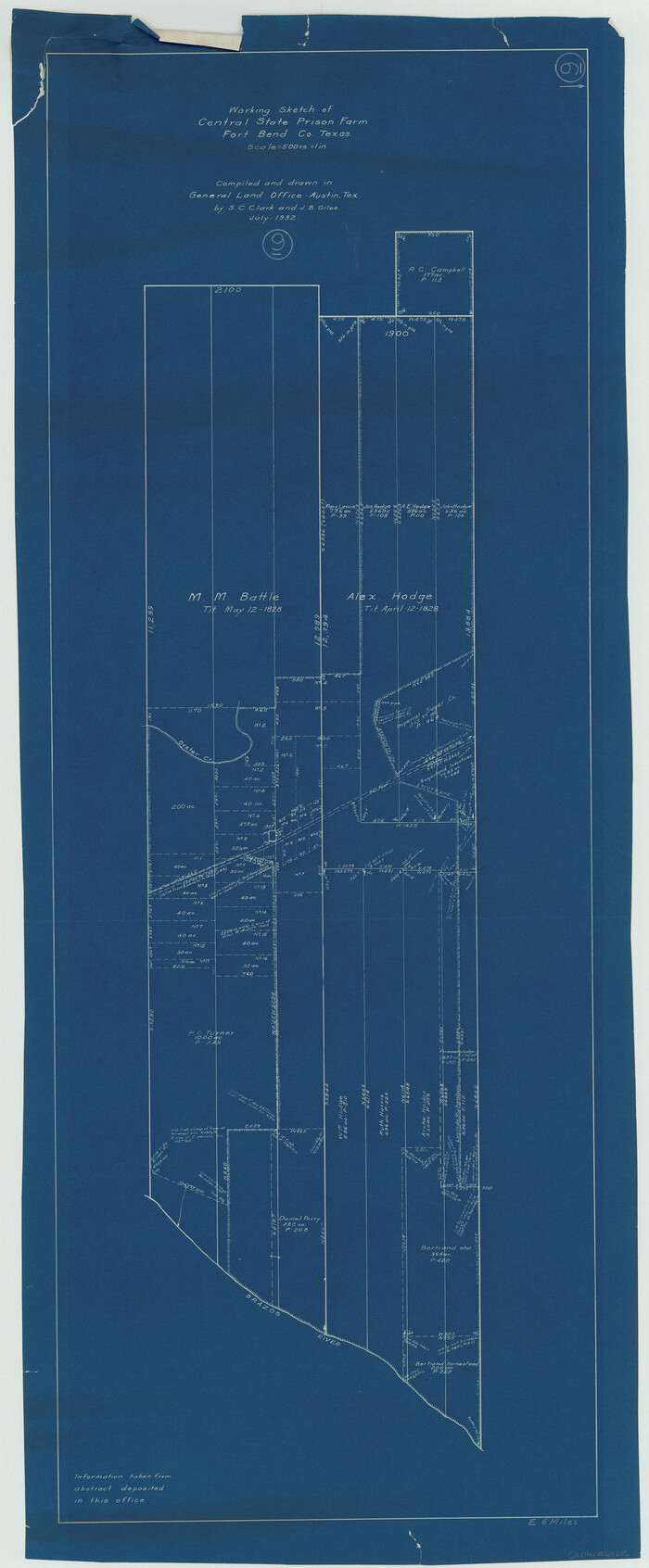

Print $20.00
- Digital $50.00
Fort Bend County Working Sketch 9
1932
Size 38.7 x 16.0 inches
Map/Doc 69215
![90573, [Block 3], Twichell Survey Records](https://historictexasmaps.com/wmedia_w1800h1800/maps/90573-1.tif.jpg)
