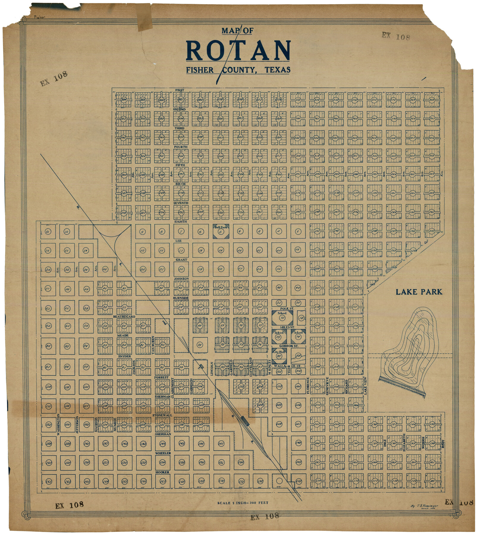
Map of Rotan Fisher County, Texas
EX108
- 
                          Map/Doc93231
- 
                            CollectionTwichell Survey Records
- 
                            Object Dates6/9/1926 (Creation Date)
- 
                            People and OrganizationsT.S. Rominger (Draftsman)
- 
                            CountiesFisher
- 
                            Height x Width32.2 x 36.5 inches81.8 x 92.7 cm
Part of: Twichell Survey Records
            [PSL Blocks Q, U, Y, Z, W]
            
                                    ![90436, [PSL Blocks Q, U, Y, Z, W], Twichell Survey Records](https://historictexasmaps.com/wmedia_w700/maps/90436-1.tif.jpg) 


    ![90436, [PSL Blocks Q, U, Y, Z, W], Twichell Survey Records](https://historictexasmaps.com/wmedia_w700/maps/90436-1.tif.jpg) 
                                
            
                                            Print $20.00                    
                                             -                         Digital $50.00                                    
                [PSL Blocks Q, U, Y, Z, W]
Size 6.6 x 21.7 inches
                                Map/Doc 90436
            
            St Francis situated in Potter and Carson Counties, Texas


                                            Print $20.00                    
                                             -                         Digital $50.00                                    
                St Francis situated in Potter and Carson Counties, Texas
Size 22.0 x 26.1 inches
                                Map/Doc 93109
            
            [Sketch of T.&P. Blocks 31-34, Tsp. 3N & 4N]
            
                                    ![89746, [Sketch of T.&P. Blocks 31-34, Tsp. 3N & 4N], Twichell Survey Records](https://historictexasmaps.com/wmedia_w700/maps/89746-1.tif.jpg) 


    ![89746, [Sketch of T.&P. Blocks 31-34, Tsp. 3N & 4N], Twichell Survey Records](https://historictexasmaps.com/wmedia_w700/maps/89746-1.tif.jpg) 
                                
            
                                            Print $20.00                    
                                             -                         Digital $50.00                                    
                [Sketch of T.&P. Blocks 31-34, Tsp. 3N & 4N]
Size 42.9 x 32.2 inches
                                Map/Doc 89746
            
            Working Sketch in Terrell County


                                            Print $3.00                    
                                             -                         Digital $50.00                                    
                Working Sketch in Terrell County
1927
Size 17.1 x 9.5 inches
                                Map/Doc 92911
            
            [Scripture Addition to the City of Denton]
            
                                    ![90586, [Scripture Addition to the City of Denton], Twichell Survey Records](https://historictexasmaps.com/wmedia_w700/maps/90586-1.tif.jpg) 


    ![90586, [Scripture Addition to the City of Denton], Twichell Survey Records](https://historictexasmaps.com/wmedia_w700/maps/90586-1.tif.jpg) 
                                
            
                                            Print $20.00                    
                                             -                         Digital $50.00                                    
                [Scripture Addition to the City of Denton]
Size 35.4 x 31.4 inches
                                Map/Doc 90586
            
            Working Sketch in Moore County


                                            Print $2.00                    
                                             -                         Digital $50.00                                    
                Working Sketch in Moore County
1909
Size 7.0 x 8.6 inches
                                Map/Doc 91518
            
            [C. C. S. D. & R. G. N. G. RR. Co. Block G, Waxahachie Tap RR. Co. Block G and D. & W. RR. Co. Block H]
            
                                    ![90859, [C. C. S. D. & R. G. N. G. RR. Co. Block G, Waxahachie Tap RR. Co. Block G and D. & W. RR. Co. Block H], Twichell Survey Records](https://historictexasmaps.com/wmedia_w700/maps/90859-2.tif.jpg) 


    ![90859, [C. C. S. D. & R. G. N. G. RR. Co. Block G, Waxahachie Tap RR. Co. Block G and D. & W. RR. Co. Block H], Twichell Survey Records](https://historictexasmaps.com/wmedia_w700/maps/90859-2.tif.jpg) 
                                
            
                                            Print $20.00                    
                                             -                         Digital $50.00                                    
                [C. C. S. D. & R. G. N. G. RR. Co. Block G, Waxahachie Tap RR. Co. Block G and D. & W. RR. Co. Block H]
1915
Size 22.6 x 11.4 inches
                                Map/Doc 90859
            
            [River Secs. 55-79, Archer County School Land League 3 and surrounding surveys]
            
                                    ![90472, [River Secs. 55-79, Archer County School Land League 3 and surrounding surveys], Twichell Survey Records](https://historictexasmaps.com/wmedia_w700/maps/90472-1.tif.jpg) 


    ![90472, [River Secs. 55-79, Archer County School Land League 3 and surrounding surveys], Twichell Survey Records](https://historictexasmaps.com/wmedia_w700/maps/90472-1.tif.jpg) 
                                
            
                                            Print $20.00                    
                                             -                         Digital $50.00                                    
                [River Secs. 55-79, Archer County School Land League 3 and surrounding surveys]
Size 28.3 x 20.4 inches
                                Map/Doc 90472
            
            Borden County Working Sketch of Geo. Spiller's Resurvey of Block 97 made in 1887


                                            Print $3.00                    
                                             -                         Digital $50.00                                    
                Borden County Working Sketch of Geo. Spiller's Resurvey of Block 97 made in 1887
1903
Size 10.1 x 16.6 inches
                                Map/Doc 90211
            You may also like
            Tyler County Boundary File 89


                                            Print $28.00                    
                                             -                         Digital $50.00                                    
                Tyler County Boundary File 89
Size 9.2 x 7.2 inches
                                Map/Doc 59495
            
            Harris County Sketch File 93


                                            Print $20.00                    
                                             -                         Digital $50.00                                    
                Harris County Sketch File 93
1952
Size 33.0 x 14.5 inches
                                Map/Doc 11676
            
            The Republic County of San Patricio. December 31, 1838


                                            Print $20.00                    
                                    
                The Republic County of San Patricio. December 31, 1838
2020
Size 22.2 x 21.7 inches
                                Map/Doc 96275
            
            Deaf Smith County Working Sketch 5


                                            Print $40.00                    
                                             -                         Digital $50.00                                    
                Deaf Smith County Working Sketch 5
1983
Size 37.0 x 53.9 inches
                                Map/Doc 68645
            
            Brewster County Working Sketch 59


                                            Print $20.00                    
                                             -                         Digital $50.00                                    
                Brewster County Working Sketch 59
1955
Size 24.6 x 19.0 inches
                                Map/Doc 67660
            
            Young County Working Sketch 11


                                            Print $40.00                    
                                             -                         Digital $50.00                                    
                Young County Working Sketch 11
1921
Size 17.2 x 126.4 inches
                                Map/Doc 62034
            
            Galveston County NRC Article 33.136 Sketch 65


                                            Print $28.00                    
                                             -                         Digital $50.00                                    
                Galveston County NRC Article 33.136 Sketch 65
2012
Size 24.0 x 36.0 inches
                                Map/Doc 93328
            
            Copy of Surveyor's Field Book, Morris Browning - In Blocks 7, 5 & 4, I&GNRRCo., Hutchinson and Carson Counties, Texas


                                            Print $2.00                    
                                             -                         Digital $50.00                                    
                Copy of Surveyor's Field Book, Morris Browning - In Blocks 7, 5 & 4, I&GNRRCo., Hutchinson and Carson Counties, Texas
1888
Size 6.9 x 8.8 inches
                                Map/Doc 62283
            
            Shelby County Working Sketch 25


                                            Print $20.00                    
                                             -                         Digital $50.00                                    
                Shelby County Working Sketch 25
1948
Size 23.5 x 36.2 inches
                                Map/Doc 63879
            
            Nueces County Sketch File 45


                                            Print $6.00                    
                                             -                         Digital $50.00                                    
                Nueces County Sketch File 45
Size 11.1 x 8.6 inches
                                Map/Doc 32641
            
            East Part of Jeff Davis Co.


                                            Print $20.00                    
                                             -                         Digital $50.00                                    
                East Part of Jeff Davis Co.
1977
Size 47.9 x 36.9 inches
                                Map/Doc 95544
            
            [Overlay for Fractional Township No. 7 South Range No. 17 East of the Indian Meridian, Indian Territory]
            
                                    ![75230, [Overlay for Fractional Township No. 7 South Range No. 17 East of the Indian Meridian, Indian Territory], General Map Collection](https://historictexasmaps.com/wmedia_w700/maps/75230.tif.jpg) 


    ![75230, [Overlay for Fractional Township No. 7 South Range No. 17 East of the Indian Meridian, Indian Territory], General Map Collection](https://historictexasmaps.com/wmedia_w700/maps/75230.tif.jpg) 
                                
            
                                            Print $3.00                    
                                             -                         Digital $50.00                                    
                [Overlay for Fractional Township No. 7 South Range No. 17 East of the Indian Meridian, Indian Territory]
Size 11.2 x 11.7 inches
                                Map/Doc 75230
             
                        ![92619, [Hart Townsite], Twichell Survey Records](https://historictexasmaps.com/wmedia_w700/maps/92619-1.tif.jpg) 
                                 
                                