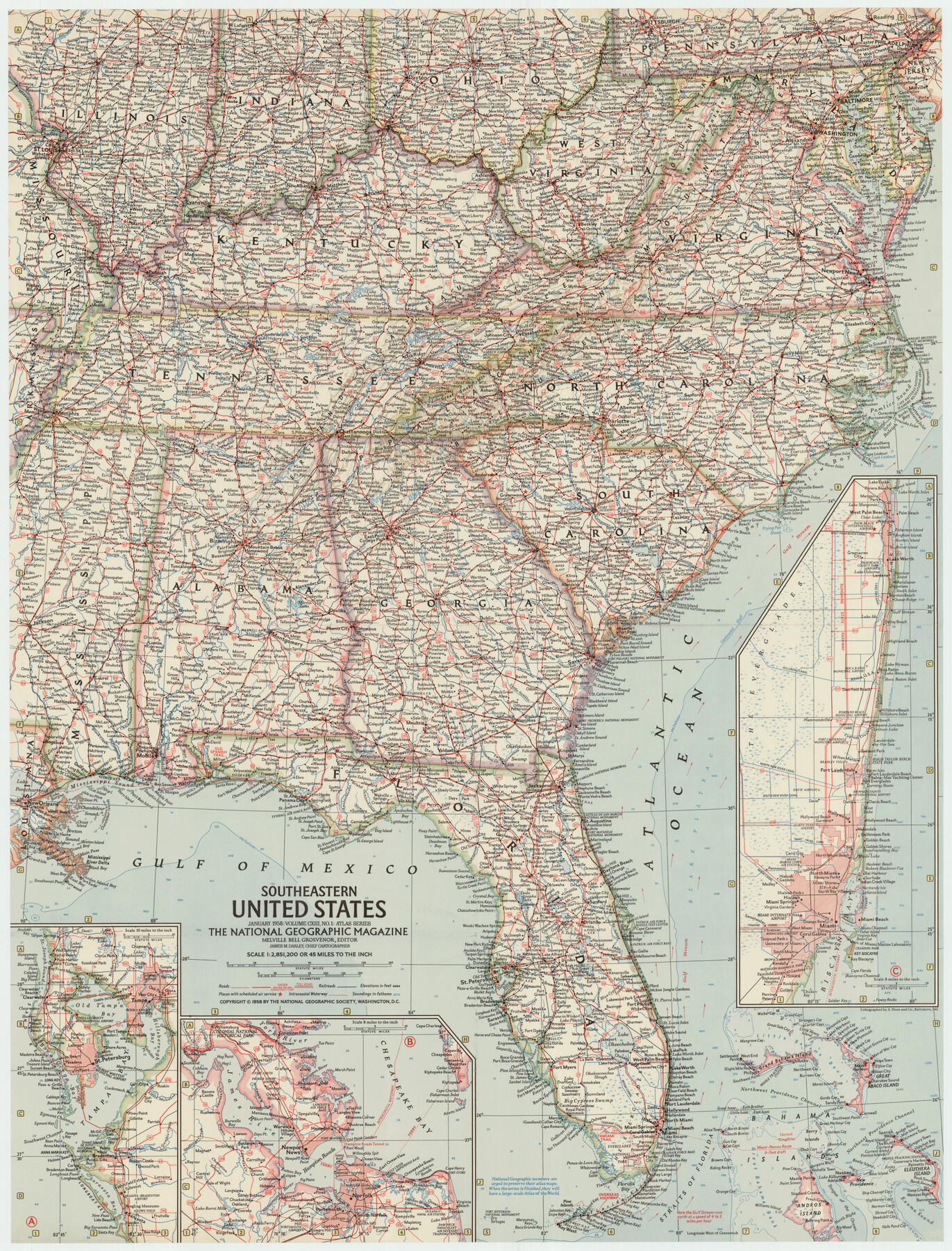
Southeastern United States
-
Map/Doc
92369
-
Collection
Twichell Survey Records
-
Object Dates
1/1958 (Creation Date)
-
People and Organizations
National Geographic Society (Compiler)
-
Subjects
United States
-
Height x Width
19.8 x 25.7 inches
50.3 x 65.3 cm
-
Comments
For research only. Not available for duplication from the GLO.
Part of: Twichell Survey Records
[Sketch showing Blocks B-11, O-18, P and Mc in case of Laneer vs. Bivens]
![91726, [Sketch showing Blocks B-11, O-18, P and Mc in case of Laneer vs. Bivens], Twichell Survey Records](https://historictexasmaps.com/wmedia_w700/maps/91726-1.tif.jpg)
Print $20.00
- Digital $50.00
[Sketch showing Blocks B-11, O-18, P and Mc in case of Laneer vs. Bivens]
Size 21.2 x 18.6 inches
Map/Doc 91726
Sketch in Bailey County

Print $20.00
- Digital $50.00
Sketch in Bailey County
Size 15.6 x 33.5 inches
Map/Doc 92476
Sketch in Crockett County, Texas

Print $20.00
- Digital $50.00
Sketch in Crockett County, Texas
1924
Size 34.4 x 47.8 inches
Map/Doc 92606
Plat Showing Positions of Blocks S, I, and X02 and Unsurveyed Area

Print $20.00
- Digital $50.00
Plat Showing Positions of Blocks S, I, and X02 and Unsurveyed Area
1928
Size 12.0 x 12.6 inches
Map/Doc 92194
Correct Map of Lamb County, Texas

Print $40.00
- Digital $50.00
Correct Map of Lamb County, Texas
1914
Size 47.1 x 57.1 inches
Map/Doc 89954

Working Sketch in Crockett County

Print $20.00
- Digital $50.00
Working Sketch in Crockett County
1923
Size 23.2 x 29.6 inches
Map/Doc 90315
Part of Fisher County [around Bastrop County School Land Leagues 313 and 314, Thos. H. Cosby League 315 and El Paso County School Land League 316]
![90820, Part of Fisher County [around Bastrop County School Land Leagues 313 and 314, Thos. H. Cosby League 315 and El Paso County School Land League 316], Twichell Survey Records](https://historictexasmaps.com/wmedia_w700/maps/90820-2.tif.jpg)
Print $20.00
- Digital $50.00
Part of Fisher County [around Bastrop County School Land Leagues 313 and 314, Thos. H. Cosby League 315 and El Paso County School Land League 316]
1883
Size 20.0 x 24.7 inches
Map/Doc 90820
[Lamb County, Block A]
![90991, [Lamb County, Block A], Twichell Survey Records](https://historictexasmaps.com/wmedia_w700/maps/90991-1.tif.jpg)
Print $20.00
- Digital $50.00
[Lamb County, Block A]
Size 22.9 x 17.9 inches
Map/Doc 90991
[Map of Counties South of Panhandle from Parmer to Childress in North to Andrews to Eastland in the South]
![92098, [Map of Counties South of Panhandle from Parmer to Childress in North to Andrews to Eastland in the South], Twichell Survey Records](https://historictexasmaps.com/wmedia_w700/maps/92098-2.tif.jpg)
Print $3.00
- Digital $50.00
[Map of Counties South of Panhandle from Parmer to Childress in North to Andrews to Eastland in the South]
Size 14.9 x 10.7 inches
Map/Doc 92098
Map Showing the Relative Positions of the Various Surveys Delineated Thereon

Print $20.00
- Digital $50.00
Map Showing the Relative Positions of the Various Surveys Delineated Thereon
Size 23.0 x 18.6 inches
Map/Doc 91500
Udell -V- Hughes Sketch

Print $20.00
- Digital $50.00
Udell -V- Hughes Sketch
Size 28.8 x 19.4 inches
Map/Doc 90481
You may also like
The Republic County of Victoria. Boundaries Refined, January 25, 1841

Print $20.00
The Republic County of Victoria. Boundaries Refined, January 25, 1841
2020
Size 19.3 x 21.8 inches
Map/Doc 96297
Connected Map of Austin's Colony

Print $40.00
- Digital $50.00
Connected Map of Austin's Colony
1837
Size 93.2 x 43.7 inches
Map/Doc 93377
Galveston County Rolled Sketch 27B

Print $20.00
- Digital $50.00
Galveston County Rolled Sketch 27B
Size 13.1 x 10.4 inches
Map/Doc 5963
Travis County Working Sketch 6

Print $20.00
- Digital $50.00
Travis County Working Sketch 6
1913
Size 28.9 x 20.6 inches
Map/Doc 69390
Matagorda County Sketch File 37

Print $4.00
- Digital $50.00
Matagorda County Sketch File 37
Size 11.3 x 8.8 inches
Map/Doc 30830

Navarro County Sketch File 21

Print $4.00
- Digital $50.00
Navarro County Sketch File 21
1859
Size 9.0 x 8.4 inches
Map/Doc 32350
Hill County Boundary File 45b

Print $60.00
- Digital $50.00
Hill County Boundary File 45b
Size 7.8 x 3.7 inches
Map/Doc 54772
Jackson County Aerial Photograph Index Sheet 6

Print $20.00
- Digital $50.00
Jackson County Aerial Photograph Index Sheet 6
1956
Size 21.2 x 15.7 inches
Map/Doc 83705
Robertson County Working Sketch 12

Print $20.00
- Digital $50.00
Robertson County Working Sketch 12
1984
Size 20.6 x 22.4 inches
Map/Doc 63585
PSL Field Notes for Blocks C1, C2, and C3 in Pecos and Reeves Counties and Blocks C4 through C10 in Reeves County

PSL Field Notes for Blocks C1, C2, and C3 in Pecos and Reeves Counties and Blocks C4 through C10 in Reeves County
Map/Doc 81671
Duval County Sketch File 70

Print $4.00
- Digital $50.00
Duval County Sketch File 70
1953
Size 14.2 x 9.0 inches
Map/Doc 21456