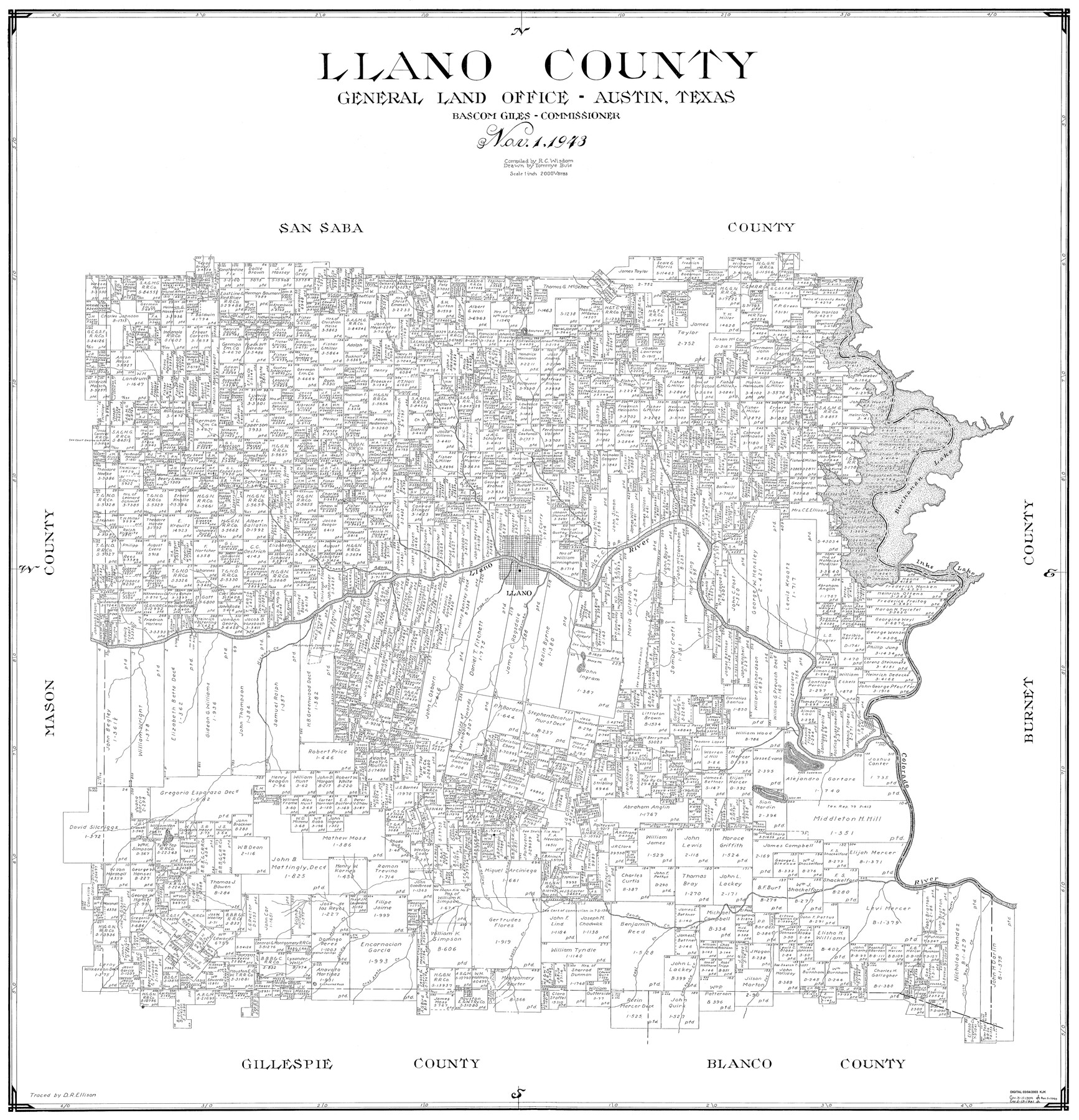
Llano County
-
Map/Doc
77357
-
Collection
General Map Collection
-
Object Dates
11/1/1943 (Creation Date)
-
People and Organizations
Tommye Buie (Draftsman)
R.C. Wisdom (Compiler)
-
Counties
Llano
-
Subjects
County
-
Height x Width
42.4 x 40.9 inches
107.7 x 103.9 cm
Part of: General Map Collection
Upshur County Working Sketch 10

Print $20.00
- Digital $50.00
Upshur County Working Sketch 10
1969
Size 42.1 x 37.0 inches
Map/Doc 69566
Ochiltree County Boundary File 1c

Print $2.00
- Digital $50.00
Ochiltree County Boundary File 1c
Size 10.6 x 8.1 inches
Map/Doc 57674
Flight Mission No. BRA-6M, Frame 89, Jefferson County

Print $20.00
- Digital $50.00
Flight Mission No. BRA-6M, Frame 89, Jefferson County
1953
Size 18.6 x 22.4 inches
Map/Doc 85432
Garza County Sketch File F

Print $20.00
- Digital $50.00
Garza County Sketch File F
Size 9.8 x 18.9 inches
Map/Doc 11553
Glasscock County Rolled Sketch 18

Print $20.00
- Digital $50.00
Glasscock County Rolled Sketch 18
Size 24.2 x 24.0 inches
Map/Doc 96576
Harris County Sketch File 102

Print $163.00
- Digital $50.00
Harris County Sketch File 102
1985
Size 11.4 x 8.9 inches
Map/Doc 25915
Right of Way and Track Map for The Missouri, Kansas & Texas Railway of Texas

Print $40.00
- Digital $50.00
Right of Way and Track Map for The Missouri, Kansas & Texas Railway of Texas
1918
Size 25.9 x 56.0 inches
Map/Doc 64527
Donley County Sketch File B6

Print $20.00
- Digital $50.00
Donley County Sketch File B6
1919
Size 16.5 x 14.6 inches
Map/Doc 11376
Flight Mission No. BQY-4M, Frame 30, Harris County

Print $20.00
- Digital $50.00
Flight Mission No. BQY-4M, Frame 30, Harris County
1953
Size 18.7 x 22.4 inches
Map/Doc 85245
Jack County Boundary File 3a

Print $50.00
- Digital $50.00
Jack County Boundary File 3a
Size 8.7 x 7.4 inches
Map/Doc 55413
Louisiana and Texas Intracoastal Waterway

Print $20.00
- Digital $50.00
Louisiana and Texas Intracoastal Waterway
1929
Size 13.6 x 19.6 inches
Map/Doc 83342
Portion of States Submerged Area in Matagorda Bay

Print $20.00
- Digital $50.00
Portion of States Submerged Area in Matagorda Bay
1921
Size 15.7 x 15.1 inches
Map/Doc 2950
You may also like
Garza County Working Sketch 1

Print $20.00
- Digital $50.00
Garza County Working Sketch 1
1902
Size 39.3 x 25.6 inches
Map/Doc 63148
Floyd County Boundary File 3

Print $4.00
- Digital $50.00
Floyd County Boundary File 3
Size 14.4 x 8.9 inches
Map/Doc 53492
Guadalupe County Sketch File 5

Print $4.00
- Digital $50.00
Guadalupe County Sketch File 5
1871
Size 8.1 x 10.0 inches
Map/Doc 24659

Flight Mission No. BQR-20K, Frame 3, Brazoria County

Print $20.00
- Digital $50.00
Flight Mission No. BQR-20K, Frame 3, Brazoria County
1952
Size 18.6 x 22.2 inches
Map/Doc 84105
Bell County Sketch File 13

Print $4.00
- Digital $50.00
Bell County Sketch File 13
1854
Size 9.3 x 8.1 inches
Map/Doc 14390
West Part of Edwards County

Print $40.00
- Digital $50.00
West Part of Edwards County
1975
Size 59.9 x 39.7 inches
Map/Doc 95489
Culberson County Working Sketch 81

Print $40.00
- Digital $50.00
Culberson County Working Sketch 81
1980
Size 61.5 x 43.5 inches
Map/Doc 68535
Parker County Working Sketch 1

Print $20.00
- Digital $50.00
Parker County Working Sketch 1
Size 22.6 x 17.0 inches
Map/Doc 71451

General Highway Map, Dallam County, Texas

Print $20.00
General Highway Map, Dallam County, Texas
1961
Size 24.6 x 18.3 inches
Map/Doc 79428
Stonewall County Working Sketch 29

Print $40.00
- Digital $50.00
Stonewall County Working Sketch 29
1979
Size 48.5 x 43.0 inches
Map/Doc 62336