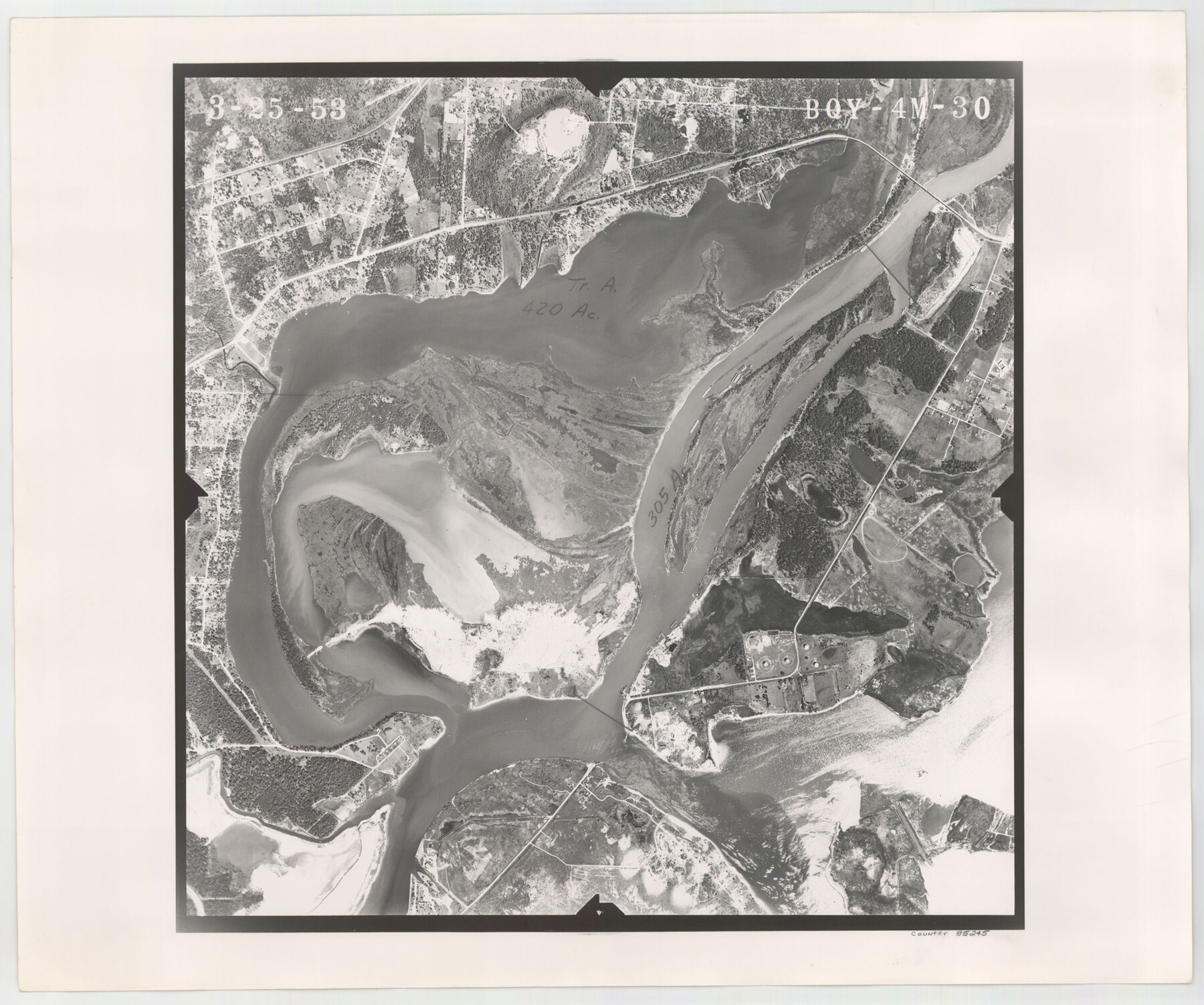
Flight Mission No. BQY-4M, Frame 30, Harris County
BQY-4M-30
-
Map/Doc
85245
-
Collection
General Map Collection
-
Object Dates
1953/3/25 (Creation Date)
-
People and Organizations
U. S. Department of Agriculture (Publisher)
-
Counties
Harris
-
Subjects
Aerial Photograph
-
Height x Width
18.7 x 22.4 inches
47.5 x 56.9 cm
-
Comments
Flown by Jack Ammann Photogrammetric Engineers of San Antonio, Texas.
Part of: General Map Collection
Stieler Map of 1879

Print $4.00
- Digital $50.00
Stieler Map of 1879
1879
Size 28.9 x 23.0 inches
Map/Doc 76055
Kaufman County Sketch File 18

Print $10.00
- Digital $50.00
Kaufman County Sketch File 18
1936
Size 11.4 x 8.8 inches
Map/Doc 28661

San Jacinto County Working Sketch 43

Print $20.00
- Digital $50.00
San Jacinto County Working Sketch 43
1981
Size 36.4 x 45.5 inches
Map/Doc 63757
Laguna Madre, T-9209

Print $20.00
- Digital $50.00
Laguna Madre, T-9209
Size 34.0 x 30.8 inches
Map/Doc 73600
Galveston County Sketch File 11a

Print $4.00
- Digital $50.00
Galveston County Sketch File 11a
1877
Size 7.8 x 8.4 inches
Map/Doc 23376
Cameron County Rolled Sketch 20A

Print $20.00
- Digital $50.00
Cameron County Rolled Sketch 20A
Size 12.5 x 23.1 inches
Map/Doc 5471
Dickens County Rolled Sketch C

Print $20.00
- Digital $50.00
Dickens County Rolled Sketch C
1895
Size 20.5 x 25.5 inches
Map/Doc 5710
Waller County Sketch File 11

Print $40.00
- Digital $50.00
Waller County Sketch File 11
1913
Size 16.6 x 14.3 inches
Map/Doc 39614
Culberson County Working Sketch 78

Print $40.00
- Digital $50.00
Culberson County Working Sketch 78
1976
Size 51.8 x 36.2 inches
Map/Doc 68532
Flight Mission No. CLL-1N, Frame 83, Willacy County

Print $20.00
- Digital $50.00
Flight Mission No. CLL-1N, Frame 83, Willacy County
1954
Size 18.3 x 22.0 inches
Map/Doc 87029
Grimes County Rolled Sketch 2

Print $20.00
- Digital $50.00
Grimes County Rolled Sketch 2
Size 29.2 x 24.3 inches
Map/Doc 6043
You may also like
Kerr County Sketch File 8

Print $4.00
- Digital $50.00
Kerr County Sketch File 8
1882
Size 12.6 x 8.1 inches
Map/Doc 28871
Smith County Rolled Sketch 6A2

Print $40.00
- Digital $50.00
Smith County Rolled Sketch 6A2
1934
Size 48.7 x 36.7 inches
Map/Doc 10702
General Highway Map, Refugio County, Texas

Print $20.00
General Highway Map, Refugio County, Texas
1961
Size 18.1 x 24.7 inches
Map/Doc 79639
Map of La Salle County

Print $20.00
- Digital $50.00
Map of La Salle County
1877
Size 29.7 x 21.6 inches
Map/Doc 3796
Map of Spearman Lands

Print $20.00
- Digital $50.00
Map of Spearman Lands
Size 20.4 x 15.6 inches
Map/Doc 90834
Chambers County Rolled Sketch 14

Print $20.00
- Digital $50.00
Chambers County Rolled Sketch 14
1935
Size 33.3 x 41.7 inches
Map/Doc 8616
Moore County Working Sketch 10

Print $20.00
- Digital $50.00
Moore County Working Sketch 10
1951
Size 34.9 x 31.5 inches
Map/Doc 71192

Red River County Sketch File 4

Print $6.00
- Digital $50.00
Red River County Sketch File 4
Size 9.3 x 11.5 inches
Map/Doc 35100
Jim Hogg County Working Sketch 12

Print $20.00
- Digital $50.00
Jim Hogg County Working Sketch 12
1984
Size 17.4 x 15.2 inches
Map/Doc 66598
Map of Chocolate Bay, west portion of West Bay & vicinity, Brazoria & Galveston Counties showing subdivision for mineral development

Print $40.00
- Digital $50.00
Map of Chocolate Bay, west portion of West Bay & vicinity, Brazoria & Galveston Counties showing subdivision for mineral development
1948
Size 42.2 x 55.2 inches
Map/Doc 2974
Flight Mission No. BQR-14K, Frame 40, Brazoria County

Print $20.00
- Digital $50.00
Flight Mission No. BQR-14K, Frame 40, Brazoria County
1952
Size 18.7 x 22.3 inches
Map/Doc 84097