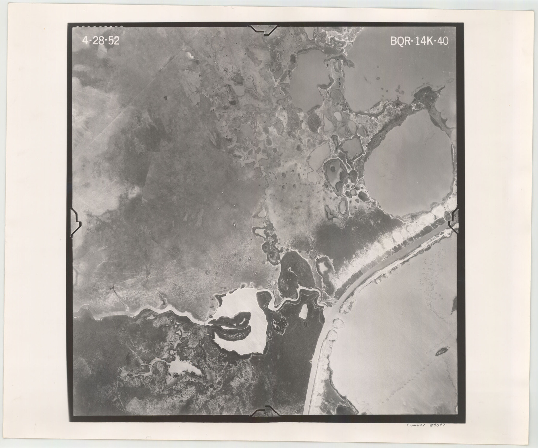
Flight Mission No. BQR-14K, Frame 40, Brazoria County
BQR-14K-40
-
Map/Doc
84097
-
Collection
General Map Collection
-
Object Dates
1952/4/28 (Creation Date)
-
People and Organizations
U. S. Department of Agriculture (Publisher)
-
Counties
Brazoria
-
Subjects
Aerial Photograph
-
Height x Width
18.7 x 22.3 inches
47.5 x 56.6 cm
-
Comments
Flown by Aero Exploration Company of Tulsa, Oklahoma.
Part of: General Map Collection
Dawson County Rolled Sketch 12

Print $20.00
- Digital $50.00
Dawson County Rolled Sketch 12
1965
Size 15.6 x 33.2 inches
Map/Doc 5695
Flight Mission No. CUG-1P, Frame 23, Kleberg County

Print $20.00
- Digital $50.00
Flight Mission No. CUG-1P, Frame 23, Kleberg County
1956
Size 18.5 x 22.1 inches
Map/Doc 86113
Flight Mission No. CRC-3R, Frame 24, Chambers County

Print $20.00
- Digital $50.00
Flight Mission No. CRC-3R, Frame 24, Chambers County
1956
Size 18.6 x 22.2 inches
Map/Doc 84798
Map of a Part of Robertson Colony

Print $20.00
- Digital $50.00
Map of a Part of Robertson Colony
1843
Size 32.2 x 22.6 inches
Map/Doc 168
San Saba County Sketch File 6

Print $6.00
- Digital $50.00
San Saba County Sketch File 6
1881
Size 10.9 x 8.4 inches
Map/Doc 36414
Coke County Rolled Sketch 12A

Print $20.00
- Digital $50.00
Coke County Rolled Sketch 12A
1949
Size 21.1 x 23.4 inches
Map/Doc 5513
Matagorda Bay and Approaches

Print $20.00
- Digital $50.00
Matagorda Bay and Approaches
1974
Size 35.1 x 44.6 inches
Map/Doc 73386
Sutton County Sketch File 14

Print $20.00
- Digital $50.00
Sutton County Sketch File 14
1924
Size 17.8 x 20.0 inches
Map/Doc 12380
Calhoun County Rolled Sketch 35

Print $20.00
- Digital $50.00
Calhoun County Rolled Sketch 35
1929
Size 36.2 x 25.6 inches
Map/Doc 5378
Map of San Saba County

Print $20.00
- Digital $50.00
Map of San Saba County
1858
Size 21.6 x 23.5 inches
Map/Doc 4019
Stephens County Working Sketch 19

Print $40.00
- Digital $50.00
Stephens County Working Sketch 19
1969
Size 48.8 x 42.7 inches
Map/Doc 63962
Upton County Rolled Sketch 45

Print $20.00
- Digital $50.00
Upton County Rolled Sketch 45
Size 25.1 x 43.8 inches
Map/Doc 8081
You may also like
[Surveys in Williamson County]
![78374, [Surveys in Williamson County], General Map Collection](https://historictexasmaps.com/wmedia_w700/maps/78374.tif.jpg)
Print $2.00
- Digital $50.00
[Surveys in Williamson County]
1846
Size 9.2 x 11.8 inches
Map/Doc 78374
Flight Mission No. CLL-3N, Frame 42, Willacy County

Print $20.00
- Digital $50.00
Flight Mission No. CLL-3N, Frame 42, Willacy County
1954
Size 18.5 x 22.1 inches
Map/Doc 87100
PSL Field Notes for Blocks C36 and C37 in Gaines and Terry Counties, Block C38 in Dawson, Gaines, and Terry Counties, Blocks C39 and C41 in Dawson and Terry Counties, Block K in Yoakum and Terry Counties

PSL Field Notes for Blocks C36 and C37 in Gaines and Terry Counties, Block C38 in Dawson, Gaines, and Terry Counties, Blocks C39 and C41 in Dawson and Terry Counties, Block K in Yoakum and Terry Counties
Map/Doc 81674

Uvalde County Sketch File 32

Print $12.00
- Digital $50.00
Uvalde County Sketch File 32
2008
Size 8.5 x 11.0 inches
Map/Doc 89025
Matagorda County Rolled Sketch 20

Print $20.00
- Digital $50.00
Matagorda County Rolled Sketch 20
1938
Size 25.1 x 30.6 inches
Map/Doc 6688
A Map of Dallas County

Print $20.00
- Digital $50.00
A Map of Dallas County
1855
Size 18.4 x 18.8 inches
Map/Doc 3465
Tyler County Sketch File 20

Print $6.00
- Digital $50.00
Tyler County Sketch File 20
1851
Size 6.9 x 5.8 inches
Map/Doc 38674
[Capitol Land Leagues and Blocks M6, 10T, T1, O5 and part of Block B]
![93194, [Capitol Land Leagues and Blocks M6, 10T, T1, O5 and part of Block B], Twichell Survey Records](https://historictexasmaps.com/wmedia_w700/maps/93194-1.tif.jpg)
Print $40.00
- Digital $50.00
[Capitol Land Leagues and Blocks M6, 10T, T1, O5 and part of Block B]
Size 43.7 x 105.6 inches
Map/Doc 93194
Chocolate Bayou, Texas showing proposed connection from its mouth to West Galveston Bay for a Light Draft Navigation

Print $20.00
- Digital $50.00
Chocolate Bayou, Texas showing proposed connection from its mouth to West Galveston Bay for a Light Draft Navigation
Size 13.2 x 20.4 inches
Map/Doc 96557
Flight Mission No. CRC-3R, Frame 100, Chambers County

Print $20.00
- Digital $50.00
Flight Mission No. CRC-3R, Frame 100, Chambers County
1956
Size 18.6 x 22.3 inches
Map/Doc 84838
Matagorda County NRC Article 33.136 Location Key Sheet

Print $20.00
- Digital $50.00
Matagorda County NRC Article 33.136 Location Key Sheet
1995
Size 27.0 x 23.0 inches
Map/Doc 87910