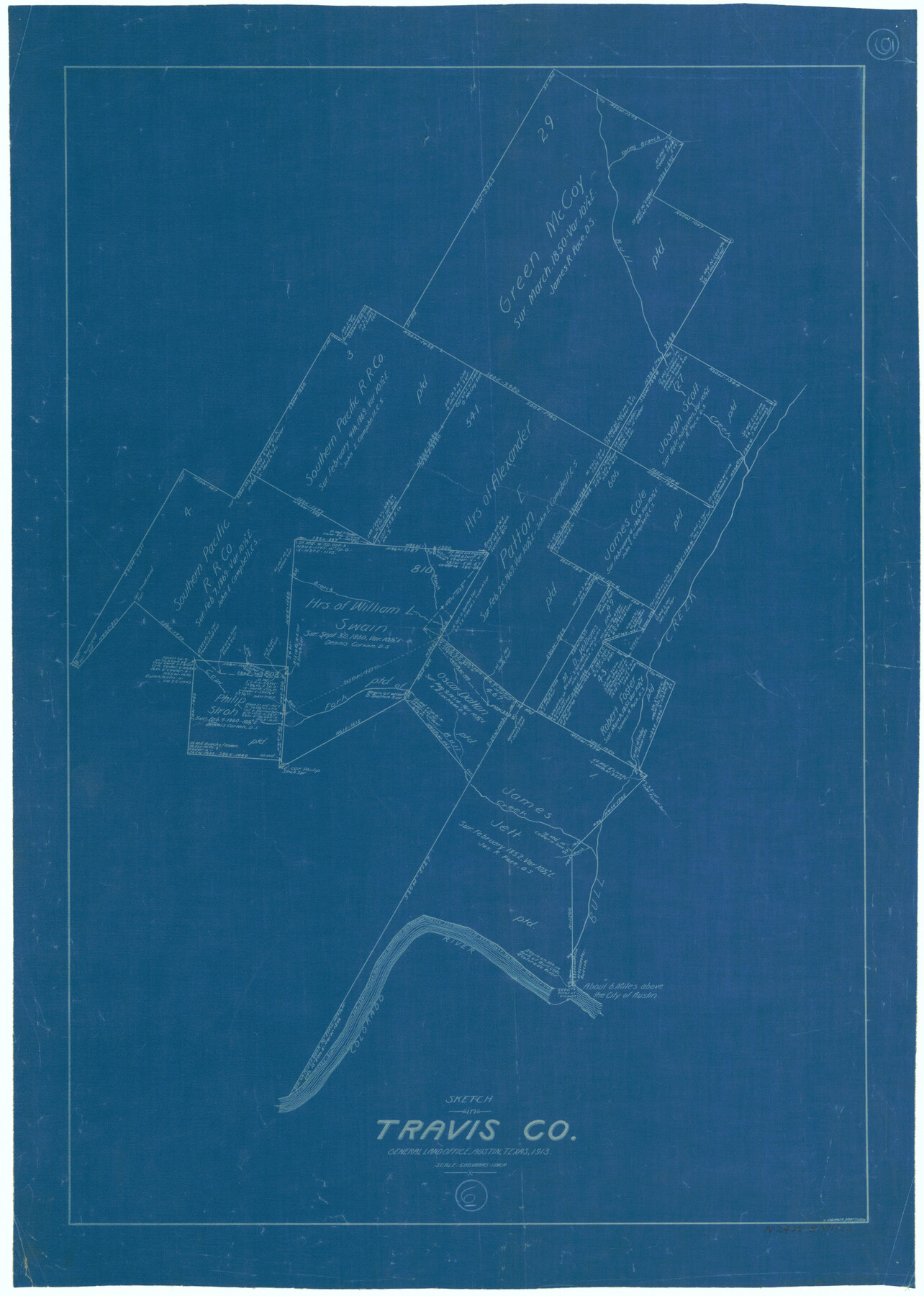
Travis County Working Sketch 6
-
Map/Doc
69390
-
Collection
General Map Collection
-
Object Dates
1913 (Creation Date)
-
People and Organizations
L. Ehlinger (Draftsman)
-
Counties
Travis
-
Subjects
Surveying Working Sketch
-
Height x Width
28.9 x 20.6 inches
73.4 x 52.3 cm
-
Scale
1" = 500 varas
Part of: General Map Collection
Childress County Sketch File 3

Print $30.00
- Digital $50.00
Childress County Sketch File 3
1885
Size 14.1 x 8.6 inches
Map/Doc 18245
Map of Surveys made in Fisher and Miller's Colony

Print $40.00
- Digital $50.00
Map of Surveys made in Fisher and Miller's Colony
1848
Size 48.4 x 57.7 inches
Map/Doc 16830
Jasper County Working Sketch 21

Print $20.00
- Digital $50.00
Jasper County Working Sketch 21
1941
Size 13.1 x 21.4 inches
Map/Doc 66483
Railroad Track Map, H&TCRRCo., Falls County, Texas

Print $4.00
- Digital $50.00
Railroad Track Map, H&TCRRCo., Falls County, Texas
1918
Size 11.8 x 18.6 inches
Map/Doc 62840
Flight Mission No. BRE-1P, Frame 99, Nueces County

Print $20.00
- Digital $50.00
Flight Mission No. BRE-1P, Frame 99, Nueces County
1956
Size 18.4 x 22.2 inches
Map/Doc 86670
Pecos County Rolled Sketch 22

Print $20.00
- Digital $50.00
Pecos County Rolled Sketch 22
1886
Size 24.3 x 37.0 inches
Map/Doc 93455
Floyd County Sketch File 25

Print $14.00
- Digital $50.00
Floyd County Sketch File 25
1912
Size 11.5 x 9.0 inches
Map/Doc 22782
Flight Mission No. CUG-2P, Frame 66, Kleberg County

Print $20.00
- Digital $50.00
Flight Mission No. CUG-2P, Frame 66, Kleberg County
1956
Size 18.5 x 22.2 inches
Map/Doc 86203
Terrell County Rolled Sketch 44

Print $20.00
- Digital $50.00
Terrell County Rolled Sketch 44
1952
Size 18.3 x 22.9 inches
Map/Doc 7947
Flight Mission No. BRE-3P, Frame 81, Nueces County

Print $20.00
- Digital $50.00
Flight Mission No. BRE-3P, Frame 81, Nueces County
1956
Size 18.6 x 22.4 inches
Map/Doc 86822
Bosque County Sketch File 18

Print $4.00
- Digital $50.00
Bosque County Sketch File 18
1863
Size 13.5 x 8.4 inches
Map/Doc 14792
Flight Mission No. BRA-7M, Frame 23, Jefferson County

Print $20.00
- Digital $50.00
Flight Mission No. BRA-7M, Frame 23, Jefferson County
1953
Size 18.6 x 22.4 inches
Map/Doc 85474
You may also like
Yoakum County Sketch File 21

Print $2.00
- Digital $50.00
Yoakum County Sketch File 21
2005
Size 8.5 x 14.0 inches
Map/Doc 83597
Map of San Patricio County

Print $40.00
- Digital $50.00
Map of San Patricio County
1896
Size 29.1 x 48.7 inches
Map/Doc 1336
[E. L. & R. R. Block 10]
![91353, [E. L. & R. R. Block 10], Twichell Survey Records](https://historictexasmaps.com/wmedia_w700/maps/91353-1.tif.jpg)
Print $20.00
- Digital $50.00
[E. L. & R. R. Block 10]
Size 25.3 x 16.5 inches
Map/Doc 91353
[Surveys in Austin's Colony along Buffalo Bayou and the San Jacinto River]
![51, [Surveys in Austin's Colony along Buffalo Bayou and the San Jacinto River], General Map Collection](https://historictexasmaps.com/wmedia_w700/maps/51.tif.jpg)
Print $20.00
- Digital $50.00
[Surveys in Austin's Colony along Buffalo Bayou and the San Jacinto River]
1824
Size 23.7 x 17.6 inches
Map/Doc 51
Martin County Working Sketch 14

Print $20.00
- Digital $50.00
Martin County Working Sketch 14
1972
Size 39.6 x 22.6 inches
Map/Doc 70832
Brazos River, Brazos River Sheet 3

Print $6.00
- Digital $50.00
Brazos River, Brazos River Sheet 3
1926
Size 21.8 x 34.6 inches
Map/Doc 65296
Map of the Fort Worth & Denver City Railway

Print $20.00
- Digital $50.00
Map of the Fort Worth & Denver City Railway
1887
Size 19.3 x 15.1 inches
Map/Doc 64434
Val Verde County Rolled Sketch 57

Print $40.00
- Digital $50.00
Val Verde County Rolled Sketch 57
1947
Size 53.6 x 48.9 inches
Map/Doc 10077
South Part of Brewster Co.

Print $40.00
- Digital $50.00
South Part of Brewster Co.
1955
Size 48.2 x 40.5 inches
Map/Doc 73089
Hays County Sketch File 35

Print $4.00
- Digital $50.00
Hays County Sketch File 35
1873
Size 12.8 x 8.2 inches
Map/Doc 26277
East Half of Section 58. W. C. RR. Co. Block 3

Print $20.00
- Digital $50.00
East Half of Section 58. W. C. RR. Co. Block 3
1952
Size 8.7 x 18.8 inches
Map/Doc 92594
Lamar County Working Sketch 7

Print $20.00
- Digital $50.00
Lamar County Working Sketch 7
1964
Size 18.7 x 17.6 inches
Map/Doc 70268