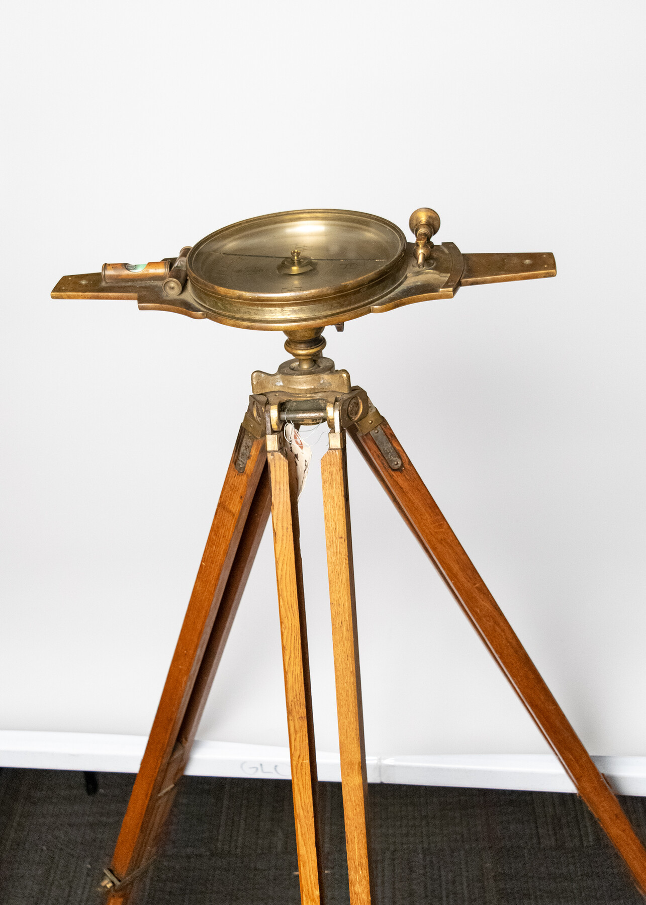
Wooden tripod
-
Map/Doc
97380
-
Collection
Equipment and Tools
-
Object Dates
11/12/2024 (Donation Date)
-
People and Organizations
Don T. King (Donor)
Part of: Equipment and Tools


Metal Straight Edge Scale 1/20,000 Yard

Metal Straight Edge Scale 1/20,000 Yard
Size 24.0 x 1.6 inches
Map/Doc 97323


You may also like
Menard County Working Sketch 23

Print $20.00
- Digital $50.00
Menard County Working Sketch 23
1950
Size 45.1 x 41.3 inches
Map/Doc 70970
El Paso County Rolled Sketch 40

Print $20.00
- Digital $50.00
El Paso County Rolled Sketch 40
1930
Size 11.6 x 16.8 inches
Map/Doc 5826
Brown County Sketch File 29

Print $6.00
- Digital $50.00
Brown County Sketch File 29
1924
Size 14.3 x 8.9 inches
Map/Doc 16628
Controlled Mosaic by Jack Amman Photogrammetric Engineers, Inc - Sheet 57

Print $20.00
- Digital $50.00
Controlled Mosaic by Jack Amman Photogrammetric Engineers, Inc - Sheet 57
1954
Size 20.0 x 24.0 inches
Map/Doc 83516
Marion County Sketch File 16

Print $20.00
- Digital $50.00
Marion County Sketch File 16
1954
Size 22.9 x 23.2 inches
Map/Doc 12025
Hood County Sketch File 5

Print $4.00
- Digital $50.00
Hood County Sketch File 5
1884
Size 9.1 x 5.7 inches
Map/Doc 26577
[Area around Runnels County School Land and I. & G. N. Block 1]
![91664, [Area around Runnels County School Land and I. & G. N. Block 1], Twichell Survey Records](https://historictexasmaps.com/wmedia_w700/maps/91664-1.tif.jpg)
Print $20.00
- Digital $50.00
[Area around Runnels County School Land and I. & G. N. Block 1]
Size 23.0 x 17.9 inches
Map/Doc 91664
Mills County Boundary File 3a

Print $48.00
- Digital $50.00
Mills County Boundary File 3a
Size 14.2 x 8.8 inches
Map/Doc 57287
Jack County Boundary File 3

Print $10.00
- Digital $50.00
Jack County Boundary File 3
Size 9.2 x 4.0 inches
Map/Doc 55408

North Part Brewster Co.

Print $20.00
- Digital $50.00
North Part Brewster Co.
1904
Size 37.0 x 46.9 inches
Map/Doc 66727
Subdivision of Alexander Ranch, Cochran County, Texas

Print $20.00
- Digital $50.00
Subdivision of Alexander Ranch, Cochran County, Texas
Size 15.4 x 29.8 inches
Map/Doc 92496