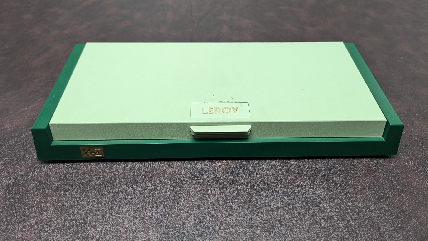
Lettering Set
Manufacturer: Keuffel & Esser State Inventory Tag: 305-7094 Case: Light green and dark green plastic Manufacture Location: Parsippany, NJ
-
Map/Doc
97339
-
Collection
Equipment and Tools
-
Object Dates
1981 (Creation Date)
-
Height x Width
1.9 x 16.5 inches
4.8 x 41.9 cm
-
Medium
Surveying Equipment
Part of: Equipment and Tools


Hewlett-Packard 32E scientific calculator

Hewlett-Packard 32E scientific calculator
1978
Map/Doc 97318


Dietzgen Globe Wooden 24" T Square

Dietzgen Globe Wooden 24" T Square
Size 26.0 x 9.3 inches
Map/Doc 97324

Wooden Arrow with metal arrowhead

Wooden Arrow with metal arrowhead
Size 31.5 x 0.0 inches
Map/Doc 97334
You may also like
Hamilton County Boundary File 5

Print $35.00
- Digital $50.00
Hamilton County Boundary File 5
Size 11.1 x 8.6 inches
Map/Doc 54217
Map of Jack County

Print $20.00
- Digital $50.00
Map of Jack County
1868
Size 23.8 x 19.8 inches
Map/Doc 3701
General Highway Map, Wilson County, Texas

Print $20.00
General Highway Map, Wilson County, Texas
1961
Size 18.0 x 24.6 inches
Map/Doc 79715
Crockett County Rolled Sketch 16

Print $20.00
- Digital $50.00
Crockett County Rolled Sketch 16
1880
Size 36.2 x 26.2 inches
Map/Doc 5581
McLennan County Sketch File 1b

Print $4.00
- Digital $50.00
McLennan County Sketch File 1b
Size 8.3 x 8.1 inches
Map/Doc 31228
McMullen County Sketch File 32-33

Print $16.00
- Digital $50.00
McMullen County Sketch File 32-33
1875
Size 10.1 x 8.0 inches
Map/Doc 31392
Coleman County Sketch File 4a

Print $20.00
- Digital $50.00
Coleman County Sketch File 4a
1873
Size 12.4 x 20.9 inches
Map/Doc 11118
Knox County Sketch File 23

Print $20.00
- Digital $50.00
Knox County Sketch File 23
1931
Size 21.4 x 15.3 inches
Map/Doc 11963
Sketch from Reeves and Pecos Co's.

Print $20.00
- Digital $50.00
Sketch from Reeves and Pecos Co's.
Size 35.1 x 26.1 inches
Map/Doc 91779

[R. M. Thompson Block T2 and John H. Stephens Block S2 Conflict]
![91056, [R. M. Thompson Block T2 and John H. Stephens Block S2 Conflict], Twichell Survey Records](https://historictexasmaps.com/wmedia_w700/maps/91056-1.tif.jpg)
Print $20.00
- Digital $50.00
[R. M. Thompson Block T2 and John H. Stephens Block S2 Conflict]
Size 20.9 x 30.6 inches
Map/Doc 91056
Montague County Working Sketch 18

Print $20.00
- Digital $50.00
Montague County Working Sketch 18
1948
Size 27.9 x 21.4 inches
Map/Doc 71084