[R. M. Thompson Block T2 and John H. Stephens Block S2 Conflict]
140-39
-
Map/Doc
91056
-
Collection
Twichell Survey Records
-
Counties
Lamb
-
Height x Width
20.9 x 30.6 inches
53.1 x 77.7 cm
Part of: Twichell Survey Records
[Sketch of Survey 9, Block Z3]
![93091, [Sketch of Survey 9, Block Z3], Twichell Survey Records](https://historictexasmaps.com/wmedia_w700/maps/93091-1.tif.jpg)
![93091, [Sketch of Survey 9, Block Z3], Twichell Survey Records](https://historictexasmaps.com/wmedia_w700/maps/93091-1.tif.jpg)
Print $2.00
- Digital $50.00
[Sketch of Survey 9, Block Z3]
Size 7.0 x 6.9 inches
Map/Doc 93091
[Township 2 North, Blocks 32 and 33]
![91212, [Township 2 North, Blocks 32 and 33], Twichell Survey Records](https://historictexasmaps.com/wmedia_w700/maps/91212-1.tif.jpg)
![91212, [Township 2 North, Blocks 32 and 33], Twichell Survey Records](https://historictexasmaps.com/wmedia_w700/maps/91212-1.tif.jpg)
Print $3.00
- Digital $50.00
[Township 2 North, Blocks 32 and 33]
Size 11.8 x 10.8 inches
Map/Doc 91212
Jeff Davis Co.
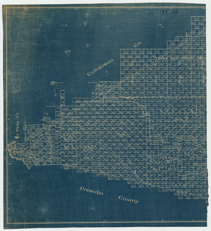

Print $20.00
- Digital $50.00
Jeff Davis Co.
1915
Size 26.1 x 28.3 inches
Map/Doc 92175
Temple Morrow Irrigated Farm South Half of Section 1, Block D6
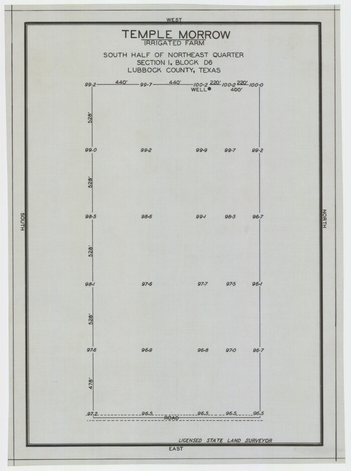

Print $3.00
- Digital $50.00
Temple Morrow Irrigated Farm South Half of Section 1, Block D6
Size 9.5 x 12.8 inches
Map/Doc 92311
[Leagues 656-666, 671-676, 684-688, 692-695]
![91007, [Leagues 656-666, 671-676, 684-688, 692-695], Twichell Survey Records](https://historictexasmaps.com/wmedia_w700/maps/91007-1.tif.jpg)
![91007, [Leagues 656-666, 671-676, 684-688, 692-695], Twichell Survey Records](https://historictexasmaps.com/wmedia_w700/maps/91007-1.tif.jpg)
Print $20.00
- Digital $50.00
[Leagues 656-666, 671-676, 684-688, 692-695]
Size 30.6 x 20.7 inches
Map/Doc 91007
Working Sketch in Bastrop County
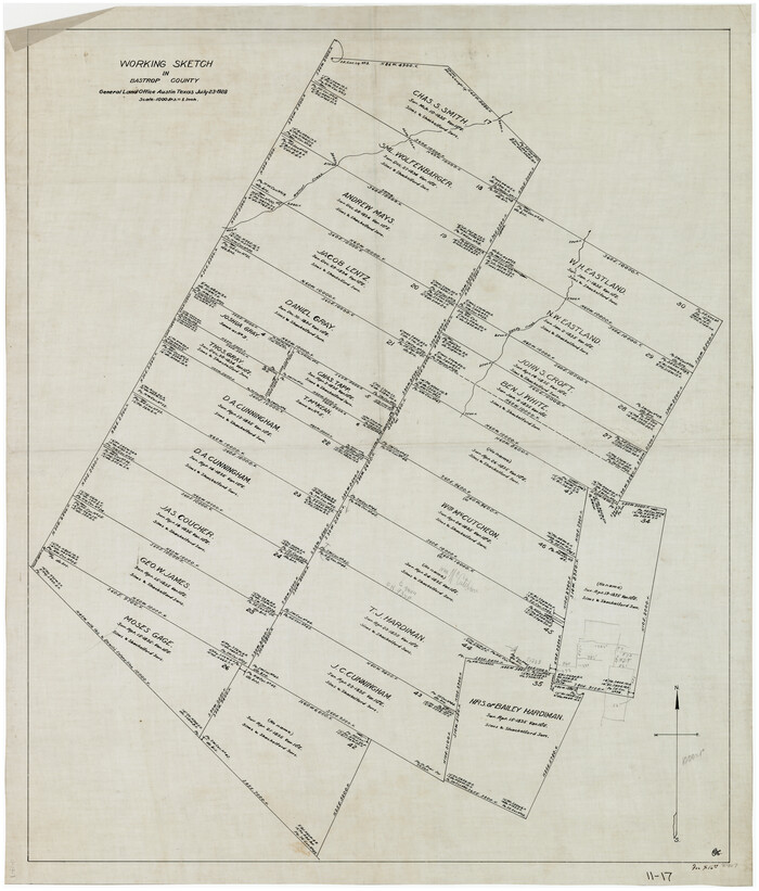

Print $20.00
- Digital $50.00
Working Sketch in Bastrop County
1923
Size 32.6 x 37.9 inches
Map/Doc 90147
[I. & G. N. Block 1, Secs. 65-75]
![90305, [I. & G. N. Block 1, Secs. 65-75], Twichell Survey Records](https://historictexasmaps.com/wmedia_w700/maps/90305-1.tif.jpg)
![90305, [I. & G. N. Block 1, Secs. 65-75], Twichell Survey Records](https://historictexasmaps.com/wmedia_w700/maps/90305-1.tif.jpg)
Print $20.00
- Digital $50.00
[I. & G. N. Block 1, Secs. 65-75]
1928
Size 24.6 x 21.5 inches
Map/Doc 90305
[Sketch of surveys in the vicinity of sections 171 and 172 along Pedernales]
![91882, [Sketch of surveys in the vicinity of sections 171 and 172 along Pedernales], Twichell Survey Records](https://historictexasmaps.com/wmedia_w700/maps/91882-1.tif.jpg)
![91882, [Sketch of surveys in the vicinity of sections 171 and 172 along Pedernales], Twichell Survey Records](https://historictexasmaps.com/wmedia_w700/maps/91882-1.tif.jpg)
Print $20.00
- Digital $50.00
[Sketch of surveys in the vicinity of sections 171 and 172 along Pedernales]
Size 17.2 x 12.9 inches
Map/Doc 91882
[Portion of sketch showing alleged vacancy]
![91953, [Portion of sketch showing alleged vacancy], Twichell Survey Records](https://historictexasmaps.com/wmedia_w700/maps/91953-1.tif.jpg)
![91953, [Portion of sketch showing alleged vacancy], Twichell Survey Records](https://historictexasmaps.com/wmedia_w700/maps/91953-1.tif.jpg)
Print $20.00
- Digital $50.00
[Portion of sketch showing alleged vacancy]
Size 18.9 x 24.4 inches
Map/Doc 91953
Chapman and Farlin Producing Co. Cogdell Ranch Kent County, Texas


Print $20.00
- Digital $50.00
Chapman and Farlin Producing Co. Cogdell Ranch Kent County, Texas
1951
Size 12.6 x 16.6 inches
Map/Doc 92193
Map Showing North and West Boundaries of Gray County
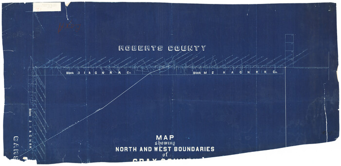

Print $20.00
- Digital $50.00
Map Showing North and West Boundaries of Gray County
Size 39.7 x 19.0 inches
Map/Doc 90709
Sketch showing recent surveys of State School Land adjoining Capitol Leagues No. 357 1/2, 367, 373 and 374 corrected out of conflict


Print $2.00
- Digital $50.00
Sketch showing recent surveys of State School Land adjoining Capitol Leagues No. 357 1/2, 367, 373 and 374 corrected out of conflict
1905
Size 7.3 x 10.4 inches
Map/Doc 90535
You may also like
Flight Mission No. DCL-5C, Frame 30, Kenedy County
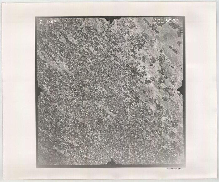

Print $20.00
- Digital $50.00
Flight Mission No. DCL-5C, Frame 30, Kenedy County
1943
Size 18.6 x 22.3 inches
Map/Doc 85842
Wharton County Sketch File A3
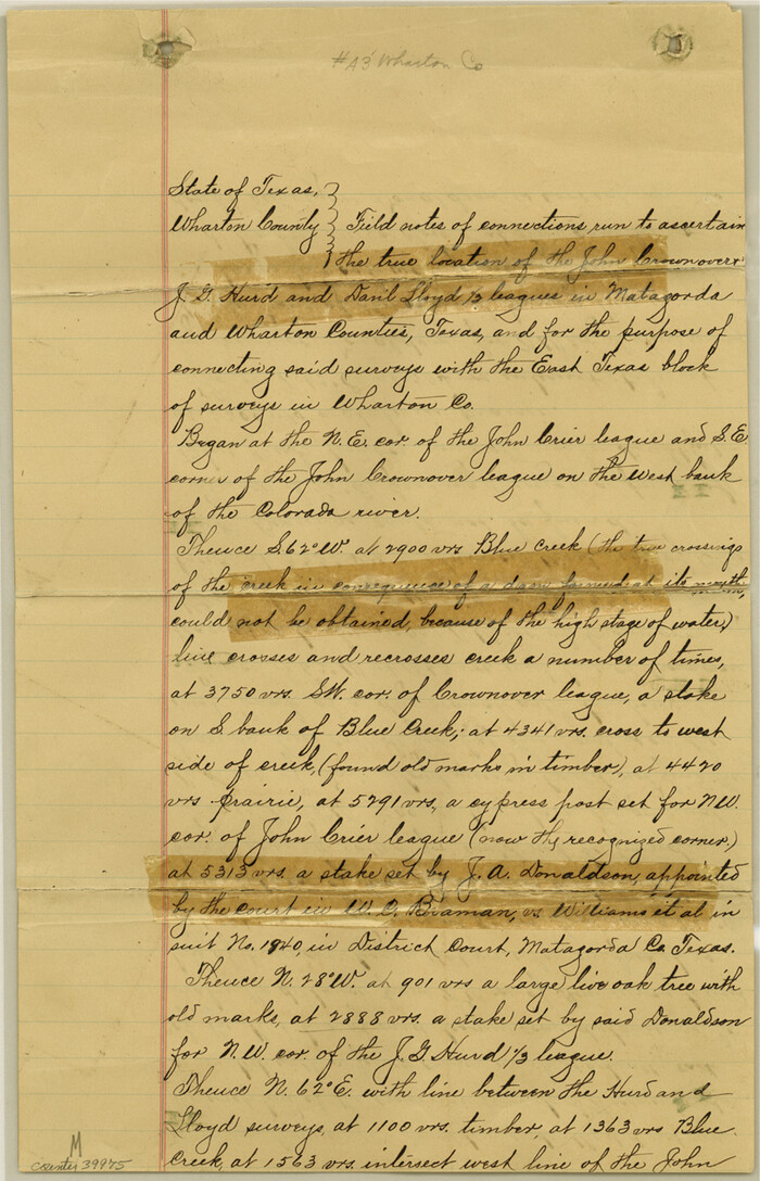

Print $26.00
- Digital $50.00
Wharton County Sketch File A3
1899
Size 18.2 x 18.6 inches
Map/Doc 12671
[Blocks JK, JK4, JD, A1, and A2]
![90748, [Blocks JK, JK4, JD, A1, and A2], Twichell Survey Records](https://historictexasmaps.com/wmedia_w700/maps/90748-1.tif.jpg)
![90748, [Blocks JK, JK4, JD, A1, and A2], Twichell Survey Records](https://historictexasmaps.com/wmedia_w700/maps/90748-1.tif.jpg)
Print $20.00
- Digital $50.00
[Blocks JK, JK4, JD, A1, and A2]
Size 12.5 x 28.8 inches
Map/Doc 90748
[Spade and Ellwood Lands in Lubbock and Hale Counties]
![91072, [Spade and Ellwood Lands in Lubbock and Hale Counties], Twichell Survey Records](https://historictexasmaps.com/wmedia_w700/maps/91072-1.tif.jpg)
![91072, [Spade and Ellwood Lands in Lubbock and Hale Counties], Twichell Survey Records](https://historictexasmaps.com/wmedia_w700/maps/91072-1.tif.jpg)
Print $20.00
- Digital $50.00
[Spade and Ellwood Lands in Lubbock and Hale Counties]
Size 18.0 x 17.8 inches
Map/Doc 91072
Val Verde County Sketch File 14


Print $20.00
- Digital $50.00
Val Verde County Sketch File 14
1879
Size 19.8 x 14.7 inches
Map/Doc 12565
Flight Mission No. CGI-1N, Frame 216, Cameron County

Print $20.00
- Digital $50.00
Flight Mission No. CGI-1N, Frame 216, Cameron County
1955
Size 18.5 x 22.2 inches
Map/Doc 84525
Plat Compiled by W. J. Williams, Plainview, Texas, and Sylvan Sanders, Lubbock, Texas Showing Position of Original and Re-Survey Corners in Lynn, Terry, Yoakum, Gaines and Dawson Counties, Texas


Print $40.00
- Digital $50.00
Plat Compiled by W. J. Williams, Plainview, Texas, and Sylvan Sanders, Lubbock, Texas Showing Position of Original and Re-Survey Corners in Lynn, Terry, Yoakum, Gaines and Dawson Counties, Texas
1946
Size 57.6 x 22.9 inches
Map/Doc 89689
Chambers County Working Sketch 23


Print $20.00
- Digital $50.00
Chambers County Working Sketch 23
1979
Size 14.9 x 23.5 inches
Map/Doc 68006
Coleman County Sketch File 15
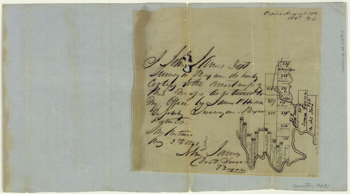

Print $4.00
- Digital $50.00
Coleman County Sketch File 15
1848
Size 7.3 x 13.0 inches
Map/Doc 18681
Flight Mission No. DQN-2K, Frame 191, Calhoun County


Print $20.00
- Digital $50.00
Flight Mission No. DQN-2K, Frame 191, Calhoun County
1953
Size 18.8 x 22.4 inches
Map/Doc 84332
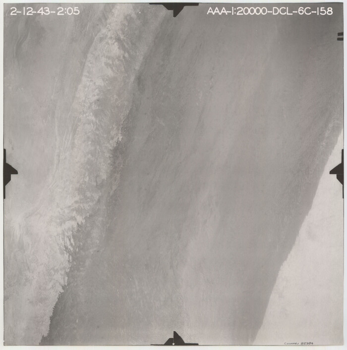
Flight Mission No. DCL-6C, Frame 158, Kenedy County

Print $20.00
- Digital $50.00
Flight Mission No. DCL-6C, Frame 158, Kenedy County
1943
Size 15.3 x 15.2 inches
Map/Doc 85984
Gillespie County Sketch File 3


Print $4.00
- Digital $50.00
Gillespie County Sketch File 3
1847
Size 11.2 x 8.0 inches
Map/Doc 24129
![91056, [R. M. Thompson Block T2 and John H. Stephens Block S2 Conflict], Twichell Survey Records](https://historictexasmaps.com/wmedia_w1800h1800/maps/91056-1.tif.jpg)