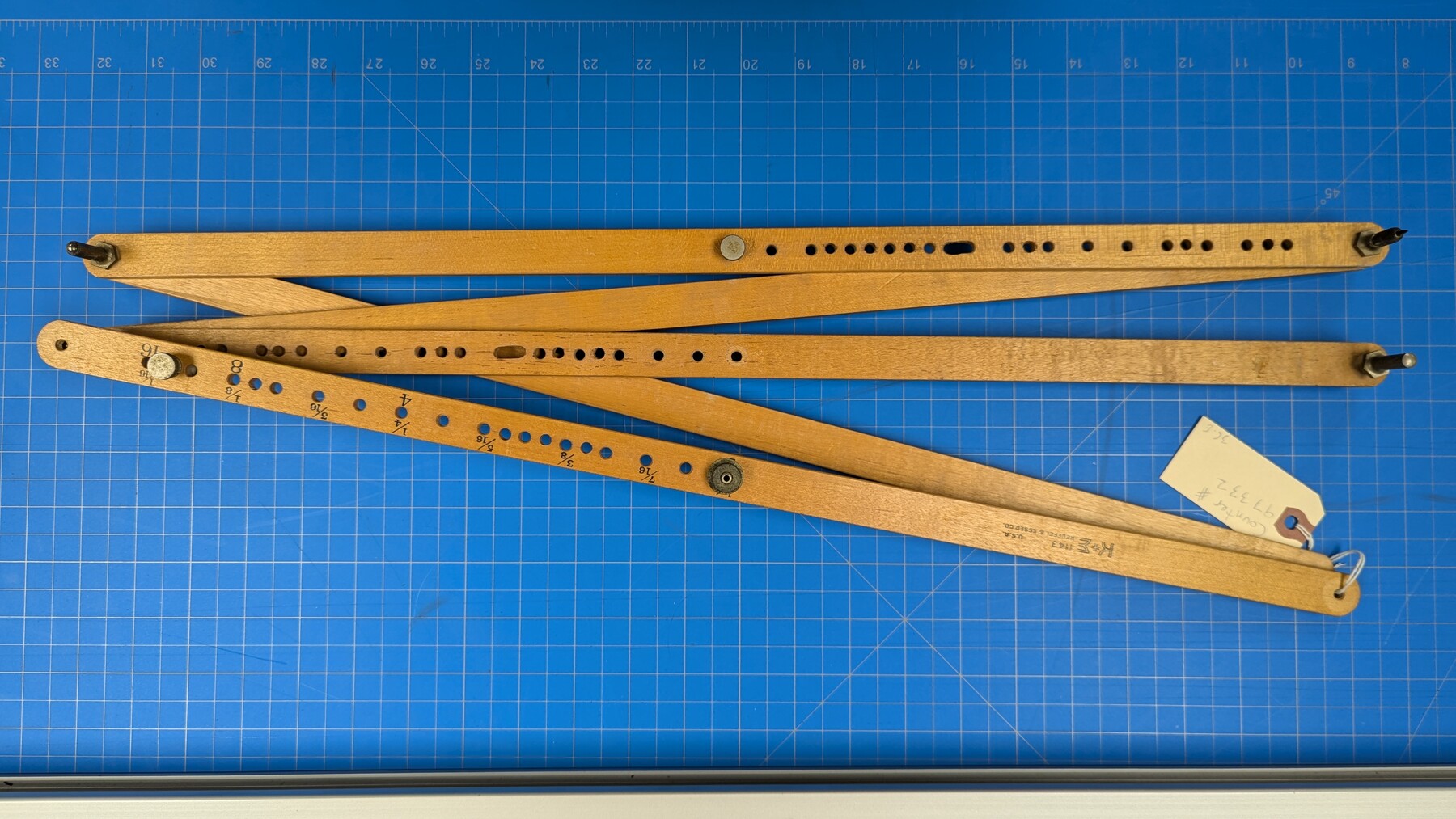
K&E Pantograph, 21" 1143
Manufacturer: Keuffel & Esser Manufacture Location: New York
-
Map/Doc
97332
-
Collection
Equipment and Tools
-
Height x
21.0 inches
53.3 cm
Part of: Equipment and Tools

Keuffel and Esser Co. odometer in leather case and wagon wheel

Keuffel and Esser Co. odometer in leather case and wagon wheel
Map/Doc 97376


Dietzgen Globe Wooden 42" T Square

Dietzgen Globe Wooden 42" T Square
Size 44.5 x 13.8 inches
Map/Doc 97329


You may also like
Chart of the West Indies and Spanish Dominions in North America

Print $20.00
- Digital $50.00
Chart of the West Indies and Spanish Dominions in North America
1803
Size 25.5 x 38.9 inches
Map/Doc 97139
Dallam County Sketch File 8

Print $8.00
- Digital $50.00
Dallam County Sketch File 8
1903
Size 11.2 x 8.7 inches
Map/Doc 20353
Dimmit County Working Sketch 10

Print $20.00
- Digital $50.00
Dimmit County Working Sketch 10
1934
Size 24.2 x 40.3 inches
Map/Doc 68671
Dallas, Texas

Print $20.00
- Digital $50.00
Dallas, Texas
1890
Size 14.8 x 11.7 inches
Map/Doc 94085
Sketch of Resurvey of J. R. Castlebury Est., SF 12725 in Gregg County

Print $20.00
- Digital $50.00
Sketch of Resurvey of J. R. Castlebury Est., SF 12725 in Gregg County
1931
Size 38.6 x 33.3 inches
Map/Doc 2039
Val Verde County Working Sketch 4

Print $20.00
- Digital $50.00
Val Verde County Working Sketch 4
1906
Size 23.9 x 17.3 inches
Map/Doc 72139
Real County Rolled Sketch 12A

Print $20.00
- Digital $50.00
Real County Rolled Sketch 12A
Size 36.2 x 38.3 inches
Map/Doc 9837
Hutchinson County Working Sketch 12

Print $20.00
- Digital $50.00
Hutchinson County Working Sketch 12
1925
Size 20.6 x 29.9 inches
Map/Doc 66370
Reeves County Working Sketch 58

Print $20.00
- Digital $50.00
Reeves County Working Sketch 58
1980
Size 32.3 x 25.3 inches
Map/Doc 63501
Hays County Working Sketch 16

Print $20.00
- Digital $50.00
Hays County Working Sketch 16
1970
Size 34.3 x 38.0 inches
Map/Doc 66090
Young County Sketch File 16

Print $4.00
- Digital $50.00
Young County Sketch File 16
1896
Size 10.3 x 8.5 inches
Map/Doc 40880
Hutchinson County Working Sketch 10

Print $20.00
- Digital $50.00
Hutchinson County Working Sketch 10
1920
Size 42.4 x 32.4 inches
Map/Doc 66368