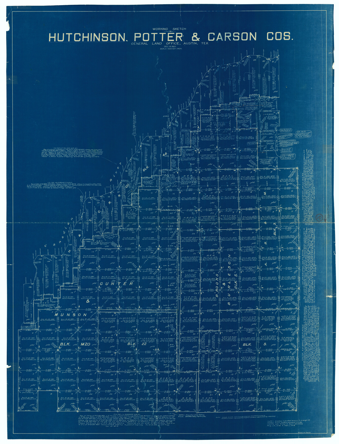
Hutchinson County Working Sketch 10
-
Map/Doc
66368
-
Collection
General Map Collection
-
Object Dates
12/18/1920 (Creation Date)
-
People and Organizations
Grady W. Davis (Draftsman)
-
Counties
Hutchinson Potter Carson
-
Subjects
Surveying Working Sketch
-
Height x Width
42.4 x 32.4 inches
107.7 x 82.3 cm
-
Scale
1" = 1000 varas
Part of: General Map Collection
Concho County Sketch File 21

Print $6.00
- Digital $50.00
Concho County Sketch File 21
Size 7.3 x 11.1 inches
Map/Doc 19143
Rusk County Working Sketch 29b

Print $20.00
- Digital $50.00
Rusk County Working Sketch 29b
Size 25.8 x 18.1 inches
Map/Doc 63666

Coleman County Sketch File 43a

Print $6.00
- Digital $50.00
Coleman County Sketch File 43a
1892
Size 13.2 x 8.2 inches
Map/Doc 18780
Cochran County Sketch File 5

Print $24.00
- Digital $50.00
Cochran County Sketch File 5
1932
Size 11.1 x 8.7 inches
Map/Doc 18542
Kleberg County Working Sketch 1

Print $20.00
- Digital $50.00
Kleberg County Working Sketch 1
1925
Size 21.9 x 43.8 inches
Map/Doc 70242
Brazoria County State Real Property Sketch 2

Print $60.00
- Digital $50.00
Brazoria County State Real Property Sketch 2
2003
Size 31.0 x 42.9 inches
Map/Doc 83356
Archer County Sketch File 30

Print $40.00
- Digital $50.00
Archer County Sketch File 30
1896
Size 20.6 x 18.5 inches
Map/Doc 10838
Hopkins County Working Sketch 4

Print $20.00
- Digital $50.00
Hopkins County Working Sketch 4
1959
Size 23.3 x 30.9 inches
Map/Doc 66229
Flight Mission No. CRC-5R, Frame 24, Chambers County

Print $20.00
- Digital $50.00
Flight Mission No. CRC-5R, Frame 24, Chambers County
1956
Size 18.7 x 22.4 inches
Map/Doc 84946
Runnels County Working Sketch 18

Print $20.00
- Digital $50.00
Runnels County Working Sketch 18
1950
Size 27.9 x 31.2 inches
Map/Doc 63614
Lampasas County Sketch File 6

Print $4.00
- Digital $50.00
Lampasas County Sketch File 6
1871
Size 8.0 x 6.8 inches
Map/Doc 29400
You may also like
Culberson County Working Sketch 5

Print $20.00
- Digital $50.00
Culberson County Working Sketch 5
1906
Size 22.2 x 17.2 inches
Map/Doc 68457
Working Sketch of Surveys in Garza Co. About 12 Miles N. from Post City

Print $40.00
- Digital $50.00
Working Sketch of Surveys in Garza Co. About 12 Miles N. from Post City
1950
Size 48.5 x 37.4 inches
Map/Doc 89872

Map of Runnels County, Texas

Print $20.00
- Digital $50.00
Map of Runnels County, Texas
1879
Size 28.7 x 22.5 inches
Map/Doc 604
Sketch of part of the NW part, Hutchinson County

Print $20.00
- Digital $50.00
Sketch of part of the NW part, Hutchinson County
1909
Size 20.9 x 31.2 inches
Map/Doc 75816
Uvalde County Working Sketch 57

Print $20.00
- Digital $50.00
Uvalde County Working Sketch 57
1985
Size 38.4 x 43.0 inches
Map/Doc 72127
Lynn County Boundary File 6

Print $4.00
- Digital $50.00
Lynn County Boundary File 6
Size 10.9 x 8.8 inches
Map/Doc 56639
Map of the River Sabine from its Mouth on the Gulf of Mexico in the Sea to Logan's Ferry in Latitude 31° 58' 25" North

Print $20.00
Map of the River Sabine from its Mouth on the Gulf of Mexico in the Sea to Logan's Ferry in Latitude 31° 58' 25" North
1840
Size 35.5 x 9.1 inches
Map/Doc 79294
Loving County Working Sketch 19

Print $40.00
- Digital $50.00
Loving County Working Sketch 19
1978
Size 54.0 x 29.2 inches
Map/Doc 70653
Dimmit County, Texas

Print $20.00
- Digital $50.00
Dimmit County, Texas
1879
Size 22.5 x 29.0 inches
Map/Doc 710
Crosby County Sketch File 24

Print $4.00
- Digital $50.00
Crosby County Sketch File 24
Size 7.3 x 8.8 inches
Map/Doc 20091
El Paso County Sketch File 31

Print $185.00
- Digital $50.00
El Paso County Sketch File 31
1968
Size 8.9 x 17.7 inches
Map/Doc 22084