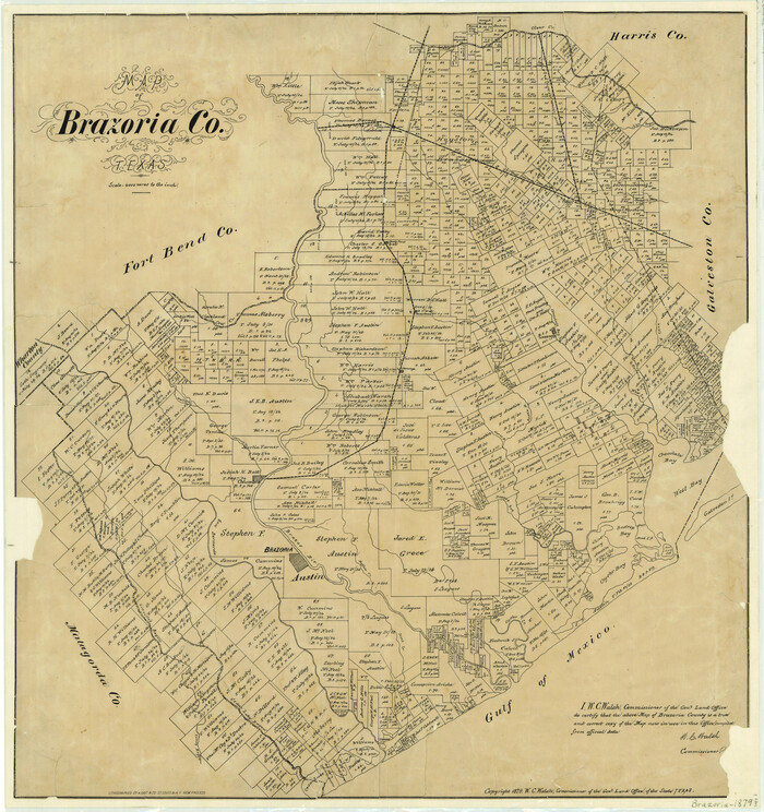
599 results

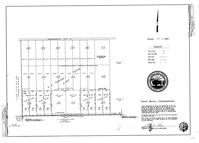
A plat representing the survey and resubdivision of four tracts of land known as tracts no. 27, no. 26, no. 23, and no. 22, all of which are part of the Tara Subdivision, an unrecorded subdivision of 263.28 acres out of the J. M. Speer Subdivision
3112.tif
Print $6.00 - Digital $50.00

A plat representing the survey and resubdivision of four tracts of land known as tracts no. 27, no. 26, no. 23, and no. 22, all of which are part of the Tara Subdivision, an unrecorded subdivision of 263.28 acres out of the J. M. Speer Subdivision

1991
Size: 24.7 x 34.3 inches
3112
Brazoria Co.
66720-1.tif
Print $20.00 - Digital $50.00

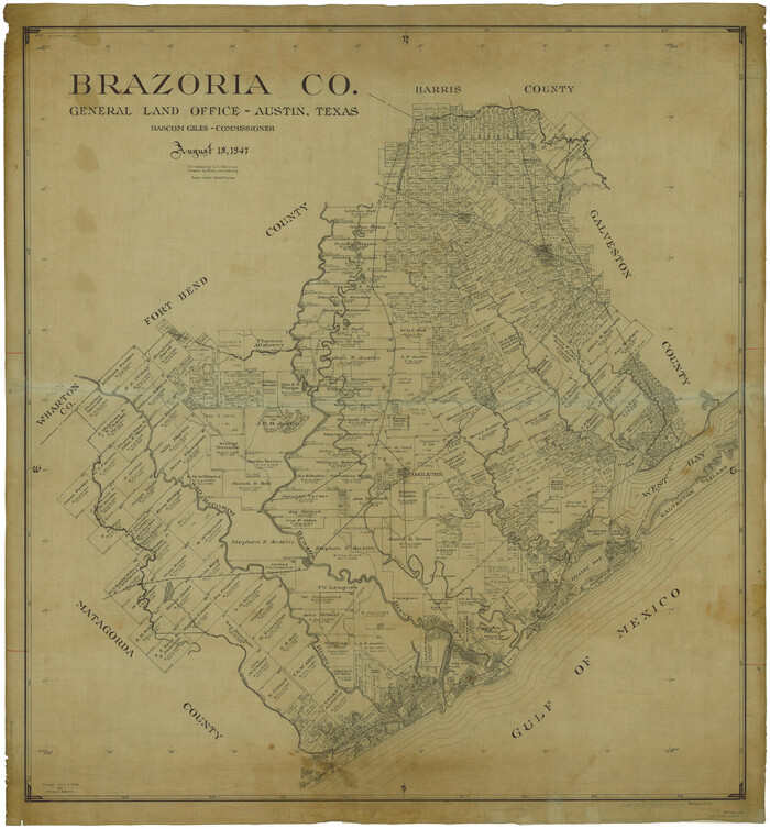
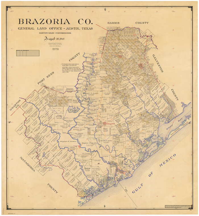
Brazoria Co.

1947

Size: 43.3 x 40.0 inches
66720
Brazoria Co.
73085.tif
Print $20.00 - Digital $50.00

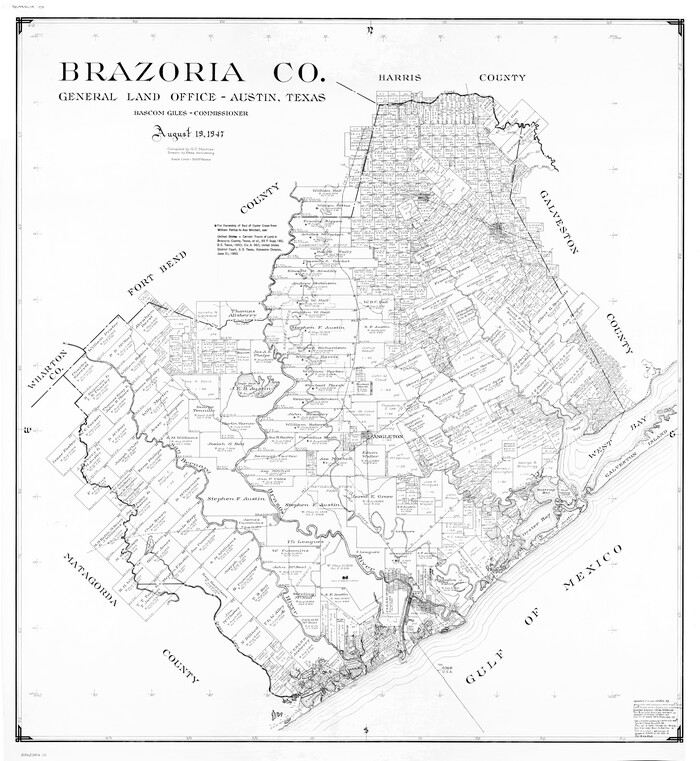
Brazoria Co.

1947

Size: 42.5 x 39.5 inches
73085
Brazoria Co.
77217.tif
Print $20.00 - Digital $50.00

Brazoria Co.

1947

Size: 40.6 x 37.5 inches
77217
Brazoria Co.
82065-1.tif
Print $40.00 - Digital $50.00

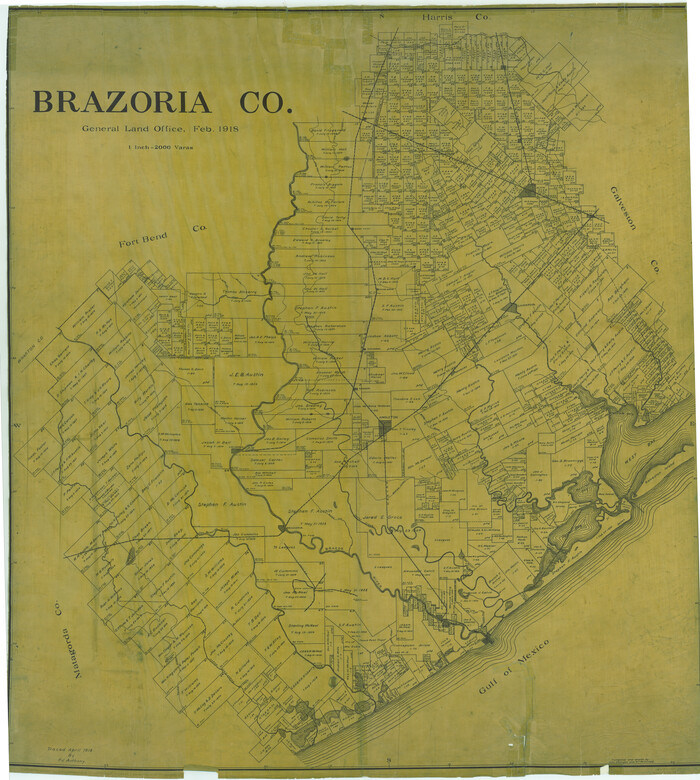
Brazoria Co.

1918

Size: 60.8 x 53.5 inches
82065
Brazoria Co.
82067.tif
Print $40.00 - Digital $50.00

Brazoria Co.

1918

Size: 56.2 x 50.4 inches
82067
Brazoria Co.
95434.tif
Print $20.00 - Digital $50.00

Brazoria Co.

1947

Size: 43.2 x 39.8 inches
95434
Brazoria County
4510-1.tif
Print $20.00 - Digital $50.00

Brazoria County

1877

Size: 25.0 x 22.2 inches
4510
Brazoria County
4647.tif
Print $20.00 - Digital $50.00

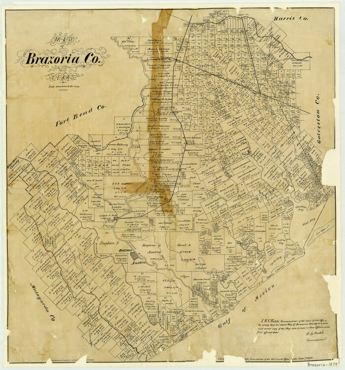
Brazoria County

1879

Size: 27.0 x 25.1 inches
4647
Brazoria County
4890-GC.tif
Print $40.00 - Digital $50.00

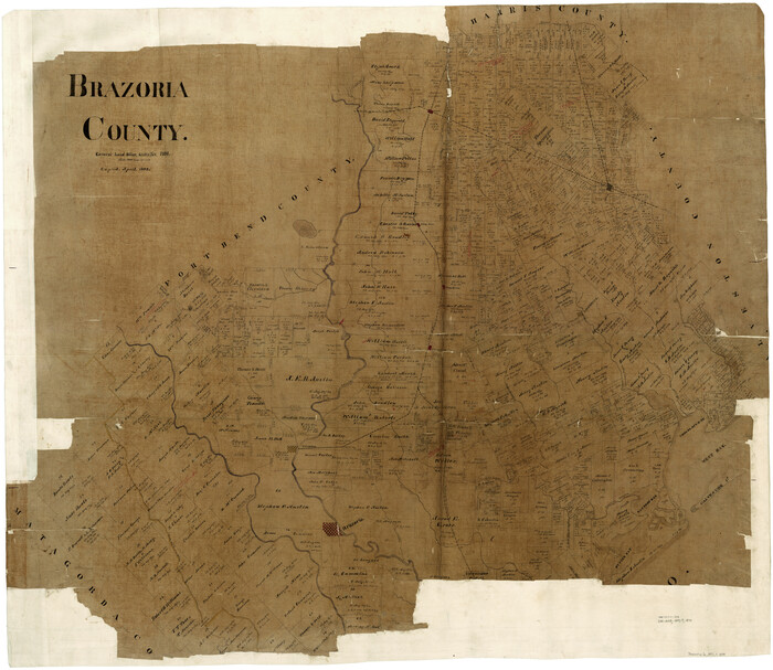
Brazoria County

1891

Size: 47.1 x 54.2 inches
4890
Brazoria County
0858.tif
Print $20.00 - Digital $50.00

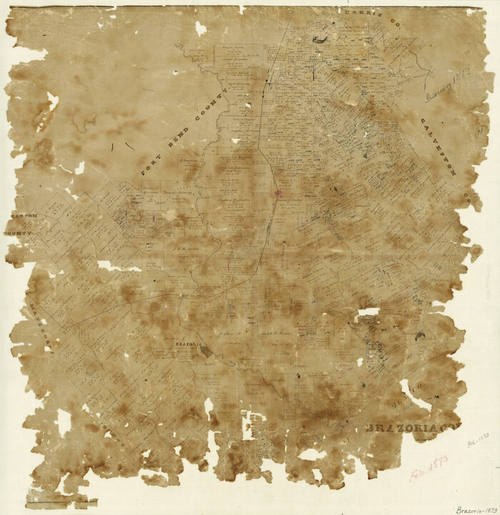
Brazoria County

1873

Size: 26.7 x 26.1 inches
858
Brazoria County
0859.tif
Print $20.00 - Digital $50.00

Brazoria County

1879

Size: 26.6 x 25.1 inches
859
Brazoria County
88912-1.tif
Print $20.00

Brazoria County

1877

Size: 23.2 x 21.5 inches
88912
Brazoria County
90138-1.tif
Print $20.00 - Digital $50.00

Brazoria County

1920

Size: 20.3 x 23.2 inches
90138
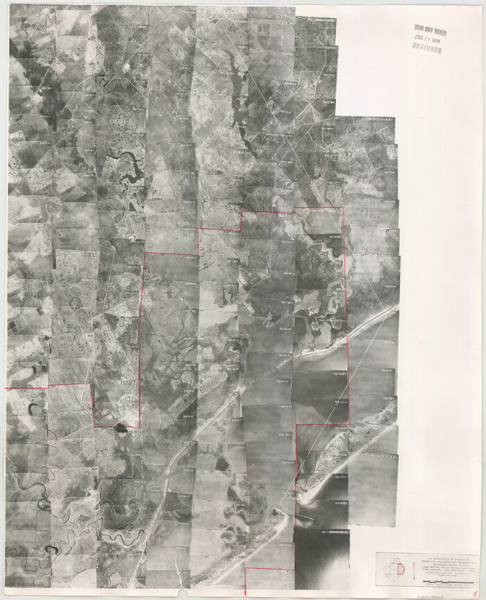
Brazoria County Aerial Photograph Index Sheet 5
83667, Brazoria County Aerial Photograph Index Sheet 5, General Map Collection
Print $20.00 - Digital $50.00

Brazoria County Aerial Photograph Index Sheet 5

1953
Size: 24.0 x 19.5 inches
83667
Brazoria County Aerial Photograph Index Sheet 6
83668, Brazoria County Aerial Photograph Index Sheet 6, General Map Collection
Print $20.00 - Digital $50.00

Brazoria County Aerial Photograph Index Sheet 6

1953
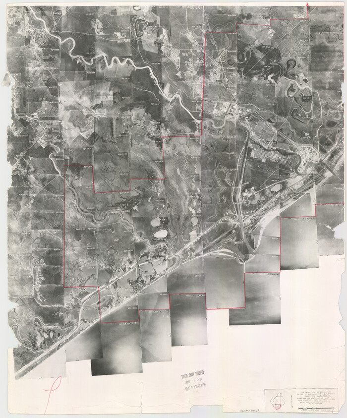
Size: 23.8 x 19.3 inches
83668
Brazoria County Aerial Photograph Index Sheet 7
83669, Brazoria County Aerial Photograph Index Sheet 7, General Map Collection
Print $20.00 - Digital $50.00

Brazoria County Aerial Photograph Index Sheet 7

1953

Size: 23.9 x 19.8 inches
83669
Brazoria County Boundary File 1
50699, Brazoria County Boundary File 1, General Map Collection
Print $10.00 - Digital $50.00

Brazoria County Boundary File 1

Size: 14.4 x 8.7 inches
50699
Brazoria County Boundary File 12 1/2
50733, Brazoria County Boundary File 12 1/2, General Map Collection
Print $10.00 - Digital $50.00

Brazoria County Boundary File 12 1/2

Size: 9.0 x 7.3 inches
50733
Brazoria County Boundary File 2
50704, Brazoria County Boundary File 2, General Map Collection
Print $140.00 - Digital $50.00

Brazoria County Boundary File 2

Size: 12.8 x 9.8 inches
50704
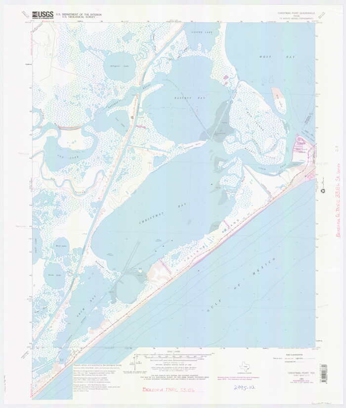
Brazoria County NRC Article 33.136 Location Key Sheet
77007.tif
Print $20.00 - Digital $50.00

Brazoria County NRC Article 33.136 Location Key Sheet

1965
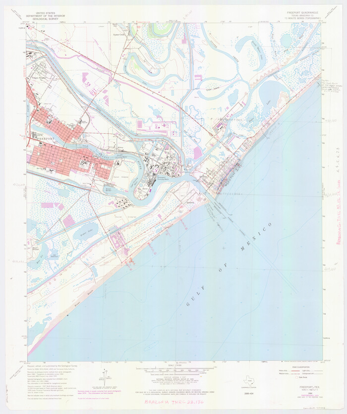
Size: 27.0 x 22.0 inches
77007
Brazoria County NRC Article 33.136 Location Key Sheet
77008.tif
Print $20.00 - Digital $50.00

Brazoria County NRC Article 33.136 Location Key Sheet

1964

Size: 27.0 x 22.0 inches
77008
Brazoria County NRC Article 33.136 Location Key Sheet
77009.tif
Print $20.00 - Digital $50.00

Brazoria County NRC Article 33.136 Location Key Sheet

1963

Size: 27.0 x 22.0 inches
77009
Brazoria County NRC Article 33.136 Sketch 1
61555, Brazoria County NRC Article 33.136 Sketch 1, General Map Collection
Print $20.00 - Digital $50.00

Brazoria County NRC Article 33.136 Sketch 1

2000
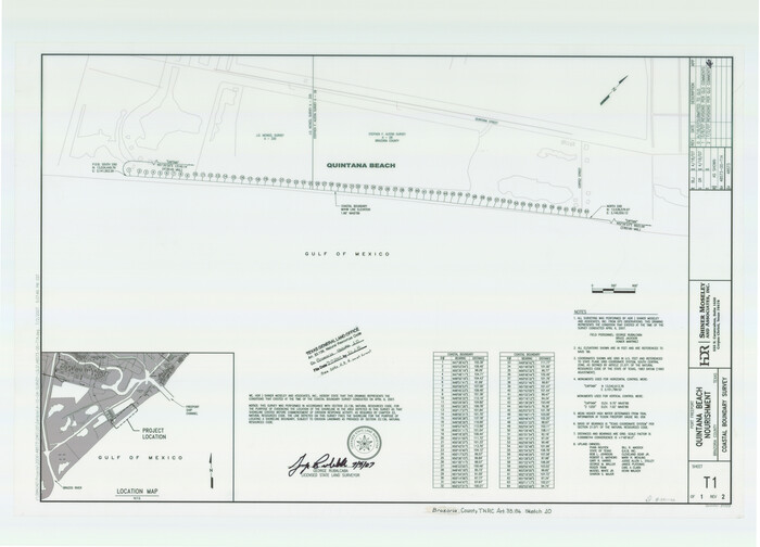
Size: 24.7 x 35.9 inches
61555
Brazoria County NRC Article 33.136 Sketch 10
87933, Brazoria County NRC Article 33.136 Sketch 10, General Map Collection
Print $23.00 - Digital $50.00

Brazoria County NRC Article 33.136 Sketch 10

2007

Size: 25.7 x 35.7 inches
87933
Brazoria County NRC Article 33.136 Sketch 11
94777, Brazoria County NRC Article 33.136 Sketch 11, General Map Collection
Print $24.00 - Digital $50.00

Brazoria County NRC Article 33.136 Sketch 11

2012
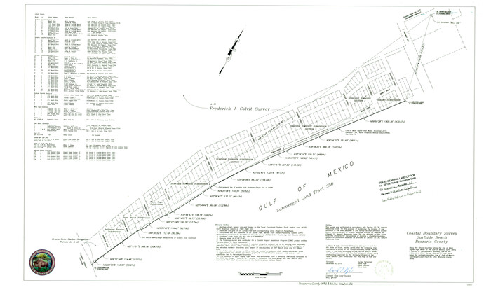
Size: 24.0 x 18.0 inches
94777
Brazoria County NRC Article 33.136 Sketch 12
93407, Brazoria County NRC Article 33.136 Sketch 12, General Map Collection
Print $26.00 - Digital $50.00

Brazoria County NRC Article 33.136 Sketch 12

2010
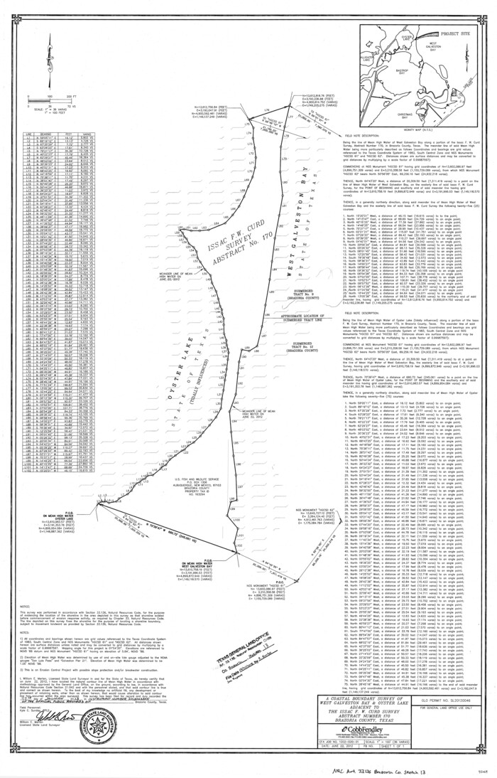
Size: 21.0 x 34.0 inches
93407
Brazoria County NRC Article 33.136 Sketch 13
95069, Brazoria County NRC Article 33.136 Sketch 13, General Map Collection
Print $42.00 - Digital $50.00

Brazoria County NRC Article 33.136 Sketch 13

2012
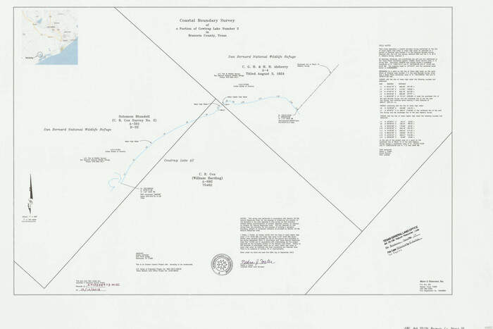
Size: 36.0 x 23.0 inches
95069
Brazoria County NRC Article 33.136 Sketch 14
95057, Brazoria County NRC Article 33.136 Sketch 14, General Map Collection
Print $36.00 - Digital $50.00

Brazoria County NRC Article 33.136 Sketch 14

2013

Size: 24.0 x 36.0 inches
95057
Brazoria County NRC Article 33.136 Sketch 15
94698, Brazoria County NRC Article 33.136 Sketch 15, General Map Collection
Print $44.00 - Digital $50.00

Brazoria County NRC Article 33.136 Sketch 15

2014

Size: 39.8 x 30.0 inches
94698
A plat representing the survey and resubdivision of four tracts of land known as tracts no. 27, no. 26, no. 23, and no. 22, all of which are part of the Tara Subdivision, an unrecorded subdivision of 263.28 acres out of the J. M. Speer Subdivision
3112, A plat representing the survey and resubdivision of four tracts of land known as tracts no. 27, no. 26, no. 23, and no. 22, all of which are part of the Tara Subdivision, an unrecorded subdivision of 263.28 acres out of the J. M. Speer Subdivision, General Map Collection
Print $6.00 - Digital $50.00

A plat representing the survey and resubdivision of four tracts of land known as tracts no. 27, no. 26, no. 23, and no. 22, all of which are part of the Tara Subdivision, an unrecorded subdivision of 263.28 acres out of the J. M. Speer Subdivision

1991

  • Size

    24.7 x 34.3 inches

  • Map/Doc

    3112

  • Creation Date

    1991

Brazoria Co.
66720, Brazoria Co., General Map Collection
Print $20.00 - Digital $50.00

Brazoria Co.

1947

  • Size

    43.3 x 40.0 inches

  • Map/Doc

    66720

  • Creation Date

    1947

Brazoria Co.
73085, Brazoria Co., General Map Collection
Print $20.00 - Digital $50.00

Brazoria Co.

1947

  • Size

    42.5 x 39.5 inches

  • Map/Doc

    73085

  • Creation Date

    1947

Brazoria Co.
77217, Brazoria Co., General Map Collection
Print $20.00 - Digital $50.00

Brazoria Co.

1947

  • Size

    40.6 x 37.5 inches

  • Map/Doc

    77217

  • Creation Date

    1947

Brazoria Co.
82065, Brazoria Co., General Map Collection
Print $40.00 - Digital $50.00

Brazoria Co.

1918

  • Size

    60.8 x 53.5 inches

  • Map/Doc

    82065

  • Creation Date

    1918

Brazoria Co.
82067, Brazoria Co., General Map Collection
Print $40.00 - Digital $50.00

Brazoria Co.

1918

  • Size

    56.2 x 50.4 inches

  • Map/Doc

    82067

  • Creation Date

    1918

Brazoria Co.
95434, Brazoria Co., General Map Collection
Print $20.00 - Digital $50.00

Brazoria Co.

1947

  • Size

    43.2 x 39.8 inches

  • Map/Doc

    95434

  • Creation Date

    1947

Brazoria County
4510, Brazoria County, General Map Collection
Print $20.00 - Digital $50.00

Brazoria County

1877

  • Size

    25.0 x 22.2 inches

  • Map/Doc

    4510

  • Creation Date

    1877

Brazoria County
4647, Brazoria County, General Map Collection
Print $20.00 - Digital $50.00

Brazoria County

1879

  • Size

    27.0 x 25.1 inches

  • Map/Doc

    4647

  • Creation Date

    1879

Brazoria County
4890, Brazoria County, General Map Collection
Print $40.00 - Digital $50.00

Brazoria County

1891

  • Size

    47.1 x 54.2 inches

  • Map/Doc

    4890

  • Creation Date

    1891

Brazoria County
858, Brazoria County, General Map Collection
Print $20.00 - Digital $50.00

Brazoria County

1873

  • Size

    26.7 x 26.1 inches

  • Map/Doc

    858

  • Creation Date

    1873

Brazoria County
859, Brazoria County, General Map Collection
Print $20.00 - Digital $50.00

Brazoria County

1879

  • Size

    26.6 x 25.1 inches

  • Map/Doc

    859

  • Creation Date

    1879

Brazoria County
88912, Brazoria County, Library of Congress
Print $20.00

Brazoria County

1877

  • Size

    23.2 x 21.5 inches

  • Map/Doc

    88912

  • Creation Date

    1877

Brazoria County
90138, Brazoria County, Twichell Survey Records
Print $20.00 - Digital $50.00

Brazoria County

1920

  • Size

    20.3 x 23.2 inches

  • Map/Doc

    90138

  • Creation Date

    1920

Brazoria County Aerial Photograph Index Sheet 5
83667, Brazoria County Aerial Photograph Index Sheet 5, General Map Collection
Print $20.00 - Digital $50.00

Brazoria County Aerial Photograph Index Sheet 5

1953

  • Size

    24.0 x 19.5 inches

  • Map/Doc

    83667

  • Creation Date

    1953

Brazoria County Aerial Photograph Index Sheet 6
83668, Brazoria County Aerial Photograph Index Sheet 6, General Map Collection
Print $20.00 - Digital $50.00

Brazoria County Aerial Photograph Index Sheet 6

1953

  • Size

    23.8 x 19.3 inches

  • Map/Doc

    83668

  • Creation Date

    1953

Brazoria County Aerial Photograph Index Sheet 7
83669, Brazoria County Aerial Photograph Index Sheet 7, General Map Collection
Print $20.00 - Digital $50.00

Brazoria County Aerial Photograph Index Sheet 7

1953

  • Size

    23.9 x 19.8 inches

  • Map/Doc

    83669

  • Creation Date

    1953

Brazoria County Boundary File 1
50699, Brazoria County Boundary File 1, General Map Collection
Print $10.00 - Digital $50.00

Brazoria County Boundary File 1

  • Size

    14.4 x 8.7 inches

  • Map/Doc

    50699

Brazoria County Boundary File 12 1/2
50733, Brazoria County Boundary File 12 1/2, General Map Collection
Print $10.00 - Digital $50.00

Brazoria County Boundary File 12 1/2

  • Size

    9.0 x 7.3 inches

  • Map/Doc

    50733

Brazoria County Boundary File 2
50704, Brazoria County Boundary File 2, General Map Collection
Print $140.00 - Digital $50.00

Brazoria County Boundary File 2

  • Size

    12.8 x 9.8 inches

  • Map/Doc

    50704

Brazoria County NRC Article 33.136 Location Key Sheet
77007, Brazoria County NRC Article 33.136 Location Key Sheet, General Map Collection
Print $20.00 - Digital $50.00

Brazoria County NRC Article 33.136 Location Key Sheet

1965

  • Size

    27.0 x 22.0 inches

  • Map/Doc

    77007

  • Creation Date

    1965

Brazoria County NRC Article 33.136 Location Key Sheet
77008, Brazoria County NRC Article 33.136 Location Key Sheet, General Map Collection
Print $20.00 - Digital $50.00

Brazoria County NRC Article 33.136 Location Key Sheet

1964

  • Size

    27.0 x 22.0 inches

  • Map/Doc

    77008

  • Creation Date

    1964

Brazoria County NRC Article 33.136 Location Key Sheet
77009, Brazoria County NRC Article 33.136 Location Key Sheet, General Map Collection
Print $20.00 - Digital $50.00

Brazoria County NRC Article 33.136 Location Key Sheet

1963

  • Size

    27.0 x 22.0 inches

  • Map/Doc

    77009

  • Creation Date

    1963

Brazoria County NRC Article 33.136 Sketch 1
61555, Brazoria County NRC Article 33.136 Sketch 1, General Map Collection
Print $20.00 - Digital $50.00

Brazoria County NRC Article 33.136 Sketch 1

2000

  • Size

    24.7 x 35.9 inches

  • Map/Doc

    61555

  • Creation Date

    2000

Brazoria County NRC Article 33.136 Sketch 10
87933, Brazoria County NRC Article 33.136 Sketch 10, General Map Collection
Print $23.00 - Digital $50.00

Brazoria County NRC Article 33.136 Sketch 10

2007

  • Size

    25.7 x 35.7 inches

  • Map/Doc

    87933

  • Creation Date

    2007

Brazoria County NRC Article 33.136 Sketch 11
94777, Brazoria County NRC Article 33.136 Sketch 11, General Map Collection
Print $24.00 - Digital $50.00

Brazoria County NRC Article 33.136 Sketch 11

2012

  • Size

    24.0 x 18.0 inches

  • Map/Doc

    94777

  • Creation Date

    2012

Brazoria County NRC Article 33.136 Sketch 12
93407, Brazoria County NRC Article 33.136 Sketch 12, General Map Collection
Print $26.00 - Digital $50.00

Brazoria County NRC Article 33.136 Sketch 12

2010

  • Size

    21.0 x 34.0 inches

  • Map/Doc

    93407

  • Creation Date

    2010

Brazoria County NRC Article 33.136 Sketch 13
95069, Brazoria County NRC Article 33.136 Sketch 13, General Map Collection
Print $42.00 - Digital $50.00

Brazoria County NRC Article 33.136 Sketch 13

2012

  • Size

    36.0 x 23.0 inches

  • Map/Doc

    95069

  • Creation Date

    2012

Brazoria County NRC Article 33.136 Sketch 14
95057, Brazoria County NRC Article 33.136 Sketch 14, General Map Collection
Print $36.00 - Digital $50.00

Brazoria County NRC Article 33.136 Sketch 14

2013

  • Size

    24.0 x 36.0 inches

  • Map/Doc

    95057

  • Creation Date

    2013

Brazoria County NRC Article 33.136 Sketch 15
94698, Brazoria County NRC Article 33.136 Sketch 15, General Map Collection
Print $44.00 - Digital $50.00

Brazoria County NRC Article 33.136 Sketch 15

2014

  • Size

    39.8 x 30.0 inches

  • Map/Doc

    94698

  • Creation Date

    2014