A General Map of the Roman Empire Shewing the Situation of all its Provinces & ye Seats of ye Barbarous Nations on their Frontiers


Print $20.00
- Digital $50.00
A General Map of the Roman Empire Shewing the Situation of all its Provinces & ye Seats of ye Barbarous Nations on their Frontiers
1744
Size: 10.8 x 20.5 inches
96644
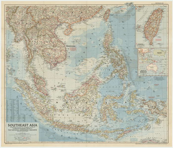
Burma, Thailand, Indochina and Malayan Federation


Print $3.00
- Digital $50.00
Burma, Thailand, Indochina and Malayan Federation
Size: 10.7 x 14.6 inches
92375
Burma, Thailand, Indochina and Malayan Federation


Print $3.00
- Digital $50.00
Burma, Thailand, Indochina and Malayan Federation
Size: 10.7 x 14.6 inches
92376
Carte Nouvelle de la Mer du Sud


Print $20.00
- Digital $50.00
Carte Nouvelle de la Mer du Sud
1730
Size: 25.8 x 39.6 inches
93824
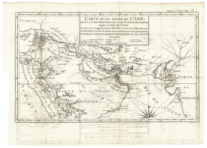
Carte d'une partie de l'Asie, depuis la Mer Méditerranée jusqu'au Golfe de Cambaye dans la Mer de l'Inde

Print $20.00
- Digital $50.00
Carte d'une partie de l'Asie, depuis la Mer Méditerranée jusqu'au Golfe de Cambaye dans la Mer de l'Inde
1782
Size: 12.9 x 18.0 inches
97120
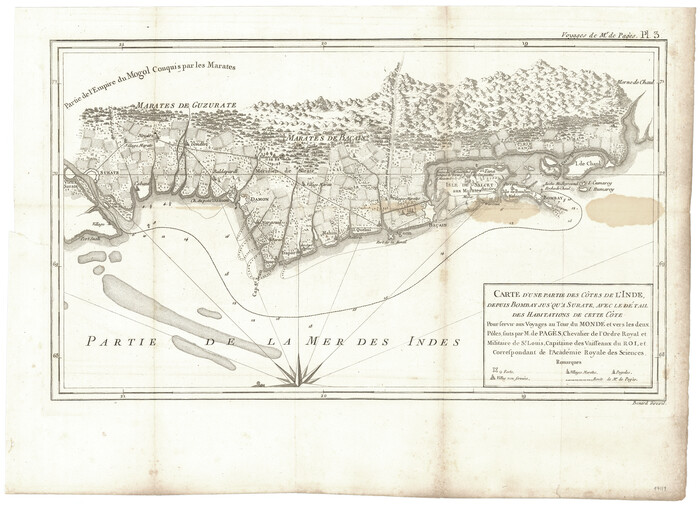
Carte d'une partie des Côtes de l'Inde depuis Bombay jus'qu'a Surate, avec le détail des Habitations de cette Côte

Print $20.00
- Digital $50.00
Carte d'une partie des Côtes de l'Inde depuis Bombay jus'qu'a Surate, avec le détail des Habitations de cette Côte
1782
Size: 13.2 x 18.2 inches
97119
Eastern Hemisphere


Print $20.00
- Digital $50.00
Eastern Hemisphere
1885
Size: 12.2 x 9.0 inches
93511
Map of Asia (Inset: Palestine)


Print $20.00
- Digital $50.00
Map of Asia (Inset: Palestine)
1844
Size: 12.1 x 19.0 inches
93548
Map of Asia designed to accompany Smith's Geography for Schools


Print $20.00
- Digital $50.00
Map of Asia designed to accompany Smith's Geography for Schools
1850
Size: 9.6 x 12.0 inches
93896
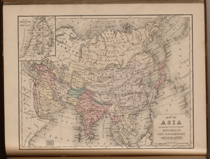
Map of Asia engraved to illustrate Mitchell's new intermediate geography (Inset: Map of Palestine or the Holy Land)

Print $20.00
- Digital $50.00
Map of Asia engraved to illustrate Mitchell's new intermediate geography (Inset: Map of Palestine or the Holy Land)
1885
Size: 9.0 x 12.2 inches
93529
Map of Asia engraved to illustrate Mitchell's school and family geography (Inset: Map of Palestine or the Holy Land)


Print $20.00
- Digital $50.00
Map of Asia engraved to illustrate Mitchell's school and family geography (Inset: Map of Palestine or the Holy Land)
1839
Size: 9.5 x 11.8 inches
93506
A General Map of the Roman Empire Shewing the Situation of all its Provinces & ye Seats of ye Barbarous Nations on their Frontiers


Print $20.00
- Digital $50.00
A General Map of the Roman Empire Shewing the Situation of all its Provinces & ye Seats of ye Barbarous Nations on their Frontiers
1744
-
Size
10.8 x 20.5 inches
-
Map/Doc
96644
-
Creation Date
1744
Burma, Thailand, Indochina and Malayan Federation


Print $3.00
- Digital $50.00
Burma, Thailand, Indochina and Malayan Federation
-
Size
10.7 x 14.6 inches
-
Map/Doc
92375
Burma, Thailand, Indochina and Malayan Federation


Print $3.00
- Digital $50.00
Burma, Thailand, Indochina and Malayan Federation
-
Size
10.7 x 14.6 inches
-
Map/Doc
92376
Carte Nouvelle de la Mer du Sud


Print $20.00
- Digital $50.00
Carte Nouvelle de la Mer du Sud
1730
-
Size
25.8 x 39.6 inches
-
Map/Doc
93824
-
Creation Date
1730
Carte d'une partie de l'Asie, depuis la Mer Méditerranée jusqu'au Golfe de Cambaye dans la Mer de l'Inde


Print $20.00
- Digital $50.00
Carte d'une partie de l'Asie, depuis la Mer Méditerranée jusqu'au Golfe de Cambaye dans la Mer de l'Inde
1782
Pour servir aux Voyages au Tour du Monde et vers les deux Pôles, faits par M. de Pagès, Chevalier...
-
Size
12.9 x 18.0 inches
-
Map/Doc
97120
-
Creation Date
1782
Carte d'une partie des Côtes de l'Inde depuis Bombay jus'qu'a Surate, avec le détail des Habitations de cette Côte


Print $20.00
- Digital $50.00
Carte d'une partie des Côtes de l'Inde depuis Bombay jus'qu'a Surate, avec le détail des Habitations de cette Côte
1782
Pour servir aux Voyages au Tour du Monde et vers les deux Pôles, faits par M. de Pagès, Chevalier...
-
Size
13.2 x 18.2 inches
-
Map/Doc
97119
-
Creation Date
1782
China Coast and Korea
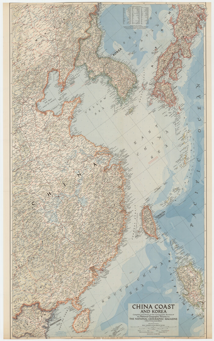

China Coast and Korea
1953
-
Size
25.5 x 40.6 inches
-
Map/Doc
92397
-
Creation Date
1953
Eastern Hemisphere


Print $20.00
- Digital $50.00
Eastern Hemisphere
1885
-
Size
12.2 x 9.0 inches
-
Map/Doc
93511
-
Creation Date
1885
Map of Asia (Inset: Palestine)


Print $20.00
- Digital $50.00
Map of Asia (Inset: Palestine)
1844
-
Size
12.1 x 19.0 inches
-
Map/Doc
93548
-
Creation Date
1844
Map of Asia designed to accompany Smith's Geography for Schools


Print $20.00
- Digital $50.00
Map of Asia designed to accompany Smith's Geography for Schools
1850
-
Size
9.6 x 12.0 inches
-
Map/Doc
93896
-
Creation Date
1850
Map of Asia engraved to illustrate Mitchell's new intermediate geography (Inset: Map of Palestine or the Holy Land)


Print $20.00
- Digital $50.00
Map of Asia engraved to illustrate Mitchell's new intermediate geography (Inset: Map of Palestine or the Holy Land)
1885
-
Size
9.0 x 12.2 inches
-
Map/Doc
93529
-
Creation Date
1885
Map of Asia engraved to illustrate Mitchell's school and family geography (Inset: Map of Palestine or the Holy Land)


Print $20.00
- Digital $50.00
Map of Asia engraved to illustrate Mitchell's school and family geography (Inset: Map of Palestine or the Holy Land)
1839
-
Size
9.5 x 11.8 inches
-
Map/Doc
93506
-
Creation Date
1839

