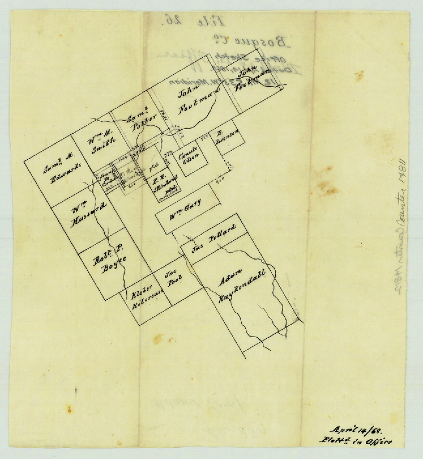
Bosque County Sketch File 26
[Office sketch of area southwest of Meridian]
-
Map/Doc
14811
-
Collection
General Map Collection
-
Object Dates
1868/4/14 (File Date)
1868/4/14 (Creation Date)
-
Counties
Bosque
-
Subjects
Surveying Sketch File
-
Height x Width
8.1 x 7.5 inches
20.6 x 19.1 cm
-
Medium
paper, manuscript
Part of: General Map Collection
Wharton County Sketch File 3a

Print $4.00
- Digital $50.00
Wharton County Sketch File 3a
1875
Size 6.8 x 4.6 inches
Map/Doc 39917
Carte Générale des États-Unis pour servir a l'Histoire de la Louisiane

Print $20.00
- Digital $50.00
Carte Générale des États-Unis pour servir a l'Histoire de la Louisiane
1829
Size 12.0 x 15.9 inches
Map/Doc 97260
Cameron County Rolled Sketch 25

Print $20.00
- Digital $50.00
Cameron County Rolled Sketch 25
1977
Size 24.8 x 36.8 inches
Map/Doc 5792
Edwards County Working Sketch 113

Print $20.00
- Digital $50.00
Edwards County Working Sketch 113
1972
Size 39.1 x 36.0 inches
Map/Doc 68989
Flight Mission No. DQO-3K, Frame 15, Galveston County

Print $20.00
- Digital $50.00
Flight Mission No. DQO-3K, Frame 15, Galveston County
1952
Size 18.7 x 22.4 inches
Map/Doc 85056
Kerr County Sketch File 24

Print $20.00
- Digital $50.00
Kerr County Sketch File 24
1967
Size 15.7 x 21.6 inches
Map/Doc 11923

Nueces County Working Sketch 4

Print $20.00
- Digital $50.00
Nueces County Working Sketch 4
1951
Size 46.8 x 36.2 inches
Map/Doc 71306

Railroad Track Map, T&PRRCo., Culberson County, Texas

Print $4.00
- Digital $50.00
Railroad Track Map, T&PRRCo., Culberson County, Texas
1910
Size 11.8 x 18.6 inches
Map/Doc 62828
Jeff Davis County Sketch File 8

Print $20.00
- Digital $50.00
Jeff Davis County Sketch File 8
1889
Size 19.5 x 28.5 inches
Map/Doc 11857
Lipscomb County Boundary File 6

Print $4.00
- Digital $50.00
Lipscomb County Boundary File 6
Size 11.1 x 8.6 inches
Map/Doc 56329
You may also like
Map of New Braunfels, Comal County, Texas

Print $20.00
Map of New Braunfels, Comal County, Texas
1868
Size 19.0 x 25.1 inches
Map/Doc 76282
Bastrop County Boundary File 2

Print $12.00
- Digital $50.00
Bastrop County Boundary File 2
Size 9.1 x 6.9 inches
Map/Doc 50315
Nueces County Sketch File 72

Print $13.00
- Digital $50.00
Nueces County Sketch File 72
1991
Size 11.1 x 8.8 inches
Map/Doc 33020
Flight Mission No. BQY-4M, Frame 31, Harris County

Print $20.00
- Digital $50.00
Flight Mission No. BQY-4M, Frame 31, Harris County
1953
Size 18.5 x 22.3 inches
Map/Doc 85246
Padre Island National Seashore

Print $4.00
- Digital $50.00
Padre Island National Seashore
Size 16.0 x 21.9 inches
Map/Doc 60526
[G. & M. Block 5]
![91782, [G. & M. Block 5], Twichell Survey Records](https://historictexasmaps.com/wmedia_w700/maps/91782-1.tif.jpg)
Print $20.00
- Digital $50.00
[G. & M. Block 5]
Size 31.8 x 26.6 inches
Map/Doc 91782
Jackson County Rolled Sketch 10

Print $20.00
- Digital $50.00
Jackson County Rolled Sketch 10
1941
Size 47.1 x 32.5 inches
Map/Doc 9259
Map Showing Lands Originally Granted to the T. & N. O. and the H. & T. C. Railway Companies in Moore County, Texas

Print $20.00
- Digital $50.00
Map Showing Lands Originally Granted to the T. & N. O. and the H. & T. C. Railway Companies in Moore County, Texas
Size 14.2 x 14.6 inches
Map/Doc 91520
Right of Way & Track Map, San Antonio & Aransas Pass Railway Co.

Print $40.00
- Digital $50.00
Right of Way & Track Map, San Antonio & Aransas Pass Railway Co.
1919
Size 25.0 x 56.7 inches
Map/Doc 64215
General Highway Map, Calhoun County, Texas

Print $20.00
General Highway Map, Calhoun County, Texas
1940
Size 18.5 x 25.3 inches
Map/Doc 79036
[Surveys along Rabb's Creek]
![154, [Surveys along Rabb's Creek], General Map Collection](https://historictexasmaps.com/wmedia_w700/maps/154.tif.jpg)
Print $2.00
- Digital $50.00
[Surveys along Rabb's Creek]
1841
Size 8.7 x 11.0 inches
Map/Doc 154
Flight Mission No. BRE-1P, Frame 137, Nueces County

Print $20.00
- Digital $50.00
Flight Mission No. BRE-1P, Frame 137, Nueces County
1956
Size 18.7 x 22.6 inches
Map/Doc 86697