[Surveys in Austin's Colony at Carancahua Bay]
Atlas D, Sketch 36 (D-36)
D-36
-
Map/Doc
172
-
Collection
General Map Collection
-
Counties
Jackson
-
Subjects
Atlas
-
Height x Width
22.5 x 17.4 inches
57.2 x 44.2 cm
-
Medium
paper, manuscript
-
Comments
Conserved in 2003.
-
Features
Looney's Creek
Gene's Creek
Karankawa Bayou
East Fork of Karankawa Bayou
Kellers Bay
Karankawa Bay
Matagorda Bay
Part of: General Map Collection
Arroyo Colorado, Rio Hondo Sheet


Print $40.00
- Digital $50.00
Arroyo Colorado, Rio Hondo Sheet
1929
Size 35.0 x 52.6 inches
Map/Doc 65129
Archer County Sketch File 17

Print $4.00
- Digital $50.00
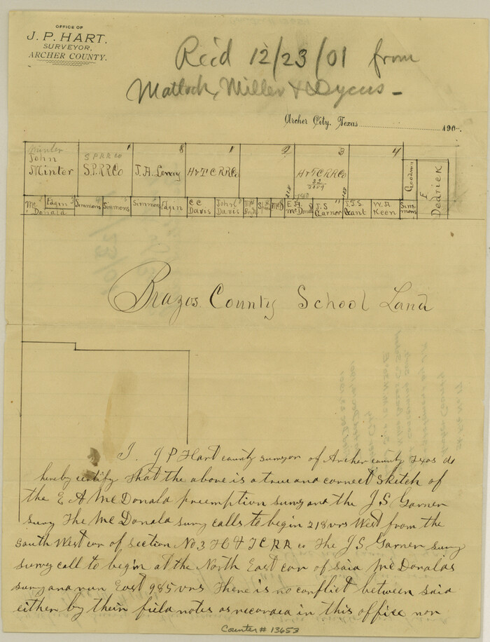
Archer County Sketch File 17
1901
Size 11.3 x 8.6 inches
Map/Doc 13653
Trinity County Working Sketch 25


Print $20.00
- Digital $50.00
Trinity County Working Sketch 25
2010
Size 39.7 x 28.7 inches
Map/Doc 89600
Harris County Working Sketch 73

Print $20.00
- Digital $50.00
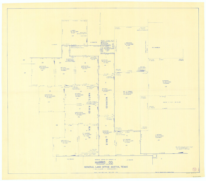
Harris County Working Sketch 73
1959
Size 33.5 x 38.1 inches
Map/Doc 65965
Presidio County Working Sketch 9a


Print $20.00
- Digital $50.00
Presidio County Working Sketch 9a
1933
Size 17.3 x 12.2 inches
Map/Doc 71684
Leon County Sketch File 10

Print $64.00
- Digital $50.00
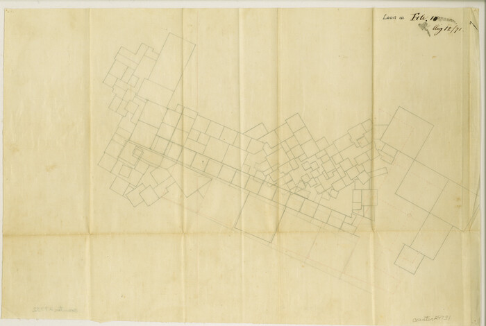
Leon County Sketch File 10
1871
Size 10.6 x 15.7 inches
Map/Doc 29731
Flight Mission No. DQN-1K, Frame 108, Calhoun County

Print $20.00
- Digital $50.00
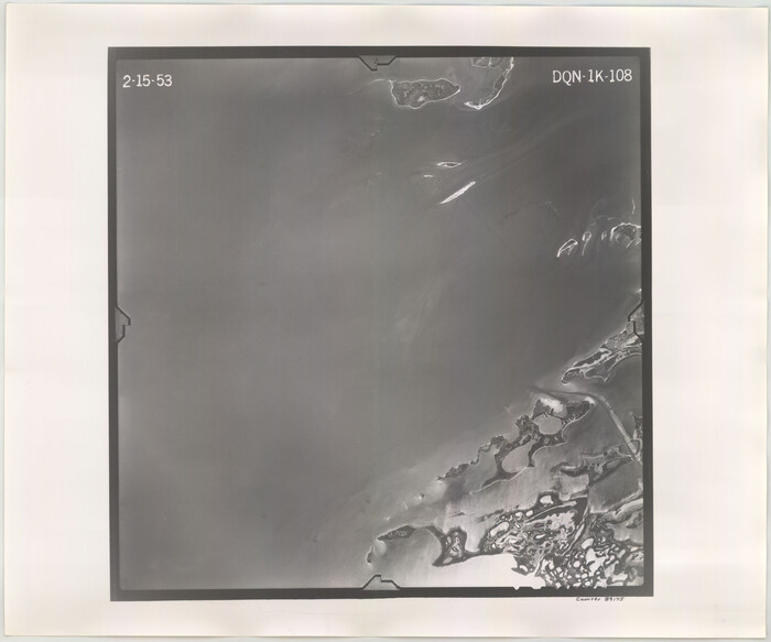
Flight Mission No. DQN-1K, Frame 108, Calhoun County
1953
Size 18.4 x 22.1 inches
Map/Doc 84175
Parmer County Sketch File 4


Print $44.00
- Digital $50.00
Parmer County Sketch File 4
1913
Size 7.1 x 8.6 inches
Map/Doc 33630
San Patricio County Rolled Sketch 46


Print $20.00
- Digital $50.00
San Patricio County Rolled Sketch 46
1983
Size 19.6 x 25.5 inches
Map/Doc 7730
Kinney County Sketch File 35


Print $6.00
- Digital $50.00
Kinney County Sketch File 35
1944
Size 14.2 x 8.7 inches
Map/Doc 29185
Orange County Aerial Photograph Index Sheet 1


Print $20.00
- Digital $50.00
Orange County Aerial Photograph Index Sheet 1
1957
Size 24.1 x 20.4 inches
Map/Doc 83740
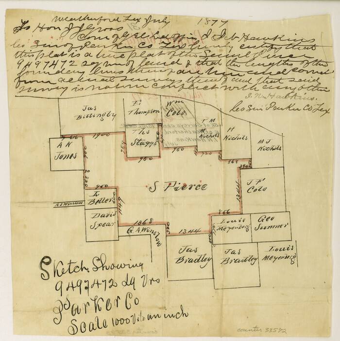
Parker County Sketch File 31

Print $6.00
- Digital $50.00
Parker County Sketch File 31
1877
Size 9.9 x 9.8 inches
Map/Doc 33572
You may also like
[Township 3 North, Block 33]
![91215, [Township 3 North, Block 33], Twichell Survey Records](https://historictexasmaps.com/wmedia_w700/maps/91215-1.tif.jpg)
![91215, [Township 3 North, Block 33], Twichell Survey Records](https://historictexasmaps.com/wmedia_w700/maps/91215-1.tif.jpg)
Print $3.00
- Digital $50.00
[Township 3 North, Block 33]
Size 11.2 x 17.0 inches
Map/Doc 91215
Dickens County


Print $20.00
- Digital $50.00
Dickens County
1891
Size 24.5 x 20.2 inches
Map/Doc 4533
Brewster County Sketch File B

Print $40.00
- Digital $50.00
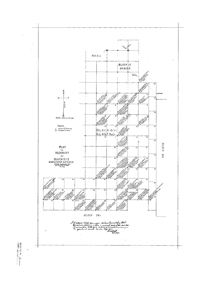
Brewster County Sketch File B
1910
Size 25.5 x 18.3 inches
Map/Doc 10975
Map of Matagorda Bay and County, with the adjacent country

Print $20.00
- Digital $50.00
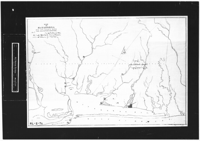
Map of Matagorda Bay and County, with the adjacent country
1846
Size 18.3 x 26.0 inches
Map/Doc 72765
Bell County Working Sketch Graphic Index

Print $40.00
- Digital $50.00
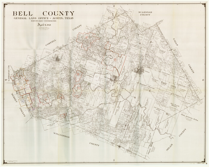
Bell County Working Sketch Graphic Index
1945
Size 42.6 x 52.8 inches
Map/Doc 76465
Edwards County Working Sketch 12
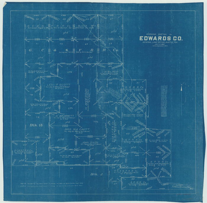

Print $20.00
- Digital $50.00
Edwards County Working Sketch 12
1922
Size 26.2 x 26.7 inches
Map/Doc 68888
Le Golfe de Mexique, et les Provinces et Isles qui l'Environe comme sont la Floride au nord, le Mexique ou Nouvelle Espagne a l'ouest, la Terre-Ferme au sud, les Is. Antilles, Lucayes, St. Domingue et Jamaique a l'est
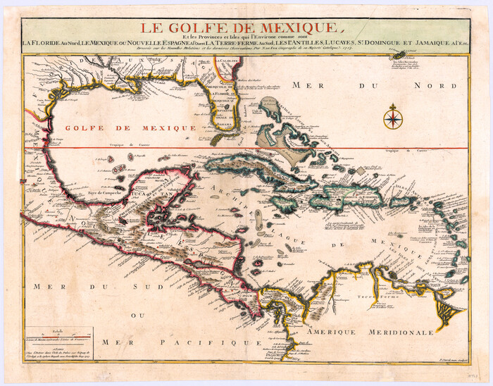

Print $20.00
- Digital $50.00
Le Golfe de Mexique, et les Provinces et Isles qui l'Environe comme sont la Floride au nord, le Mexique ou Nouvelle Espagne a l'ouest, la Terre-Ferme au sud, les Is. Antilles, Lucayes, St. Domingue et Jamaique a l'est
1717
Size 20.2 x 25.7 inches
Map/Doc 95923
Baylor County Sketch File 1a


Print $8.00
- Digital $50.00
Baylor County Sketch File 1a
1857
Size 8.2 x 7.9 inches
Map/Doc 14144
Map of Collin County
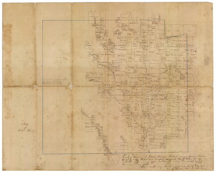

Print $20.00
- Digital $50.00
Map of Collin County
1850
Size 18.1 x 22.5 inches
Map/Doc 4519
West End Place Part of NW Quarter Section 44, Block AK
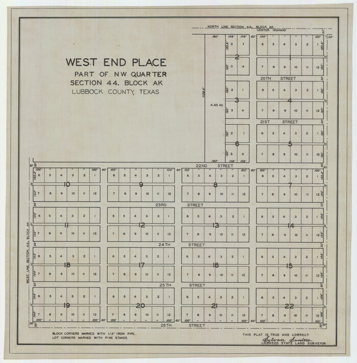

Print $20.00
- Digital $50.00
West End Place Part of NW Quarter Section 44, Block AK
Size 16.0 x 16.4 inches
Map/Doc 92346
Flight Mission No. DQO-2K, Frame 100, Galveston County

Print $20.00
- Digital $50.00
Flight Mission No. DQO-2K, Frame 100, Galveston County
1952
Size 18.7 x 22.4 inches
Map/Doc 85027
![172, [Surveys in Austin's Colony at Carancahua Bay], General Map Collection](https://historictexasmaps.com/wmedia_w1800h1800/maps/172.tif.jpg)
![92508, [Block A31], Twichell Survey Records](https://historictexasmaps.com/wmedia_w700/maps/92508-1.tif.jpg)