![1766, [Capitol League Surveys in Hartley County, Texas], General Map Collection](https://historictexasmaps.com/wmedia_w1800h1800/maps/1766.tif.jpg)
[Capitol League Surveys in Hartley County, Texas]
N-2-68
-
Map/Doc
1766
-
Collection
General Map Collection
-
Object Dates
1910 (Creation Date)
-
People and Organizations
General Land Office (Publisher)
-
Counties
Hartley
-
Height x Width
19.6 x 27.9 inches
49.8 x 70.9 cm
Part of: General Map Collection
Flight Mission No. CRE-1R, Frame 120, Jackson County

Print $20.00
- Digital $50.00
Flight Mission No. CRE-1R, Frame 120, Jackson County
1956
Size 16.1 x 15.9 inches
Map/Doc 85331
Real County Working Sketch 19

Print $3.00
- Digital $50.00
Real County Working Sketch 19
1944
Size 12.0 x 10.4 inches
Map/Doc 71911
Martin County Sketch File 10

Print $50.00
- Digital $50.00
Martin County Sketch File 10
Size 11.2 x 8.8 inches
Map/Doc 30644
Terrell County Working Sketch 74

Print $20.00
- Digital $50.00
Terrell County Working Sketch 74
1981
Size 37.5 x 24.6 inches
Map/Doc 69595
Dallas County Sketch File 16

Print $4.00
- Digital $50.00
Dallas County Sketch File 16
Size 8.0 x 8.4 inches
Map/Doc 20435
Hardin County Working Sketch 17

Print $20.00
- Digital $50.00
Hardin County Working Sketch 17
1942
Size 18.4 x 12.6 inches
Map/Doc 63415
Hardin County Rolled Sketch W

Print $40.00
- Digital $50.00
Hardin County Rolled Sketch W
1937
Size 48.6 x 44.4 inches
Map/Doc 9105
Nueces County Rolled Sketch 19
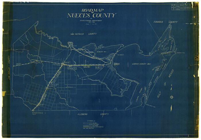
Print $20.00
- Digital $50.00
Nueces County Rolled Sketch 19
1920
Size 22.5 x 32.7 inches
Map/Doc 6872
Jefferson County Sketch File 2

Print $50.00
- Digital $50.00
Jefferson County Sketch File 2
Size 11.2 x 8.8 inches
Map/Doc 28090
Flight Mission No. DAG-24K, Frame 147, Matagorda County

Print $20.00
- Digital $50.00
Flight Mission No. DAG-24K, Frame 147, Matagorda County
1953
Size 17.1 x 15.7 inches
Map/Doc 86561
Stephens County Working Sketch 25

Print $20.00
- Digital $50.00
Stephens County Working Sketch 25
1976
Size 37.4 x 32.3 inches
Map/Doc 63968
Shelby County Sketch File 30

Print $4.00
- Digital $50.00
Shelby County Sketch File 30
1927
Size 14.3 x 8.8 inches
Map/Doc 36668
You may also like
Galveston Bay and Approaches

Print $20.00
- Digital $50.00
Galveston Bay and Approaches
1966
Size 43.3 x 32.6 inches
Map/Doc 69879
Red River County Working Sketch 32

Print $20.00
- Digital $50.00
Red River County Working Sketch 32
1962
Size 27.6 x 20.0 inches
Map/Doc 72015
Edwards County Working Sketch 37

Print $20.00
- Digital $50.00
Edwards County Working Sketch 37
1948
Size 23.1 x 35.5 inches
Map/Doc 68913
Kendall County Working Sketch 4

Print $20.00
- Digital $50.00
Kendall County Working Sketch 4
1946
Size 25.7 x 24.3 inches
Map/Doc 66676
Culberson County Working Sketch 40a

Print $20.00
- Digital $50.00
Culberson County Working Sketch 40a
1981
Size 37.3 x 38.6 inches
Map/Doc 68494
McLennan County Sketch File 1a

Print $4.00
- Digital $50.00
McLennan County Sketch File 1a
1872
Size 8.0 x 12.2 inches
Map/Doc 31226
Jack County Sketch File 16a

Print $4.00
- Digital $50.00
Jack County Sketch File 16a
1885
Size 8.3 x 11.8 inches
Map/Doc 27551
Slaton-Tex Sewer System

Print $20.00
- Digital $50.00
Slaton-Tex Sewer System
1922
Size 44.3 x 30.6 inches
Map/Doc 92819
Jack County Working Sketch 16

Print $20.00
- Digital $50.00
Jack County Working Sketch 16
1982
Size 25.7 x 25.7 inches
Map/Doc 66442
Reagan County Sketch File 25

Print $20.00
- Digital $50.00
Reagan County Sketch File 25
1941
Size 18.1 x 23.9 inches
Map/Doc 12222
Flight Mission No. BQY-4M, Frame 66, Harris County

Print $20.00
- Digital $50.00
Flight Mission No. BQY-4M, Frame 66, Harris County
1953
Size 18.4 x 22.3 inches
Map/Doc 85275
Nacogdoches County Sketch File 2

Print $4.00
- Digital $50.00
Nacogdoches County Sketch File 2
1852
Size 8.0 x 6.4 inches
Map/Doc 32235