[Surveys in the Milam District along the Leon River]
Atlas G, Page 3, Sketch 4 (G-3-4)
G-3-4
-
Map/Doc
272
-
Collection
General Map Collection
-
Object Dates
1845 (Creation Date)
-
People and Organizations
J. Snively (Surveyor/Engineer)
-
Counties
Hamilton Comanche
-
Subjects
Atlas
-
Height x Width
12.0 x 15.4 inches
30.5 x 39.1 cm
-
Medium
paper, manuscript
-
Scale
[1:4000]
-
Comments
Conserved in 2003.
Part of: General Map Collection
Brazoria County Working Sketch 33
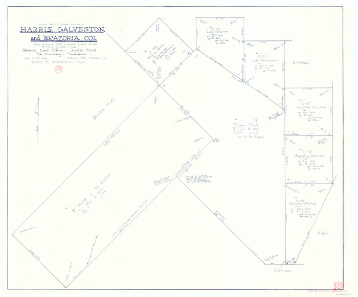

Print $20.00
- Digital $50.00
Brazoria County Working Sketch 33
1980
Size 29.6 x 35.6 inches
Map/Doc 67518
Burleson County Working Sketch 3
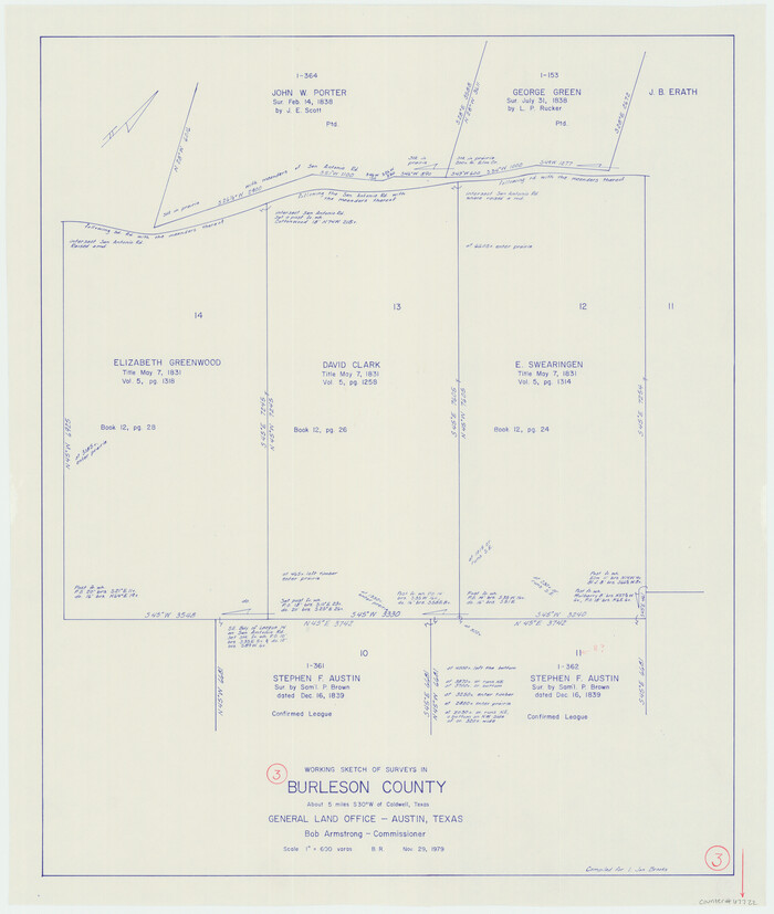

Print $20.00
- Digital $50.00
Burleson County Working Sketch 3
1979
Size 26.5 x 22.5 inches
Map/Doc 67722
DeWitt County Sketch File 4
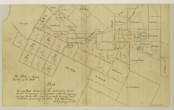

Print $4.00
- Digital $50.00
DeWitt County Sketch File 4
1872
Size 8.3 x 13.1 inches
Map/Doc 20801
Liberty County Sketch File AX


Print $10.00
- Digital $50.00
Liberty County Sketch File AX
1899
Size 14.1 x 8.5 inches
Map/Doc 30061
Reeves County Rolled Sketch 19


Print $20.00
- Digital $50.00
Reeves County Rolled Sketch 19
1969
Size 23.8 x 21.5 inches
Map/Doc 7488
[Maps of surveys in Reeves & Culberson Cos]
![61146, [Maps of surveys in Reeves & Culberson Cos], General Map Collection](https://historictexasmaps.com/wmedia_w700/maps/61146.tif.jpg)
![61146, [Maps of surveys in Reeves & Culberson Cos], General Map Collection](https://historictexasmaps.com/wmedia_w700/maps/61146.tif.jpg)
Print $20.00
- Digital $50.00
[Maps of surveys in Reeves & Culberson Cos]
1937
Size 30.8 x 24.9 inches
Map/Doc 61146
Dimmit County Working Sketch 57


Print $20.00
- Digital $50.00
Dimmit County Working Sketch 57
2008
Size 26.1 x 31.7 inches
Map/Doc 88847
Flight Mission No. CRC-3R, Frame 50, Chambers County


Print $20.00
- Digital $50.00
Flight Mission No. CRC-3R, Frame 50, Chambers County
1956
Size 18.7 x 22.3 inches
Map/Doc 84823
Montague County Rolled Sketch 5
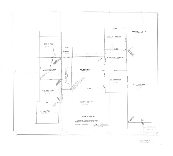

Print $20.00
- Digital $50.00
Montague County Rolled Sketch 5
Size 27.3 x 30.2 inches
Map/Doc 6789
Ellis County Sketch File 18


Print $40.00
- Digital $50.00
Ellis County Sketch File 18
Size 16.0 x 12.8 inches
Map/Doc 21862
Navarro County Working Sketch 3


Print $40.00
- Digital $50.00
Navarro County Working Sketch 3
1921
Size 43.8 x 64.6 inches
Map/Doc 71233
El Paso County Rolled Sketch 47
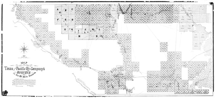

Print $40.00
- Digital $50.00
El Paso County Rolled Sketch 47
1885
Size 41.3 x 90.4 inches
Map/Doc 8874
You may also like
Maps of Gulf Intracoastal Waterway, Texas - Sabine River to the Rio Grande and connecting waterways including ship channels
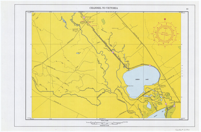

Print $20.00
- Digital $50.00
Maps of Gulf Intracoastal Waterway, Texas - Sabine River to the Rio Grande and connecting waterways including ship channels
1966
Size 14.6 x 22.2 inches
Map/Doc 61961
Pecos County Working Sketch 125
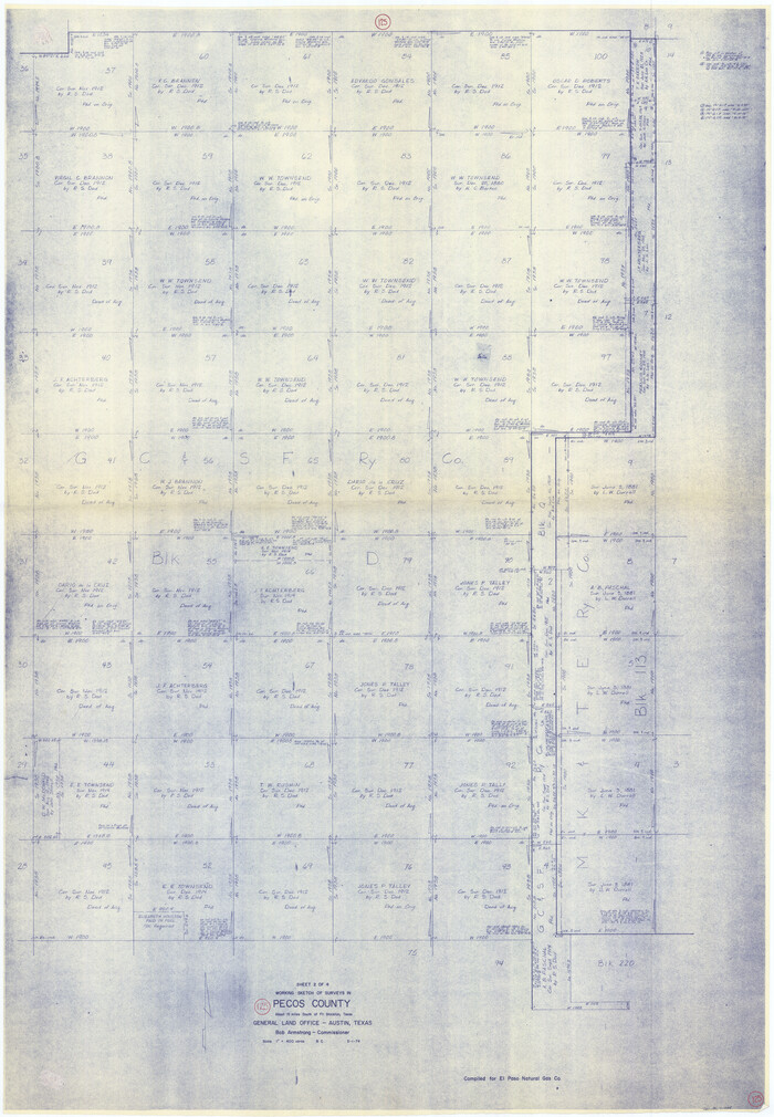

Print $40.00
- Digital $50.00
Pecos County Working Sketch 125
1974
Size 53.4 x 37.0 inches
Map/Doc 71598
Map of the United States constructed from the latest authorities
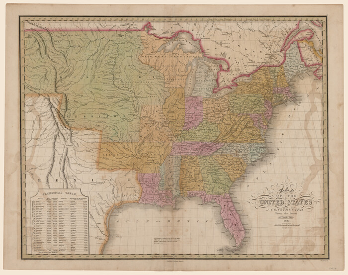

Print $20.00
- Digital $50.00
Map of the United States constructed from the latest authorities
1825
Size 19.4 x 24.5 inches
Map/Doc 93924
Morris County Rolled Sketch 2A


Print $20.00
- Digital $50.00
Morris County Rolled Sketch 2A
Size 36.7 x 25.1 inches
Map/Doc 10259
Jackson County Working Sketch Graphic Index


Print $20.00
- Digital $50.00
Jackson County Working Sketch Graphic Index
1920
Size 47.0 x 40.3 inches
Map/Doc 76590
Brazoria County Sketch File 44
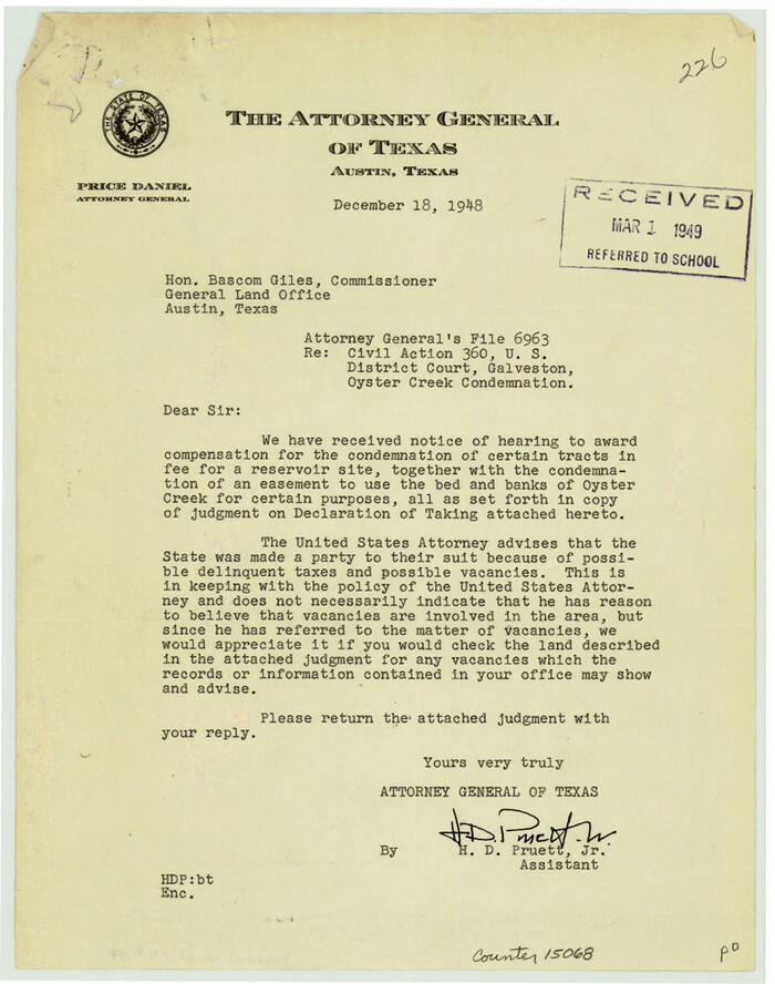

Print $30.00
- Digital $50.00
Brazoria County Sketch File 44
1946
Size 11.3 x 8.9 inches
Map/Doc 15068
Travis County Sketch File 43


Print $30.00
- Digital $50.00
Travis County Sketch File 43
1887
Size 8.8 x 9.3 inches
Map/Doc 38359
Brewster County Rolled Sketch 100

Print $133.00
- Digital $50.00
Brewster County Rolled Sketch 100
1893
Size 10.1 x 15.4 inches
Map/Doc 43055
Anderson County Boundary File 2
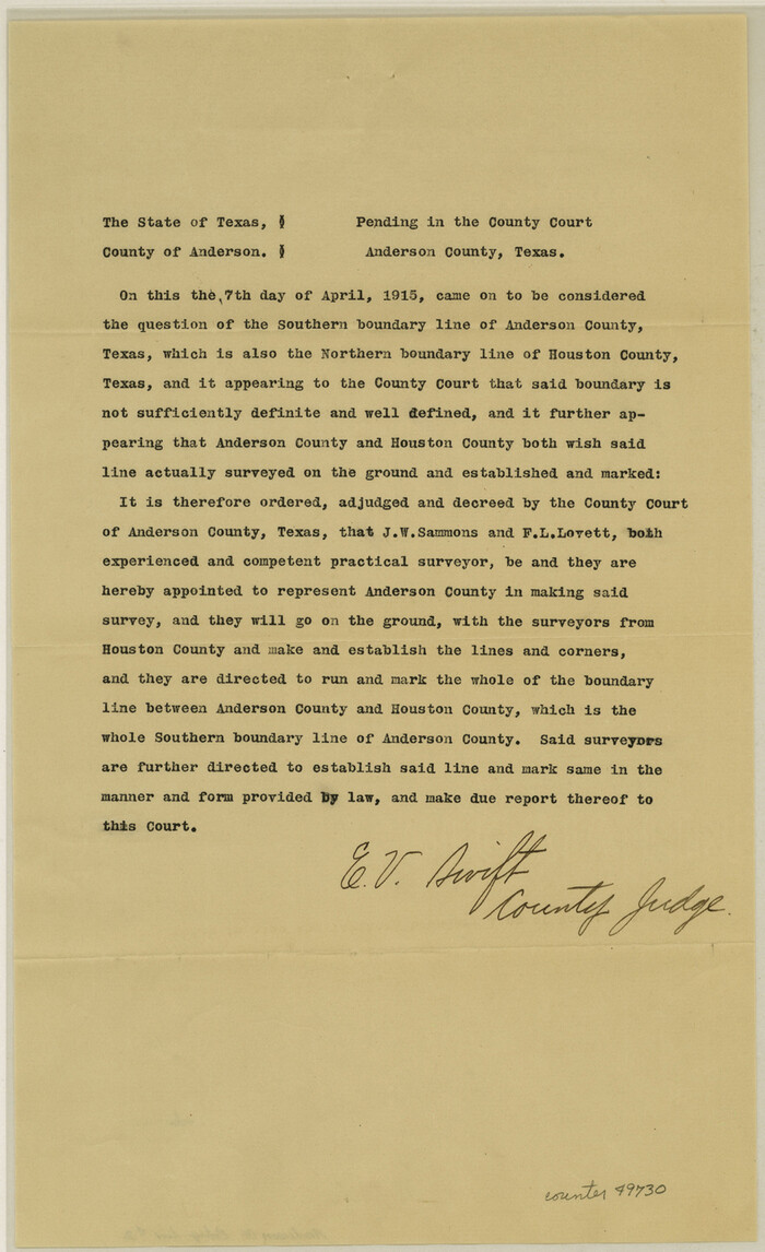

Print $8.00
- Digital $50.00
Anderson County Boundary File 2
Size 14.3 x 8.7 inches
Map/Doc 49730
Uvalde County Sketch File 11
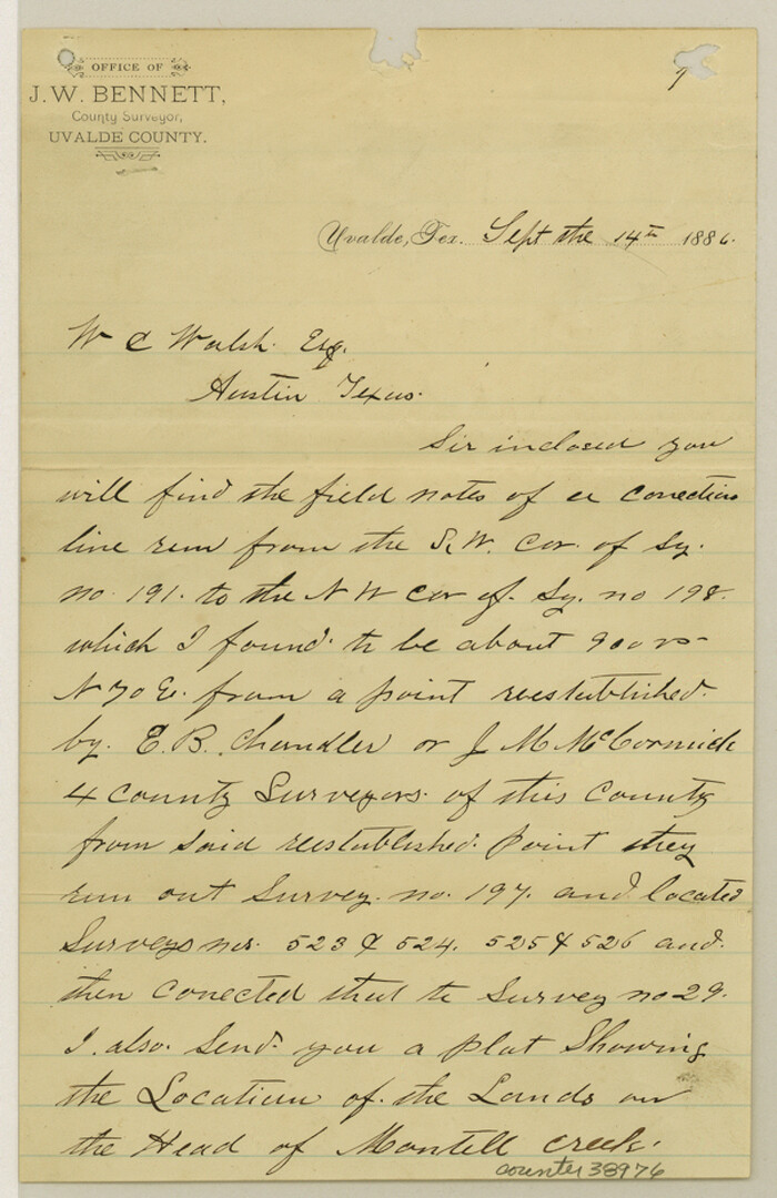

Print $46.00
- Digital $50.00
Uvalde County Sketch File 11
1886
Size 12.1 x 13.1 inches
Map/Doc 38972
Maverick County Sketch File 4


Print $4.00
- Digital $50.00
Maverick County Sketch File 4
1876
Size 9.1 x 8.2 inches
Map/Doc 31051
Kimble County Working Sketch 3
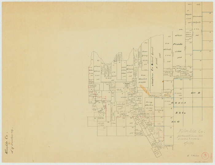

Print $20.00
- Digital $50.00
Kimble County Working Sketch 3
1897
Size 16.4 x 21.4 inches
Map/Doc 70071
![272, [Surveys in the Milam District along the Leon River], General Map Collection](https://historictexasmaps.com/wmedia_w1800h1800/maps/272.tif.jpg)