[Surveys in Tyler County]
Atlas G, Page 6, Sketch 18 (G-6-18)
G-6-18
-
Map/Doc
352
-
Collection
General Map Collection
-
Object Dates
1847 (Creation Date)
-
People and Organizations
H. Jackson (Surveyor/Engineer)
-
Counties
Tyler
-
Subjects
Atlas
-
Height x Width
8.3 x 5.2 inches
21.1 x 13.2 cm
-
Medium
paper, manuscript
-
Comments
Conserved in 2003.
Part of: General Map Collection
Presidio County Rolled Sketch 80A
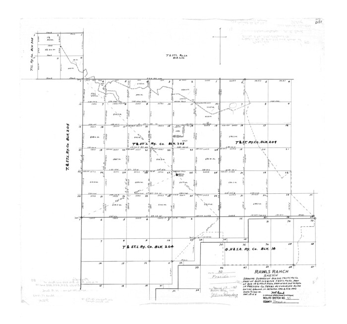

Print $20.00
- Digital $50.00
Presidio County Rolled Sketch 80A
Size 26.9 x 28.9 inches
Map/Doc 7367
Hale County Sketch File 10

Print $6.00
- Digital $50.00
Hale County Sketch File 10
1895
Size 16.3 x 9.4 inches
Map/Doc 24737
Coast Chart No. 210 Aransas Pass and Corpus Christi Bay with the coast to latitude 27° 12' Texas
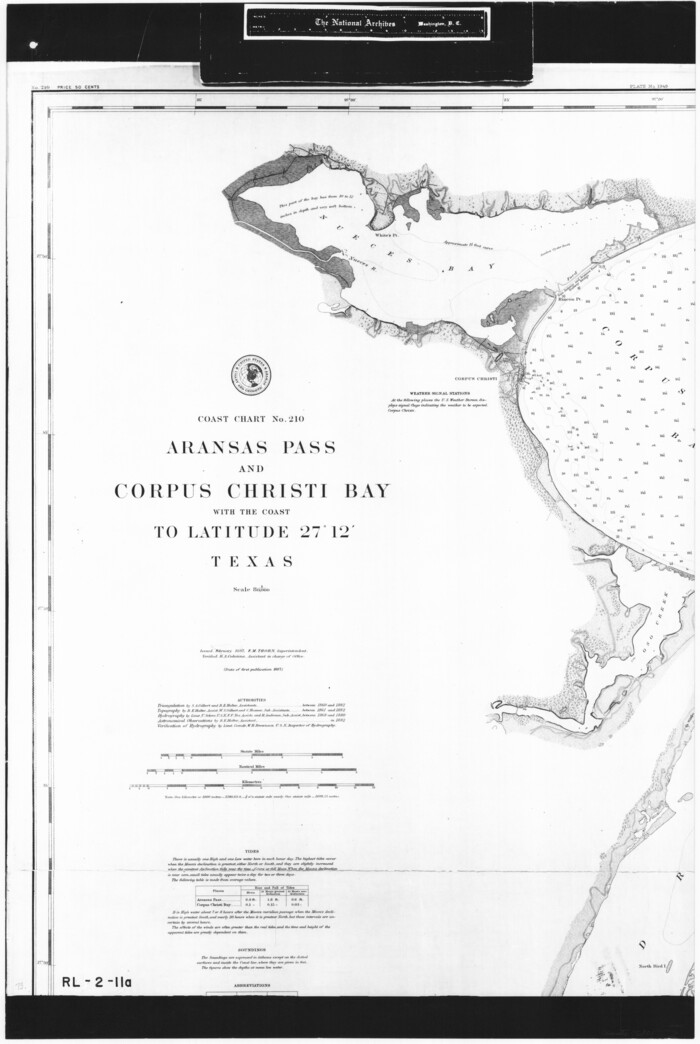

Print $20.00
- Digital $50.00
Coast Chart No. 210 Aransas Pass and Corpus Christi Bay with the coast to latitude 27° 12' Texas
1887
Size 27.2 x 18.2 inches
Map/Doc 72801
Nolan County Rolled Sketch 4


Print $20.00
- Digital $50.00
Nolan County Rolled Sketch 4
1982
Size 21.7 x 25.2 inches
Map/Doc 6862
Sutton County Sketch File 33a-b

Print $7.00
- Digital $50.00
Sutton County Sketch File 33a-b
1934
Size 8.4 x 8.4 inches
Map/Doc 37469
Flight Mission No. DAG-17K, Frame 120, Matagorda County
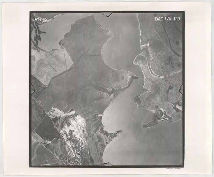

Print $20.00
- Digital $50.00
Flight Mission No. DAG-17K, Frame 120, Matagorda County
1952
Size 18.6 x 22.4 inches
Map/Doc 86340
Culberson County Working Sketch 28
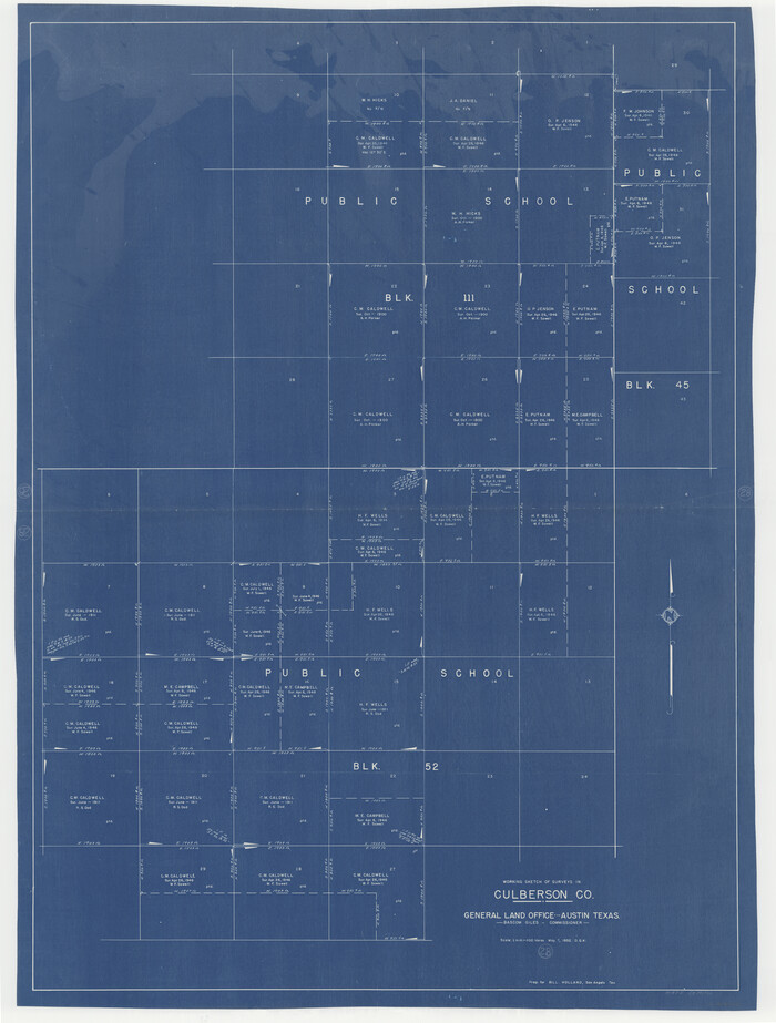

Print $40.00
- Digital $50.00
Culberson County Working Sketch 28
1952
Size 51.3 x 38.9 inches
Map/Doc 68481
Tarrant County Sketch File 5
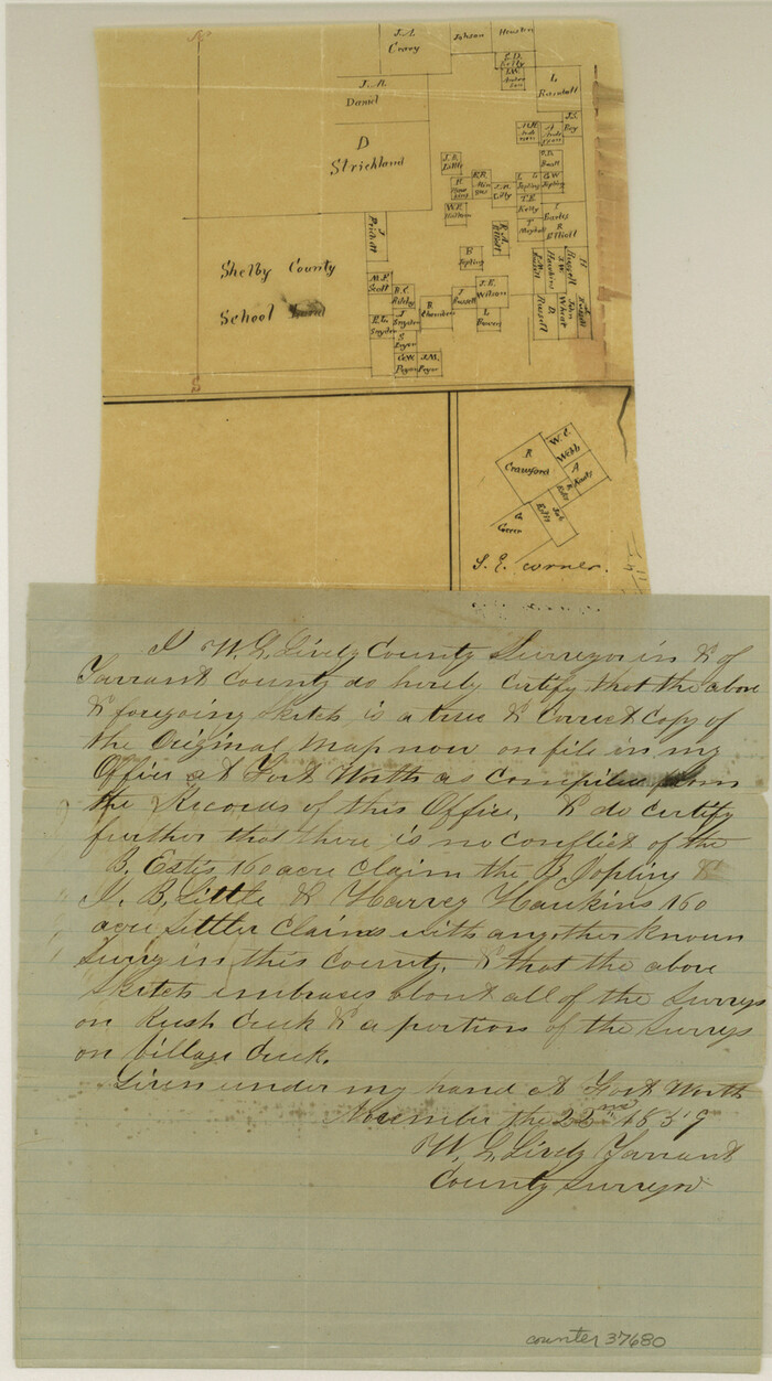

Print $4.00
- Digital $50.00
Tarrant County Sketch File 5
1859
Size 14.5 x 8.1 inches
Map/Doc 37680
Map of Mason County


Print $20.00
- Digital $50.00
Map of Mason County
1879
Size 22.5 x 18.8 inches
Map/Doc 3839
Map of Texas and the country adjacent


Print $20.00
- Digital $50.00
Map of Texas and the country adjacent
1844
Size 18.3 x 26.5 inches
Map/Doc 73052
Kleberg County Aerial Photograph Index Sheet 4


Print $20.00
- Digital $50.00
Kleberg County Aerial Photograph Index Sheet 4
1956
Size 19.3 x 23.3 inches
Map/Doc 83721
Cass County Working Sketch 46
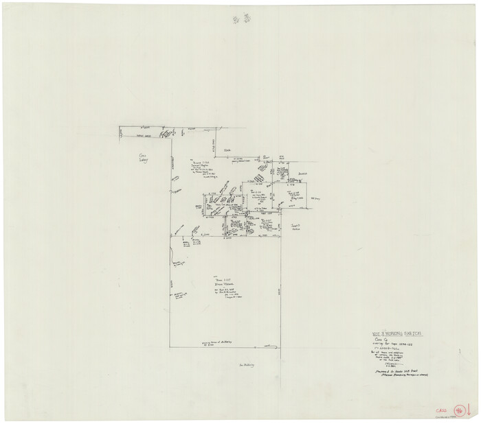

Print $20.00
- Digital $50.00
Cass County Working Sketch 46
1989
Size 26.8 x 30.6 inches
Map/Doc 67949
You may also like
Bell County, Texas
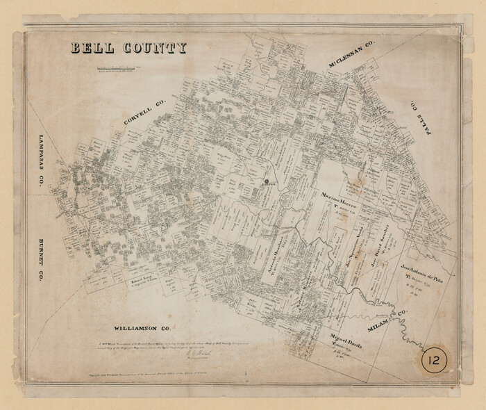

Print $20.00
- Digital $50.00
Bell County, Texas
1879
Size 23.7 x 29.0 inches
Map/Doc 516
Hunt County Sketch File 11


Print $4.00
- Digital $50.00
Hunt County Sketch File 11
1860
Size 12.1 x 7.6 inches
Map/Doc 27102
Flight Mission No. BRA-8M, Frame 73, Jefferson County
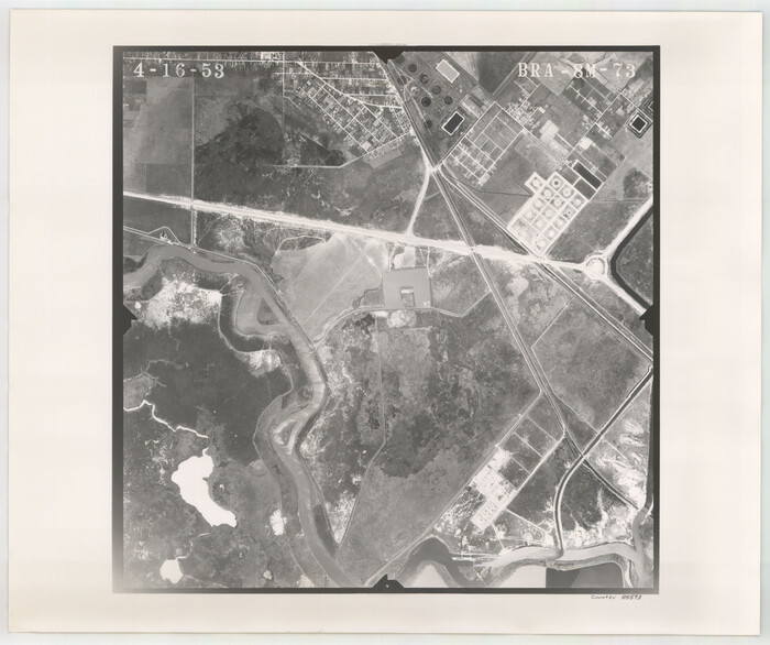

Print $20.00
- Digital $50.00
Flight Mission No. BRA-8M, Frame 73, Jefferson County
1953
Size 18.7 x 22.3 inches
Map/Doc 85593
Rio Grande, Lower Rio Grande Valley/Bulletin 29-A


Print $4.00
- Digital $50.00
Rio Grande, Lower Rio Grande Valley/Bulletin 29-A
1937
Size 12.1 x 24.0 inches
Map/Doc 65103
Map of S. E. Pecos County with a part of Crockett County, Texas
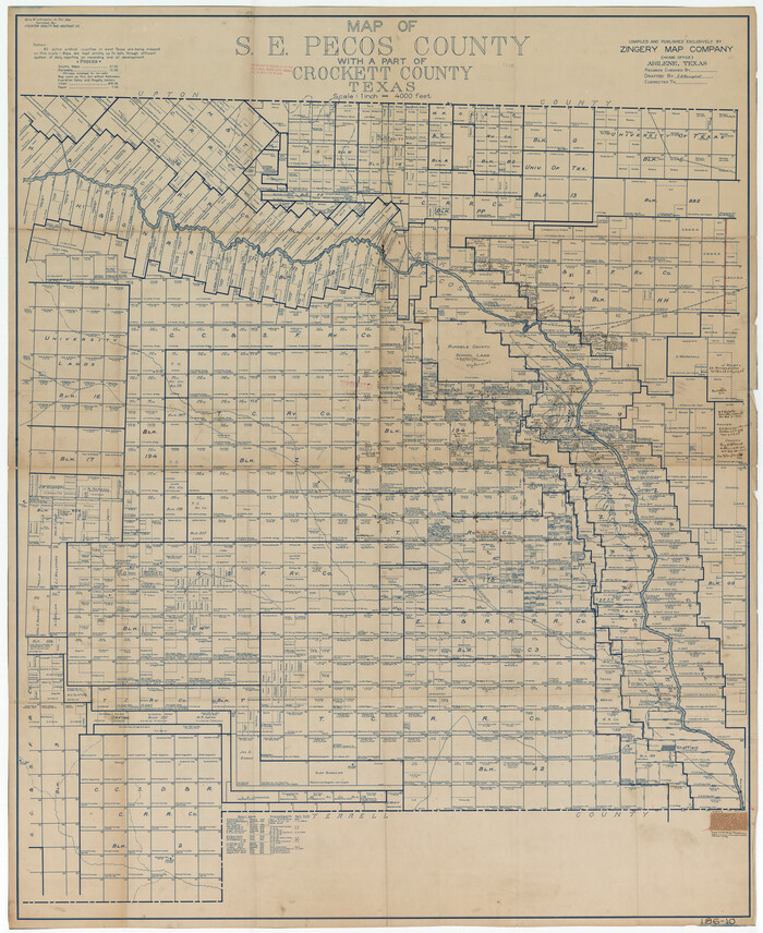

Print $40.00
- Digital $50.00
Map of S. E. Pecos County with a part of Crockett County, Texas
1927
Size 42.2 x 51.6 inches
Map/Doc 89804
Harris County Rolled Sketch 80A
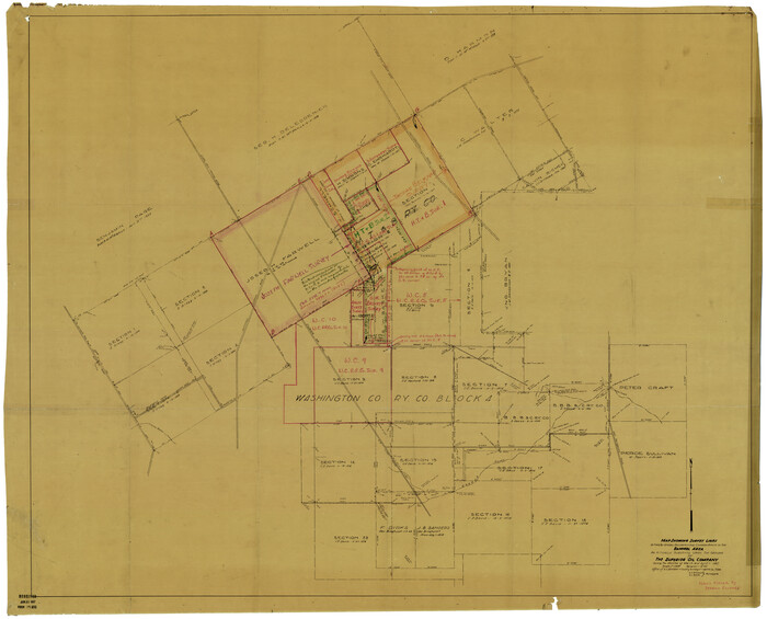

Print $40.00
- Digital $50.00
Harris County Rolled Sketch 80A
Size 42.8 x 52.6 inches
Map/Doc 9136
From Citizens of Colorado and Matagorda Counties for the Creation of a New County (Unnamed), August 6, 1840


Print $20.00
From Citizens of Colorado and Matagorda Counties for the Creation of a New County (Unnamed), August 6, 1840
2020
Size 18.5 x 21.7 inches
Map/Doc 96389
Concho County Sketch File 8
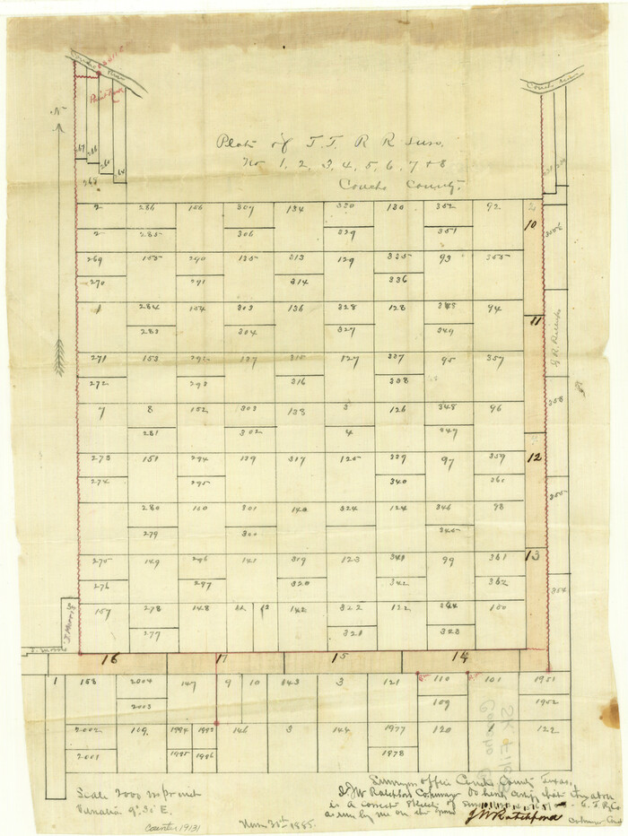

Print $44.00
- Digital $50.00
Concho County Sketch File 8
1886
Size 16.2 x 12.2 inches
Map/Doc 19131
Van Zandt County Sketch File 9
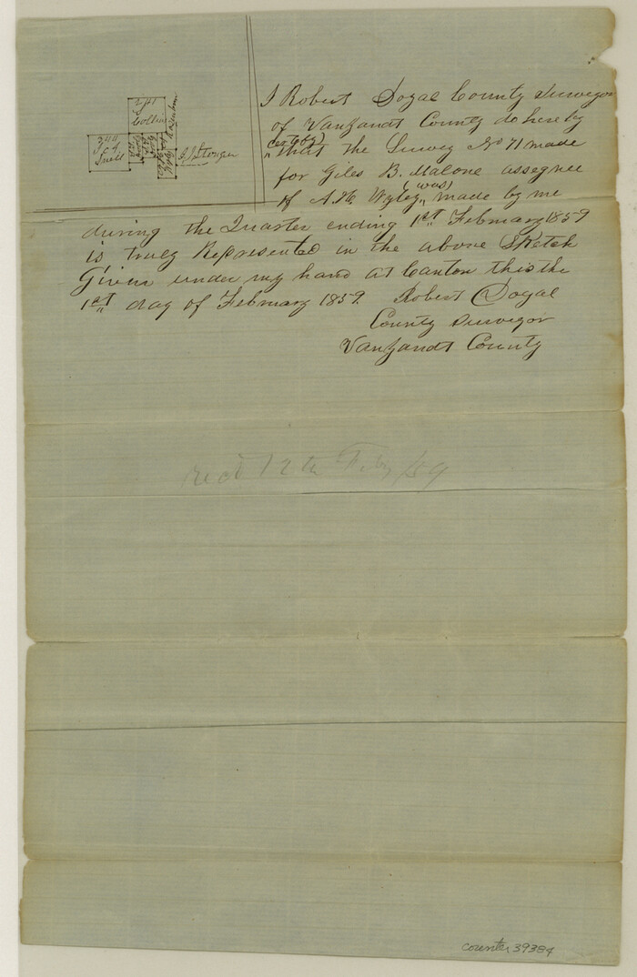

Print $18.00
- Digital $50.00
Van Zandt County Sketch File 9
1859
Size 12.9 x 8.4 inches
Map/Doc 39384
Presidio County Sketch File 97
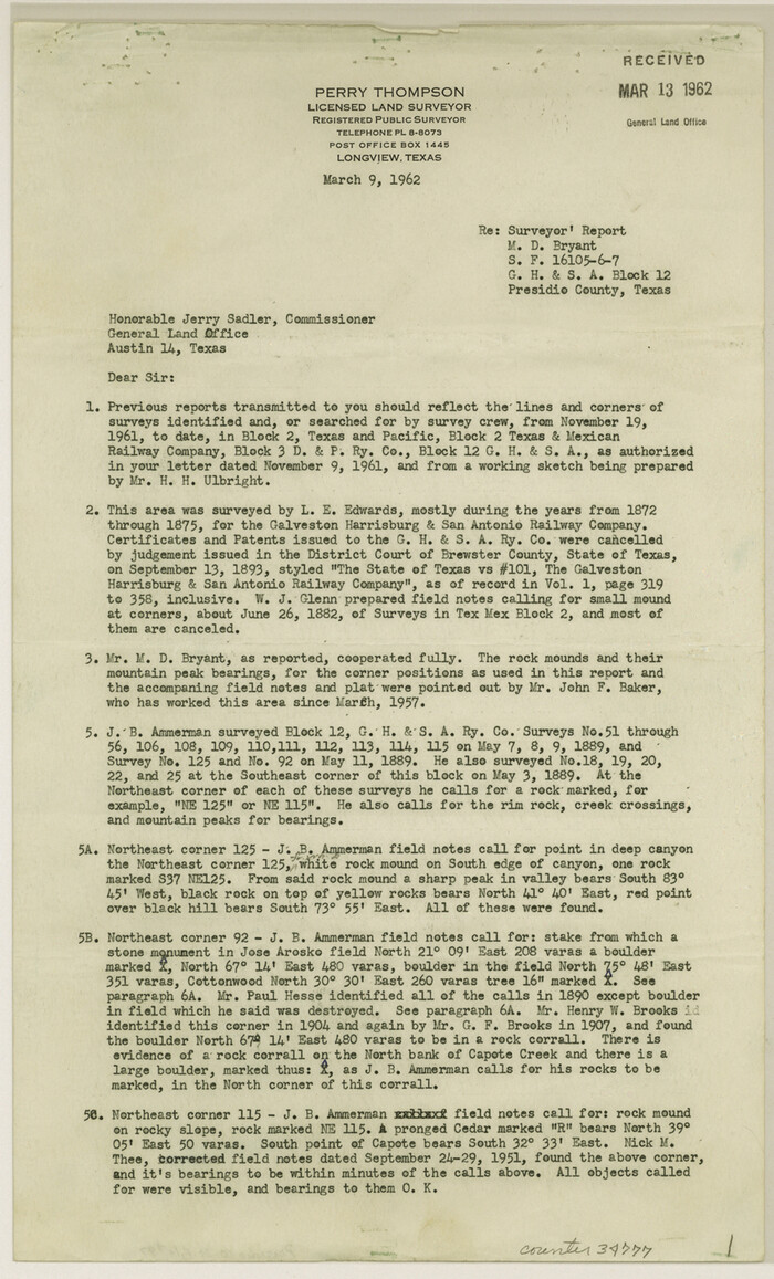

Print $12.00
- Digital $50.00
Presidio County Sketch File 97
1962
Size 14.4 x 8.7 inches
Map/Doc 34777
Frio County Rolled Sketch HM


Print $20.00
- Digital $50.00
Frio County Rolled Sketch HM
1935
Size 41.2 x 30.6 inches
Map/Doc 8898
Jefferson County Sketch File 15a


Print $8.00
- Digital $50.00
Jefferson County Sketch File 15a
1872
Size 15.6 x 6.7 inches
Map/Doc 28156
![352, [Surveys in Tyler County], General Map Collection](https://historictexasmaps.com/wmedia_w1800h1800/maps/352.tif.jpg)