[Block A, Greer County, Texas]
-
Map/Doc
384
-
Collection
Maddox Collection
-
Counties
Greer
-
Height x Width
16.9 x 15.8 inches
42.9 x 40.1 cm
-
Medium
linen, manuscript
-
Comments
This area is in present day Oklahoma.
-
Features
Valley Creek
Elm Creek
Deer Creek
Part of: Maddox Collection
[Sketch of surveys between Miguel Perez and Francisco Antonio Villareal grants, Starr County]
![5074, [Sketch of surveys between Miguel Perez and Francisco Antonio Villareal grants, Starr County], Maddox Collection](https://historictexasmaps.com/wmedia_w700/maps/5074.tif.jpg)
![5074, [Sketch of surveys between Miguel Perez and Francisco Antonio Villareal grants, Starr County], Maddox Collection](https://historictexasmaps.com/wmedia_w700/maps/5074.tif.jpg)
Print $3.00
- Digital $50.00
[Sketch of surveys between Miguel Perez and Francisco Antonio Villareal grants, Starr County]
1914
Size 16.7 x 10.6 inches
Map/Doc 5074
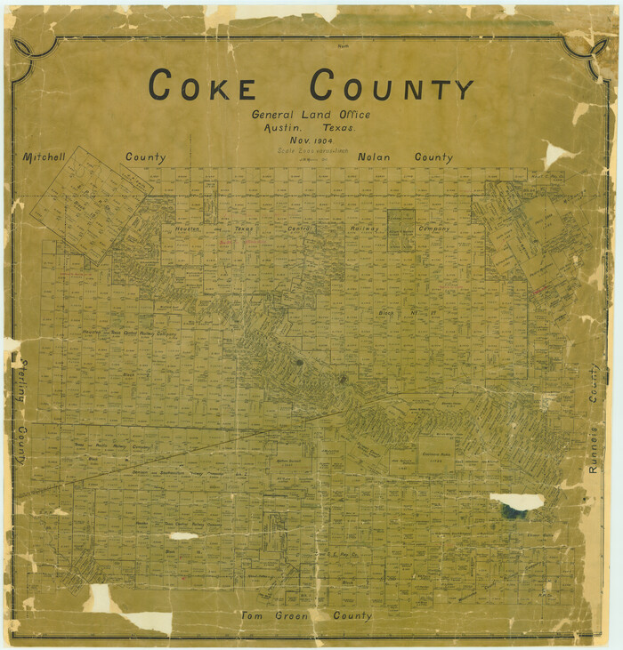
Official Copy of the Map of Williamson County made for the International and G. N. R. R. Co.
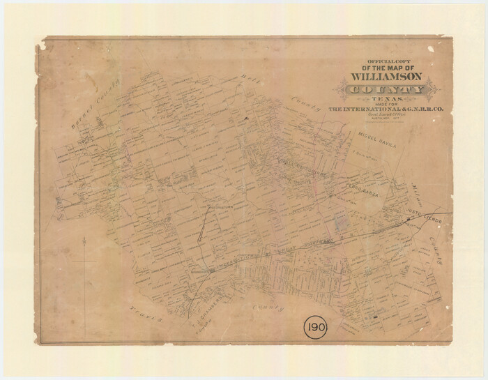

Print $20.00
- Digital $50.00
Official Copy of the Map of Williamson County made for the International and G. N. R. R. Co.
1877
Size 23.3 x 28.4 inches
Map/Doc 672
Smith County, Texas
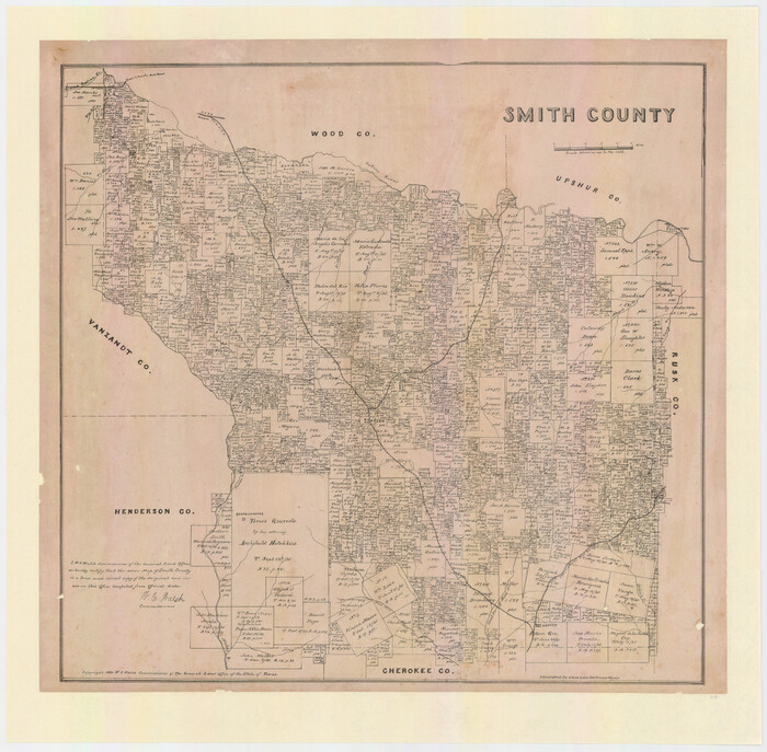

Print $20.00
- Digital $50.00
Smith County, Texas
1880
Size 23.7 x 29.2 inches
Map/Doc 618
Comanche County, Texas
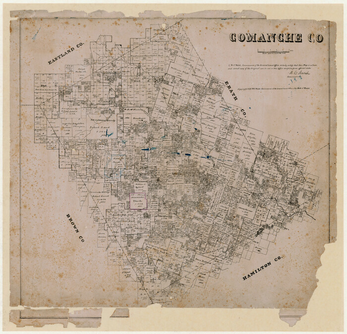

Print $20.00
- Digital $50.00
Comanche County, Texas
1879
Size 23.5 x 28.4 inches
Map/Doc 702
Map Showing Position of Surveys Represented Hereon
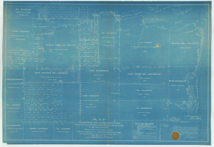

Print $40.00
- Digital $50.00
Map Showing Position of Surveys Represented Hereon
Size 39.6 x 57.9 inches
Map/Doc 75810
Lubbock County, Texas
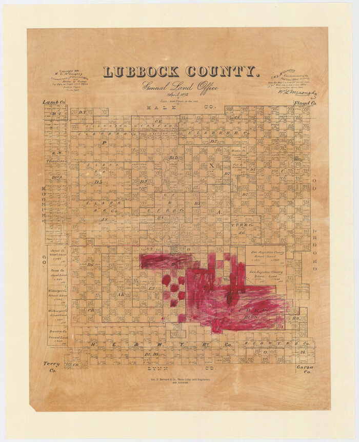

Print $20.00
- Digital $50.00
Lubbock County, Texas
1892
Size 27.8 x 22.6 inches
Map/Doc 565
Map of Survey in Dimmit and Webb Counties
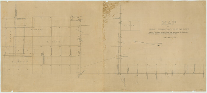

Print $40.00
- Digital $50.00
Map of Survey in Dimmit and Webb Counties
1913
Size 31.2 x 69.2 inches
Map/Doc 75828
Map of Callahan County, Texas


Print $20.00
- Digital $50.00
Map of Callahan County, Texas
1879
Size 24.6 x 19.6 inches
Map/Doc 4337
Sketch of Crosby Co.
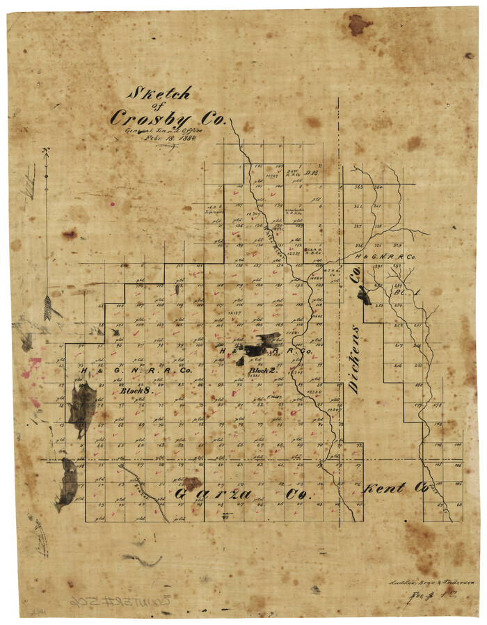

Print $20.00
- Digital $50.00
Sketch of Crosby Co.
1884
Size 14.8 x 12.5 inches
Map/Doc 506
Wendlandt's Subdivision of part of Outlot 4, Division "Z"


Print $20.00
- Digital $50.00
Wendlandt's Subdivision of part of Outlot 4, Division "Z"
1910
Size 17.9 x 13.5 inches
Map/Doc 5041
Part of Tom Green County, Texas (No. 1)


Print $20.00
- Digital $50.00
Part of Tom Green County, Texas (No. 1)
1870
Size 22.8 x 17.7 inches
Map/Doc 759
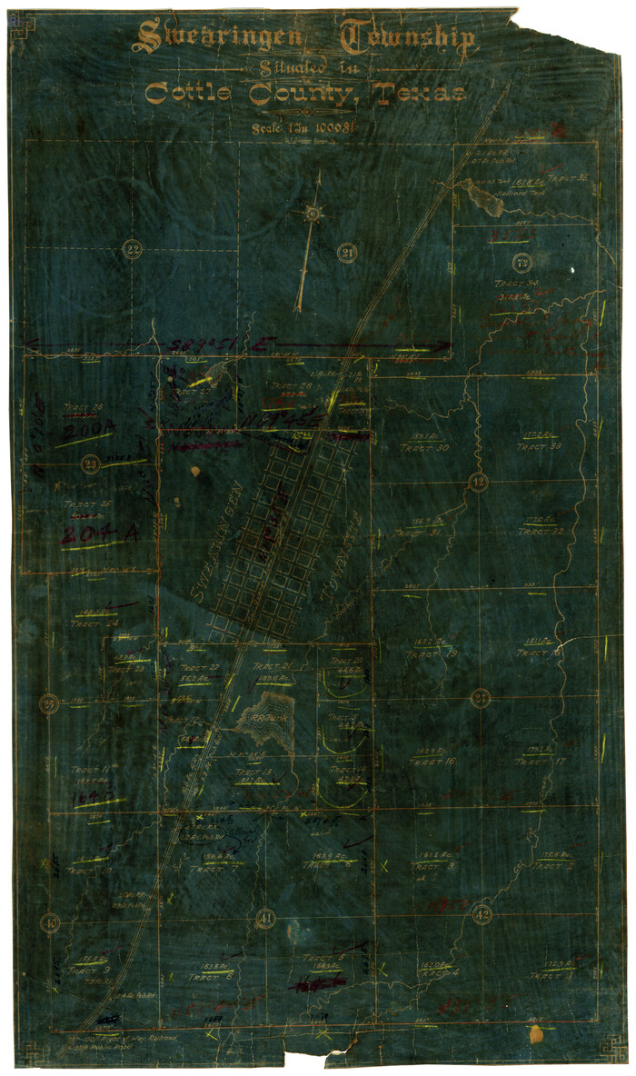
Swearingen Township situated in Cottle County, Texas

Print $20.00
- Digital $50.00
Swearingen Township situated in Cottle County, Texas
Size 26.4 x 15.7 inches
Map/Doc 4437
You may also like
[Sketch for Mineral Application 26546 - Sabine River between Hawkins Creek and east boundary line of BBB&C RR Co. Surveys, R. S. Rathke]
![65666, [Sketch for Mineral Application 26546 - Sabine River between Hawkins Creek and east boundary line of BBB&C RR Co. Surveys, R. S. Rathke], General Map Collection](https://historictexasmaps.com/wmedia_w700/maps/65666.tif.jpg)
![65666, [Sketch for Mineral Application 26546 - Sabine River between Hawkins Creek and east boundary line of BBB&C RR Co. Surveys, R. S. Rathke], General Map Collection](https://historictexasmaps.com/wmedia_w700/maps/65666.tif.jpg)
Print $40.00
- Digital $50.00
[Sketch for Mineral Application 26546 - Sabine River between Hawkins Creek and east boundary line of BBB&C RR Co. Surveys, R. S. Rathke]
1931
Size 74.9 x 26.3 inches
Map/Doc 65666
Val Verde County Rolled Sketch 69


Print $40.00
- Digital $50.00
Val Verde County Rolled Sketch 69
1942
Size 72.5 x 20.0 inches
Map/Doc 9805
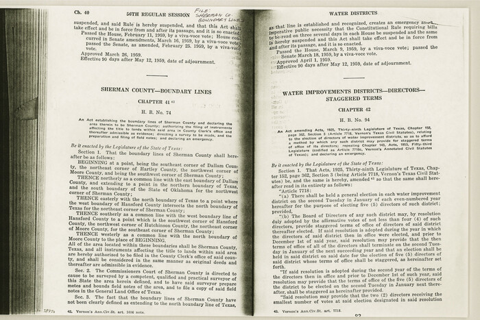
Sherman County Boundary File Index

Print $2.00
- Digital $50.00
Sherman County Boundary File Index
Size 8.8 x 13.2 inches
Map/Doc 58750
Harris County Sketch File G
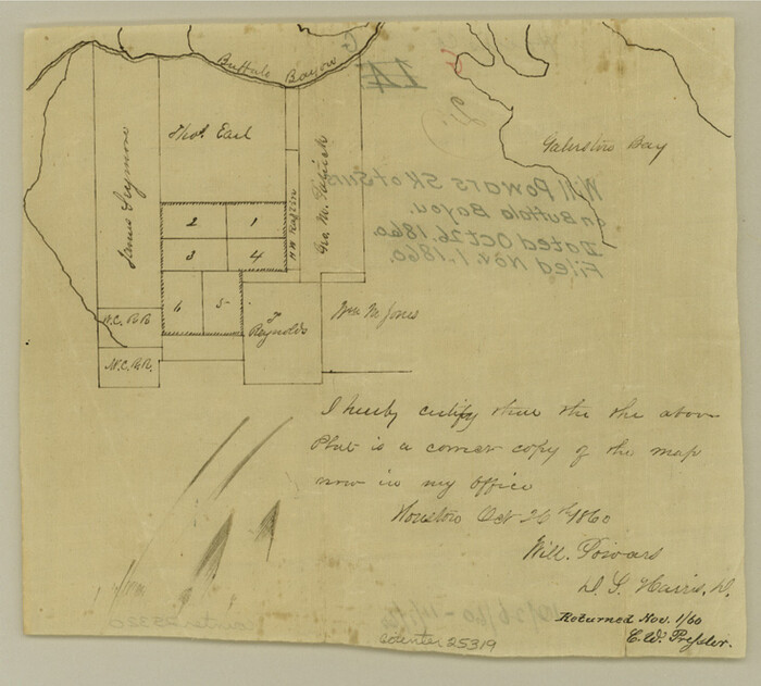

Print $4.00
- Digital $50.00
Harris County Sketch File G
1860
Size 6.6 x 7.3 inches
Map/Doc 25319
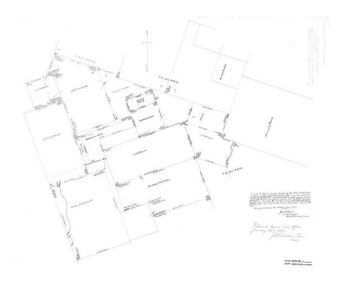
Hamilton County Rolled Sketch 7

Print $20.00
- Digital $50.00
Hamilton County Rolled Sketch 7
1927
Size 32.2 x 38.4 inches
Map/Doc 6057
Bexar County State Real Property Sketch 3
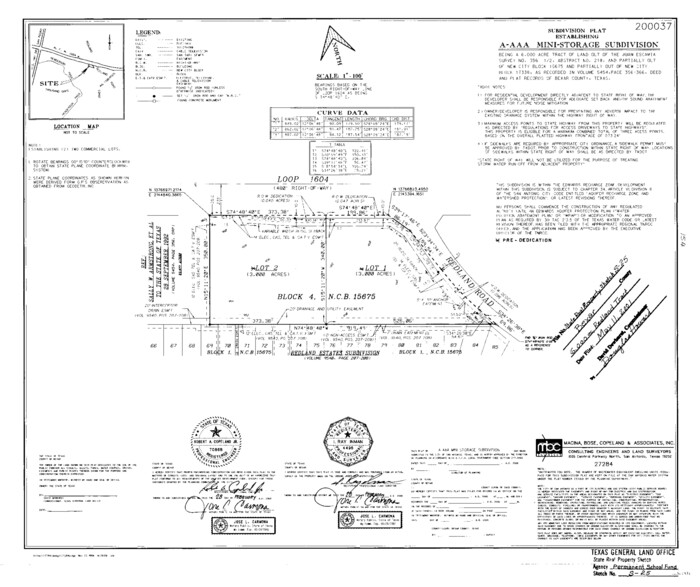

Print $20.00
- Digital $50.00
Bexar County State Real Property Sketch 3
2000
Size 18.8 x 22.5 inches
Map/Doc 61671
Hartley County Sketch File 18


Print $4.00
- Digital $50.00
Hartley County Sketch File 18
2001
Size 11.1 x 8.7 inches
Map/Doc 76330
Kleberg County Aerial Photograph Index Sheet 6
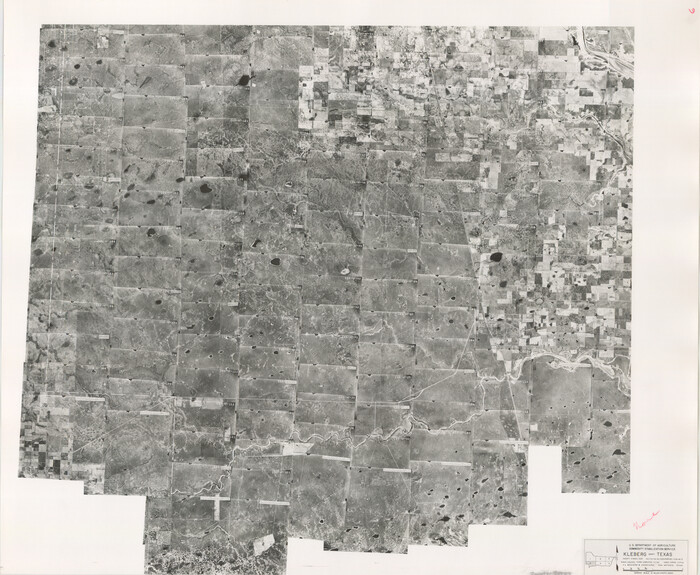

Print $20.00
- Digital $50.00
Kleberg County Aerial Photograph Index Sheet 6
1956
Size 19.3 x 23.5 inches
Map/Doc 83723
Bird's Eye View of Jefferson, Texas
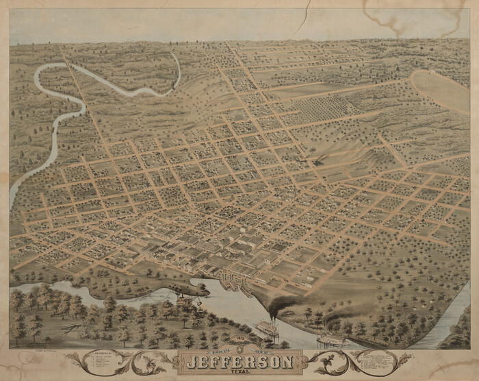

Print $20.00
Bird's Eye View of Jefferson, Texas
1872
Size 18.7 x 23.5 inches
Map/Doc 89095
The Compass Rose of Austin's Colony


Price $20.00
The Compass Rose of Austin's Colony
2016
Size 4.0 x 3.5 inches
Map/Doc 94443
Mason County Rolled Sketch 7


Print $20.00
- Digital $50.00
Mason County Rolled Sketch 7
1986
Size 24.3 x 20.3 inches
Map/Doc 6679
![384, [Block A, Greer County, Texas], Maddox Collection](https://historictexasmaps.com/wmedia_w1800h1800/maps/384.tif.jpg)
