Webb County Rolled Sketch 68
Sketch of surveys in Webb County showing conflicts from actual survey
-
Map/Doc
49485
-
Collection
General Map Collection
-
Object Dates
1910/8/27 (Creation Date)
1910/12/29 (File Date)
-
Counties
Webb
-
Subjects
Surveying Rolled Sketch
-
Height x Width
9.6 x 15.1 inches
24.4 x 38.4 cm
-
Medium
multi-page, multi-format
Part of: General Map Collection
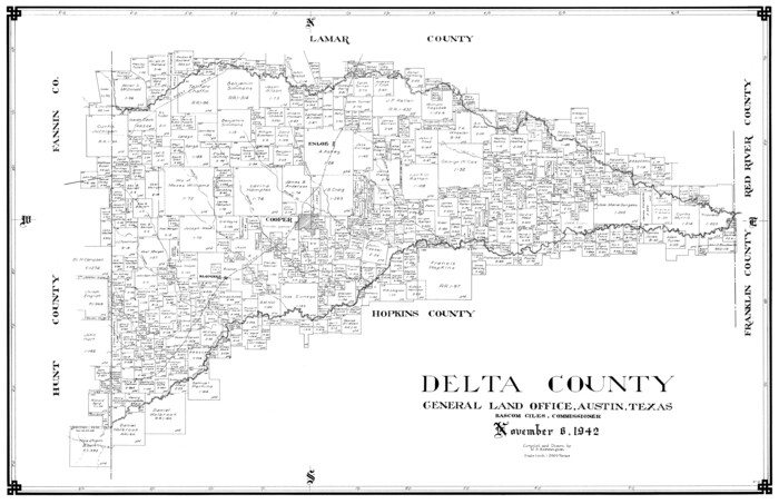
Engineer's Office, Department of the Gulf Map No. 59, Texas prepared by order of Maj. Gen. N. P. Banks under direction of Capt. P. C. Hains, U. S. Engr. & Chief Engr., Dept. of the Gulf


Print $20.00
- Digital $50.00
Engineer's Office, Department of the Gulf Map No. 59, Texas prepared by order of Maj. Gen. N. P. Banks under direction of Capt. P. C. Hains, U. S. Engr. & Chief Engr., Dept. of the Gulf
1865
Size 18.3 x 27.5 inches
Map/Doc 72719
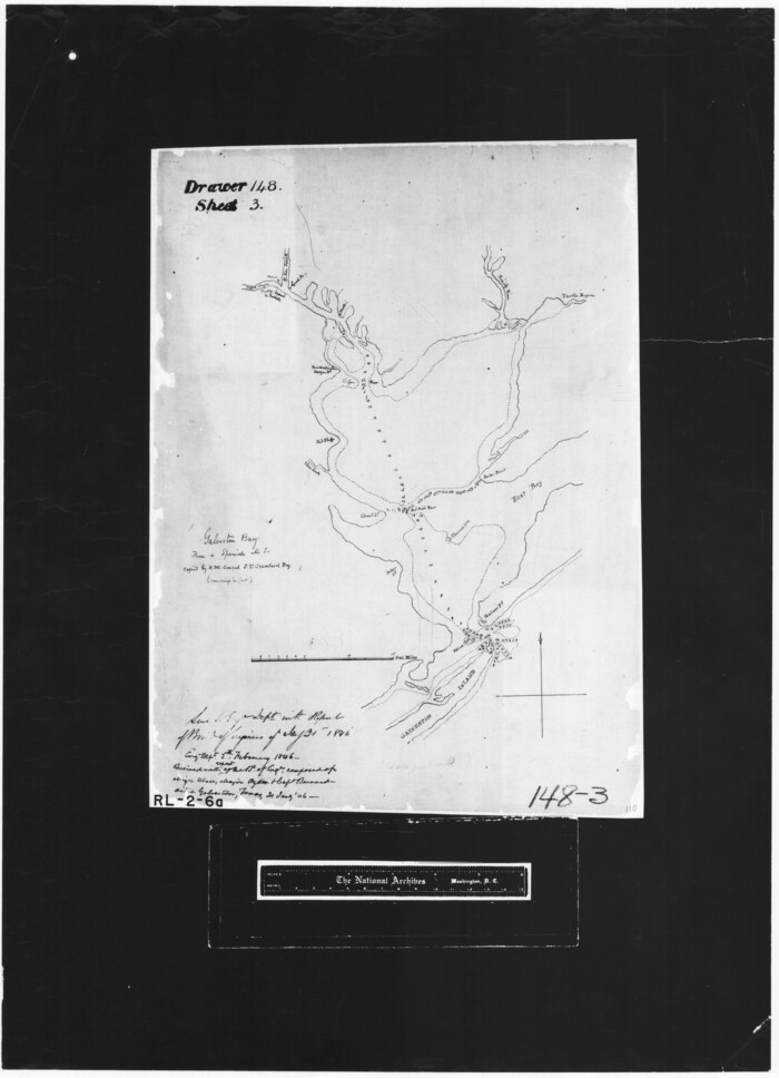
Galveston Bay from a Spanish M. S.

Print $20.00
- Digital $50.00
Galveston Bay from a Spanish M. S.
1846
Size 25.1 x 18.2 inches
Map/Doc 72759
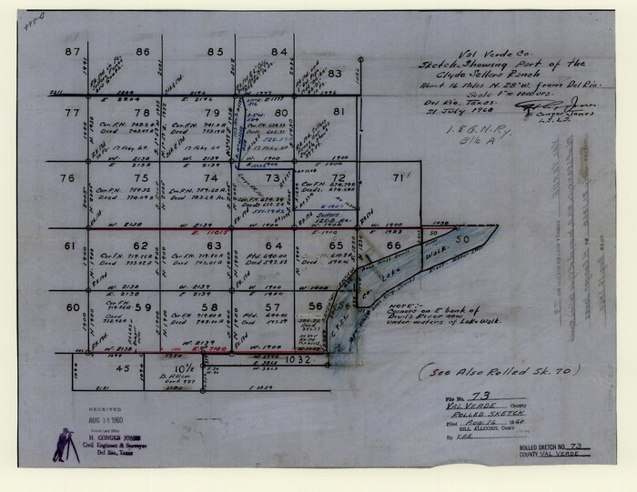
Val Verde County Rolled Sketch 73

Print $20.00
- Digital $50.00
Val Verde County Rolled Sketch 73
1960
Size 15.0 x 19.4 inches
Map/Doc 8136
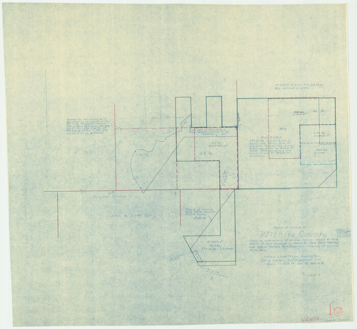
Wichita County Working Sketch 23

Print $20.00
- Digital $50.00
Wichita County Working Sketch 23
1963
Size 28.4 x 30.8 inches
Map/Doc 72533
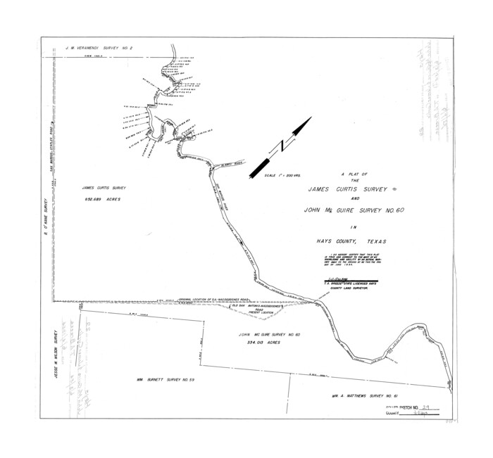
Hays County Rolled Sketch 29

Print $20.00
- Digital $50.00
Hays County Rolled Sketch 29
1954
Size 26.1 x 28.0 inches
Map/Doc 6184
Ward County Working Sketch 35


Print $20.00
- Digital $50.00
Ward County Working Sketch 35
1968
Size 46.4 x 43.0 inches
Map/Doc 72341
Map of the Texas & Pacific Railway "Gould System" Lines and Connections


Print $20.00
- Digital $50.00
Map of the Texas & Pacific Railway "Gould System" Lines and Connections
1890
Size 18.1 x 37.0 inches
Map/Doc 94102
Flight Mission No. CGI-1N, Frame 134, Cameron County


Print $20.00
- Digital $50.00
Flight Mission No. CGI-1N, Frame 134, Cameron County
1955
Size 18.5 x 22.1 inches
Map/Doc 84490
Cochran County


Print $20.00
- Digital $50.00
Cochran County
1946
Size 33.3 x 25.5 inches
Map/Doc 95456
Flight Mission No. BRE-2P, Frame 35, Nueces County


Print $20.00
- Digital $50.00
Flight Mission No. BRE-2P, Frame 35, Nueces County
1956
Size 18.7 x 22.8 inches
Map/Doc 86737
Hardeman County Sketch File 9


Print $20.00
- Digital $50.00
Hardeman County Sketch File 9
1884
Size 27.7 x 30.1 inches
Map/Doc 11624
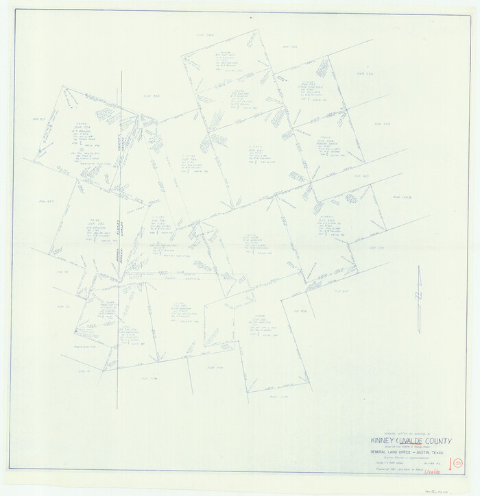
Uvalde County Working Sketch 55

Print $20.00
- Digital $50.00
Uvalde County Working Sketch 55
1983
Size 38.9 x 37.6 inches
Map/Doc 72125
You may also like
Brewster County Rolled Sketch 97


Print $20.00
- Digital $50.00
Brewster County Rolled Sketch 97
1952
Size 31.6 x 30.7 inches
Map/Doc 5254
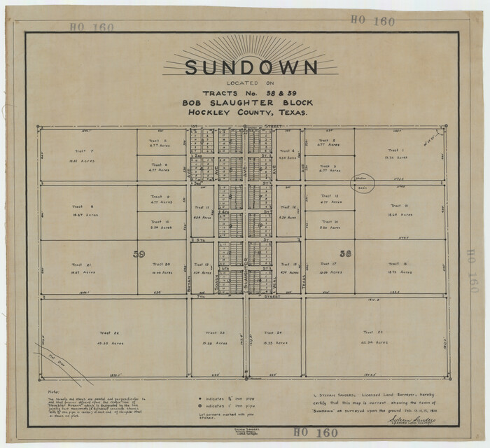
Sundown Located on Tracts Number 58 and 59 Bob Slaughter Block Hockley County, Texas

Print $20.00
- Digital $50.00
Sundown Located on Tracts Number 58 and 59 Bob Slaughter Block Hockley County, Texas
1928
Size 21.4 x 19.4 inches
Map/Doc 92233
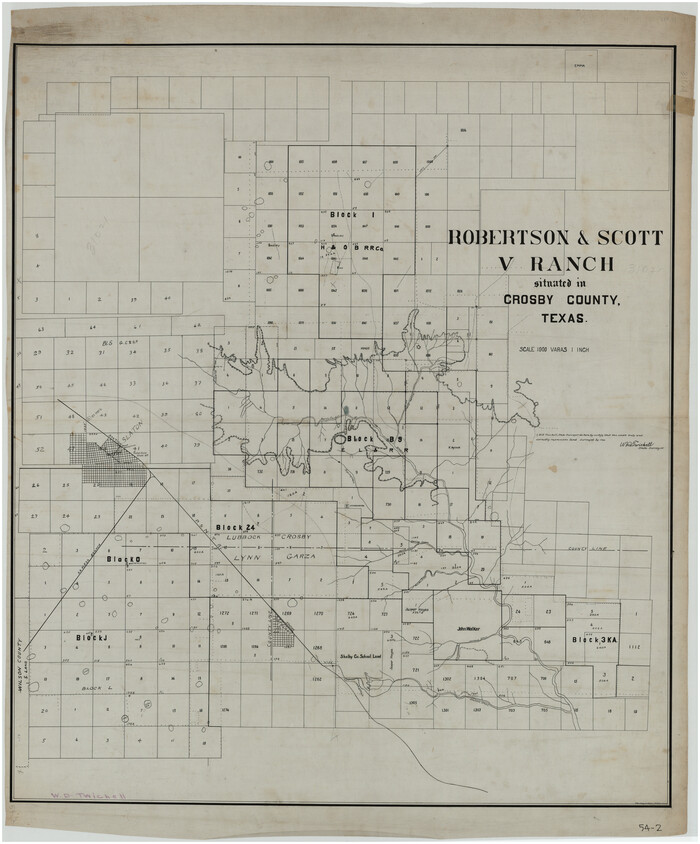
Robertson & Scott V Ranch situated in Crosby County, Texas

Print $40.00
- Digital $50.00
Robertson & Scott V Ranch situated in Crosby County, Texas
Size 42.0 x 50.3 inches
Map/Doc 89753
Flight Mission No. CRC-1R, Frame 38, Chambers County


Print $20.00
- Digital $50.00
Flight Mission No. CRC-1R, Frame 38, Chambers County
1956
Size 18.7 x 22.4 inches
Map/Doc 84706
Stephens County Working Sketch 16


Print $20.00
- Digital $50.00
Stephens County Working Sketch 16
1968
Size 21.4 x 30.4 inches
Map/Doc 63959
Flight Mission No. CRC-4R, Frame 112, Chambers County


Print $20.00
- Digital $50.00
Flight Mission No. CRC-4R, Frame 112, Chambers County
1956
Size 18.6 x 22.4 inches
Map/Doc 84909
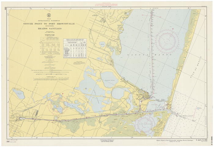
Texas Intracoastal Waterway - Stover Point to Port Brownsville including Brazos Santiago

Print $20.00
- Digital $50.00
Texas Intracoastal Waterway - Stover Point to Port Brownsville including Brazos Santiago
1961
Size 27.2 x 38.9 inches
Map/Doc 73519
[Lgs. 195-199, 111, 112, 211-214, 678]
![90105, [Lgs. 195-199, 111, 112, 211-214, 678], Twichell Survey Records](https://historictexasmaps.com/wmedia_w700/maps/90105-1.tif.jpg)
![90105, [Lgs. 195-199, 111, 112, 211-214, 678], Twichell Survey Records](https://historictexasmaps.com/wmedia_w700/maps/90105-1.tif.jpg)
Print $20.00
- Digital $50.00
[Lgs. 195-199, 111, 112, 211-214, 678]
Size 16.6 x 13.0 inches
Map/Doc 90105
Dickens County Sketch File J


Print $12.00
- Digital $50.00
Dickens County Sketch File J
1904
Size 11.6 x 9.1 inches
Map/Doc 20883
Van Zandt County Sketch File 29c

Print $4.00
- Digital $50.00
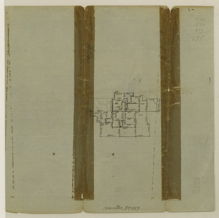
Van Zandt County Sketch File 29c
1861
Size 8.2 x 8.3 inches
Map/Doc 39459
Gregg County Rolled Sketch 16A

Print $20.00
- Digital $50.00
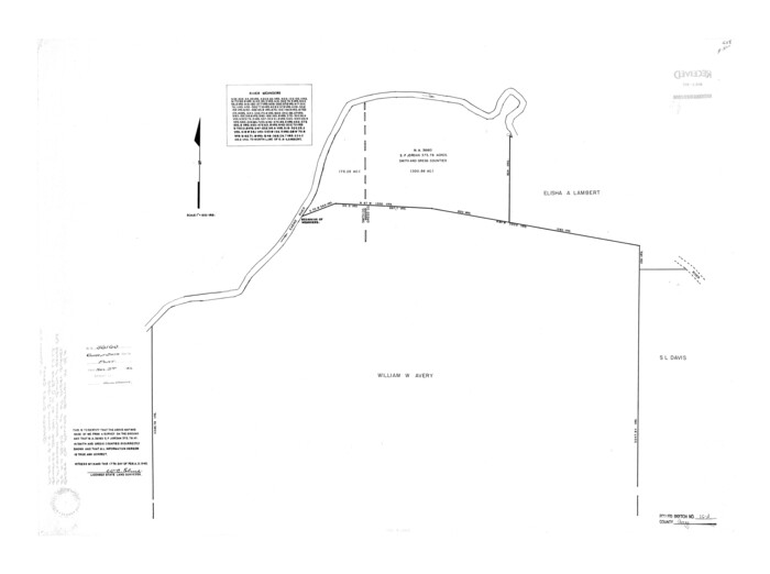
Gregg County Rolled Sketch 16A
1942
Size 30.1 x 40.4 inches
Map/Doc 6039

