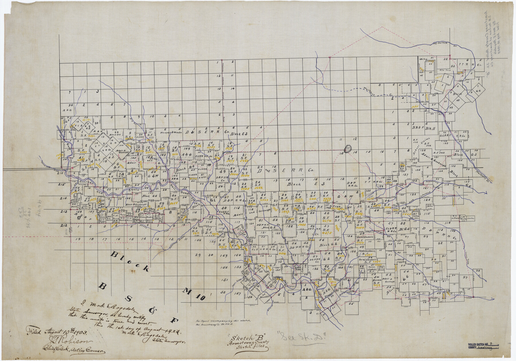
Armstrong County Rolled Sketch B
[SW portion of Armstrong Co.]
-
Map/Doc
5084
-
Collection
General Map Collection
-
Object Dates
1903/8/1 (Creation Date)
1903/8/10 (File Date)
-
People and Organizations
Mark E. Ragsdale (Surveyor/Engineer)
-
Counties
Armstrong
-
Subjects
Surveying Rolled Sketch
-
Height x Width
25.9 x 37.0 inches
65.8 x 94.0 cm
-
Medium
linen, manuscript
-
Comments
See Armstrong County Sketch File B (13669) for surveyor’s report.
Related maps
Armstrong County Sketch File B

Print $26.00
- Digital $50.00
Armstrong County Sketch File B
1903
Size 14.2 x 8.5 inches
Map/Doc 13669
Armstrong County Rolled Sketch B1

Print $20.00
- Digital $50.00
Armstrong County Rolled Sketch B1
1903
Size 25.8 x 37.8 inches
Map/Doc 5085
Part of: General Map Collection
Childress County Sketch File 4

Print $24.00
- Digital $50.00
Childress County Sketch File 4
1887
Size 8.1 x 12.0 inches
Map/Doc 18250

Gregg County Rolled Sketch 7

Print $20.00
- Digital $50.00
Gregg County Rolled Sketch 7
1933
Size 24.6 x 42.0 inches
Map/Doc 6032
Sutton County Working Sketch 5

Print $20.00
- Digital $50.00
Sutton County Working Sketch 5
1969
Size 25.4 x 33.4 inches
Map/Doc 62348
Terry County Sketch File 1

Print $20.00
- Digital $50.00
Terry County Sketch File 1
1903
Size 25.7 x 23.4 inches
Map/Doc 12428
Flight Mission No. CUG-1P, Frame 21, Kleberg County

Print $20.00
- Digital $50.00
Flight Mission No. CUG-1P, Frame 21, Kleberg County
1956
Size 18.5 x 22.2 inches
Map/Doc 86111
Potter County Working Sketch 4

Print $20.00
- Digital $50.00
Potter County Working Sketch 4
1920
Size 41.9 x 34.1 inches
Map/Doc 71664
Flight Mission No. CZW-3R, Frame 82

Print $20.00
- Digital $50.00
Flight Mission No. CZW-3R, Frame 82
1956
Size 18.6 x 22.3 inches
Map/Doc 85240
Flight Mission No. BRA-9M, Frame 67, Jefferson County

Print $20.00
- Digital $50.00
Flight Mission No. BRA-9M, Frame 67, Jefferson County
1953
Size 18.7 x 22.4 inches
Map/Doc 85650
Travis County Sketch File 25

Print $4.00
- Digital $50.00
Travis County Sketch File 25
1876
Size 12.7 x 8.5 inches
Map/Doc 38334
Parker County Working Sketch 9

Print $20.00
- Digital $50.00
Parker County Working Sketch 9
1958
Map/Doc 71459
Karnes County Sketch File 7a

Print $4.00
- Digital $50.00
Karnes County Sketch File 7a
1873
Size 10.1 x 8.1 inches
Map/Doc 28563
You may also like
[Surveys between the Lavaca River and Arenosa Creek]
![3184, [Surveys between the Lavaca River and Arenosa Creek], General Map Collection](https://historictexasmaps.com/wmedia_w700/maps/3184.tif.jpg)
Print $20.00
- Digital $50.00
[Surveys between the Lavaca River and Arenosa Creek]
1840
Size 25.6 x 18.9 inches
Map/Doc 3184

Terrell County Rolled Sketch 47

Print $20.00
- Digital $50.00
Terrell County Rolled Sketch 47
1958
Size 20.0 x 18.4 inches
Map/Doc 7949
Chambers County Sketch File Y

Print $4.00
- Digital $50.00
Chambers County Sketch File Y
1907
Size 14.3 x 8.7 inches
Map/Doc 17600
Clay County Sketch File 33

Print $4.00
- Digital $50.00
Clay County Sketch File 33
Size 12.0 x 7.6 inches
Map/Doc 18459
Montgomery County Rolled Sketch 33

Print $40.00
- Digital $50.00
Montgomery County Rolled Sketch 33
1953
Size 48.1 x 39.6 inches
Map/Doc 9541
Dimmit County Sketch File 1

Print $42.00
- Digital $50.00
Dimmit County Sketch File 1
1851
Size 8.8 x 7.5 inches
Map/Doc 21050
Flight Mission No. CLL-1N, Frame 110, Willacy County

Print $20.00
- Digital $50.00
Flight Mission No. CLL-1N, Frame 110, Willacy County
1954
Size 18.5 x 22.1 inches
Map/Doc 87044
Reeves County Sketch File 4

Print $20.00
- Digital $50.00
Reeves County Sketch File 4
Size 32.8 x 12.2 inches
Map/Doc 12240
General Highway Map, Upshur County, Texas

Print $20.00
General Highway Map, Upshur County, Texas
1961
Size 18.1 x 24.8 inches
Map/Doc 79692
[H. & G. N. Block 1]
![90941, [H. & G. N. Block 1], Twichell Survey Records](https://historictexasmaps.com/wmedia_w700/maps/90941-1.tif.jpg)
Print $20.00
- Digital $50.00
[H. & G. N. Block 1]
1873
Size 17.5 x 14.3 inches
Map/Doc 90941
Working Sketch in Roberts County, H. & G. N. RR Surveys, Block A

Print $20.00
- Digital $50.00
Working Sketch in Roberts County, H. & G. N. RR Surveys, Block A
1922
Size 17.8 x 18.2 inches
Map/Doc 91767