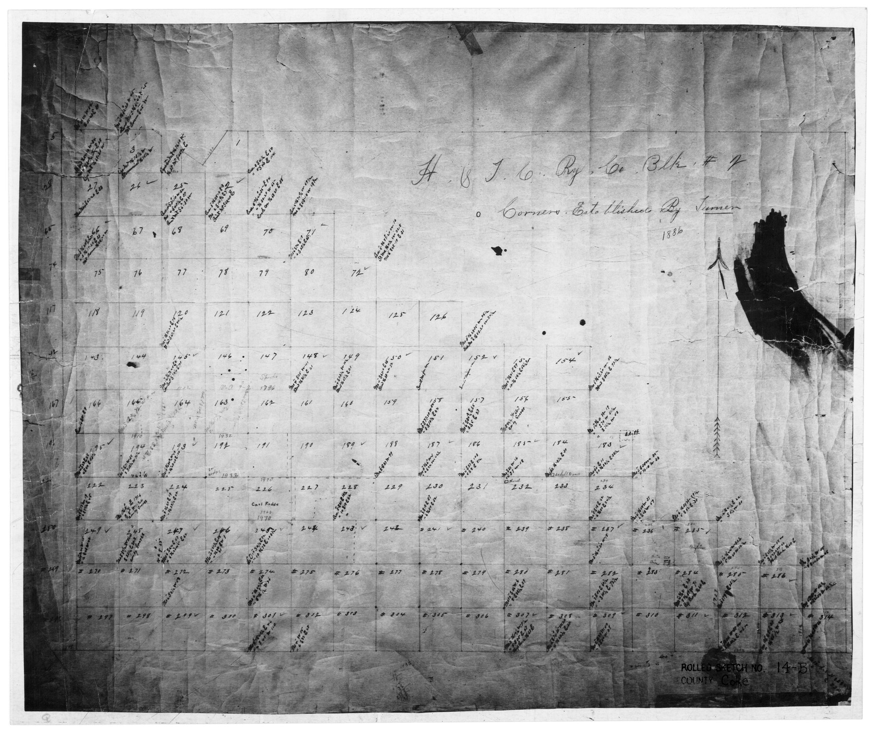
Coke County Rolled Sketch 14B
H. & T. C. Ry. Co. Block # 2
-
Map/Doc
5516
-
Collection
General Map Collection
-
Counties
Coke
-
Subjects
Surveying Rolled Sketch
-
Height x Width
16.3 x 19.3 inches
41.4 x 49.0 cm
-
Medium
photostat
Part of: General Map Collection
Ector County Working Sketch 24

Print $40.00
- Digital $50.00
Ector County Working Sketch 24
1961
Size 42.2 x 51.7 inches
Map/Doc 68867
Hood County Working Sketch 17

Print $40.00
- Digital $50.00
Hood County Working Sketch 17
1987
Size 42.2 x 54.4 inches
Map/Doc 66211
Newton County Working Sketch 36

Print $20.00
- Digital $50.00
Newton County Working Sketch 36
1960
Size 29.9 x 39.1 inches
Map/Doc 71282
Brazoria County Rolled Sketch 36

Print $20.00
- Digital $50.00
Brazoria County Rolled Sketch 36
Size 18.5 x 25.0 inches
Map/Doc 5172
Uvalde County Sketch File 13

Print $20.00
- Digital $50.00
Uvalde County Sketch File 13
Size 14.3 x 29.1 inches
Map/Doc 12528
Maps of Gulf Intracoastal Waterway, Texas - Sabine River to the Rio Grande and connecting waterways including ship channels

Print $20.00
- Digital $50.00
Maps of Gulf Intracoastal Waterway, Texas - Sabine River to the Rio Grande and connecting waterways including ship channels
1966
Size 14.5 x 22.2 inches
Map/Doc 61922
Floyd County Boundary File 4b

Print $40.00
- Digital $50.00
Floyd County Boundary File 4b
Size 11.9 x 24.8 inches
Map/Doc 53498
Maps of Gulf Intracoastal Waterway, Texas - Sabine River to the Rio Grande and connecting waterways including ship channels

Print $20.00
- Digital $50.00
Maps of Gulf Intracoastal Waterway, Texas - Sabine River to the Rio Grande and connecting waterways including ship channels
1966
Size 14.6 x 22.2 inches
Map/Doc 61976
Hansford County Sketch File 6

Print $8.00
- Digital $50.00
Hansford County Sketch File 6
1926
Size 13.6 x 9.0 inches
Map/Doc 24954
Medina County Rolled Sketch 5

Print $40.00
- Digital $50.00
Medina County Rolled Sketch 5
1948
Size 52.0 x 47.1 inches
Map/Doc 9505
Rusk County Rolled Sketch 11

Print $20.00
- Digital $50.00
Rusk County Rolled Sketch 11
1956
Size 33.2 x 43.3 inches
Map/Doc 9877
McMullen County Working Sketch 44

Print $20.00
- Digital $50.00
McMullen County Working Sketch 44
1981
Size 35.1 x 41.2 inches
Map/Doc 70745
You may also like
Scurry County Sketch Mineral Application No. 42315

Print $20.00
- Digital $50.00
Scurry County Sketch Mineral Application No. 42315
1950
Size 24.2 x 16.4 inches
Map/Doc 92926
Kimble County Working Sketch 77

Print $20.00
- Digital $50.00
Kimble County Working Sketch 77
1970
Size 25.0 x 36.2 inches
Map/Doc 70145
St. Marks to Galveston - Sheet II

Print $20.00
- Digital $50.00
St. Marks to Galveston - Sheet II
1846
Size 26.5 x 40.5 inches
Map/Doc 97397
Concho County Sketch File 47

Print $20.00
- Digital $50.00
Concho County Sketch File 47
1950
Size 16.8 x 21.0 inches
Map/Doc 11165
State Highway System of Texas Showing Condition of Improvement

Print $20.00
- Digital $50.00
State Highway System of Texas Showing Condition of Improvement
1928
Size 24.3 x 36.4 inches
Map/Doc 93719
Polk County Working Sketch 30

Print $20.00
- Digital $50.00
Polk County Working Sketch 30
1960
Size 18.2 x 24.4 inches
Map/Doc 71646
Hemphill County Working Sketch 36

Print $40.00
- Digital $50.00
Hemphill County Working Sketch 36
1978
Size 38.3 x 51.7 inches
Map/Doc 66131
La Salle County Rolled Sketch 34

Print $20.00
- Digital $50.00
La Salle County Rolled Sketch 34
2019
Size 22.3 x 35.5 inches
Map/Doc 95702
Hudspeth County Sketch File 42

Print $12.00
- Digital $50.00
Hudspeth County Sketch File 42
1982
Size 14.2 x 8.7 inches
Map/Doc 27016
Hartley County

Print $40.00
- Digital $50.00
Hartley County
1902
Size 39.5 x 49.0 inches
Map/Doc 4973
Right of Way and Track Map, International & Gt. Northern Ry. operated by the International & Gt. Northern Ry. Co. Gulf Division, Mineola Branch

Print $40.00
- Digital $50.00
Right of Way and Track Map, International & Gt. Northern Ry. operated by the International & Gt. Northern Ry. Co. Gulf Division, Mineola Branch
1917
Size 25.4 x 121.1 inches
Map/Doc 64702
Henderson County Sketch File 11

Print $2.00
- Digital $50.00
Henderson County Sketch File 11
Size 8.5 x 3.7 inches
Map/Doc 26348