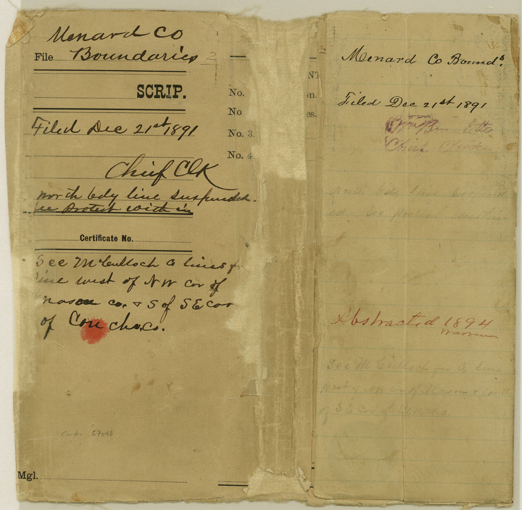
Menard County Boundary File 2
[Fieldnotes of the Boundary lines between Menard and Concho Counties; Fieldnotes of the Boundary line between Menard and Schleicher Counties]
-
Map/Doc
57046
-
Collection
General Map Collection
-
Counties
Menard
-
Subjects
County Boundaries
-
Height x Width
8.9 x 9.1 inches
22.6 x 23.1 cm
Part of: General Map Collection
Webb County Working Sketch 97

Print $20.00
- Digital $50.00
Webb County Working Sketch 97
1994
Size 27.1 x 30.6 inches
Map/Doc 72464
Culberson County Working Sketch 79

Print $20.00
- Digital $50.00
Culberson County Working Sketch 79
1976
Size 30.9 x 30.6 inches
Map/Doc 68533
Kinney County Sketch File 32

Print $6.00
- Digital $50.00
Kinney County Sketch File 32
1934
Size 11.2 x 8.8 inches
Map/Doc 29178
Wichita County Working Sketch 21

Print $20.00
- Digital $50.00
Wichita County Working Sketch 21
1951
Size 28.4 x 30.2 inches
Map/Doc 72531
Duval County Rolled Sketch Pressly No. 1A

Print $20.00
- Digital $50.00
Duval County Rolled Sketch Pressly No. 1A
1935
Size 25.4 x 37.6 inches
Map/Doc 5769
Montague County Working Sketch 45

Print $20.00
- Digital $50.00
Montague County Working Sketch 45
2013
Size 17.0 x 24.0 inches
Map/Doc 93649
Ellis County Boundary File 2

Print $12.00
- Digital $50.00
Ellis County Boundary File 2
Size 10.7 x 8.3 inches
Map/Doc 52944
Kimble County Working Sketch 48

Print $20.00
- Digital $50.00
Kimble County Working Sketch 48
1951
Size 23.2 x 22.1 inches
Map/Doc 70116
Orange County Working Sketch 18

Print $20.00
- Digital $50.00
Orange County Working Sketch 18
1931
Size 28.1 x 36.9 inches
Map/Doc 71350
Kinney County

Print $40.00
- Digital $50.00
Kinney County
1955
Size 50.5 x 47.0 inches
Map/Doc 73209
San Jacinto County Working Sketch 12

Print $20.00
- Digital $50.00
San Jacinto County Working Sketch 12
1935
Size 33.4 x 37.3 inches
Map/Doc 63725
Carte du Canada et de la Louisiane qui forment la Nouvelle France et des colonies angloises ou sont representez les pays contestez

Print $20.00
- Digital $50.00
Carte du Canada et de la Louisiane qui forment la Nouvelle France et des colonies angloises ou sont representez les pays contestez
1756
Size 21.5 x 29.6 inches
Map/Doc 97415
You may also like
Map of Robertson County

Print $20.00
- Digital $50.00
Map of Robertson County
1863
Size 25.6 x 20.7 inches
Map/Doc 3997
Pecos County Working Sketch 87

Print $20.00
- Digital $50.00
Pecos County Working Sketch 87
1962
Size 29.0 x 31.6 inches
Map/Doc 71559
Castro County Rolled Sketch 13A

Print $20.00
- Digital $50.00
Castro County Rolled Sketch 13A
1967
Size 20.0 x 18.9 inches
Map/Doc 5423
Burleson County Working Sketch 32

Print $20.00
- Digital $50.00
Burleson County Working Sketch 32
1981
Size 26.3 x 13.5 inches
Map/Doc 67751
Morris County Rolled Sketch 2A

Print $20.00
- Digital $50.00
Morris County Rolled Sketch 2A
Size 36.5 x 20.0 inches
Map/Doc 10283
Jeff Davis County Rolled Sketch T4

Print $20.00
- Digital $50.00
Jeff Davis County Rolled Sketch T4
Size 28.9 x 23.9 inches
Map/Doc 6382
Platt [sic] of Late Surveys on Carancahua, Jackson County
![78360, Platt [sic] of Late Surveys on Carancahua, Jackson County, General Map Collection](https://historictexasmaps.com/wmedia_w700/maps/78360.tif.jpg)
Print $2.00
- Digital $50.00
Platt [sic] of Late Surveys on Carancahua, Jackson County
Size 10.9 x 8.0 inches
Map/Doc 78360
La Salle County Sketch File 51

Print $20.00
- Digital $50.00
La Salle County Sketch File 51
1984
Size 13.4 x 20.5 inches
Map/Doc 11990
Austin County Working Sketch 7

Print $40.00
- Digital $50.00
Austin County Working Sketch 7
1992
Size 30.9 x 48.8 inches
Map/Doc 67248
Hardin County Working Sketch 7

Print $20.00
- Digital $50.00
Hardin County Working Sketch 7
1925
Size 23.3 x 12.6 inches
Map/Doc 63405
Grimes Estate Lands, Cochran County, Texas

Print $20.00
- Digital $50.00
Grimes Estate Lands, Cochran County, Texas
Size 25.6 x 21.6 inches
Map/Doc 92520
Ownership Map SW 1/4 Lubbock County

Print $20.00
- Digital $50.00
Ownership Map SW 1/4 Lubbock County
Size 33.7 x 36.8 inches
Map/Doc 89697