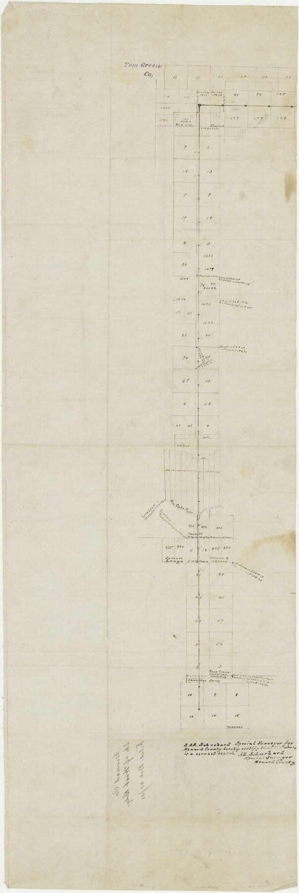
Menard County Boundary File 2a
Sketch of West Boundary, North Boundary Line
-
Map/Doc
57065
-
Collection
General Map Collection
-
Counties
Menard
-
Subjects
County Boundaries
-
Height x Width
36.4 x 12.2 inches
92.5 x 31.0 cm
Part of: General Map Collection
Harrison County Working Sketch 19

Print $20.00
- Digital $50.00
Harrison County Working Sketch 19
1978
Size 31.8 x 33.1 inches
Map/Doc 66039
A Map of the Cotton Kingdom and its Dependencies in America

Print $20.00
- Digital $50.00
A Map of the Cotton Kingdom and its Dependencies in America
1861
Size 12.2 x 18.6 inches
Map/Doc 96573
Jackson County Sketch File A2 (1)

Print $20.00
- Digital $50.00
Jackson County Sketch File A2 (1)
1899
Size 18.2 x 22.5 inches
Map/Doc 11848
[Right of Way & Track Map, The Texas & Pacific Ry. Co. Main Line]
![64678, [Right of Way & Track Map, The Texas & Pacific Ry. Co. Main Line], General Map Collection](https://historictexasmaps.com/wmedia_w700/maps/64678.tif.jpg)
Print $20.00
- Digital $50.00
[Right of Way & Track Map, The Texas & Pacific Ry. Co. Main Line]
Size 11.1 x 18.3 inches
Map/Doc 64678
Terrell County Rolled Sketch 46

Print $20.00
- Digital $50.00
Terrell County Rolled Sketch 46
1958
Size 16.1 x 14.6 inches
Map/Doc 7948
[Surveys along the Polk and Tyler County border]
![333, [Surveys along the Polk and Tyler County border], General Map Collection](https://historictexasmaps.com/wmedia_w700/maps/333.tif.jpg)
Print $2.00
- Digital $50.00
[Surveys along the Polk and Tyler County border]
Size 9.3 x 6.0 inches
Map/Doc 333
Newton County Working Sketch 15

Print $20.00
- Digital $50.00
Newton County Working Sketch 15
1949
Size 23.4 x 33.9 inches
Map/Doc 71261
Brazoria County NRC Article 33.136 Sketch 8

Print $20.00
- Digital $50.00
Brazoria County NRC Article 33.136 Sketch 8
2006
Size 17.1 x 11.2 inches
Map/Doc 83649
Hutchinson County Rolled Sketch 37

Print $20.00
- Digital $50.00
Hutchinson County Rolled Sketch 37
1950
Size 24.4 x 44.4 inches
Map/Doc 6296
Brewster County Sketch File NS-12

Print $40.00
- Digital $50.00
Brewster County Sketch File NS-12
Size 18.0 x 23.0 inches
Map/Doc 10990
Bandera County Rolled Sketch 8

Print $20.00
- Digital $50.00
Bandera County Rolled Sketch 8
Size 27.9 x 26.4 inches
Map/Doc 5119
Mason County Working Sketch 7

Print $20.00
- Digital $50.00
Mason County Working Sketch 7
1945
Size 35.8 x 43.9 inches
Map/Doc 70843
You may also like
Right of Way and Track Map of The Missouri, Kansas & Texas Railway of Texas

Print $40.00
- Digital $50.00
Right of Way and Track Map of The Missouri, Kansas & Texas Railway of Texas
1918
Size 24.8 x 52.6 inches
Map/Doc 64529
Flight Mission No. DCL-6C, Frame 15, Kenedy County

Print $20.00
- Digital $50.00
Flight Mission No. DCL-6C, Frame 15, Kenedy County
1943
Size 18.7 x 22.4 inches
Map/Doc 85872
[Surveys between the Lavaca River and Arenosa Creek]
![3184, [Surveys between the Lavaca River and Arenosa Creek], General Map Collection](https://historictexasmaps.com/wmedia_w700/maps/3184.tif.jpg)
Print $20.00
- Digital $50.00
[Surveys between the Lavaca River and Arenosa Creek]
1840
Size 25.6 x 18.9 inches
Map/Doc 3184
Flight Mission No. DAG-24K, Frame 151, Matagorda County

Print $20.00
- Digital $50.00
Flight Mission No. DAG-24K, Frame 151, Matagorda County
1953
Size 18.5 x 22.1 inches
Map/Doc 86565
[Southeast Portion of Lubbock County]
![91313, [Southeast Portion of Lubbock County], Twichell Survey Records](https://historictexasmaps.com/wmedia_w700/maps/91313-1.tif.jpg)
Print $20.00
- Digital $50.00
[Southeast Portion of Lubbock County]
Size 24.7 x 18.5 inches
Map/Doc 91313
Lampasas County Boundary File 13

Print $8.00
- Digital $50.00
Lampasas County Boundary File 13
Size 14.1 x 8.6 inches
Map/Doc 56194
Correct Map of the Railway and Steamship Lines operated by the Southern Pacific Company

Print $20.00
Correct Map of the Railway and Steamship Lines operated by the Southern Pacific Company
1894
Size 17.1 x 40.1 inches
Map/Doc 79322
Map of the Lower Rio Grande, accompanying report of the special committee on Texas frontier troubles, appointed by the House of Representatives, Jan. 6, 1876

Print $20.00
- Digital $50.00
Map of the Lower Rio Grande, accompanying report of the special committee on Texas frontier troubles, appointed by the House of Representatives, Jan. 6, 1876
1876
Size 12.1 x 17.6 inches
Map/Doc 95406
Plat of All Surveys on the Lavaca Not Heretofor Returned

Print $2.00
- Digital $50.00
Plat of All Surveys on the Lavaca Not Heretofor Returned
1841
Size 12.5 x 7.8 inches
Map/Doc 78361
Fayette County Boundary File 8

Print $19.00
- Digital $50.00
Fayette County Boundary File 8
Size 14.4 x 9.0 inches
Map/Doc 53402
Henderson County Sketch File 14

Print $4.00
- Digital $50.00
Henderson County Sketch File 14
1889
Size 10.7 x 7.3 inches
Map/Doc 26355
Hardin County Sketch File 68

Print $20.00
- Digital $50.00
Hardin County Sketch File 68
1948
Size 23.9 x 21.4 inches
Map/Doc 11640