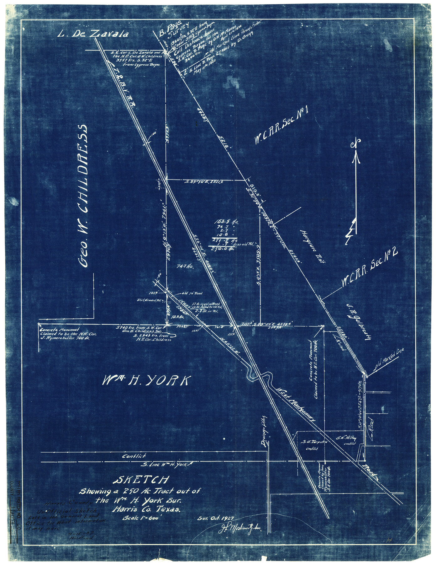
Harris County Rolled Sketch 60
Sketch showing a 250 ac. tract out of the Wm. H. York sur., Harris Co., Texas
-
Map/Doc
6106
-
Collection
General Map Collection
-
Object Dates
10/1927 (Creation Date)
-
People and Organizations
J.L. Moskowitz (Surveyor/Engineer)
-
Counties
Harris
-
Subjects
Surveying Rolled Sketch
-
Height x Width
27.4 x 21.3 inches
69.6 x 54.1 cm
-
Medium
blueprint/diazo
-
Scale
1" = 600 feet
Part of: General Map Collection
Fort Bend County State Real Property Sketch 14

Print $40.00
- Digital $50.00
Fort Bend County State Real Property Sketch 14
1985
Size 36.7 x 35.6 inches
Map/Doc 61688
Morris County Rolled Sketch 2A

Print $20.00
- Digital $50.00
Morris County Rolled Sketch 2A
Size 24.0 x 18.8 inches
Map/Doc 10275
Sterling County Rolled Sketch 19

Print $40.00
- Digital $50.00
Sterling County Rolled Sketch 19
1953
Size 53.7 x 47.7 inches
Map/Doc 9951
Map of Africa (Inset: Liberia and Sierra Leone)

Print $20.00
- Digital $50.00
Map of Africa (Inset: Liberia and Sierra Leone)
1844
Size 9.5 x 12.1 inches
Map/Doc 93549
Railroad Track Map, H&TCRRCo., Falls County, Texas

Print $4.00
- Digital $50.00
Railroad Track Map, H&TCRRCo., Falls County, Texas
1918
Size 11.7 x 18.5 inches
Map/Doc 62843
[Sketch for Mineral Application 1487 -Big Wichita River, Ernest R. Smith]
![65685, [Sketch for Mineral Application 1487 -Big Wichita River, Ernest R. Smith], General Map Collection](https://historictexasmaps.com/wmedia_w700/maps/65685.tif.jpg)
Print $40.00
- Digital $50.00
[Sketch for Mineral Application 1487 -Big Wichita River, Ernest R. Smith]
1918
Size 129.3 x 31.5 inches
Map/Doc 65685
Schleicher County Working Sketch 7

Print $20.00
- Digital $50.00
Schleicher County Working Sketch 7
1923
Size 22.4 x 14.7 inches
Map/Doc 63809
Coleman County Sketch File 16

Print $4.00
- Digital $50.00
Coleman County Sketch File 16
1849
Size 9.6 x 8.3 inches
Map/Doc 18683
Dimmit County Working Sketch Graphic Index - sheet A

Print $40.00
- Digital $50.00
Dimmit County Working Sketch Graphic Index - sheet A
1976
Size 42.0 x 49.7 inches
Map/Doc 76524
Schleicher County Sketch File 32

Print $22.00
- Digital $50.00
Schleicher County Sketch File 32
1941
Size 9.1 x 13.3 inches
Map/Doc 36532
Atascosa County Sketch File 16a

Print $4.00
- Digital $50.00
Atascosa County Sketch File 16a
1878
Size 12.7 x 8.2 inches
Map/Doc 13781
Flight Mission No. DIX-10P, Frame 63, Aransas County

Print $20.00
- Digital $50.00
Flight Mission No. DIX-10P, Frame 63, Aransas County
1956
Size 18.7 x 22.3 inches
Map/Doc 83924
You may also like
Jackson County

Print $20.00
- Digital $50.00
Jackson County
1920
Size 45.9 x 39.1 inches
Map/Doc 73191
Working Sketch in Lipscomb County

Print $20.00
- Digital $50.00
Working Sketch in Lipscomb County
1910
Size 6.8 x 39.1 inches
Map/Doc 90732
Presidio County Sketch File 67

Print $6.00
- Digital $50.00
Presidio County Sketch File 67
1940
Size 11.3 x 8.9 inches
Map/Doc 34659
Flight Mission No. BRE-1P, Frame 139, Nueces County

Print $20.00
- Digital $50.00
Flight Mission No. BRE-1P, Frame 139, Nueces County
1956
Size 18.8 x 22.6 inches
Map/Doc 86699
Dimmit County Sketch File 32

Print $6.00
- Digital $50.00
Dimmit County Sketch File 32
1886
Size 13.9 x 8.7 inches
Map/Doc 21148
Hutchinson County Sketch File 39

Print $20.00
- Digital $50.00
Hutchinson County Sketch File 39
1938
Size 23.5 x 19.0 inches
Map/Doc 11822

Harris County Rolled Sketch 26

Print $20.00
- Digital $50.00
Harris County Rolled Sketch 26
Size 28.2 x 41.3 inches
Map/Doc 6094
Galveston County NRC Article 33.136 Sketch 73

Print $28.00
- Digital $50.00
Galveston County NRC Article 33.136 Sketch 73
2013
Size 31.7 x 24.0 inches
Map/Doc 94995
Lampasas County Boundary File 4

Print $44.00
- Digital $50.00
Lampasas County Boundary File 4
Size 14.0 x 8.5 inches
Map/Doc 56110
[North part of G. C. & S. F. Block OP, Runnels County School Land and Blks. AB, CD and GH]
![90310, [North part of G. C. & S. F. Block OP, Runnels County School Land and Blks. AB, CD and GH], Twichell Survey Records](https://historictexasmaps.com/wmedia_w700/maps/90310-1.tif.jpg)
Print $20.00
- Digital $50.00
[North part of G. C. & S. F. Block OP, Runnels County School Land and Blks. AB, CD and GH]
Size 17.5 x 22.4 inches
Map/Doc 90310
Hill County Sketch File 17

Print $4.00
- Digital $50.00
Hill County Sketch File 17
1860
Size 12.5 x 8.3 inches
Map/Doc 26484