[Maps of surveys in Reeves & Culberson Cos]
N-1-51
-
Map/Doc
61139
-
Collection
General Map Collection
-
Object Dates
1937 (Creation Date)
-
Counties
Culberson
-
Height x Width
30.7 x 24.7 inches
78.0 x 62.7 cm
Part of: General Map Collection
Andrews County Boundary File 2a
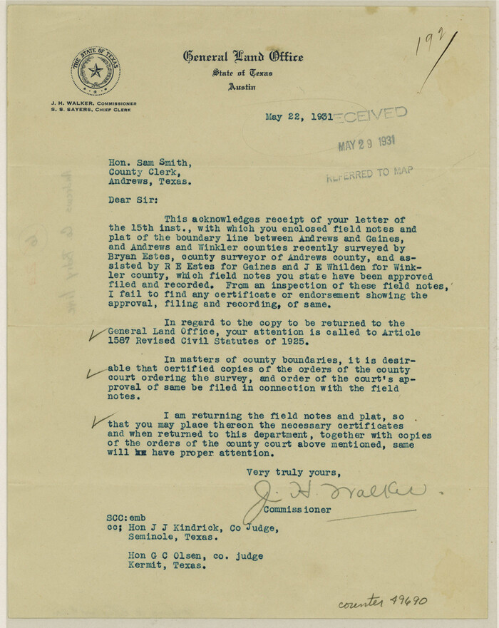

Print $14.00
- Digital $50.00
Andrews County Boundary File 2a
Size 11.2 x 8.9 inches
Map/Doc 49690
Flight Mission No. BRA-16M, Frame 120, Jefferson County
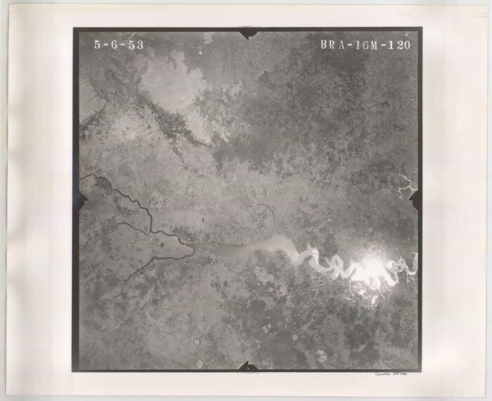

Print $20.00
- Digital $50.00
Flight Mission No. BRA-16M, Frame 120, Jefferson County
1953
Size 18.4 x 22.6 inches
Map/Doc 85730
Motley County Working Sketch 3
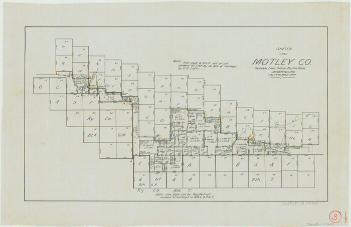

Print $20.00
- Digital $50.00
Motley County Working Sketch 3
1914
Size 13.2 x 20.4 inches
Map/Doc 71208
Lamar County Working Sketch 11


Print $20.00
- Digital $50.00
Lamar County Working Sketch 11
1980
Size 19.8 x 16.9 inches
Map/Doc 70272
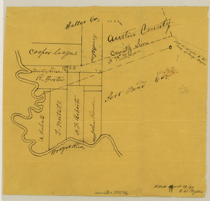
Waller County Sketch File 2a

Print $4.00
- Digital $50.00
Waller County Sketch File 2a
Size 8.0 x 8.4 inches
Map/Doc 39596
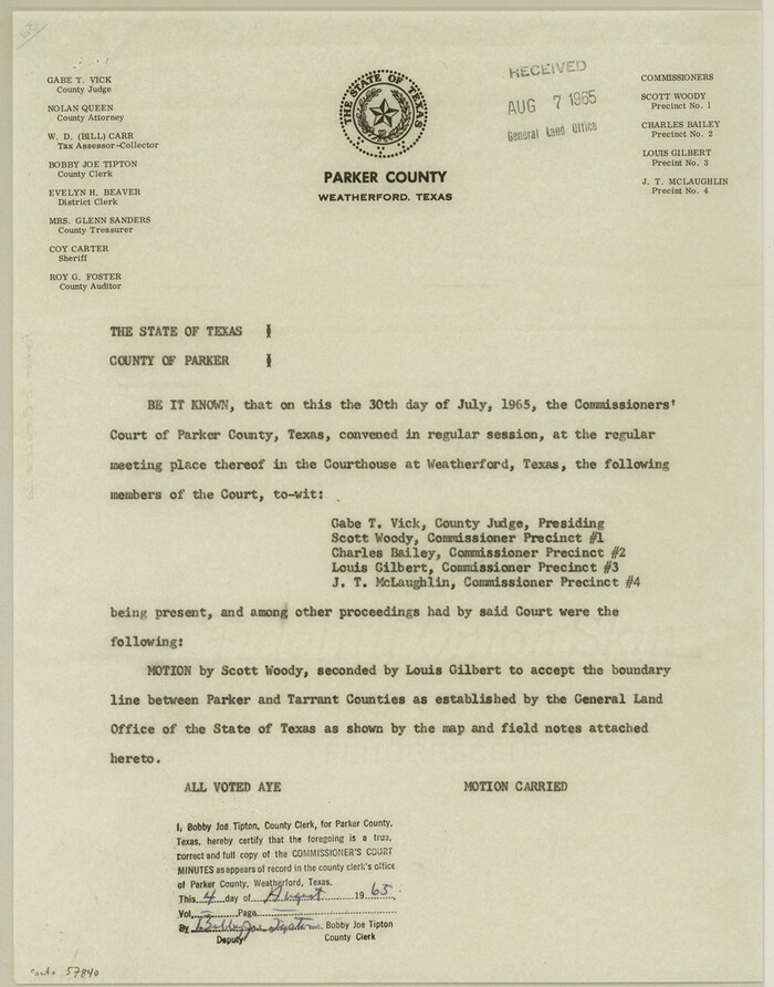
Parker County Boundary File 3a

Print $34.00
- Digital $50.00
Parker County Boundary File 3a
Size 11.2 x 8.8 inches
Map/Doc 57840
Pecos County Working Sketch 87


Print $20.00
- Digital $50.00
Pecos County Working Sketch 87
1962
Size 29.0 x 31.6 inches
Map/Doc 71559
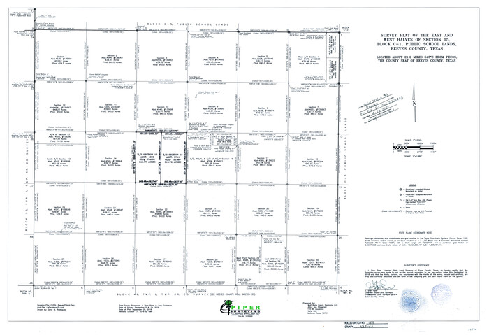
Reeves County Rolled Sketch 39

Print $20.00
- Digital $50.00
Reeves County Rolled Sketch 39
2018
Size 25.0 x 36.5 inches
Map/Doc 96570
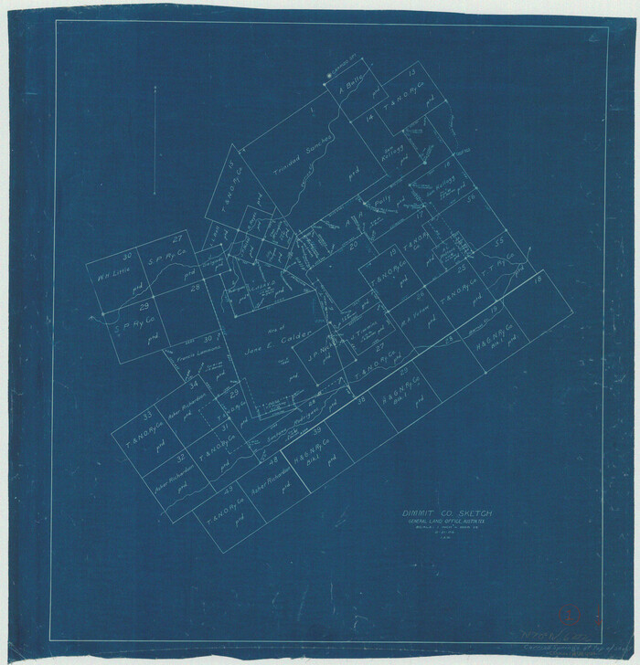
Dimmit County Working Sketch 1

Print $20.00
- Digital $50.00
Dimmit County Working Sketch 1
1906
Size 23.6 x 22.7 inches
Map/Doc 68662
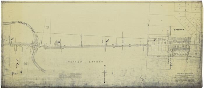
Right of Way & Track Map, St. Louis, Brownsville & Mexico Ry. operated by St. Louis, Brownsville & Mexico Ry. Co.

Print $40.00
- Digital $50.00
Right of Way & Track Map, St. Louis, Brownsville & Mexico Ry. operated by St. Louis, Brownsville & Mexico Ry. Co.
1919
Size 25.6 x 57.1 inches
Map/Doc 64616
Freestone County Sketch File 5

Print $42.00
- Digital $50.00
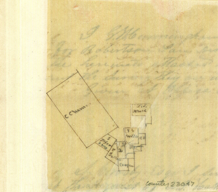
Freestone County Sketch File 5
1854
Size 4.6 x 5.2 inches
Map/Doc 23047
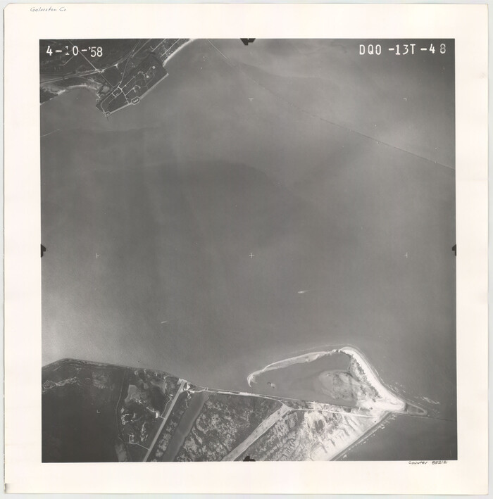
Flight Mission No. DQO-13T, Frame 48, Galveston County

Print $20.00
- Digital $50.00
Flight Mission No. DQO-13T, Frame 48, Galveston County
1958
Size 18.5 x 18.2 inches
Map/Doc 85212
You may also like
Wharton County Rolled Sketch 10


Print $20.00
- Digital $50.00
Wharton County Rolled Sketch 10
Size 21.9 x 32.8 inches
Map/Doc 8234
Padre Island National Seashore


Print $4.00
- Digital $50.00
Padre Island National Seashore
Size 16.0 x 21.9 inches
Map/Doc 60526
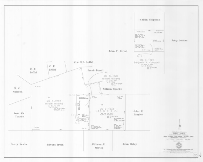
Hood County Working Sketch 32

Print $20.00
- Digital $50.00
Hood County Working Sketch 32
2004
Size 28.5 x 35.6 inches
Map/Doc 83573
Webb County Working Sketch 81

Print $40.00
- Digital $50.00
Webb County Working Sketch 81
1979
Size 69.0 x 43.6 inches
Map/Doc 72448
Map of Chicago, Rock Island & Texas Railway


Print $20.00
- Digital $50.00
Map of Chicago, Rock Island & Texas Railway
1892
Size 22.4 x 44.0 inches
Map/Doc 64443
La Louisiane, Suivant les Nouvelles Observations de Messrs de l'Academie Royale des Sciences

Print $20.00
La Louisiane, Suivant les Nouvelles Observations de Messrs de l'Academie Royale des Sciences
1735
Size 9.1 x 11.9 inches
Map/Doc 95279
Tarrant County Sketch File 11

Print $11.00
- Digital $50.00
Tarrant County Sketch File 11
1859
Size 7.5 x 6.2 inches
Map/Doc 37698
Tom Green County Working Sketch 14

Print $20.00
- Digital $50.00
Tom Green County Working Sketch 14
1982
Size 32.7 x 22.7 inches
Map/Doc 69383
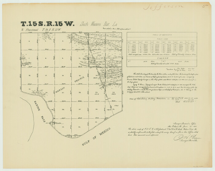
Township 15 South Range 15 West and Fractional Township 16 South Range 15 West, South Western District, Louisiana

Print $20.00
- Digital $50.00
Township 15 South Range 15 West and Fractional Township 16 South Range 15 West, South Western District, Louisiana
1875
Size 19.6 x 24.7 inches
Map/Doc 65861
[Surveys in Power and Hewetson's Colony along the Blanco and Medina Rivers]
![46, [Surveys in Power and Hewetson's Colony along the Blanco and Medina Rivers], General Map Collection](https://historictexasmaps.com/wmedia_w700/maps/46.tif.jpg)
![46, [Surveys in Power and Hewetson's Colony along the Blanco and Medina Rivers], General Map Collection](https://historictexasmaps.com/wmedia_w700/maps/46.tif.jpg)
Print $20.00
- Digital $50.00
[Surveys in Power and Hewetson's Colony along the Blanco and Medina Rivers]
1834
Size 37.0 x 29.9 inches
Map/Doc 46
Throckmorton County Working Sketch 3


Print $20.00
- Digital $50.00
Throckmorton County Working Sketch 3
1924
Size 19.8 x 23.8 inches
Map/Doc 62112
![61139, [Maps of surveys in Reeves & Culberson Cos], General Map Collection](https://historictexasmaps.com/wmedia_w1800h1800/maps/61139.tif.jpg)
