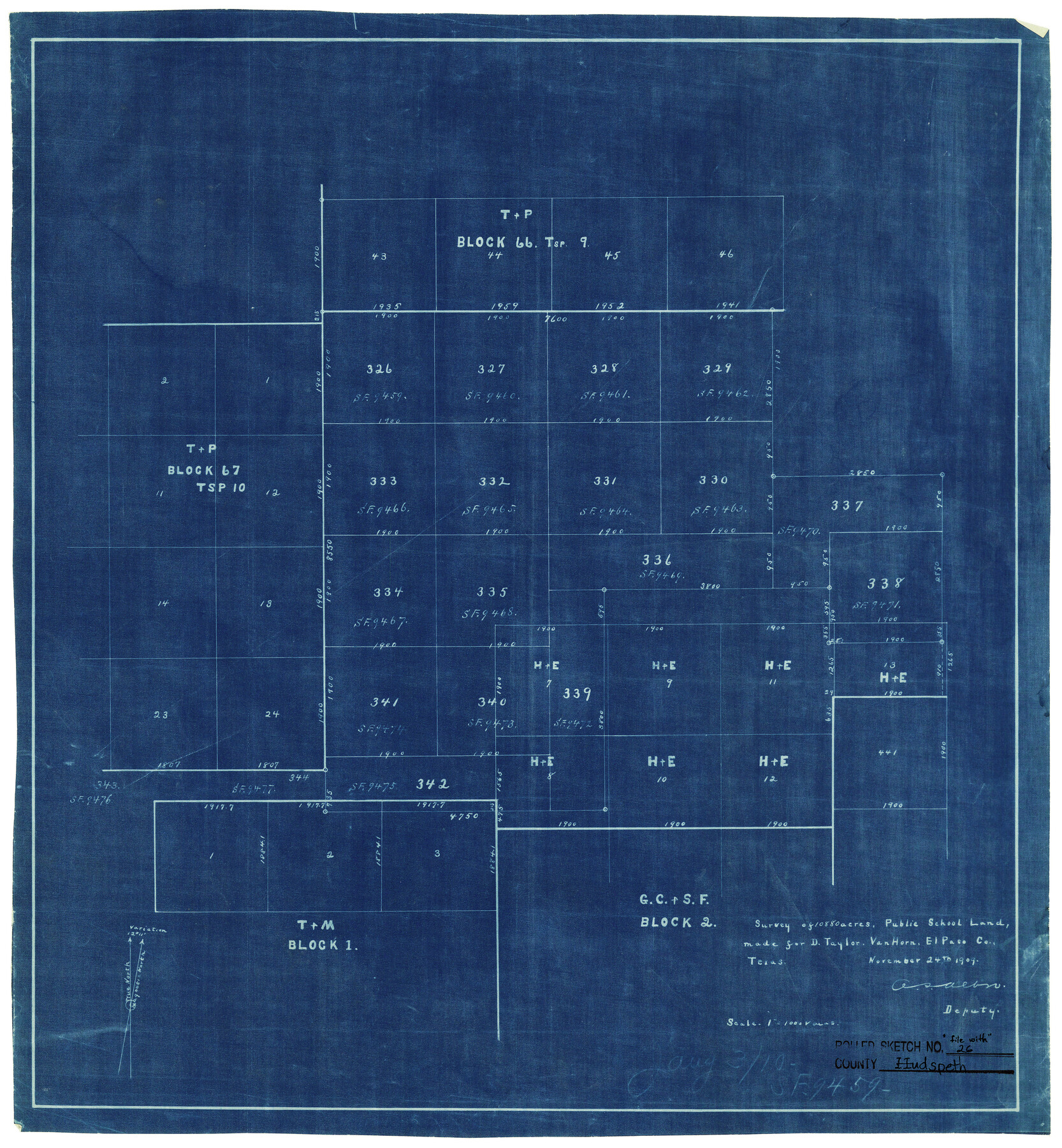
Hudspeth County Rolled Sketch 26
Survey of 10880 acres, Public School Land, made for D. Taylor (re: SF-9459 through SF-9477)
-
Map/Doc
6247
-
Collection
General Map Collection
-
Object Dates
11/24/1909 (Creation Date)
1/3/1910 (File Date)
-
People and Organizations
A.S. Albro (Surveyor/Engineer)
-
Counties
Hudspeth
-
Subjects
Surveying Rolled Sketch
-
Height x Width
19.3 x 18.0 inches
49.0 x 45.7 cm
-
Medium
blueprint/diazo
-
Scale
1" = 1000 varas
Part of: General Map Collection
Crockett County Rolled Sketch 30

Print $20.00
- Digital $50.00
Crockett County Rolled Sketch 30
1934
Size 24.5 x 43.1 inches
Map/Doc 8700
Flight Mission No. DQN-5K, Frame 39, Calhoun County

Print $20.00
- Digital $50.00
Flight Mission No. DQN-5K, Frame 39, Calhoun County
1953
Size 18.5 x 22.1 inches
Map/Doc 84387
Huntsville State Park

Print $20.00
- Digital $50.00
Huntsville State Park
1937
Size 24.1 x 34.8 inches
Map/Doc 2077
Duval County Working Sketch 18

Print $20.00
- Digital $50.00
Duval County Working Sketch 18
1939
Size 23.5 x 19.6 inches
Map/Doc 68731
Clay County Sketch File 11a

Print $22.00
- Digital $50.00
Clay County Sketch File 11a
1861
Size 18.3 x 11.9 inches
Map/Doc 11084
Chambers County NRC Article 33.136 Sketch 6

Print $58.00
- Digital $50.00
Chambers County NRC Article 33.136 Sketch 6
2007
Size 11.0 x 8.5 inches
Map/Doc 88802
Goliad County Sketch File 14

Print $4.00
- Digital $50.00
Goliad County Sketch File 14
1878
Size 8.6 x 11.4 inches
Map/Doc 24243
Loving County Sketch File 4

Print $40.00
- Digital $50.00
Loving County Sketch File 4
1961
Size 20.6 x 24.7 inches
Map/Doc 12014
Webb County Working Sketch 8

Print $20.00
- Digital $50.00
Webb County Working Sketch 8
1911
Size 43.1 x 39.9 inches
Map/Doc 72373
San Jacinto County Working Sketch 43

Print $20.00
- Digital $50.00
San Jacinto County Working Sketch 43
1981
Size 36.4 x 45.5 inches
Map/Doc 63757
Sutton County Working Sketch 15

Print $40.00
- Digital $50.00
Sutton County Working Sketch 15
1972
Size 37.0 x 81.1 inches
Map/Doc 62358
Coke County Sketch File 21

Print $20.00
- Digital $50.00
Coke County Sketch File 21
1911
Size 12.6 x 14.0 inches
Map/Doc 18614
You may also like

McLennan County Sketch File 23

Print $4.00
- Digital $50.00
McLennan County Sketch File 23
Size 5.6 x 3.2 inches
Map/Doc 31297
[Map of Connecting Lines along or near the Red River]
![75545, [Map of Connecting Lines along or near the Red River], General Map Collection](https://historictexasmaps.com/wmedia_w700/maps/75545.tif.jpg)
Print $40.00
- Digital $50.00
[Map of Connecting Lines along or near the Red River]
Size 37.9 x 48.7 inches
Map/Doc 75545
Flight Mission No. CRE-2R, Frame 165, Jackson County

Print $20.00
- Digital $50.00
Flight Mission No. CRE-2R, Frame 165, Jackson County
1956
Size 18.5 x 22.3 inches
Map/Doc 85375
Dickens County Working Sketch Graphic Index

Print $20.00
- Digital $50.00
Dickens County Working Sketch Graphic Index
1963
Size 42.5 x 33.6 inches
Map/Doc 76523
[John H. Gibson Block D Showing Patented Sections]
![92450, [John H. Gibson Block D Showing Patented Sections], Twichell Survey Records](https://historictexasmaps.com/wmedia_w700/maps/92450-1.tif.jpg)
Print $20.00
- Digital $50.00
[John H. Gibson Block D Showing Patented Sections]
Size 14.7 x 16.1 inches
Map/Doc 92450
Flight Mission No. DAG-17K, Frame 71, Matagorda County

Print $20.00
- Digital $50.00
Flight Mission No. DAG-17K, Frame 71, Matagorda County
1952
Size 18.6 x 19.5 inches
Map/Doc 86330
Carson County Sketch File 6

Print $32.00
- Digital $50.00
Carson County Sketch File 6
1928
Size 9.1 x 9.6 inches
Map/Doc 17358

MKT (Missouri Kansas Texas) Katy Railroad Time Tables

Print $54.00
- Digital $50.00
MKT (Missouri Kansas Texas) Katy Railroad Time Tables
1946
Size 9.3 x 16.4 inches
Map/Doc 93981
Brewster County Rolled Sketch 70

Print $20.00
- Digital $50.00
Brewster County Rolled Sketch 70
Size 23.6 x 20.1 inches
Map/Doc 5236
![94197, New Mexico [Verso], General Map Collection](https://historictexasmaps.com/wmedia_w700/maps/94197.tif.jpg)