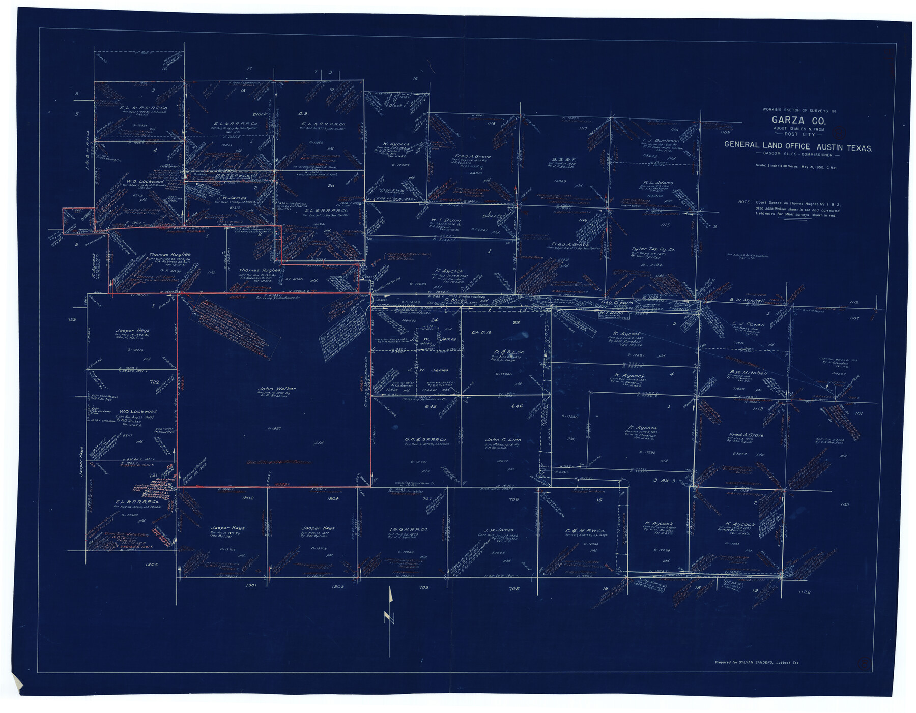
Garza County Working Sketch 8
-
Map/Doc
63155
-
Collection
General Map Collection
-
Object Dates
5/31/1950 (Creation Date)
-
People and Organizations
Curtis R. Hale (Draftsman)
-
Counties
Garza
-
Subjects
Surveying Working Sketch
-
Height x Width
37.4 x 48.0 inches
95.0 x 121.9 cm
-
Scale
1" = 400 varas
Part of: General Map Collection
Nueces County Rolled Sketch 38

Print $458.00
- Digital $50.00
Nueces County Rolled Sketch 38
Size 10.1 x 16.4 inches
Map/Doc 47717
Childress County Sketch File 20

Print $4.00
- Digital $50.00
Childress County Sketch File 20
1895
Size 12.7 x 8.2 inches
Map/Doc 18296
Presidio County Working Sketch 69

Print $20.00
- Digital $50.00
Presidio County Working Sketch 69
1960
Size 33.3 x 41.3 inches
Map/Doc 71746
Rusk County Rolled Sketch 9A

Print $20.00
- Digital $50.00
Rusk County Rolled Sketch 9A
1971
Size 30.4 x 19.1 inches
Map/Doc 7547
Map of Caldwell County

Print $20.00
- Digital $50.00
Map of Caldwell County
1871
Size 16.9 x 19.8 inches
Map/Doc 4590
Presidio County Working Sketch 17

Print $20.00
- Digital $50.00
Presidio County Working Sketch 17
1943
Size 17.5 x 30.9 inches
Map/Doc 71693

Mississippi River to Galveston

Print $40.00
- Digital $50.00
Mississippi River to Galveston
1973
Size 37.2 x 51.2 inches
Map/Doc 69946
Fractional Township No. 8 South Range No. 1 East of the Indian Meridian, Indian Territory

Print $20.00
- Digital $50.00
Fractional Township No. 8 South Range No. 1 East of the Indian Meridian, Indian Territory
1898
Size 19.3 x 24.3 inches
Map/Doc 75200
Brewster County Rolled Sketch 24F

Print $20.00
- Digital $50.00
Brewster County Rolled Sketch 24F
1910
Size 14.5 x 17.7 inches
Map/Doc 5213
Flight Mission No. CRE-3R, Frame 37, Jackson County

Print $20.00
- Digital $50.00
Flight Mission No. CRE-3R, Frame 37, Jackson County
1956
Size 18.5 x 22.3 inches
Map/Doc 85383
Victoria County Sketch File 14

Print $10.00
- Digital $50.00
Victoria County Sketch File 14
2002
Size 11.0 x 8.5 inches
Map/Doc 95398
You may also like
Travis County Appraisal District Plat Map 2_0604

Print $20.00
- Digital $50.00
Travis County Appraisal District Plat Map 2_0604
Size 21.5 x 26.4 inches
Map/Doc 94234
[Sketch Between Collingsworth County and Oklahoma]
![89663, [Sketch Between Collingsworth County and Oklahoma], Twichell Survey Records](https://historictexasmaps.com/wmedia_w700/maps/89663-1.tif.jpg)
Print $40.00
- Digital $50.00
[Sketch Between Collingsworth County and Oklahoma]
Size 9.4 x 62.5 inches
Map/Doc 89663
Township No. 2 South Range No. 24 West of the Indian Meridian

Print $20.00
- Digital $50.00
Township No. 2 South Range No. 24 West of the Indian Meridian
1875
Size 19.3 x 24.4 inches
Map/Doc 75174
Flight Mission No. CGI-1N, Frame 182, Cameron County

Print $20.00
- Digital $50.00
Flight Mission No. CGI-1N, Frame 182, Cameron County
1955
Size 18.6 x 22.3 inches
Map/Doc 84517
Map of the Houston & Tex. Cen. R.R. from Dallas, Dallas Co., to McKinney, Collin Co.

Print $20.00
- Digital $50.00
Map of the Houston & Tex. Cen. R.R. from Dallas, Dallas Co., to McKinney, Collin Co.
1873
Size 23.0 x 43.8 inches
Map/Doc 64474
[Capitol Leagues 633- 664]
![91076, [Capitol Leagues 633- 664], Twichell Survey Records](https://historictexasmaps.com/wmedia_w700/maps/91076-1.tif.jpg)
Print $20.00
- Digital $50.00
[Capitol Leagues 633- 664]
Size 17.0 x 14.6 inches
Map/Doc 91076
Austin County Sketch File 14

Print $40.00
- Digital $50.00
Austin County Sketch File 14
Size 18.8 x 8.8 inches
Map/Doc 13880
Travis County Rolled Sketch 14

Print $20.00
- Digital $50.00
Travis County Rolled Sketch 14
1939
Size 30.5 x 22.3 inches
Map/Doc 8017
Reeves County

Print $20.00
- Digital $50.00
Reeves County
1945
Size 46.4 x 37.3 inches
Map/Doc 77406
Southern Pacific Transportation Company, Right of Way and Track Map, Beeville Branch

Print $40.00
- Digital $50.00
Southern Pacific Transportation Company, Right of Way and Track Map, Beeville Branch
Size 24.1 x 56.1 inches
Map/Doc 76163
Flight Mission No. CLL-1N, Frame 36, Willacy County

Print $20.00
- Digital $50.00
Flight Mission No. CLL-1N, Frame 36, Willacy County
1954
Size 18.3 x 22.1 inches
Map/Doc 87017
University Land Field Notes for Blocks 34 through 37 in Terrell County

University Land Field Notes for Blocks 34 through 37 in Terrell County
Map/Doc 81720