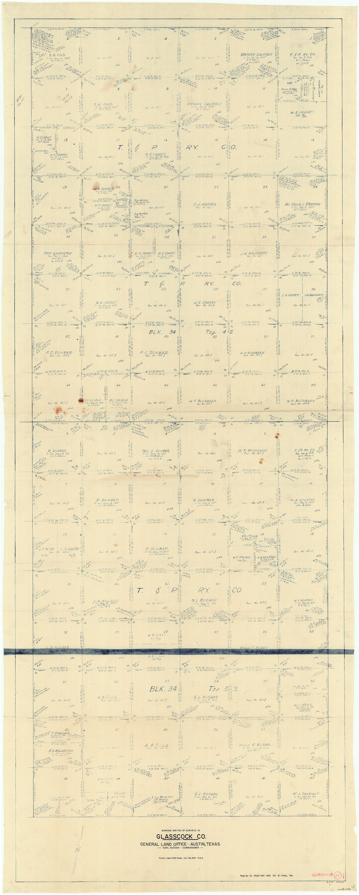
Glasscock County Working Sketch 11
-
Map/Doc
63184
-
Collection
General Map Collection
-
Object Dates
10/23/1957 (Creation Date)
-
People and Organizations
Otto G. Kurio (Draftsman)
-
Counties
Glasscock
-
Subjects
Surveying Working Sketch
-
Height x Width
87.4 x 36.2 inches
222.0 x 92.0 cm
-
Scale
1" = 400 varas
Part of: General Map Collection
Karnes County Boundary File 6

Print $16.00
- Digital $50.00
Karnes County Boundary File 6
Size 9.3 x 4.0 inches
Map/Doc 55735
Cochran County Sketch File 4

Print $20.00
- Digital $50.00
Cochran County Sketch File 4
1931
Size 24.9 x 22.1 inches
Map/Doc 11100
Clay County Boundary File 2

Print $6.00
- Digital $50.00
Clay County Boundary File 2
Size 10.5 x 8.2 inches
Map/Doc 51361
Brazos River, Washington Sheet

Print $6.00
- Digital $50.00
Brazos River, Washington Sheet
1936
Size 30.4 x 24.7 inches
Map/Doc 65277
Atascosa County Rolled Sketch 26

Print $20.00
- Digital $50.00
Atascosa County Rolled Sketch 26
2013
Size 24.6 x 36.6 inches
Map/Doc 95409
Denton County

Print $20.00
- Digital $50.00
Denton County
1947
Size 40.7 x 37.2 inches
Map/Doc 77262
Howard County Sketch File 3

Print $12.00
- Digital $50.00
Howard County Sketch File 3
1909
Size 9.0 x 8.3 inches
Map/Doc 26855
King County Boundary File 5b

Print $25.00
- Digital $50.00
King County Boundary File 5b
Size 8.7 x 6.9 inches
Map/Doc 64924
Houston County Working Sketch 25

Print $40.00
- Digital $50.00
Houston County Working Sketch 25
1983
Size 43.6 x 89.0 inches
Map/Doc 66255
Midland County Working Sketch 22

Print $40.00
- Digital $50.00
Midland County Working Sketch 22
1956
Size 97.0 x 43.1 inches
Map/Doc 71003
Uvalde County Sketch File 20

Print $40.00
- Digital $50.00
Uvalde County Sketch File 20
1882
Size 15.0 x 13.2 inches
Map/Doc 39002
Flight Mission No. CRC-2R, Frame 119, Chambers County

Print $20.00
- Digital $50.00
Flight Mission No. CRC-2R, Frame 119, Chambers County
1956
Size 18.6 x 22.4 inches
Map/Doc 84743
You may also like
General Highway Map, Jim Hogg County, Texas

Print $20.00
General Highway Map, Jim Hogg County, Texas
1940
Size 24.8 x 18.5 inches
Map/Doc 79146
Bosque County Sketch File 21

Print $12.00
- Digital $50.00
Bosque County Sketch File 21
1863
Size 10.9 x 8.7 inches
Map/Doc 14798
Webb County Sketch File A

Print $20.00
- Digital $50.00
Webb County Sketch File A
1891
Size 35.3 x 17.1 inches
Map/Doc 12603
Hall County Sketch File 15

Print $6.00
- Digital $50.00
Hall County Sketch File 15
Size 5.7 x 16.9 inches
Map/Doc 24814
Polk County Working Sketch 28

Print $40.00
- Digital $50.00
Polk County Working Sketch 28
1960
Size 53.5 x 43.6 inches
Map/Doc 71644
Oldham County Working Sketch 3

Print $20.00
- Digital $50.00
Oldham County Working Sketch 3
1946
Size 26.2 x 19.3 inches
Map/Doc 71325
Brazoria County Boundary File 1

Print $10.00
- Digital $50.00
Brazoria County Boundary File 1
Size 14.4 x 8.7 inches
Map/Doc 50699
Upshur County Working Sketch 5

Print $20.00
- Digital $50.00
Upshur County Working Sketch 5
1941
Size 15.0 x 20.6 inches
Map/Doc 69561
Brewster County Sketch File NS-3

Print $40.00
- Digital $50.00
Brewster County Sketch File NS-3
1913
Size 30.9 x 15.6 inches
Map/Doc 10986
Shelby County Working Sketch 20

Print $20.00
- Digital $50.00
Shelby County Working Sketch 20
1970
Size 28.0 x 22.8 inches
Map/Doc 63873
Map of Lee County

Print $20.00
- Digital $50.00
Map of Lee County
1874
Size 22.4 x 18.6 inches
Map/Doc 3805
Harris County Working Sketch 35

Print $20.00
- Digital $50.00
Harris County Working Sketch 35
1938
Size 28.8 x 25.2 inches
Map/Doc 65927